
Place · 0 mi away
Moderate
This is the Wild Basin classic: a waterfall-studded approach that earns you a quiet, high-country lake. Ouzel Lake is an out-and-back hike of about 9.9 miles total with roughly 1,700 feet of elevation gain. Expect a steady, mostly forested climb that turns airy on a burn-scar ridge before dropping into a serene basin at roughly 10,020 feet. Plan on 4.5–6 hours depending on your pace and how long you linger at the falls and the lake.
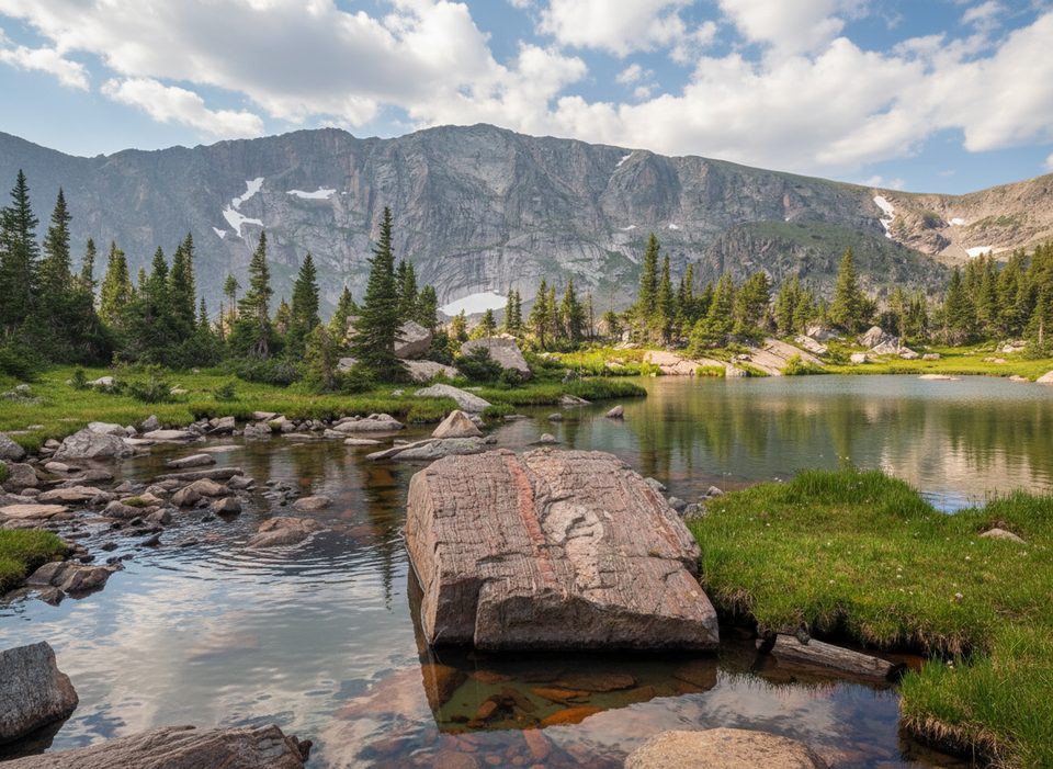
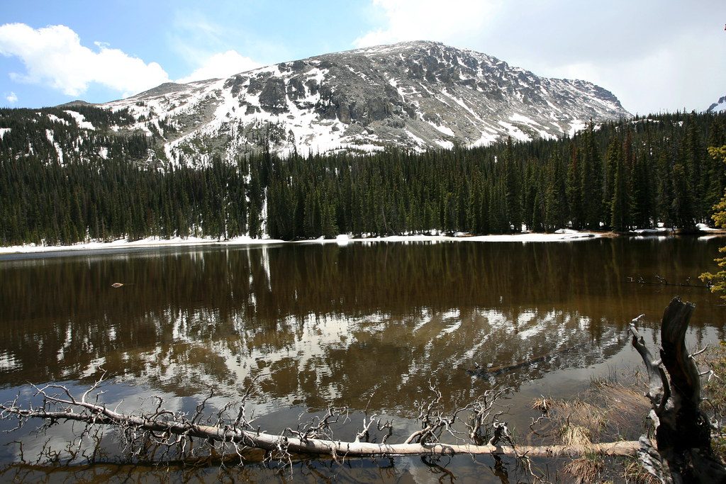
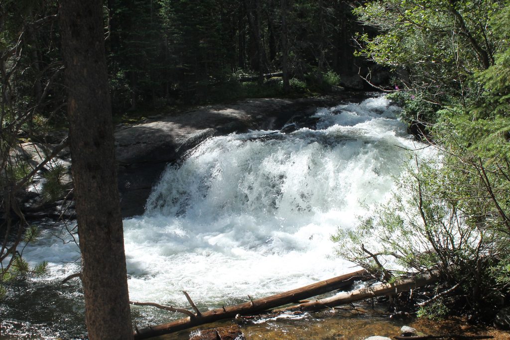
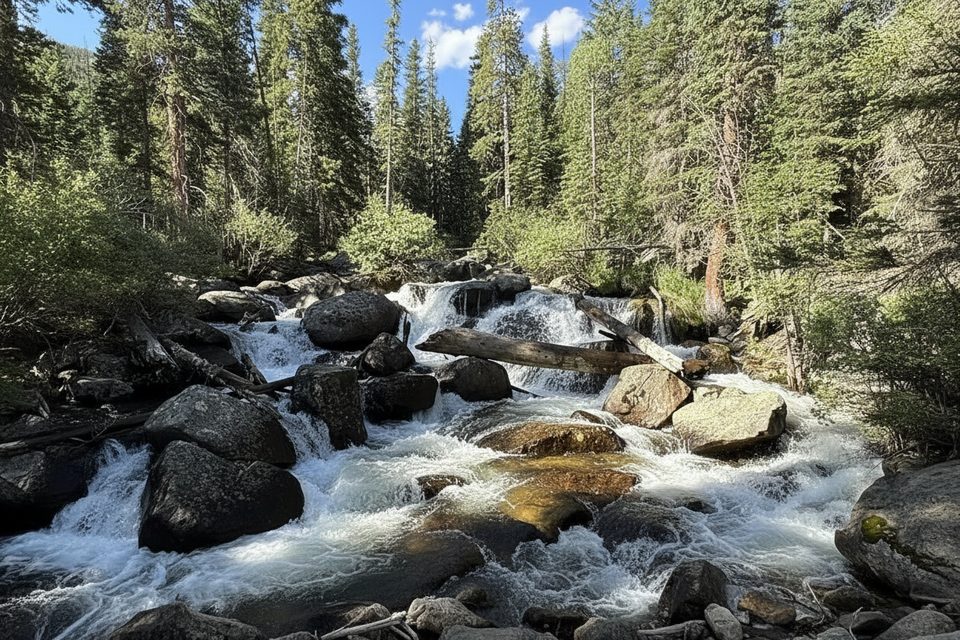
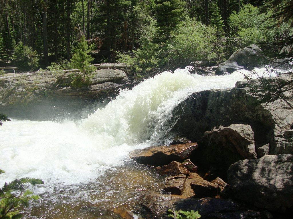
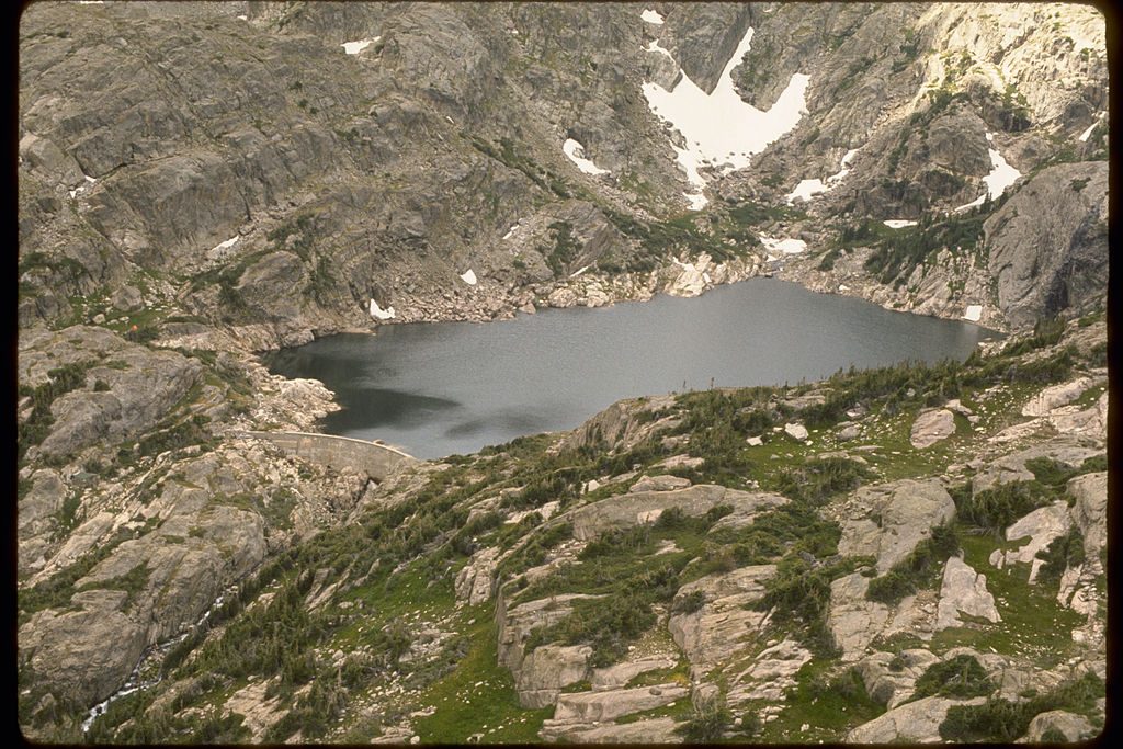
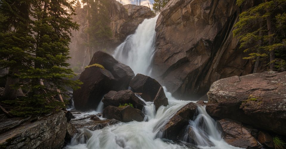
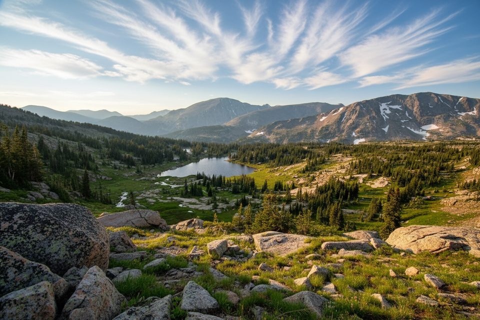
From the Wild Basin Trailhead, the North St. Vrain Creek is your soundtrack. Short spurs lead to Lower and Upper Copeland Falls, then the trail rolls up to the roaring Calypso Cascades. Around 2.7 miles in, Ouzel Falls is the crowd favorite—slick rock and spray mean watch your footing if you go for closer views. Beyond the falls, the masses thin. The trail climbs to a ridge through the 1978 Ouzel Fire burn scar, where open slopes and regenerating forest trade shade for mountain views. A gentle final approach drops you at Ouzel Lake—framed by Copeland, Mahana, and Ouzel Peaks—clear, shallow, and often calm.
It’s moderate-to-strenuous mainly for length and steady elevation, not technicality. If you’re comfortable with 10-mile days and some steeper grades, you’ll be fine. Many hikers turn around at Ouzel Falls; those who continue are rewarded with space and scenery.
This corridor packs a lot into one hike: multiple waterfalls, shaded spruce–fir forest down low, and the story of fire ecology up high. Keep an eye out (and an ear) for noisy Steller’s Jays around the lake. Black bears do frequent Wild Basin—store food properly and give all wildlife space. Anglers appreciate the lake’s reputation for backcountry fly fishing.
Late June through September usually offers the driest, most straightforward travel. Snow and ice can linger into early summer, and winter/shoulder seasons often require traction or snowshoes and solid backcountry judgment. Start early for parking and to enjoy the falls in softer morning light; afternoons can bring storms and heavier foot traffic to the lower segments.
Park at the Wild Basin Trailhead at the end of Wild Basin Road off CO‑7; the access road is gravel and the lot fills early—arrive morning-early, especially in peak season. Timed-entry reservations may be required in summer. Cell service is spotty, so download maps. Rocks near waterfalls are slick; trekking poles help on the descent and in shoulder-season conditions. Beyond the falls, the burn-scar ridge is sunnier and windier—pack layers, sun protection, and extra water. If you refill, treat or boil from the lake’s inlet or outlet streams.
There are designated backcountry sites along this corridor, including an Ouzel Lake campsite about 4.9 miles from the trailhead in spruce/fir on Copeland’s northeast slope. Campfires are prohibited. Bear-resistant food storage canisters are required from April 1 to October 31. Treat all water.
Wild Basin Trailhead at the end of Wild Basin Road off CO-7; gravel access, small lot fills early and cars line the road by late morning. Timed-entry may be required in peak season—arrive early.
Slick rocks at waterfalls; variable weather with snow/ice lingering into early summer; windy, sun-exposed burn-scar ridge; unreliable cell service; treat water and store food properly due to bears.
Place · 0 mi away
Place · 0.1 mi away
Place · 0.1 mi away
Place · 0.1 mi away
Moderate · 0 mi away
Challenging · 0 mi away
Moderate · 0 mi away
Challenging · 0 mi away

Parkwolf Tour Guide
