
Place · 0 mi away
Moderate
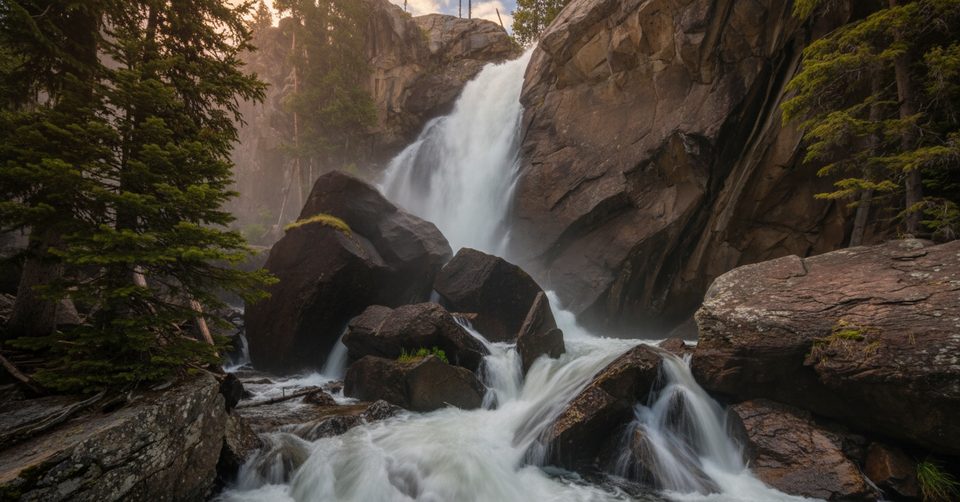
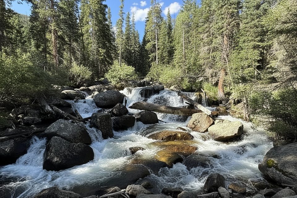
Ouzel Falls is a moderate, out‑and‑back hike in the Wild Basin corner of the park that strings together multiple water features en route to a dramatic ~40‑foot waterfall. It’s roughly 5.4 miles total with about 900–1,000 feet of gain, and most hikers spend 2.5–3.5 hours depending on pace. Expect a quieter vibe than the Bear Lake corridor, steady grades, and a lot of time in cool forest along a lively creek.
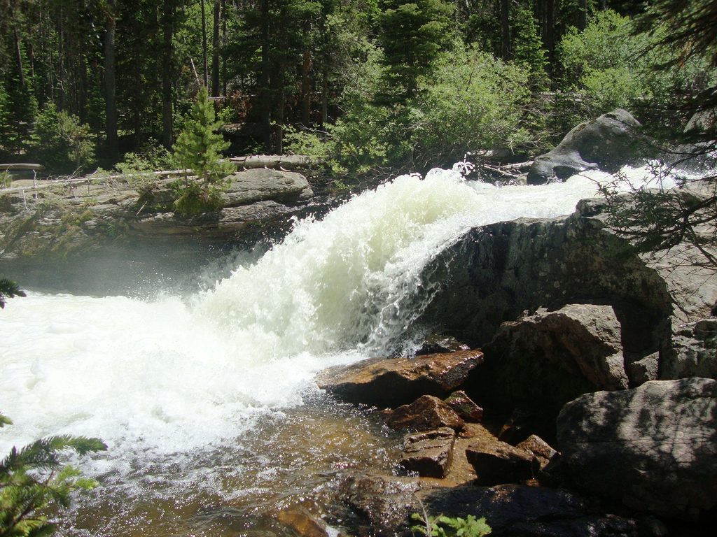
From Wild Basin Trailhead, the path follows North St. Vrain Creek past quick detours to Lower and Upper Copeland Falls, then climbs to Calypso Cascades—an impressive, bridge‑crossed rush of water that’s a worthy turnaround for shorter outings. Continue on a steeper stretch to reach Ouzel Falls, where a short spur on the left delivers the best view. Rocks near viewpoints are slick, and the spray can soak you—plan your footing and your layers.
The tread is well‑maintained with some rocky bits, built steps, and narrow sections. Much of the route is shaded, which helps on warm days. You’ll hear and see water most of the way, and the valley shows patches of forest regrowth from the historic Ouzel Fire—openings that create varied views. Wildlife is possible; this basin is known for bear activity and occasional moose near creek and marshy zones, and beaver sign is common along the water.
Late spring through fall is the sweet spot. Peak runoff in June–July makes every cascade thunder (and trail spray is real). August–September bring wildflowers and early color; October is cooler and quieter but water levels drop and early snow is possible. In winter and shoulder seasons, snow and ice linger on shaded slopes and bridges—traction can be essential.
Park at Wild Basin Trailhead (arrive early—lots fill fast). There’s an overflow area just before the bridge and vault toilets at the main lot. The final 0.4 miles of the access road is gravel and can be washboarded but is typically fine for passenger cars. Timed‑entry reservations are required in season for this area, and a park pass is always needed. Cell service is unreliable—download maps before you go. Pets are not permitted on this trail.
During spring runoff, water is swift; keep distance from edges and supervise kids. Rocks near the falls are slippery year‑round. Winter and shoulder seasons can mean icy bridges and packed snow—carry microspikes if conditions warrant. Weather changes fast at this elevation; watch for building thunderstorms and aim to be off exposed sections by midday. Note that a seasonal gate closure in the Wild Basin area (generally October–May) can add mileage to reach the trailhead.
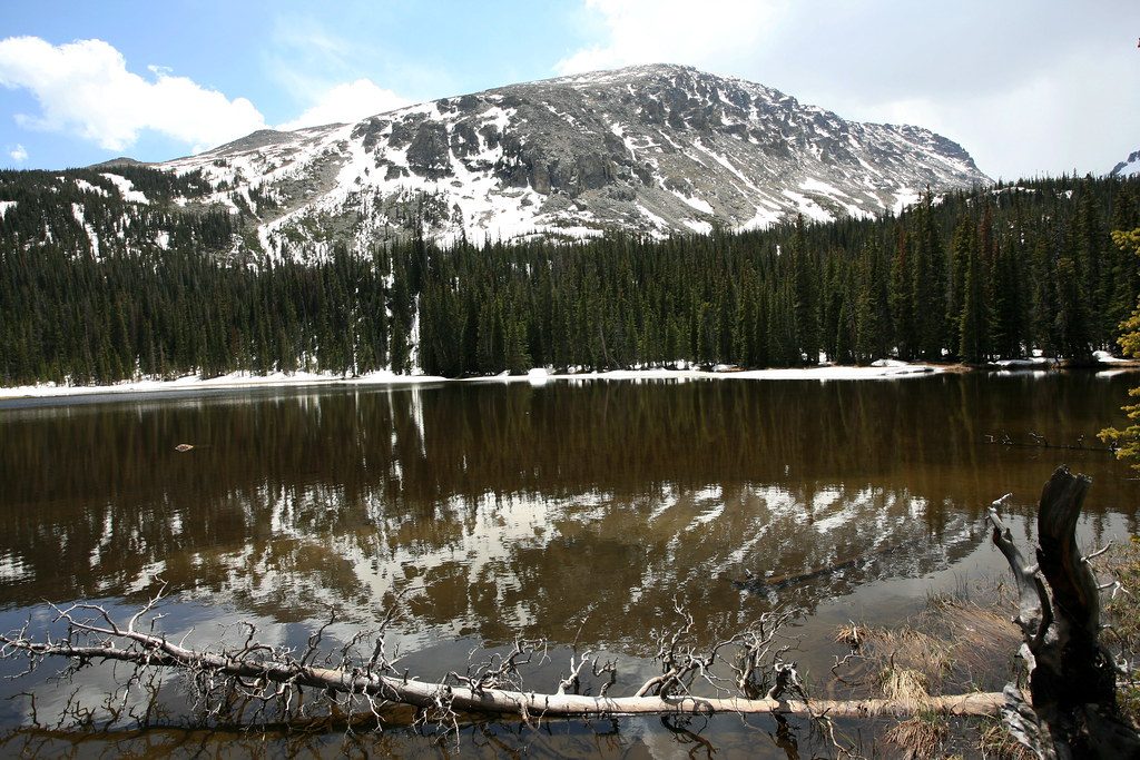
If you’re feeling strong, continue past the falls to Ouzel Lake for a more rugged day and bigger mountain views; the trail gets rockier and snow can linger into early summer. For a quieter alternative with fewer crowds but less waterfall action, head deeper into Wild Basin toward Thunder Lake instead.
Park at Wild Basin Trailhead; main lot plus a small overflow before the bridge. Arrive early—lots fill quickly. Vault toilets available. The last 0.4 miles of access road is gravel.
Swift spring runoff and slick rock near viewpoints; stay back from fast water. In winter and shoulder seasons, expect icy bridges and shaded sections—carry traction. Weather turns quickly; watch for thunderstorms and plan to be back by midday. Limited cell service. Timed-entry is required in season.
Place · 0 mi away
Place · 0.1 mi away
Place · 0.1 mi away
Place · 0.1 mi away
Moderate · 0 mi away
Moderate · 0 mi away
Challenging · 0 mi away
Challenging · 0 mi away

Parkwolf Tour Guide
