
Place · 0 mi away
Moderate
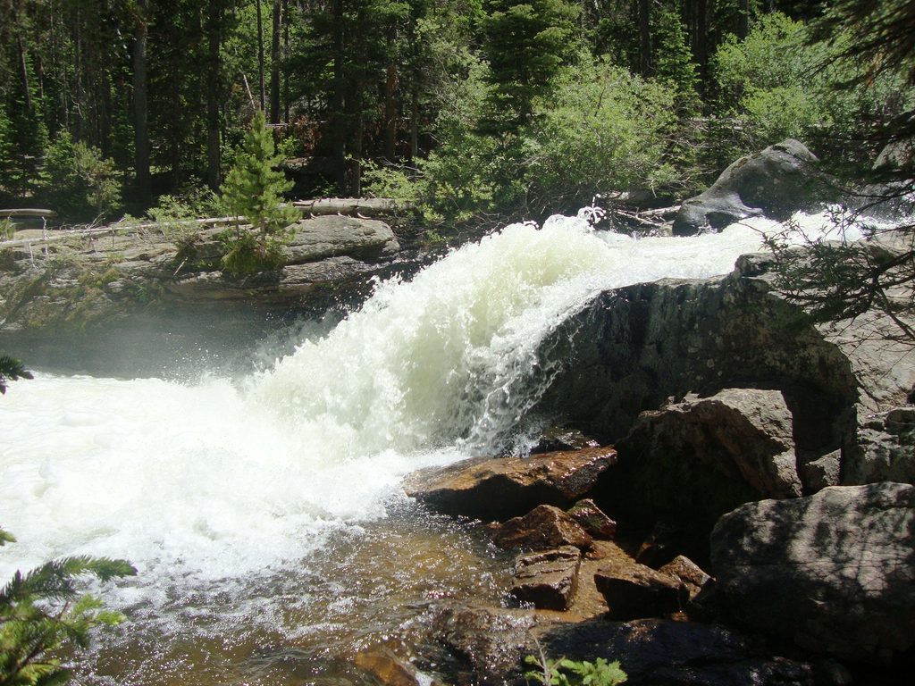
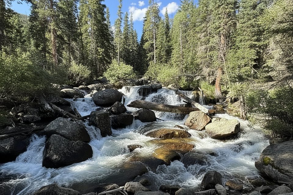
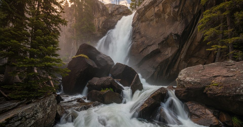
Wild Basin is the quieter, waterfall- and lake-rich corner on RMNP’s east side. The "Wild Basin Trail" is really a choose-your-own-adventure corridor: you can keep it short for a string of waterfalls or push deep into alpine basins. The most popular sampler runs to Ouzel Falls and back at about 5.4 miles total, with roughly 980 feet of gain. Expect creekside walking, shady forest, and constant water sound.
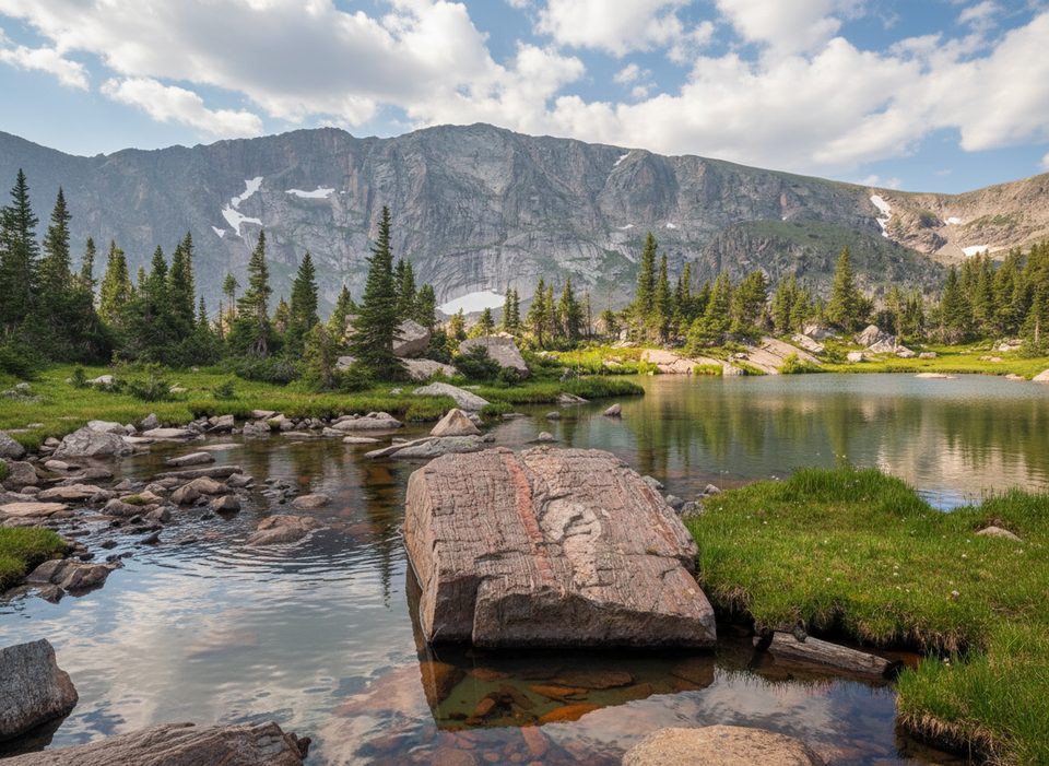
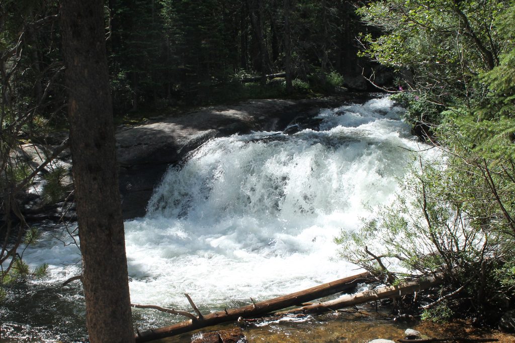
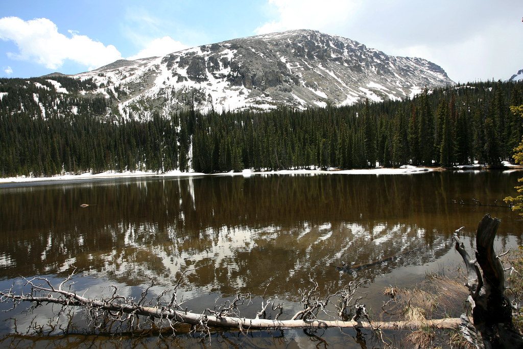
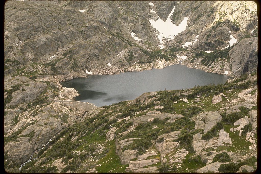
Right out of the gate you’ll hit Copeland Falls, then Calypso Cascades, before the finale at Ouzel Falls. In early summer, wildflowers line the route—including the purple calypso orchids that give Calypso Cascades its name. Keep an eye out for moose in the meadows and willows; give them a wide berth. If you’ve got extra gas, continuing past the falls leads to Ouzel Lake (quieter, good for fishing) or farther into big alpine cirques like Bluebird or Thunder Lake.
Start with the waterfalls and decide if you want to press on—same trailhead, escalating payoff.
Late spring through early summer lights up the cascades with snowmelt, and wildflowers peak in early to mid-summer. Fall brings crisp air and thinner crowds. Start at dawn for easier parking and cooler temps; the waterfall corridor sees steady traffic by mid-morning. Photography is best with soft morning or late-day light to tame the contrast around the falls.
In peak season, this area uses timed-entry reservations during a mid-day window; plan ahead or arrive outside the window. Parking at the end of Wild Basin Road is limited and the access road can be potholed—drive slow and get there early. Cell service is unreliable, so download an offline map before you go. There’s a ranger station and restroom at the trailhead.
In winter the road is often gated about a mile before the main trailhead—budget roughly 2 extra miles round trip. Lower-elevation waterfall hikes may be fine with traction devices early, but higher targets can involve complex snow and avalanche terrain. Expect mornings to be firm and icy, with slush and postholing later in the day. Bring microspikes (and snowshoes if recent storms suggest unconsolidated snow), start early, and turn around if conditions deteriorate.
Yes—this is one of the park’s best easy-to-moderate payoffs: three distinct waterfalls without committing to a huge climb, with the option to level up to lakes from the same trail. If you want a different vibe, Sandbeach Lake offers a longer, steady climb to a sandy shoreline from a nearby trailhead in the same basin.
Park at the end of Wild Basin Road by the ranger station (restroom available). Arrive early—limited spaces fill quickly. In winter the road is usually gated about a mile before the main trailhead; park at the gate/Finch Lake area and add ~2 miles round trip.
Timed-entry is required in peak season during a mid-day window. Expect poor cell service—download maps. In winter/shoulder seasons, traction may be necessary and higher routes can involve avalanche terrain. Moose frequent the area—give them plenty of space.
Place · 0 mi away
Place · 0.1 mi away
Place · 0.1 mi away
Place · 0.1 mi away
Moderate · 0 mi away
Challenging · 0 mi away
Moderate · 0 mi away
Challenging · 0 mi away

Parkwolf Tour Guide
