Parking
Follow Bear Lake Road to the signed Bierstadt Lake Trailhead. The small parking area is at the trailhead, which also has a park shuttle stop.

Rocky Mountain National Park, CO
Steady moraine switchbacks end at a lake beneath the Continental Divide.
Overview
Map & elevation
Plan your hike

The highest, rockiest slopes around here are a summer buffet for grizzly bears.
Rocky Mountain Tour Guide
Parkwolf is a GPS audio tour guide for Rocky Mountain National Park. As you drive, it chimes in with what’s ahead: hidden gems, upcoming stops, history, geology, and wildlife, right through your car’s speakers.
See the Rocky Mountain audio tourRecorded for this trailhead
Bierstadt Lake: The Climb and the Far Shore“Bierstadt Lake Trailhead is ahead, the start of a steep climb to a forest-fringed lake with mountains beyond. Allow two to three hours for roughly three miles out and back, with extra walking if you circle the shore.”
Plays as you drive up to this trailhead in the Parkwolf Rocky Mountain Tour Guide.
More stories near here in the app
“…No cell service for majority of the day but had continuous access to the app - the maps, the tour guide as you drive is amazing. Highly recommend purchasing the subscription.”


Trail guide
Bierstadt Lake Trail is a 2.8-mile out-and-back from Bear Lake Road to Bierstadt Lake, climbing the Bierstadt Moraine on switchbacks. The listed trailhead-to-lake leg is 1.4 miles; a short signed connector continues from the upper junction to the shore. Allow two to three hours for the return walk. If you circle the lake as well, plan for about 0.5 to 0.8 mile more, depending on how much of the lakeshore path you take.
The climb gains about 566 feet from a trailhead already near 8,850 feet. It keeps working uphill through lodgepole pines and aspen, then opens to views toward the Continental Divide, including Longs Peak. The steady switchbacks are the main effort; give yourself time to catch your breath at this altitude. Aspens add color to the slopes in fall.
The lake sits in a thick pine forest, with sedges around the water. The short shore circuit is optional, but it earns its extra steps: the view is better from the far side, where the water opens toward Longs Peak, Chiefs Head, McHenrys, Powell, Taylor, Otis, Hallett and Flattop. If you're short on time, walk to the lake and back; if the mountains are clear, keep going around the shore.
Bierstadt Lake is named for western landscape painter Albert Bierstadt (1830–1902). In 1876 the Earl of Dunraven brought him to the area and commissioned a landscape of Estes Park and Longs Peak. The moraine on the way up is glacial debris—rock, gravel and soil left behind as ice moved through the valley.
Start at the Bierstadt Lake Trailhead on Bear Lake Road. Its parking area is small, and a park shuttle stops there. Dogs are not allowed on park trails, including this one. The climb is short enough for a half-day, but the high starting elevation and sustained uphill make it feel harder than the mileage alone suggests.
Wildlife
 3,124 sightingsElkMost seen around 6 PMSighting map
 1,601 sightingsMooseMost seen around 7 PMSighting map
 19 sightingsMountain GoatMost seen around 7 AMSighting map
 19 sightingsBald EagleMost seen around 8 AMSighting map
 30 sightingsGolden EagleMost seen around 10 AMSighting map
 270 sightingsBighorn SheepMost seen around 11 AMSighting map
Sighting maps show where each species has been reported across Rocky Mountain. Wildlife moves, so no sighting is guaranteed.
Keep exploring
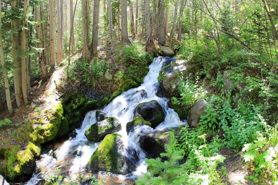 ChallengingBoulder Brook Loop8.6 mi · 5 hr · 0.2 mi awayClimb beside cascades, then loop back past Alberta Falls.
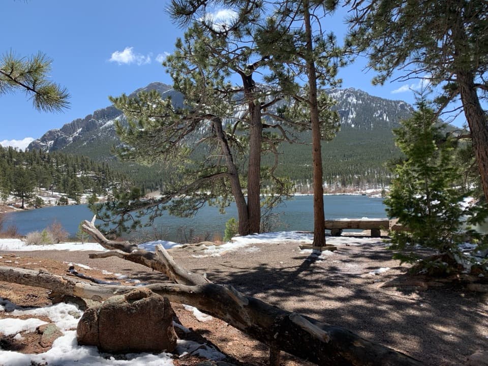 ChallengingStorm Pass Trail7.3 mi · 5.5 hr · 0.2 mi awayCross a high pass and finish beside Lily Lake.
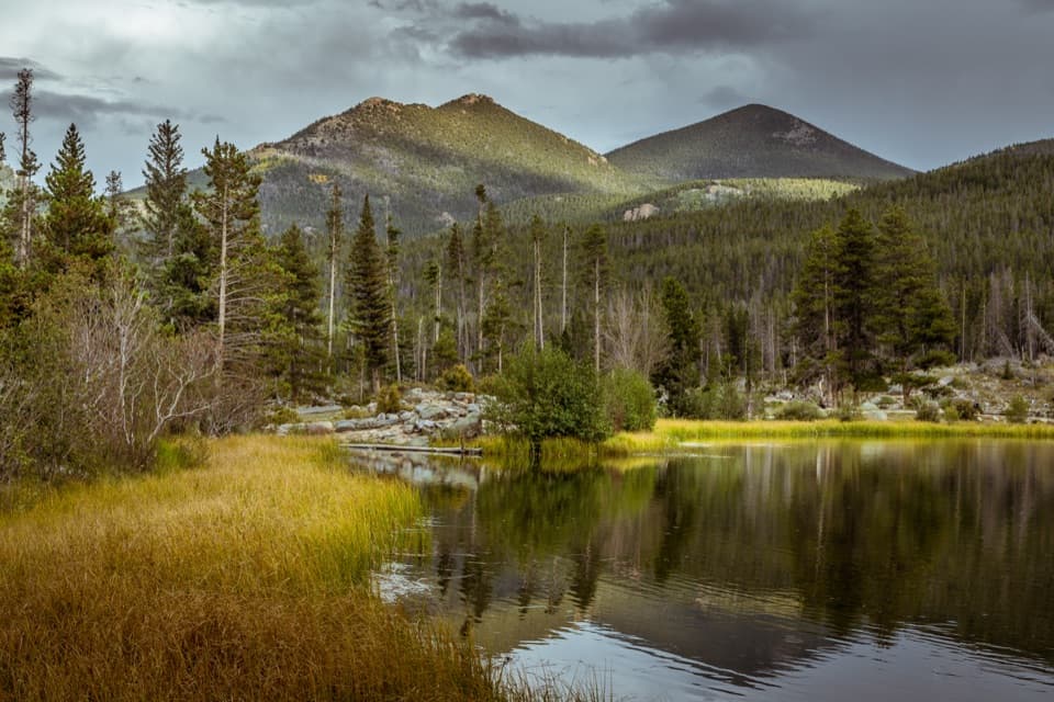 EasySprague Lake Nature Trail0.8 mi · 30 min · 0.9 mi awayA nearly level loop with lake and Continental Divide views.
 ChallengingSky Pond Trail9 mi · 7 hr · 1.1 mi awayClimb past two lakes to a high basin under granite spires.
 EasyAlberta Falls Trail1.7 mi · 1.5 hr · 1.1 mi awayA short climb trades a little effort for a close waterfall view.
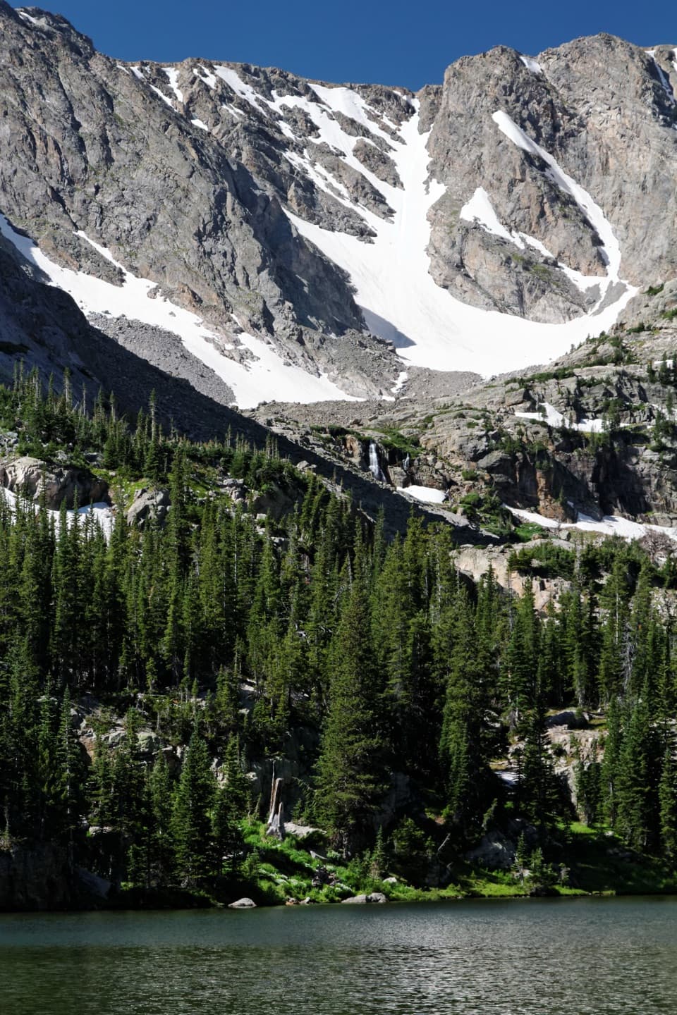 ModerateThe Loch Trail6 mi · 3.5 hr · 1.1 mi awayA waterfall break before a high lake beneath Taylor Glacier.
 ChallengingBlack Lake Trail9.6 mi · 7 hr · 1.1 mi awayWaterfalls, two lakes, then a high cirque beneath McHenrys Peak.
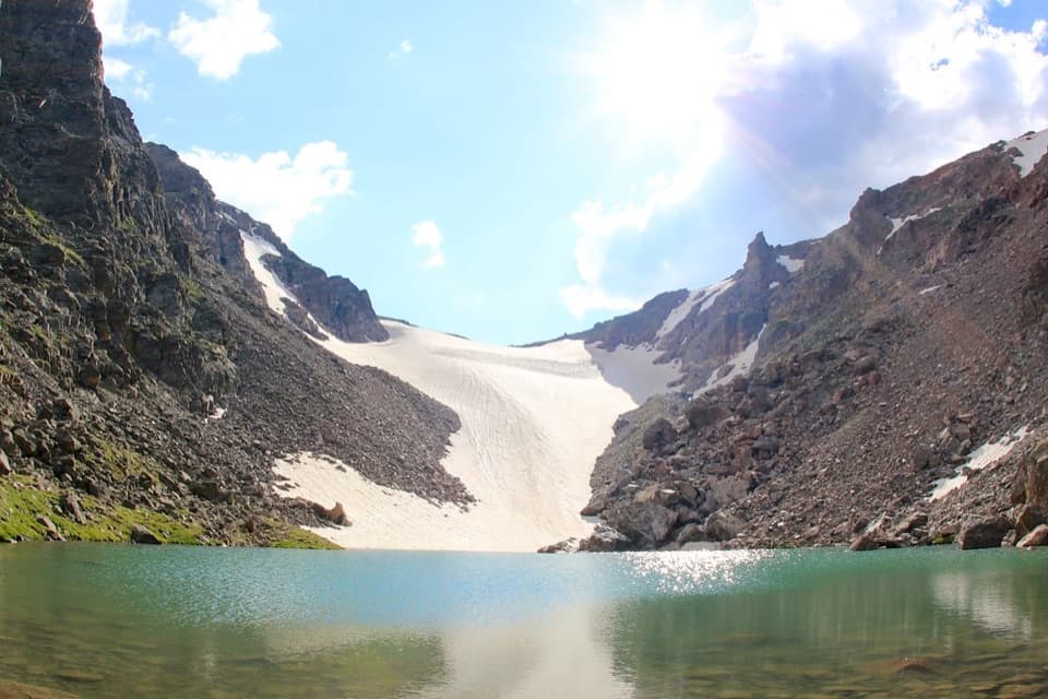 ChallengingAndrews Tarn Trail9.1 mi · 7 hr · 1.1 mi awayA rough high-country climb ends at a tarn beneath Andrews Glacier.Sight · 0.4 mi awayBierstadt LakeMountain reflections reward the steep walk in.
 Sight · 0.8 mi awaySprague LakeA gentle lake loop for Divide views and possible moose sightings.
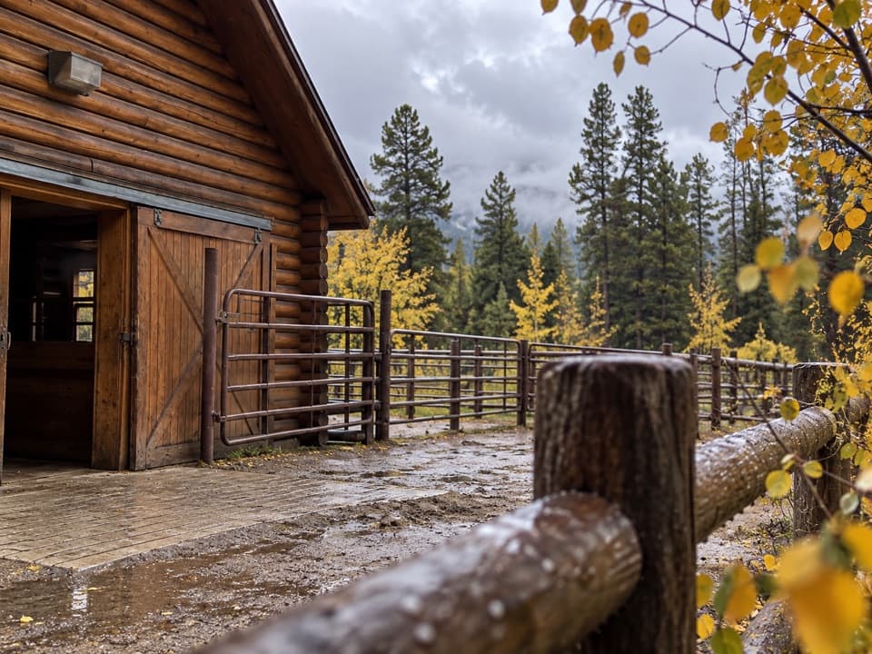 Sight · 1.1 mi awayGlacier Creek StablesThe park's lone stable pairs guided rides with mountain scenery.
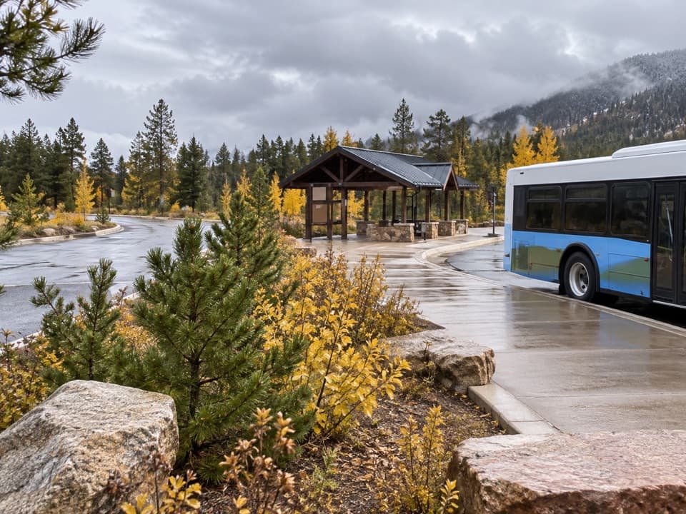 Sight · 1.4 mi awayPark & Ride Transit HubPark once for free shuttles to Bear Lake Road stops.
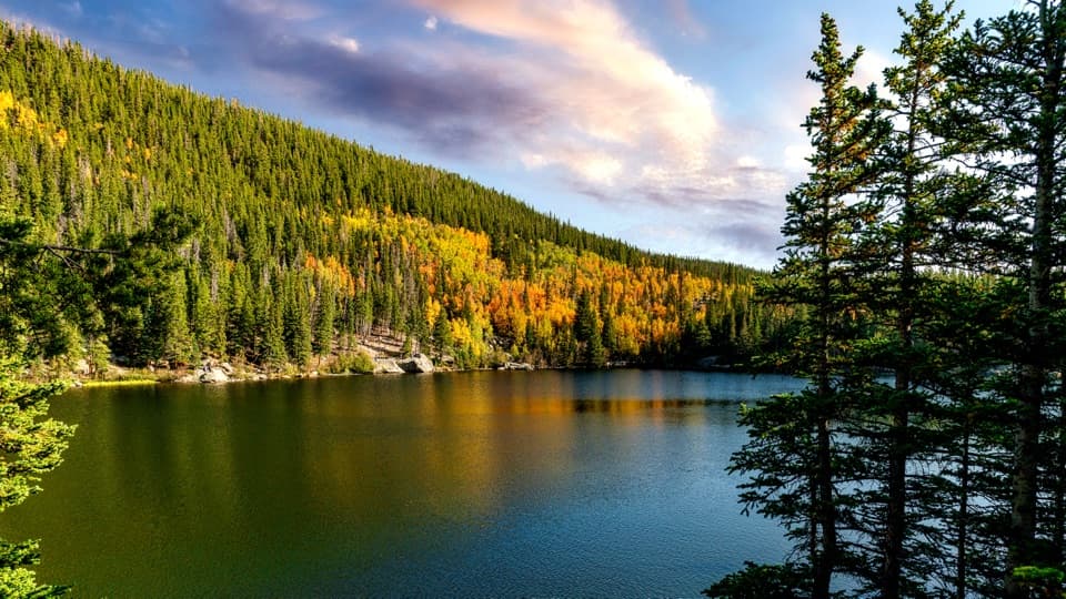 Sight · 1.4 mi awayBear LakeA classic alpine lake, with Hallett Peak just beyond the shore.Sight · 1.4 mi awayAlberta FallsA short, uphill hike ends at a thunderous waterfall.
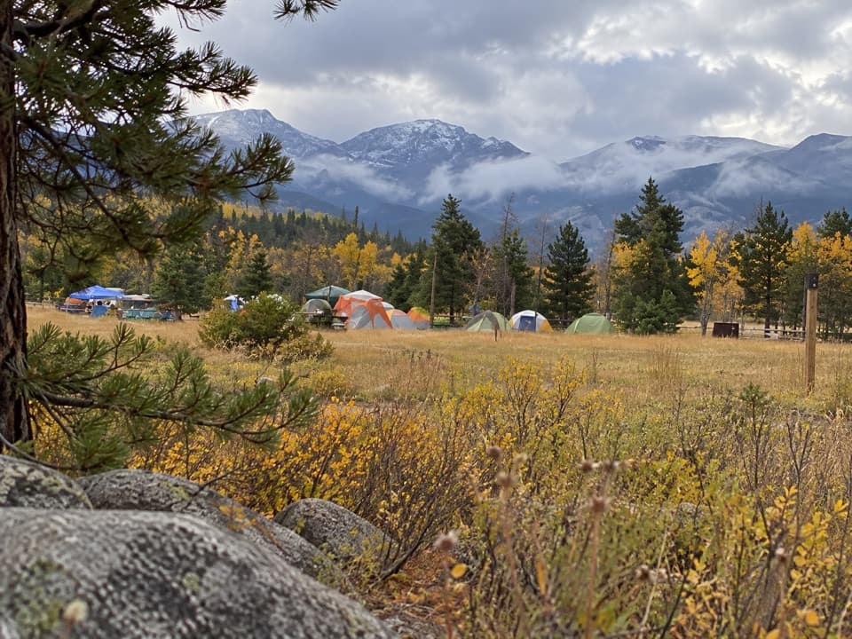 Campground · 1.6 mi awayGlacier Basin CampgroundA handy base for Bear Lake corridor starts.
 Sight · 1.6 mi awayNymph LakeA short uphill walk to summer lily pads and mountain views.
Parkwolf’s Rocky Mountain ranking

The audio tour guide for the drive, plus offline maps, trails, and wildlife heatmaps for when the signal drops.



