Sprague Lake Nature Trail in Rocky Mountain National Park

Rocky Mountain National Park, CO

Sprague Lake Nature Trail

A nearly level loop with lake and Continental Divide views.

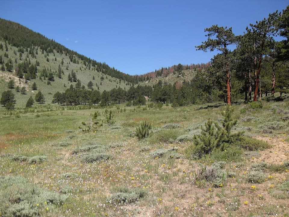
Photo: Wikimedia Commons
Length
0.8mi
Time
30min
Elevation
Flat
Difficulty
Easy
  • Loop
  • No dogs
  • High point 8,714 ft
  • #15 of 136 in Rocky Mountain

Hear the audio tour

Sprague Lake: An Easy Shoreline Stop

Overview

About Sprague Lake Nature Trail

Why go

  • Level packed-gravel tread with accessible parking and restrooms
  • A broad Continental Divide view from the far shoreline

Heads up

  • The popular Bear Lake Road corridor can mean busy parking and shoreline

Map & elevation

The route

Loading the Rocky Mountain map
Full map
Elevation8,684–8,714 ft
TrailheadSprague Lake Parking Area40.32043, -105.60780
Keep this map with you offline in the Parkwolf app

Plan your hike

Before you go

Parking

Use the Sprague Lake parking area off Bear Lake Road; the signed trail access starts from the lot. Accessible spaces, picnic tables, and restrooms are beside the lot. Parking can be tight at busy times. The free Bear Lake Road shuttle operates seasonally in summer; verify the current stops before relying on it. From late May through mid-October, a Timed Entry+ Bear Lake Road reservation may be required during certain hours; check the current NPS dates and hours.

Safety

The trailhead is at 8,701 feet (2,652 m), so altitude can affect visitors who are not acclimated despite the nearly level route. Pets are prohibited on all Rocky Mountain National Park trails; individually trained service animals are allowed.

3 active Rocky Mountain alerts

  • ClosureOld Fall River Road closed to vehiclesOld Fall River Road is closed to motor vehicles for the season.Official details
  • ClosureSun Valley burn-area access remains closedThe area and trail west of Sun Valley Trail remain closed, including the route used for angler access to the Colorado River, because of impacts from the 2020 East Troublesome and Cameron Peak Fires;…Official details
See all 3 alerts
A park ranger sits on a dash-mounted phone, talking, as Parkwolf’s Tour Guide plays “Army Cutworm Moths: A Grizzly Bear Buffet” on Grand Loop Road below Dunraven Pass in Yellowstone
Parkwolf Tour GuideThe highest, rockiest slopes around here are a summer buffet for grizzly bears.

Rocky Mountain Tour Guide

Your drive to Sprague Lake Nature Trail, narrated.

Parkwolf is a GPS audio tour guide for Rocky Mountain National Park. As you drive, it chimes in with what’s ahead: hidden gems, upcoming stops, history, geology, and wildlife, right through your car’s speakers.

See the Rocky Mountain audio tour

Recorded for this trailhead

Sprague Lake: An Easy Shoreline Stop
0:00 / 0:28
“Sprague Lake is coming up, a good choice for mountain views on a nearly level walk. Allow about half an hour for the eight-tenths-of-a-mile route from the parking area and back.”

Plays as you drive up to this trailhead in the Parkwolf Rocky Mountain Tour Guide.

More stories near here in the app

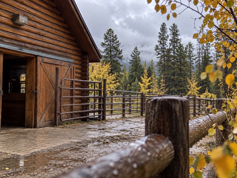
  • Glacier Creek Stables: Choose Your Ride
  • Storm Pass Trailhead: Boulder Brook Loop
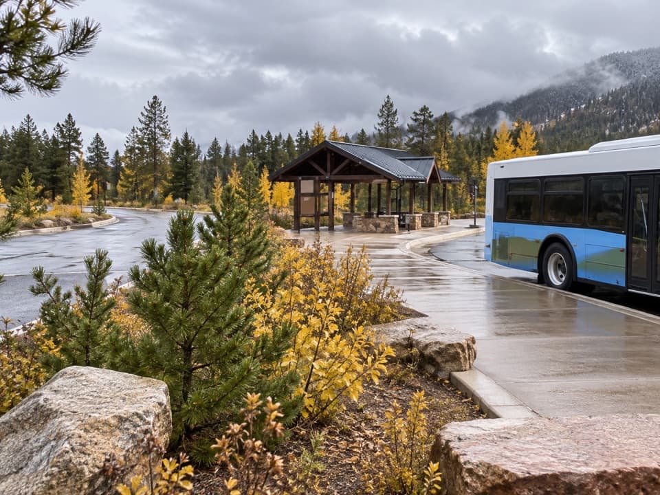
  • Bear Lake Road Park and Ride: Leave the Car Here
  • Bierstadt Lake: The Climb and the Far Shore
  • 79 audio storiesacross Rocky Mountain’s roads, triggered by GPS as you drive
  • Wildlife heatmapsfor Elk, Moose, Mountain Goat, and 13 more
  • Works offlinemaps, 136 trails, 88 places, and audio download before you lose signal
  • CarPlay readysimple controls built for the drive
★★★★★
“…No cell service for majority of the day but had continuous access to the app - the maps, the tour guide as you drive is amazing. Highly recommend purchasing the subscription.”
jkatnerApp Store review
Download Parkwolf on the App StoreGet Parkwolf on Google Play

4.7 from 8,600+ ratings

Trail guide

Hiking Sprague Lake Nature Trail

The full shoreline walkSprague Lake Nature Trail is an easy 0.

Sprague Lake Nature Trail is an easy 0.8-mile lollipop from the Sprague Lake parking area: a short gravel approach to the shore, a circuit around the lake, then the same access path back. One park description gives 0.7 miles for the shoreline loop alone; the full parking-to-parking route counts the shared spur and measures about 0.82 miles. Expect about 30 minutes, with extra time if you stop at the benches.

Where the view opensThe lake fills the center of the walk, with the Continental Divide opening across the water…

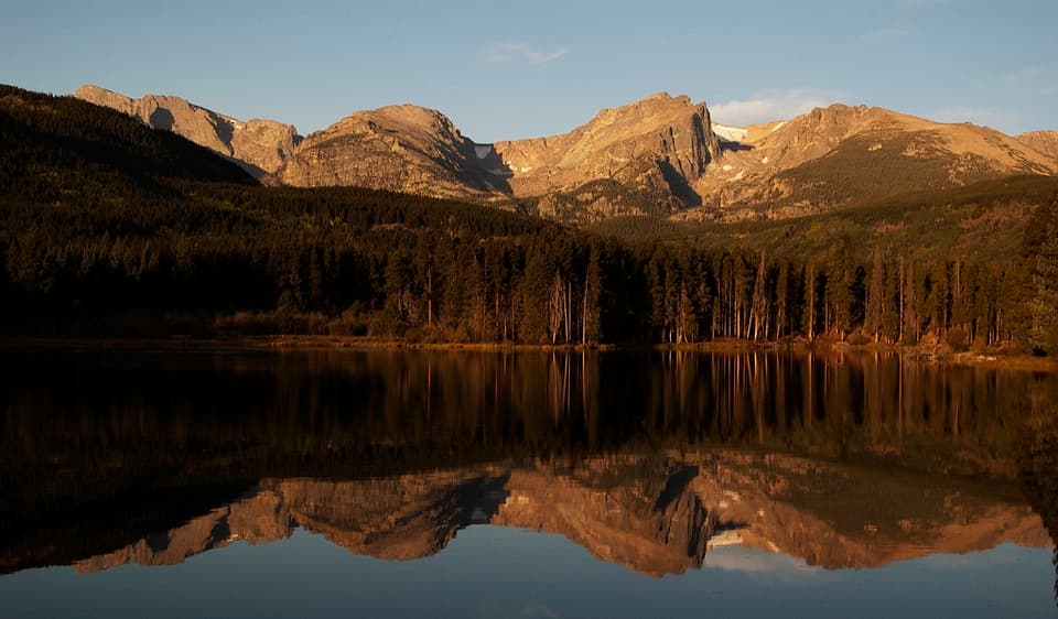
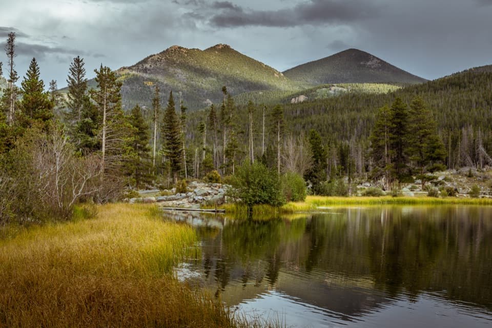
The lake fills the center of the walk, with the Continental Divide opening across the water from the east shoreline. The far side is the best place to pause for the mountain panorama; benches and lookout points are scattered along the path. On a calm morning, the water can reflect the peaks, though wind can erase the mirror quickly. Sprague Lake is also used for fishing, including ice fishing in winter.

Abner Sprague's lakeThe lake bears the name of homesteader Abner Sprague, who settled in Moraine Park in 1874.

The lake bears the name of homesteader Abner Sprague, who settled in Moraine Park in 1874. He dammed a stream to create a trout pond in the area, and in 1910 he and his wife built a guest lodge where the current parking area stands. The park's timeline records Sprague as the first visitor to pay an entrance fee, in 1939.

The path and facilitiesThe route stays nearly level on hard-packed gravel.

The route stays nearly level on hard-packed gravel. The National Park Service describes the loop as wheelchair and stroller accessible. Accessible parking is next to the trailhead, with picnic tables, benches, and restrooms nearby; the vault toilet is available year-round, and a flush restroom with water operates in summer. There is no food concession at the trailhead.

Access and altitudeThe trail is open year-round, but Bear Lake Road's seasonal Timed Entry+ rules can require a…

The trail is open year-round, but Bear Lake Road's seasonal Timed Entry+ rules can require a reservation during specified hours from late May into mid-October. The free park shuttle serves the corridor in summer; check current dates, stops, and reservation rules before going. Although the tread is easy, the trailhead sits at 8,701 feet, high enough to affect visitors who are not acclimated. Pets are prohibited on park trails; trained service animals are allowed.

Wildlife

Wildlife in Rocky Mountain

All Rocky Mountain wildlife maps

Sighting maps show where each species has been reported across Rocky Mountain. Wildlife moves, so no sighting is guaranteed.

Keep exploring

Near Sprague Lake Nature Trail

See it all on the map

Trails that start nearby

Places near the trailhead

Parkwolf’s Rocky Mountain ranking

Top-rated trails in Rocky Mountain

All 136 trails
  1. 1Emerald Lake TrailModerate · 3.4 mi
  2. 2Sky Pond TrailChallenging · 9 mi
  3. 3Chasm Lake TrailChallenging · 8.4 mi
  4. 4Bear Lake LoopEasy · 0.6 mi
  5. 5Dream Lake TrailModerate · 2.2 mi
  6. 6Alberta Falls TrailEasy · 1.7 mi

Take Parkwolf to Rocky Mountain.

The audio tour guide for the drive, plus offline maps, trails, and wildlife heatmaps for when the signal drops.

4.7 from 8,600+ ratings

Download Parkwolf on the App StoreGet Parkwolf on Google Play