Parking
Start at Glacier Gorge Parking Area and Trailhead on Bear Lake Road. The lot fills early; if it is full, use the Park & Ride and the Bear Lake shuttle when it is operating.

#11 of 136 trails in Rocky Mountain
Rocky Mountain National Park, CO
Waterfalls, two lakes, then a high cirque beneath McHenrys Peak.
Overview
Map & elevation
Plan your hike

The highest, rockiest slopes around here are a summer buffet for grizzly bears.
Rocky Mountain Tour Guide
Parkwolf is a GPS audio tour guide for Rocky Mountain National Park. As you drive, it chimes in with what’s ahead: hidden gems, upcoming stops, history, geology, and wildlife, right through your car’s speakers.
See the Rocky Mountain audio tourRecorded for this trailhead
Glacier Gorge and Alberta Falls“The Glacier Gorge trailhead is coming up, the starting point for Alberta Falls.”
Plays as you drive up to this trailhead in the Parkwolf Rocky Mountain Tour Guide.
More stories near here in the app
“…No cell service for majority of the day but had continuous access to the app - the maps, the tour guide as you drive is amazing. Highly recommend purchasing the subscription.”


Trail guide
Black Lake Trail is a 9.6-mile out-and-back from Glacier Gorge Trailhead to Black Lake, passing Alberta Falls, Mills Lake and Jewel Lake before Ribbon Falls and a high cirque beneath McHenrys Peak and Chiefs Head. Count 4.8 miles each way and about 1,400 feet of gain. Allow about seven hours with stops. The route earns the effort with scenery all along the way, but it is a strenuous, high-elevation hike; if you are short on time, Mills Lake is a strong shorter turnaround.
After crossing Chaos Creek, follow the left branch at the first junction; the right branch heads toward Bear Lake. Alberta Falls comes at about 0.8 mile. At 1.6 miles, turn right at North Longs Peak Trail. Roughly half a mile later, turn left at Mills Junction; straight continues toward The Loch and Sky Pond, while the right branch goes toward Lake Haiyaha. Follow the signed Black Lake route from there. These junctions are easy to mistake when several popular hikes share the same approach.
At about 2.6 miles, reach Mills Lake, tucked below Half Mountain. The rocky east shore is a good place to pause, with the Keyboard of the Winds, Pagoda Mountain, Chiefs Head Peak and Thatchtop in view. Mills Lake is named for Enos Mills, whose lectures, lobbying and thousands of letters and articles helped lead to the park’s creation in 1915. The trail skirts the lake’s eastern side to Jewel Lake at about 3.1 miles, where the mountain backdrop grows more imposing. Wooden bridges carry the path across marshy ground between and above the lakes; it is possible moose habitat, so scan the wet meadows without counting on a sighting.
Past Jewel Lake, the trail climbs steadily through subalpine forest. At roughly 3.5 miles, pass the side trail toward Glacier Gorge Campground and stay on the main route. The walk changes from lake shore and bridges to a quieter, narrower valley. Alberta Falls and the small Glacier Falls side path are earlier waterfall stops, but save some time for the larger cascade higher up.
A meadow opens toward Ribbon Falls at about 4.6 miles. Climb beside the falls, then pick through rough rock and boulders for the final approach to Black Lake, around 4.8 miles from the trailhead. The lake fills a glacier-carved cirque below McHenrys Peak and Chiefs Head Peak. From the north shore, The Arrowhead rises off to the right, McHenrys stands ahead, and The Spearhead and Chiefs Head sit above the headwall. Keep a strip of water in the frame to show how the rock walls tower over the lake, and stay on the established shore.
The 9.6-mile figure counts the full return walk from Glacier Gorge Trailhead. A separate 5.0-mile one-way figure begins at Glacier Gorge Junction, while trailhead directions put Black Lake about 4.8 miles each way. The longer 11.7-mile route continues past Black Lake toward Frozen Lake; that is not this hike. Glacier Gorge parking is off Bear Lake Road and fills early. If the lot is full, use the Park & Ride and the Bear Lake shuttle when it is operating. During the seasonal timed-entry period, entering Bear Lake Road requires the Bear Lake Road reservation during designated hours; check the current entry rules before you go. Pets are prohibited on park trails.
Wildlife
 3,124 sightingsElkMost seen around 6 PMSighting map
 1,601 sightingsMooseMost seen around 7 PMSighting map
 19 sightingsMountain GoatMost seen around 7 AMSighting map
 19 sightingsBald EagleMost seen around 8 AMSighting map
 30 sightingsGolden EagleMost seen around 10 AMSighting map
 270 sightingsBighorn SheepMost seen around 11 AMSighting map
Sighting maps show where each species has been reported across Rocky Mountain. Wildlife moves, so no sighting is guaranteed.
Keep exploring
 ChallengingSky Pond Trail9 mi · 7 hr · At the trailheadClimb past two lakes to a high basin under granite spires.
 EasyAlberta Falls Trail1.7 mi · 1.5 hr · At the trailheadA short climb trades a little effort for a close waterfall view.
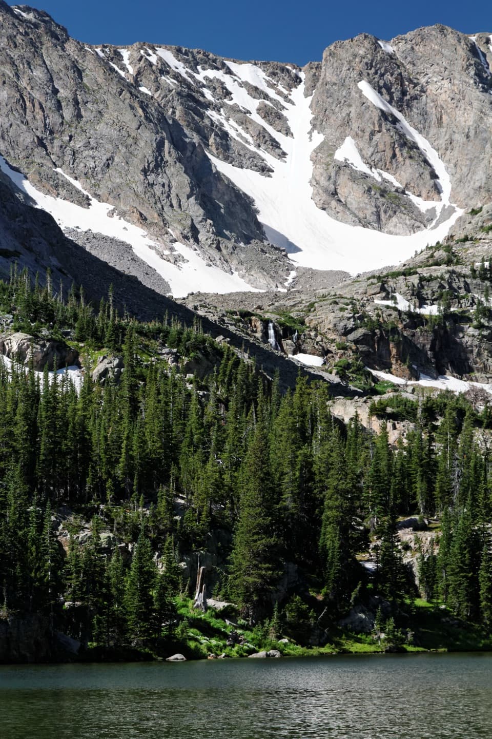 ModerateThe Loch Trail6 mi · 3.5 hr · At the trailheadA waterfall break before a high lake beneath Taylor Glacier.
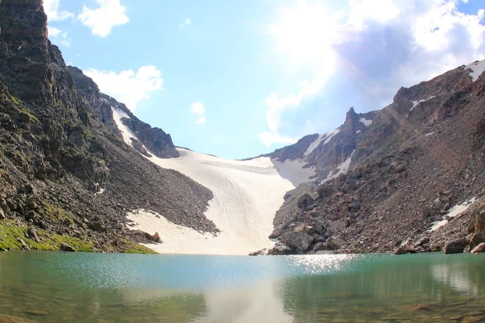 ChallengingAndrews Tarn Trail9.1 mi · 7 hr · At the trailheadA rough high-country climb ends at a tarn beneath Andrews Glacier.
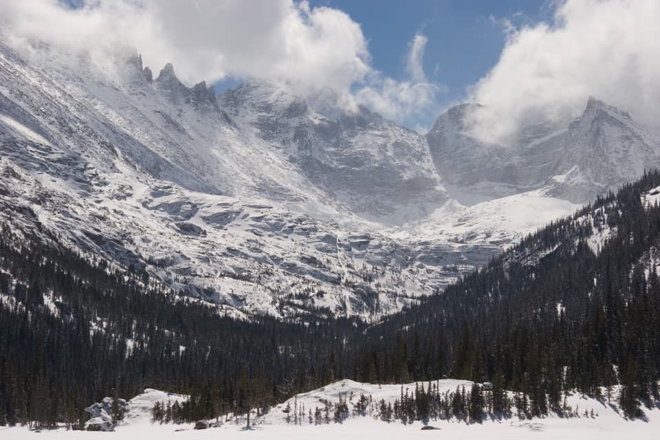 ModerateMills Lake Trail5.4 mi · 3.5 hr · At the trailheadAlberta Falls breaks up the climb to Mills Lake.
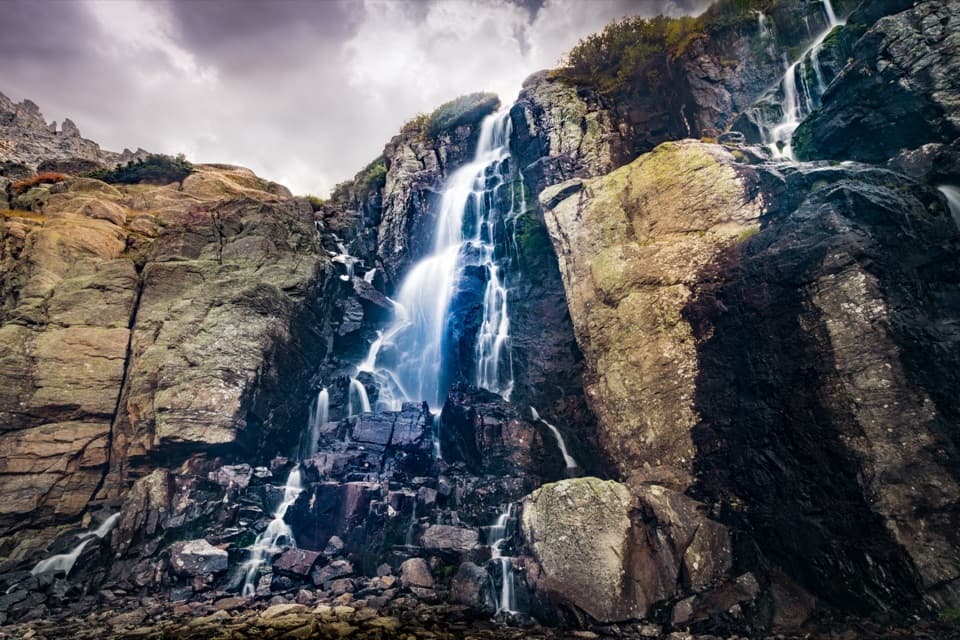 ChallengingTimberline Falls Trail7.6 mi · 6 hr · At the trailheadA long waterfall hike with The Loch along the way.
 ChallengingNorth Longs Peak Trail to Granite Pass13.6 mi · 11 hr · At the trailheadA long, rocky climb to the broad saddle below Longs Peak.
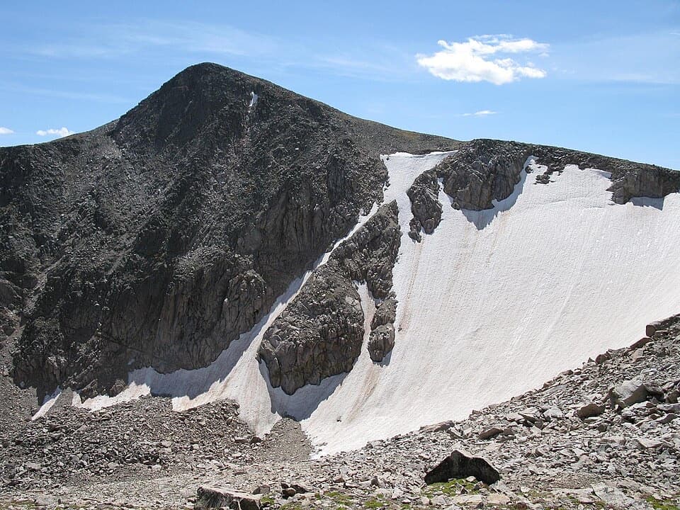 ChallengingHallett Peak Trail10.3 mi · 7.5 hr · 0.3 mi awayA long summit day with a faint, rocky Class 2 finish.
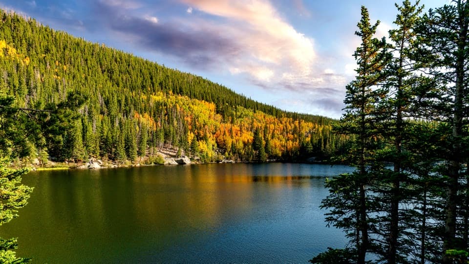 Sight · 0.5 mi awayBear LakeA classic alpine lake, with Hallett Peak just beyond the shore.Sight · 0.5 mi awayAlberta FallsA short, uphill hike ends at a thunderous waterfall.
 Sight · 0.6 mi awayNymph LakeA short uphill walk to summer lily pads and mountain views.
 Sight · 1 mi awayDream LakeA mile from Bear Lake, Hallett Peak fills the skyline.
 Sight · 1.2 mi awayLake HaiyahaA mountain lake tinted green by a 2022 rockslide.
 Sight · 1.4 mi awayBierstadt LakeMountain reflections reward the steep walk in.
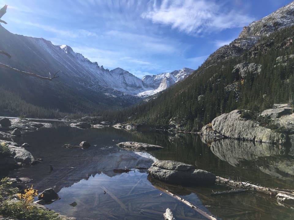 Sight · 1.4 mi awayMills LakeA ten-acre glacier-carved lake beneath the peaks of Glacier Gorge.
 Sight · 1.5 mi awayEmerald LakeThree lakes in, the trail ends beneath steep mountain walls.
Parkwolf’s Rocky Mountain ranking

The audio tour guide for the drive, plus offline maps, trails, and wildlife heatmaps for when the signal drops.



