Challenging

Chasm Lake Trail

A burly climb to Longs Peak’s jaw dropping alpine cirque
Chasm Lake Trail, Rocky Mountain National Park
Distance8.3 mi
Typical time5 hr
DifficultyChallenging
PetsNot allowed

Overview

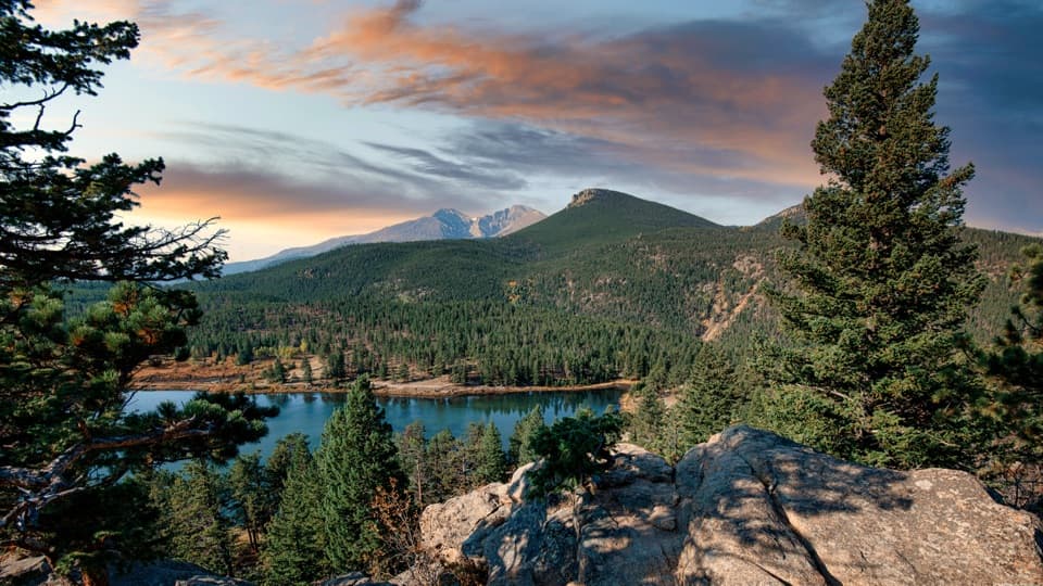
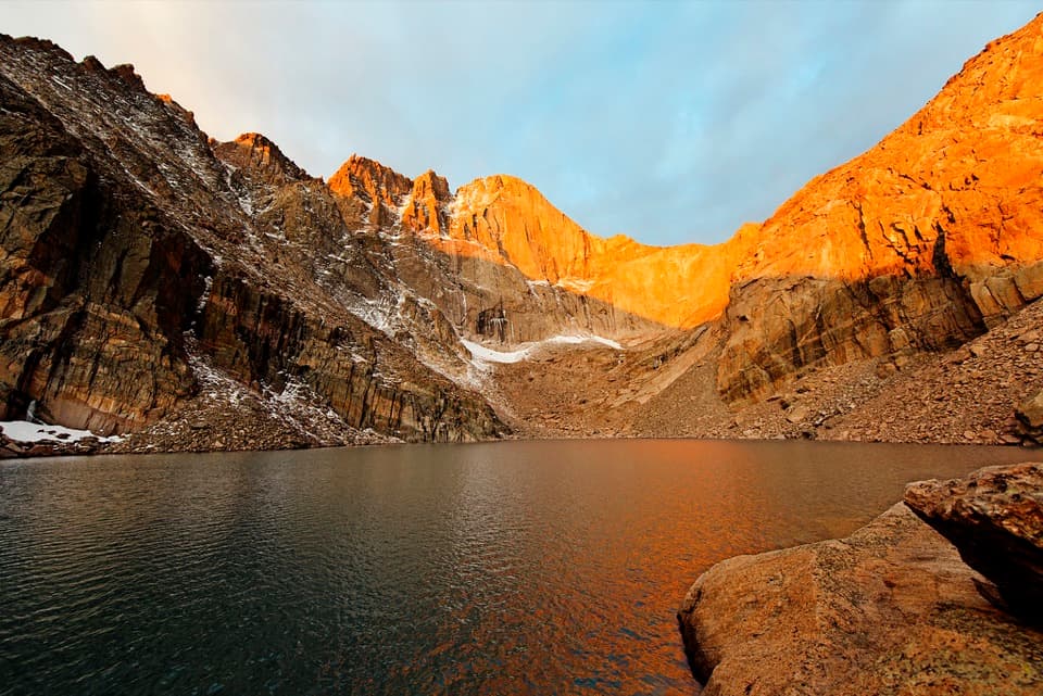
Chasm Lake is a classic high-alpine out-and-back to a glacial cirque tucked directly beneath the sheer east face of Longs Peak (the Diamond). Expect about 8.3 miles round trip with roughly 2,400–2,700 feet of climbing. It’s strenuous—steady grade, thin air, and a short boulder scramble to actually reach the lakeshore—but the payoff is massive: roaring waterfalls, a deep gorge, and that unbeatable amphitheater of rock at 11,800 feet.

Route Preview

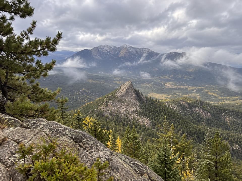
Start from the Longs Peak Trailhead (9,400 ft) and climb through cool subalpine forest before breaking above treeline onto open tundra with expanding views of Longs Peak, Mount Meeker, and Mount Lady Washington. Around 3.3–3.4 miles you’ll reach Chasm Junction, where there’s a privy; turn left toward Chasm Lake. The trail then traverses a ledge-like path above a dramatic gorge with views of Peacock Pool and Columbine Falls. Near the end, follow cairns and use hands for a brief, unavoidable scramble over boulders and talus to pop into the cirque at the lake.

Trail Feel and Scenery

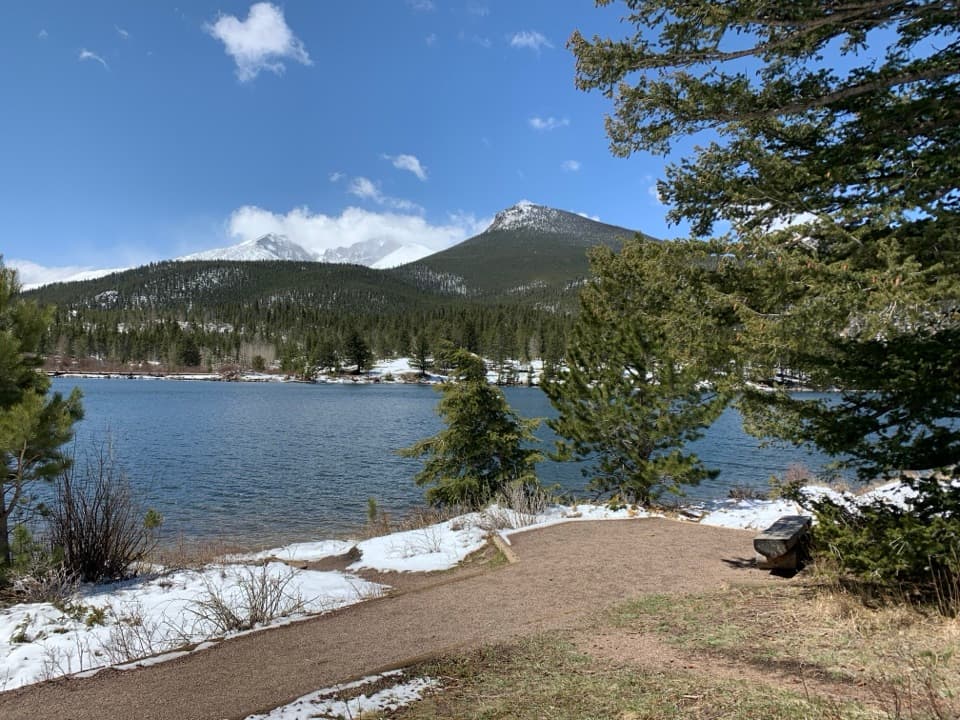
The tread is generally solid but rocky, with stone steps in places and rougher footing above treeline. Once on the tundra, you’re exposed to sun, wind, and weather—bring layers. Keep an eye out for hardy alpine locals like American pikas and yellow-bellied marmots. The lake sits in a spectacular bowl, often with wind ripples and lingering early-season snowfields that add drama to photos of the Diamond.

Best Time to Hike

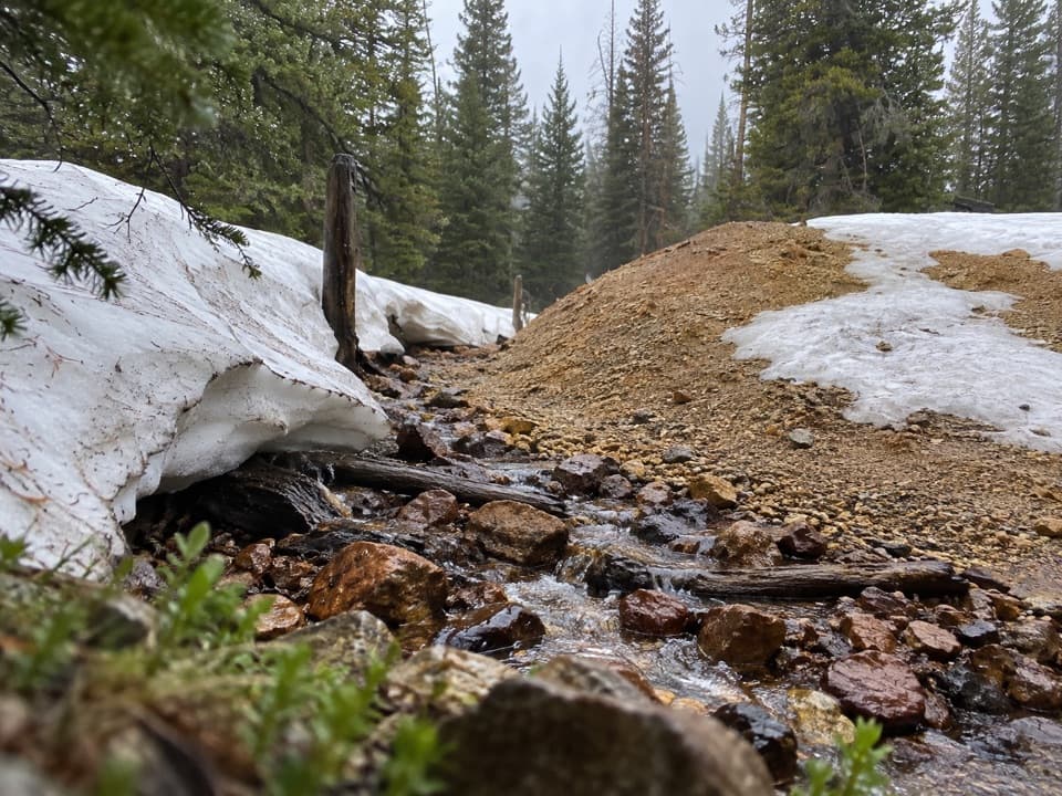
Aim for summer into early fall (June–September/October). Snow can linger into early summer, and traction like microspikes may be needed until it melts out. Summer afternoons frequently produce thunderstorms and lightning; start at or before sunrise and be ready to turn around if storms build—being off exposed terrain by midday is the smart play. Morning light is excellent on the Diamond, and earlier starts mean cooler temps, steadier winds, and fewer people on the traverse.

Logistics and Permits

The Longs Peak parking lot fills very early—often between 2–5 a.m. in peak season because it serves Longs Peak climbers. Arrive pre-dawn or have a backup plan; roadside overflow is common where allowed. A seasonal Timed Entry Permit (the option that excludes Bear Lake Road) may be required; check dates before you go. There’s a privy at Chasm Junction. Cell service is unreliable—download maps for offline use.

Safety and Prep

You’ll be moving between roughly 9,400 and 11,800 feet. Altitude can hit hard—hydrate, eat, pace yourself, and descend if you develop symptoms like headache or nausea. Sturdy footwear is essential; trekking poles help on the long climb and descent. Pack layers, a waterproof shell, sun protection, and 2–3+ liters of water. In early/late season, expect lingering snowfields; winter travel here is a mountaineering objective, not a casual day hike. If you’re coming from low elevation, give yourself a day or two to acclimate—shorter warm-up hikes help. Dogs aren’t allowed on park trails.

Bottom Line

This is one of the park’s most rewarding alpine lake hikes: challenging, undeniably scenic, and memorable right up to the last boulder hop. If weather, altitude, or time force a turnaround, you’ll still enjoy big views well before the final scramble.

Pros

  • Privy mid-route at Chasm Junction makes logistics easier above treeline
  • Unique traverse above a deep gorge with views of Columbine Falls and Peacock Pool

Cons

  • Parking lot fills before dawn due to Longs Peak climbers
  • Unavoidable boulder scramble is required to reach the lakeshore

Parking

Park at the Longs Peak Trailhead off CO 7. The small lot fills extremely early (often 2–5 a.m. in summer); arrive pre-dawn or expect signed roadside overflow.

Caution

High, exposed terrain with frequent summer thunderstorms and lightning; altitude effects above 10,000 ft are common. Early season snowfields may require traction, and the final approach includes a short, unavoidable boulder scramble. Cell service is unreliable.

The Parkwolf tour guide sitting on a phone mounted in a car

Parkwolf Tour Guide

Like a tour guide in your car.

Bring Rocky Mountain trail research into the car, with offline maps and stories that play as you drive.Download Parkwolf on the App Store