Parking
Start at Storm Pass Trailhead and finish at Lily Lake Trailhead. Use a second vehicle or arrange a pickup for this 7.3-mile one-way route.
Rocky Mountain National Park, CO
Cross a high pass and finish beside Lily Lake.
Overview
Map & elevation
Plan your hike

The highest, rockiest slopes around here are a summer buffet for grizzly bears.
Rocky Mountain Tour Guide
Parkwolf is a GPS audio tour guide for Rocky Mountain National Park. As you drive, it chimes in with what’s ahead: hidden gems, upcoming stops, history, geology, and wildlife, right through your car’s speakers.
See the Rocky Mountain audio tourRecorded for this trailhead
Storm Pass Trailhead: Boulder Brook Loop“You're approaching Storm Pass Trailhead, the start of Boulder Brook Loop, a substantial hike beside cascades and over footbridges.”
Plays as you drive up to this trailhead in the Parkwolf Rocky Mountain Tour Guide.
More stories near here in the app
“…No cell service for majority of the day but had continuous access to the app - the maps, the tour guide as you drive is amazing. Highly recommend purchasing the subscription.”


Trail guide
Storm Pass Trail is a 7.3-mile point-to-point hike from Storm Pass Trailhead to Lily Lake Trailhead. It climbs from the forest to Storm Pass, where the view opens toward Longs Peak, then descends to the lake. Allow about five to six hours for the high elevation, a hard trail and roughly 1,600 feet of cumulative climbing; the route tops out just above 10,000 feet.
This is a through-hike, not a loop. Leave a vehicle at each trailhead or arrange a pickup at Lily Lake before you start. The start and finish are several miles apart. Rocky Mountain National Park prohibits pets on its trails. Picnic tables are available at the Lily Lake end.
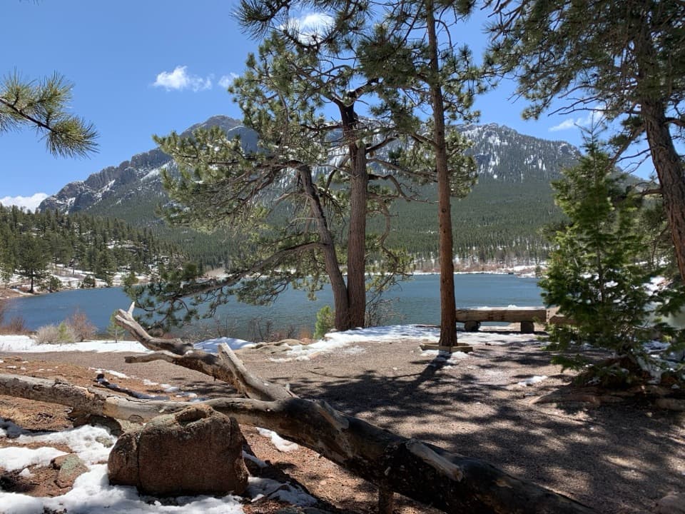
The western start follows wooded connector paths near Glacier Creek, then climbs toward the saddle. Streams and dispersed campsites punctuate the forested approach. Pause at Storm Pass for the southwest view toward Longs Peak; after the pass, descend through the woods toward Lily Lake. At the finish, a shoreline bench frames Twin Sisters Ridge across the water. Snow or ice can linger on the high section into summer, so check conditions before setting out.
Wildlife
 3,124 sightingsElkMost seen around 6 PMSighting map
 1,601 sightingsMooseMost seen around 7 PMSighting map
 19 sightingsMountain GoatMost seen around 7 AMSighting map
 19 sightingsBald EagleMost seen around 8 AMSighting map
 30 sightingsGolden EagleMost seen around 10 AMSighting map
 270 sightingsBighorn SheepMost seen around 11 AMSighting map
Sighting maps show where each species has been reported across Rocky Mountain. Wildlife moves, so no sighting is guaranteed.
Keep exploring
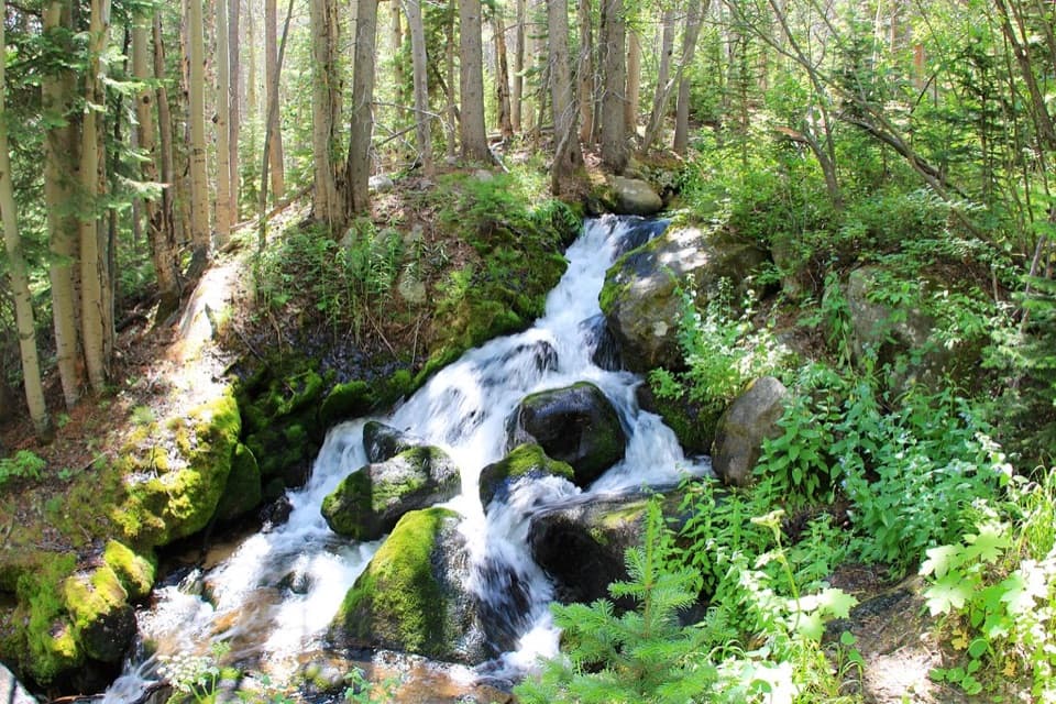 ChallengingBoulder Brook Loop8.6 mi · 5 hr · At the trailheadClimb beside cascades, then loop back past Alberta Falls.
 ModerateBierstadt Lake Trail2.8 mi · 2.5 hr · 0.2 mi awaySteady moraine switchbacks end at a lake beneath the Continental Divide.
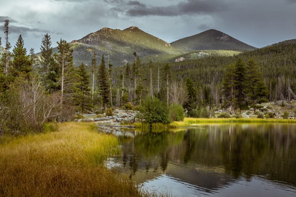 EasySprague Lake Nature Trail0.8 mi · 30 min · 0.6 mi awayA nearly level loop with lake and Continental Divide views.
 ChallengingSky Pond Trail9 mi · 7 hr · 1.3 mi awayClimb past two lakes to a high basin under granite spires.
 EasyAlberta Falls Trail1.7 mi · 1.5 hr · 1.3 mi awayA short climb trades a little effort for a close waterfall view.
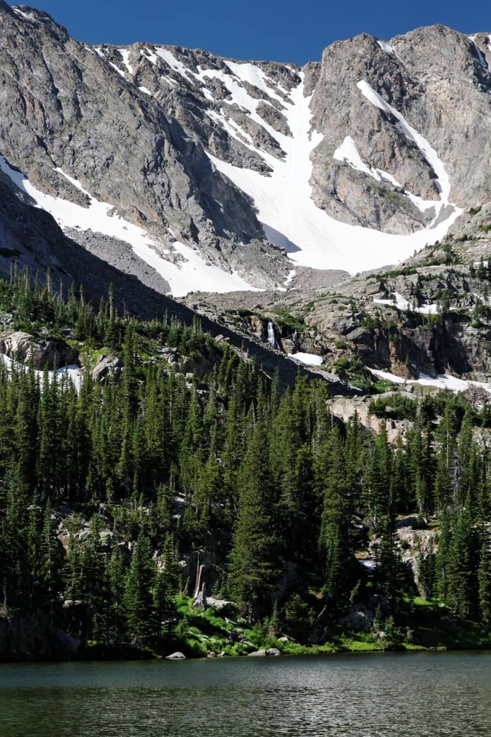 ModerateThe Loch Trail6 mi · 3.5 hr · 1.3 mi awayA waterfall break before a high lake beneath Taylor Glacier.
 ChallengingBlack Lake Trail9.6 mi · 7 hr · 1.3 mi awayWaterfalls, two lakes, then a high cirque beneath McHenrys Peak.
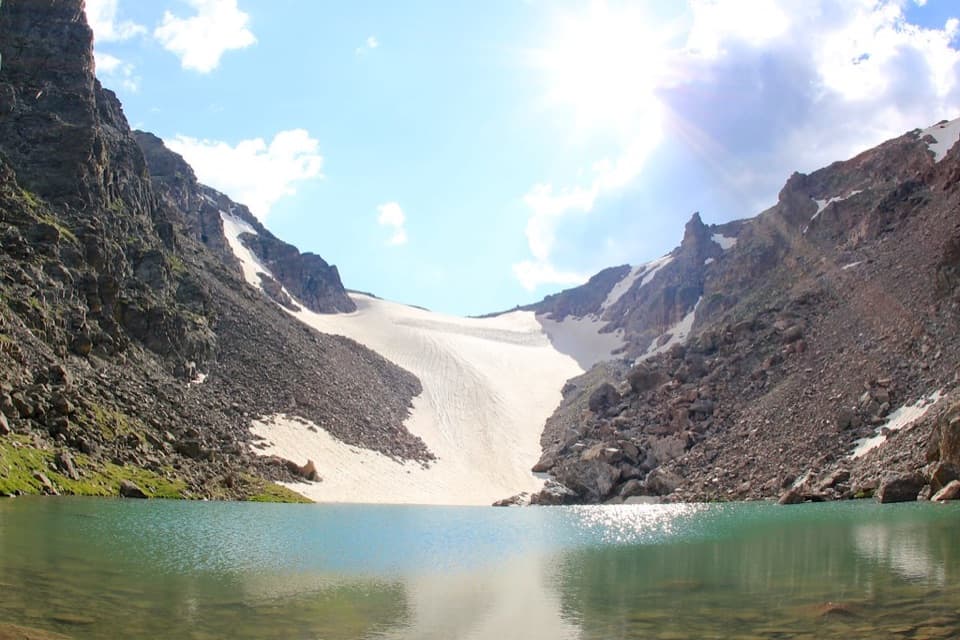 ChallengingAndrews Tarn Trail9.1 mi · 7 hr · 1.3 mi awayA rough high-country climb ends at a tarn beneath Andrews Glacier.Sight · 0.5 mi awayBierstadt LakeMountain reflections reward the steep walk in.
 Sight · 0.6 mi awaySprague LakeA gentle lake loop for Divide views and possible moose sightings.
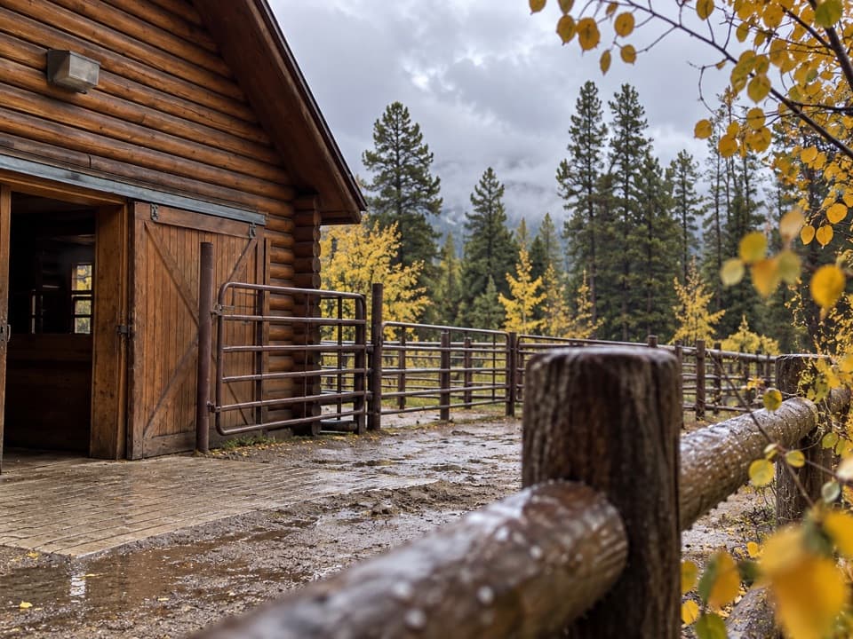 Sight · 0.9 mi awayGlacier Creek StablesThe park's lone stable pairs guided rides with mountain scenery.
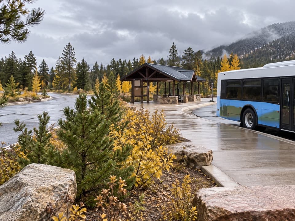 Sight · 1.2 mi awayPark & Ride Transit HubPark once for free shuttles to Bear Lake Road stops.
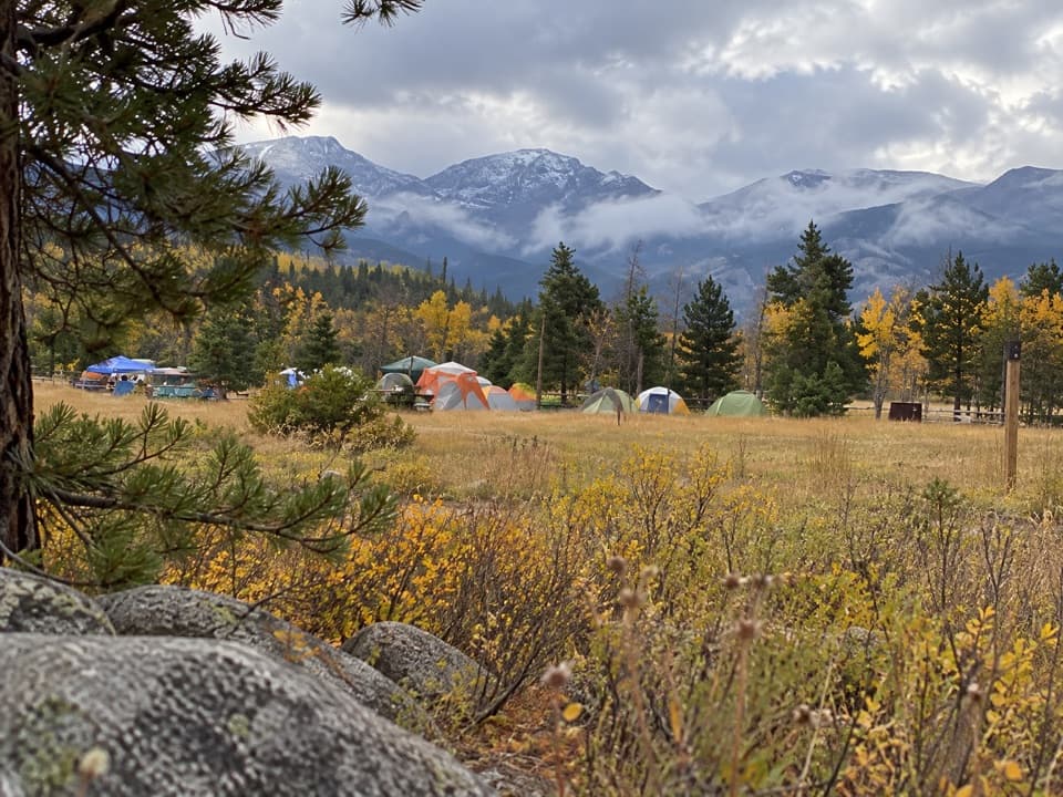 Campground · 1.4 mi awayGlacier Basin CampgroundA handy base for Bear Lake corridor starts.Sight · 1.5 mi awayAlberta FallsA short, uphill hike ends at a thunderous waterfall.
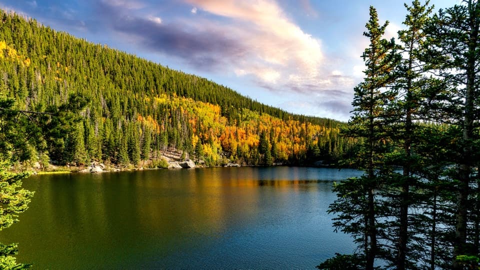 Sight · 1.6 mi awayBear LakeA classic alpine lake, with Hallett Peak just beyond the shore.
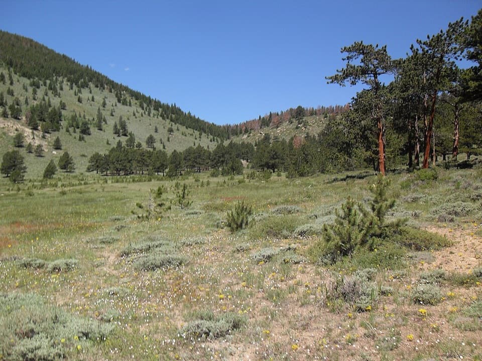 Picnic area · 1.7 mi awayHollowell ParkA meadow picnic with Longs Peak across the basin.
Parkwolf’s Rocky Mountain ranking

The audio tour guide for the drive, plus offline maps, trails, and wildlife heatmaps for when the signal drops.