
Place · 0 mi away
Challenging
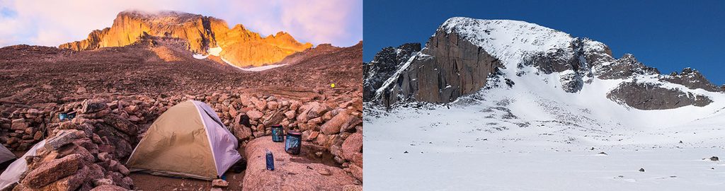
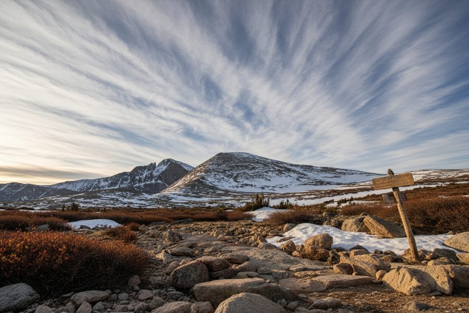
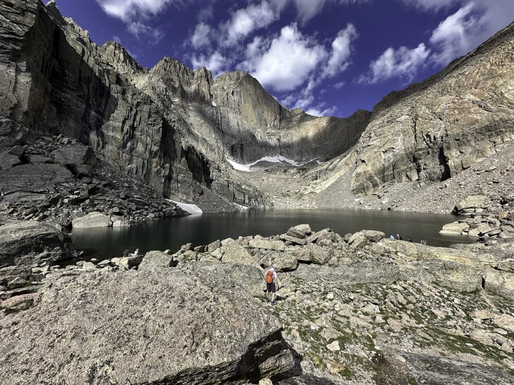
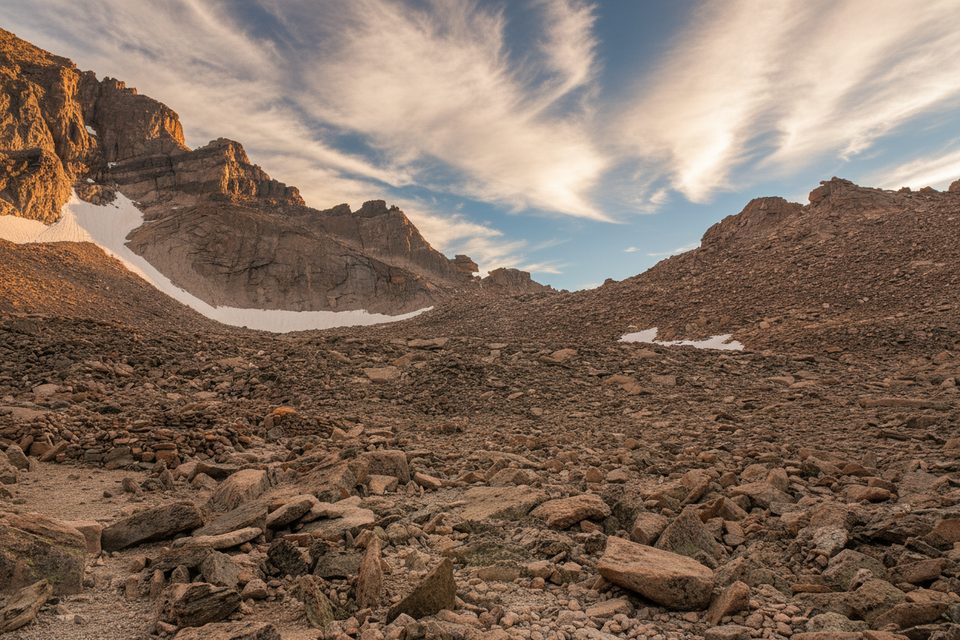
This is the classic approach to the Boulder Field beneath Longs Peak’s Keyhole—an austere, high-alpine playground of refrigerator‑size blocks at roughly 12,700 feet. Expect a steady, non-technical hike from forest to tundra, then boulder hopping into the Field itself. It’s jaw‑dropping and often brutally windy. Most hikers use the Boulder Field as a turnaround or a permitted camping destination; continuing beyond the Keyhole involves exposed, Class 3 mountaineering.
Plan for about 12 miles round trip to the Boulder Field with roughly 3,360 feet of elevation gain. The final half mile from the campsites toward the Keyhole is slow going over large blocks. Many parties report 5–8 hours to reach the Boulder Field one way—altitude, wind, and talus all add time. Set a conservative turnaround.
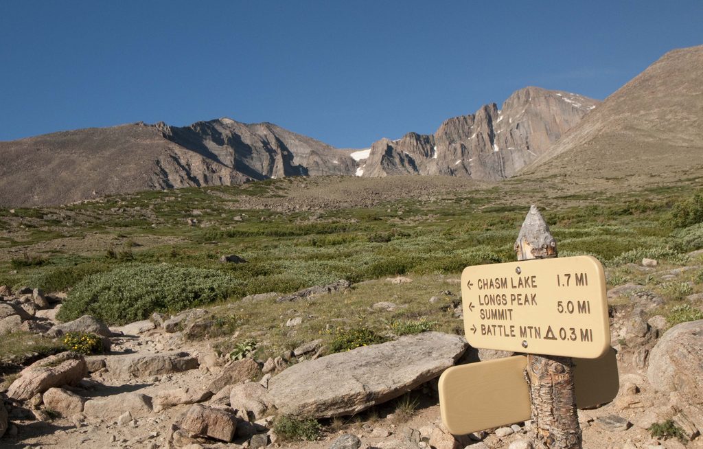
From the Longs Peak Trailhead you’ll climb steadily through forest to treeline, crest Granite Pass, and traverse open tundra before the trail dissolves into a cairned route across talus. Footing is generally secure but uneven; near the Keyhole you’ll weave among massive blocks. On fair-weather weekends the area is lively with day hikers, backpackers, and Longs Peak hopefuls—expect company and big gusts funneling through the Keyhole.
The Boulder Field is a periglacial blockfield, created by relentless freeze–thaw that shattered bedrock and fed talus downslope. Pleistocene glaciations carved the surrounding valleys; today you’re walking across the leftovers—ancient metamorphic rocks intruded by granite and then sculpted by ice and weather.
There are 9 designated high-alpine sites ringed with rocks for wind protection, plus a backcountry privy. A seasonal melt stream may run through the Field; always treat water and don’t count on it late season. Campfires are prohibited; use a stove. A backcountry permit is required to camp, and a bear‑resistant canister is required in season. Pets are not allowed on this trail.
July–September offers the most snow‑free passage, but even midsummer can be cold and howling. Start very early to secure parking, beat afternoon thunderstorms, and ride the morning stability. Shoulder seasons can glaze the rocks—carry traction if temps dip. If winds are ripping at the Keyhole or ice appears, savor the Boulder Field and turn back.
If you’re after big alpine scenery, a legit workout, and a taste of the Longs Peak environment without committing to Class 3 exposure, this is your move. If you dislike endless talus, strong winds, or very early starts, it will feel like a slog. A calmer alternative for similar views and fewer crowds is to aim for the Boulder Field at sunrise with an overnight permit—harder logistics, far better experience.
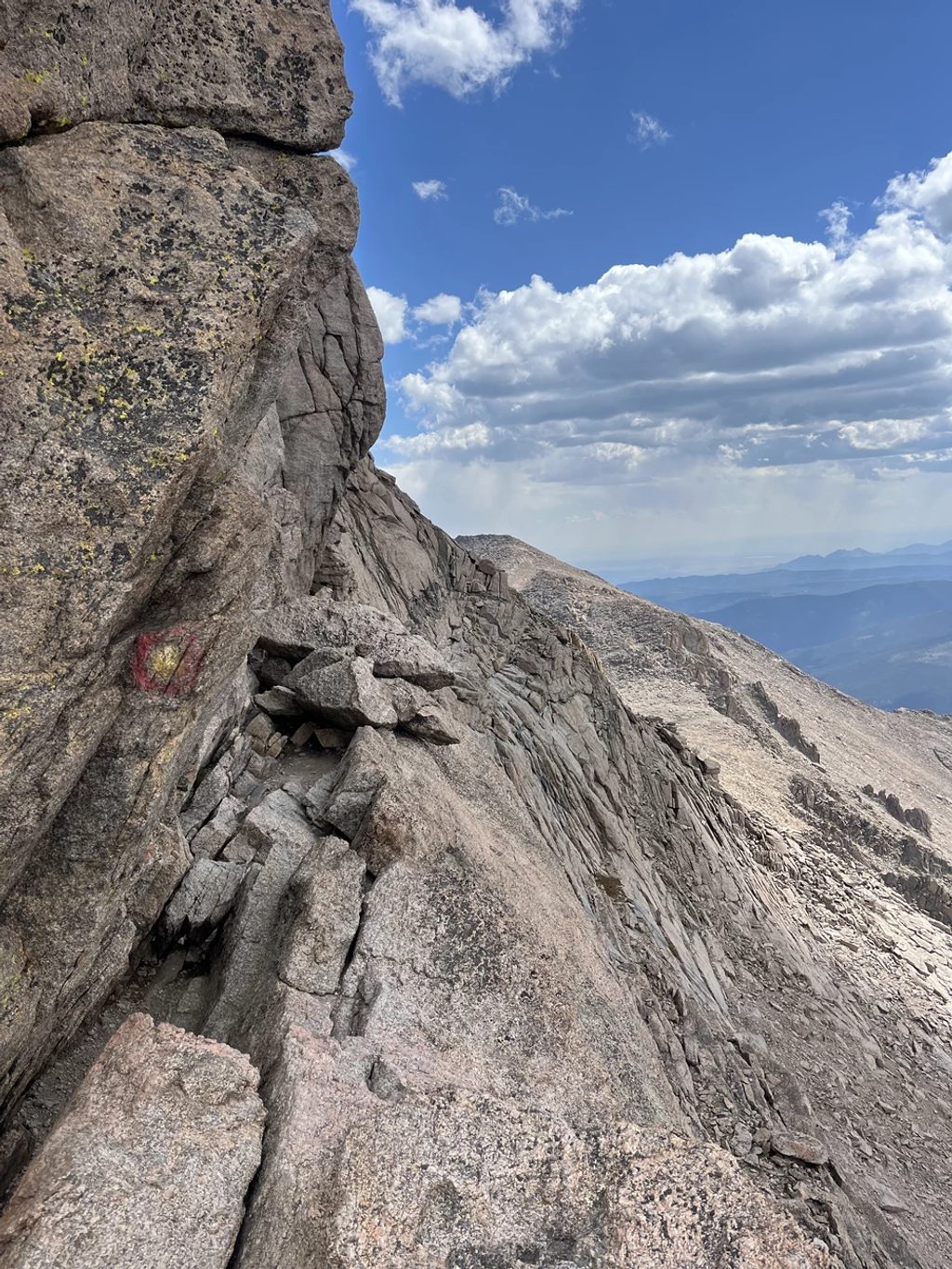
The Boulder Field and Keyhole are notoriously windy; gusts of 40–60+ mph are common. Lightning is a real threat above treeline. Beyond the Keyhole the route becomes exposed Class 3—don’t continue without the skills, gear, and conditions to match. Use the privy, pack out all trash, and step carefully on the talus to avoid rock movement.
Park at the Longs Peak Trailhead off CO Hwy 7 (Longs Peak Road). The lot often fills before 3 am on fair-weather weekends—arrive very early.
High winds and lightning above treeline; icy rocks common in shoulder seasons; altitude ~12,700 ft. Do not proceed beyond the Keyhole without Class 3 experience. Camping requires a permit; bear canister required in season; no fires. Pets are not allowed.
Place · 0 mi away
Place · 0.2 mi away
Place · 1.6 mi away
Place · 1.7 mi away
Challenging · 0 mi away
Challenging · 0 mi away
Challenging · 0 mi away
Challenging · 0 mi away

Parkwolf Tour Guide
