
Place · 0 mi away
Challenging
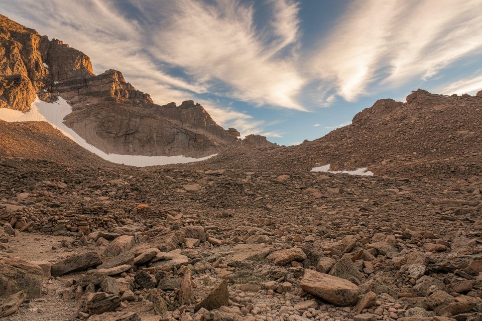
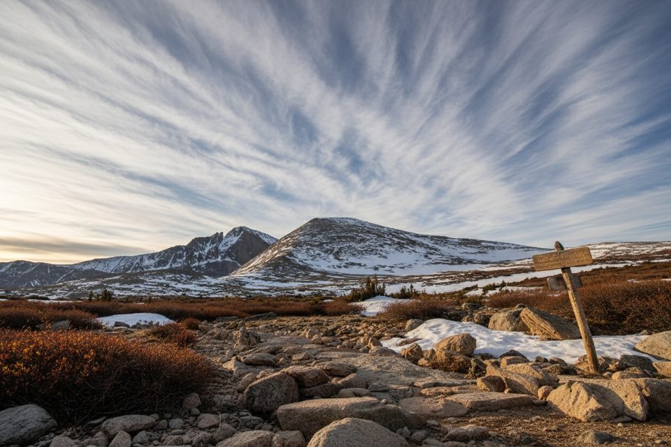
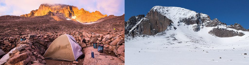
This is the classic approach to Longs Peak’s high alpine staging area: the Boulderfield. It’s 6.0 miles one way from the Longs Peak Trailhead to 12,760 feet, with about 3,360 feet of gain. Expect 5–8 hours to reach the Boulderfield depending on fitness and conditions. As an out-and-back to the Boulderfield, plan for roughly 12 miles total and a long day at altitude. The payoff is a wild, wind-battered basin of talus with huge views of Longs’ North Face, the Keyhole, Mount Lady Washington, and Storm Peak.
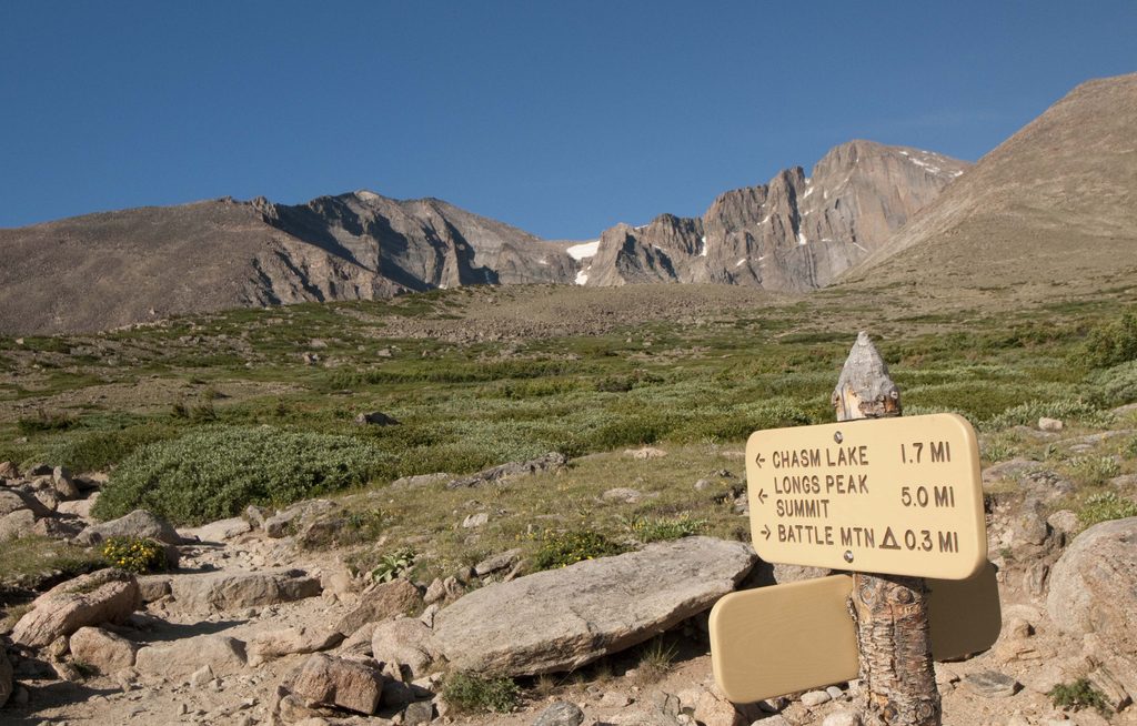
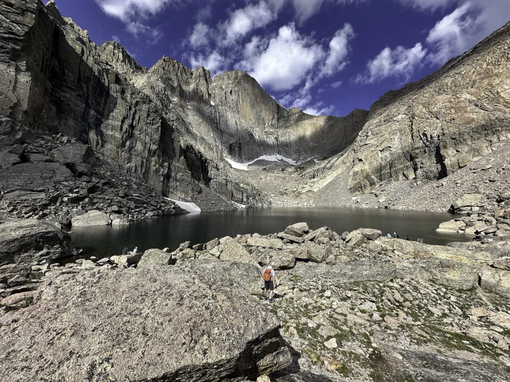
You’ll climb steadily from forest into subalpine, crossing treeline near 11,000 feet. The path traverses Mills Moraine, passes the signed junction for Chasm Lake, and climbs toward Granite Pass before trending into the “sea of rocks.” Near the upper basin the maintained tread fades, and you’ll pick your way on boulders and follow cairns to reach the designated camping area and the base of the Keyhole. Even if you’re not summiting, this is a rewarding turnaround point—raw, expansive, and very much alpine.
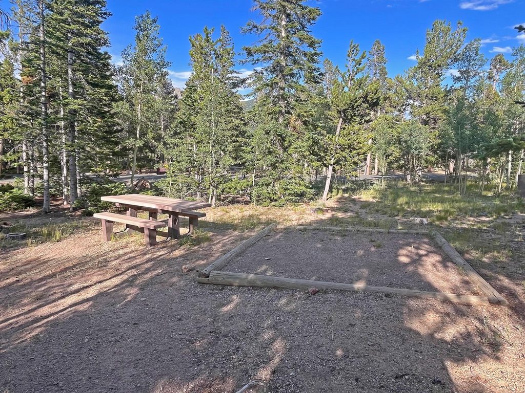
There are nine designated tent sites ringed by rocks in the Boulderfield plus a privy. Water is available from Boulder Brook as it threads under and among boulders—treat or boil it. Campfires are prohibited, and a bear-resistant canister is required from April 1 to October 31. Dogs are not allowed on this route.
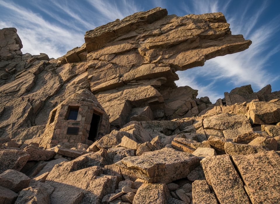
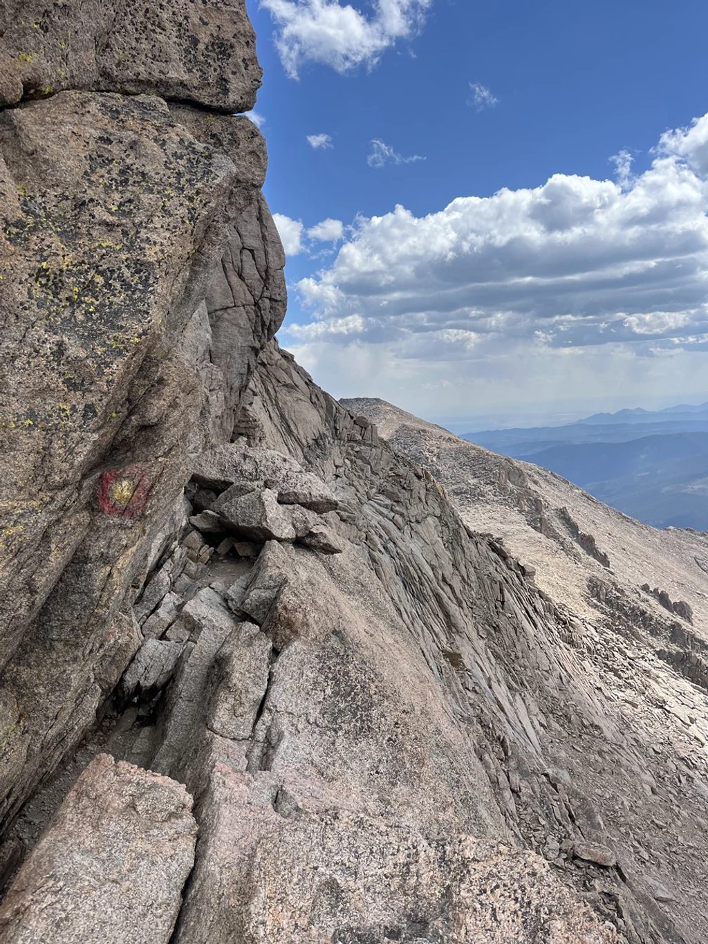
The “trail” effectively ends here. To the Keyhole and beyond, it becomes route-finding over loose blocks and then exposed Class 3 scrambling (the Ledges, Trough, Narrows, and Homestretch). Helmets are commonly used above the Keyhole due to rockfall. Only continue if conditions, skills, and gear match the terrain; otherwise, the Boulderfield is a smart and satisfying high point for the day. A short detour to Chasm View from the Boulderfield area offers a dramatic look at the Diamond without committing to the full summit push.
Start very early. Alpine starts (often 2–4 a.m. for summit attempts; pre-dawn is still wise for Boulderfield day hikes) help you beat crowds, wind, and especially thunderstorms. Aim to be headed back below treeline by late morning to dodge typical summer lightning. The most reliable window for dry rock is mid-summer; outside that, expect lingering snow or ice that can turn the upper route into mountaineering territory. Wind and cold are common here any month.
This is a strenuous, high-altitude hike with extended time above treeline and some cairned rock-hopping in the basin. Strong legs, steady pacing, and altitude awareness are essential. Acclimatizing for 24–48 hours around 9,000–12,000 feet beforehand helps many people. If you want a big alpine day without committing to Longs’ technical summit terrain, stopping at the Boulderfield is the move.
Park at Longs Peak Trailhead via Hwy 7 and Longs Peak Road (ranger station at the TH). From Beaver Meadows Visitor Center: east on Hwy 36 ~1 mi, right on Mary’s Lake Rd ~2.4 mi to Hwy 7, right ~5.6 mi to Longs Peak Rd, right ~1 mi to the trailhead. Standard RMNP regulations apply.
High exposure to lightning and wind above treeline; start pre-dawn and plan to be below treeline before midday storms. Altitude sickness is common—acclimatize. The route becomes cairned rock-hopping in the Boulderfield; beyond the Keyhole is exposed Class 3 with rockfall. Treat all water; no fires; bear canister required in season; no dogs.
Place · 0 mi away
Place · 0.2 mi away
Place · 1.6 mi away
Place · 1.7 mi away
Challenging · 0 mi away
Challenging · 0 mi away
Challenging · 0 mi away
Challenging · 0 mi away

Parkwolf Tour Guide
