
Place · 0 mi away
Challenging
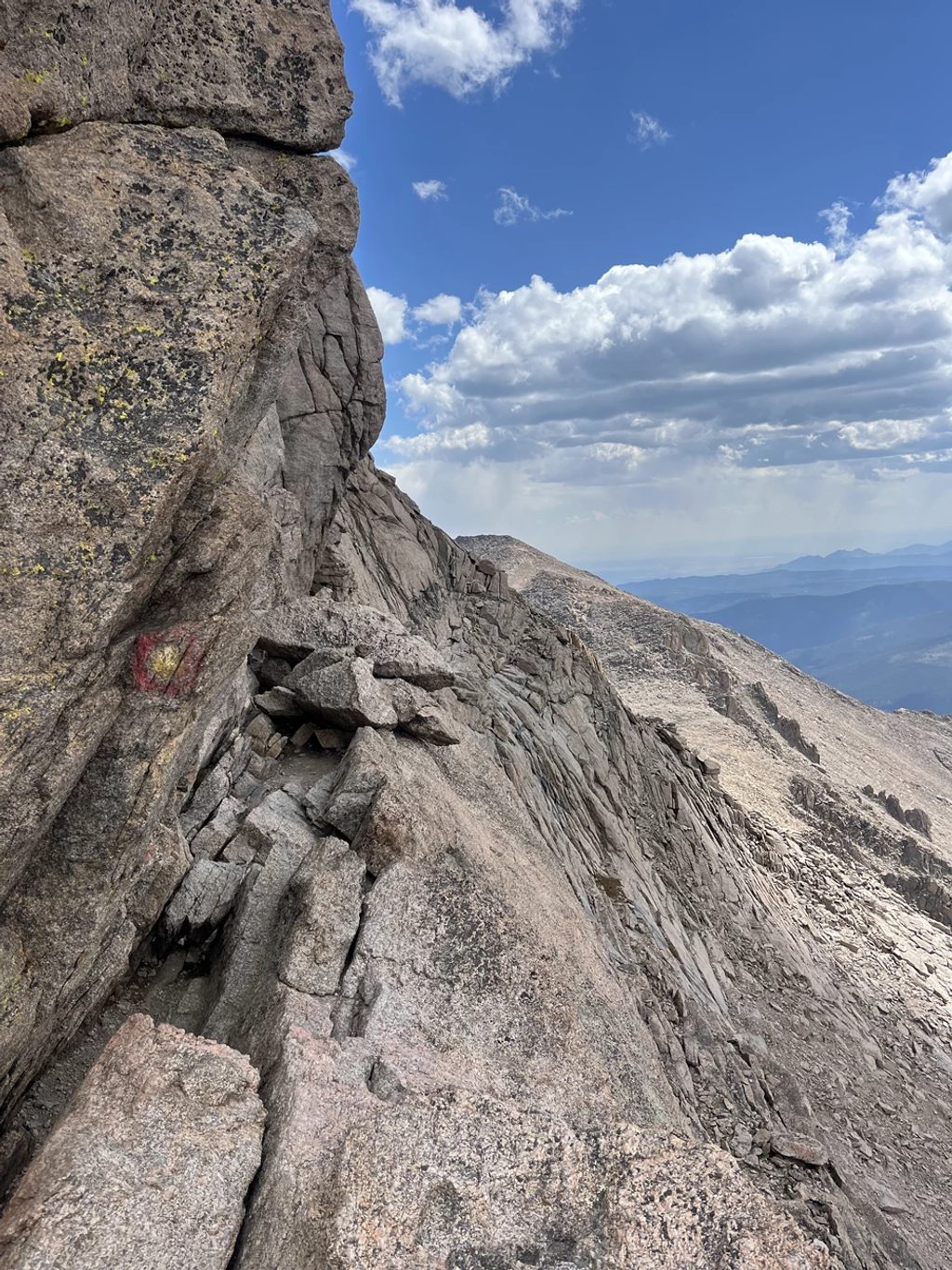
Longs Peak’s Keyhole Route is a demanding, non-technical climb to 14,259 feet that turns from trail to true scrambling past the Keyhole. It’s not a simple hike: expect narrow ledges, loose rock, significant exposure, and real consequences if you slip. When conditions and judgment align, it’s one of Colorado’s great alpine days.
Plan for about 13.3 miles round-trip (out-and-back) with roughly 4,900–5,000 feet of gain. Most parties take a very long day; many start around 2–3 a.m. to be off the upper mountain before typical summer thunderstorms. Expect the descent through the technical sections to feel slower and more serious than the ascent.
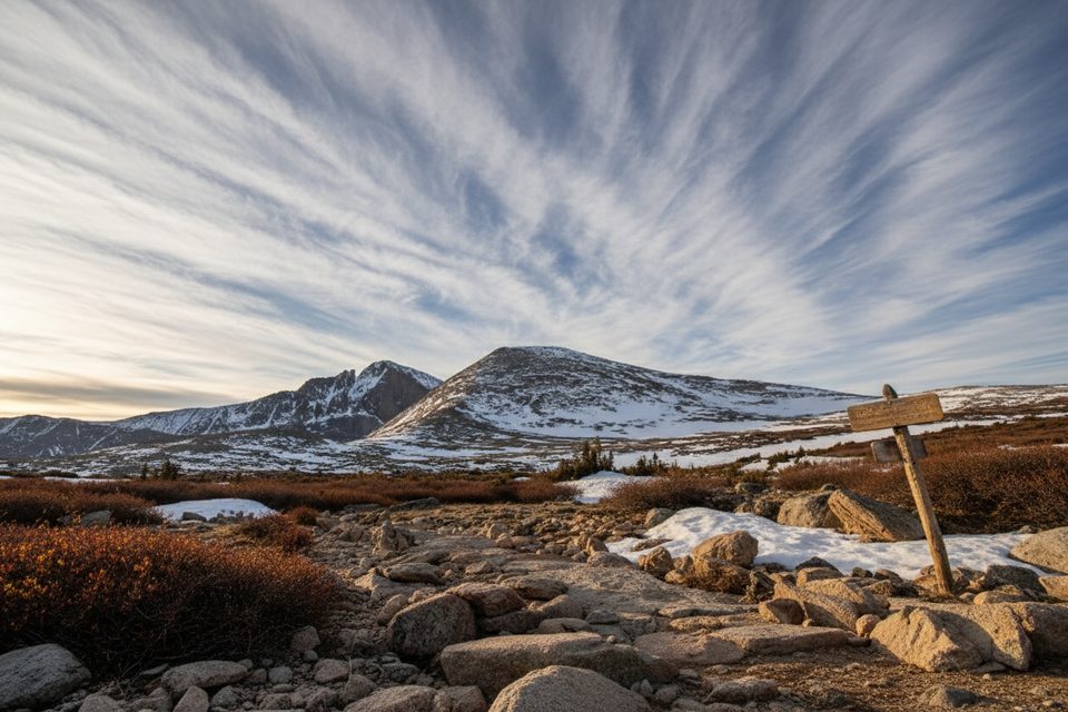
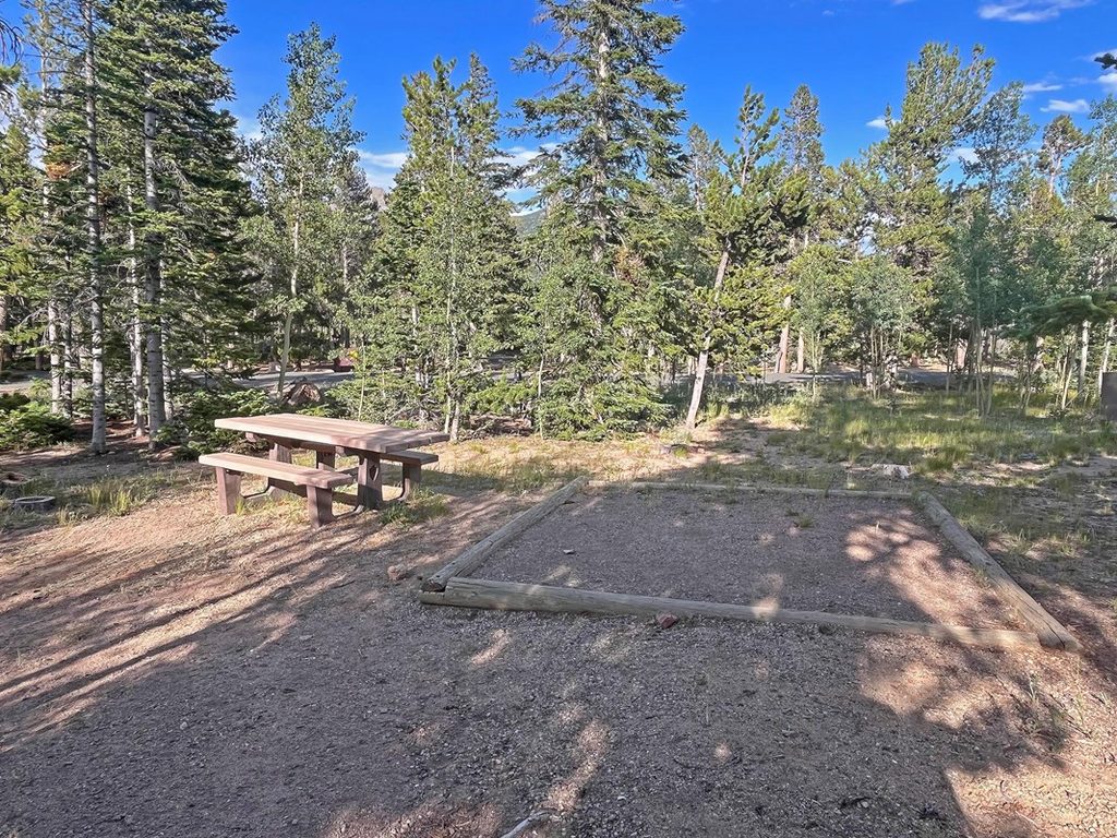
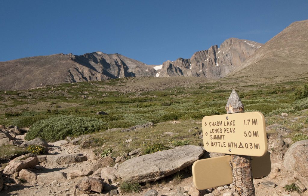
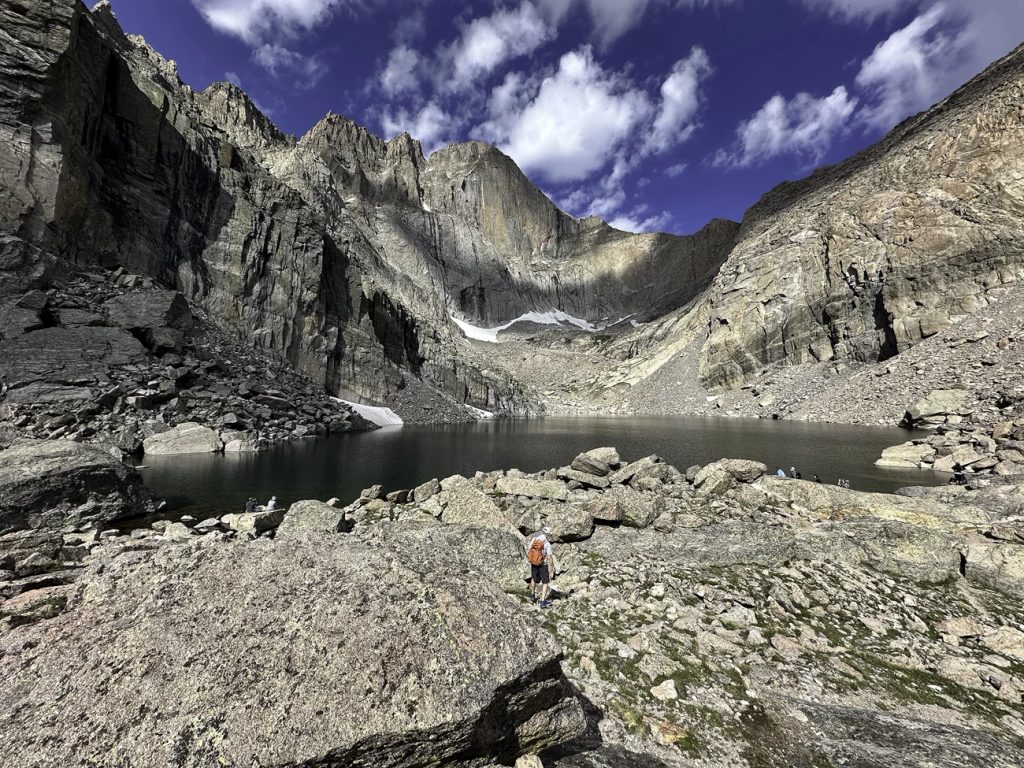
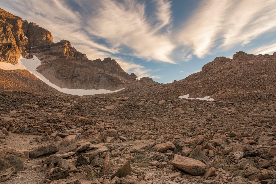
From the Longs Peak Ranger Station, the well-built East Longs Peak Trail climbs through forest past Goblins Forest and Alpine Brook, reaching treeline near 11,000 feet. Continue past the Chasm Lake junction (~11,550 ft), over Granite Pass, and into the Boulder Field (~12,400 ft), where there are toilets and reservable campsites. The maintained trail ends here.
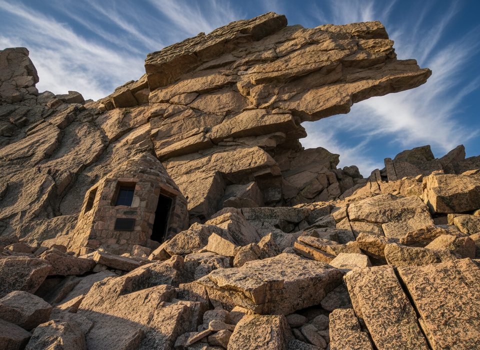
Scramble cairned talus to the Keyhole (~12,800 ft), the gateway to the west side. Beyond it, follow painted bull’s‑eyes through four famed sections: the Ledges (airy traverses with minor ups and downs), the Trough (a 600‑foot gully of loose rock with a short, steeper crux near the top), the Narrows (a very exposed south-side ledge), and the Homestretch (about 300 vertical feet of slabby cracks to the broad summit). These segments require deliberate movement, route-finding attention, and comfort with exposure.
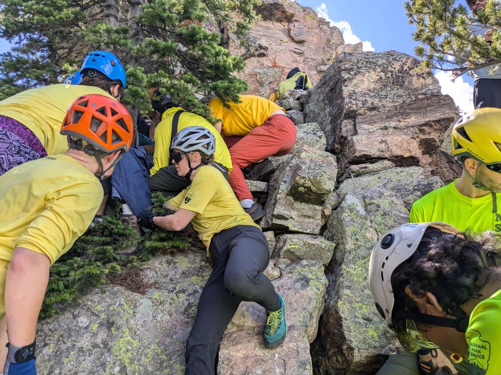
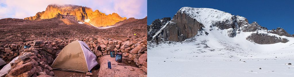
Weather can turn wintry any time, even mid-summer. Afternoon lightning is common June–August, and thin ice can form overnight on slabs. A firm turnaround time and the willingness to retreat are essential. Many climbers wear helmets above the Keyhole due to rockfall. Altitude is real at 14,259 feet; if you feel sick, descend. Best conditions are typically mid‑July to mid‑September, but always verify current reports and go with what the mountain gives you on the day.
Start from the Longs Peak Ranger Station off CO‑7 (Peak to Peak Highway), about one mile west from the highway turnoff. There’s no car camping in the parking area. Boulder Field sites require reservations, and overnight trips need a wilderness permit. Pets are not allowed on this route. Pack plenty of water and calories, sun and wind protection, a headlamp, and a waste bag—use the toilets at the trailhead and in the Boulder Field and pack out the rest.
If you’re comfortable with exposed Class 3 scrambling and want a big, iconic alpine objective, this delivers. If you’re unsure about exposure or moving on loose rock among crowds, consider waiting for a quiet weekday in prime season, or choose a lower‑commitment objective first. The summit will still be there.
Park at the Longs Peak Ranger Station/Trailhead off CO‑7 (Peak to Peak Highway); from the turnoff, drive about 1 mile west to the lot. No car camping in the parking area.
Not a maintained trail past the Boulder Field. If you lose the painted bull’s‑eyes, you’re off route and may encounter harder, more dangerous terrain. Expect exposure, loose rock, rockfall from climbers above (helmet recommended), fast‑building storms and lightning, and possible overnight ice even in summer. Know your turnaround time and be prepared to retreat.
Place · 0 mi away
Place · 0.2 mi away
Place · 1.6 mi away
Place · 1.7 mi away
Challenging · 0 mi away
Challenging · 0 mi away
Challenging · 0 mi away
Challenging · 0 mi away

Parkwolf Tour Guide
