
Place · 0 mi away
Challenging
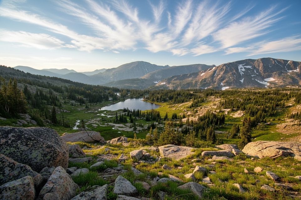
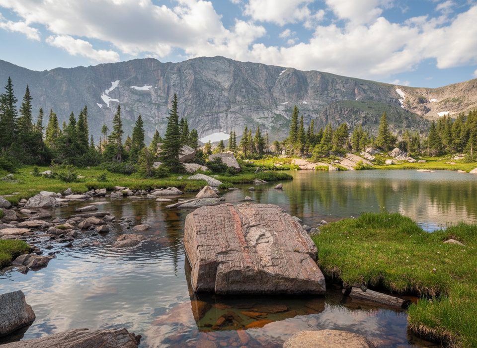
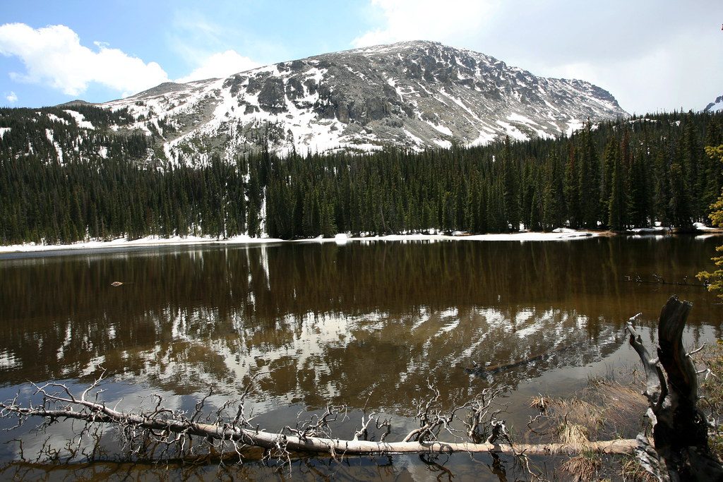
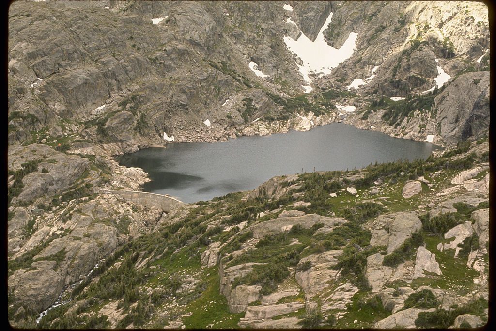
Lion Lake No. 1 is a long, strenuous backcountry day that rewards with a classic high-alpine cirque lake ringed by big peaks. Expect 14.0 miles round-trip on the main route with about 2,565–2,800 feet of gain, or a slightly shorter option (~12.1 miles round-trip) if you take a quieter primitive spur. Either way, this is a full-value Wild Basin outing: rushing creek, cascades, shady forest, a boulder-studded meadow, and a serene subalpine lake beneath Mt. Alice and Chiefs Head.
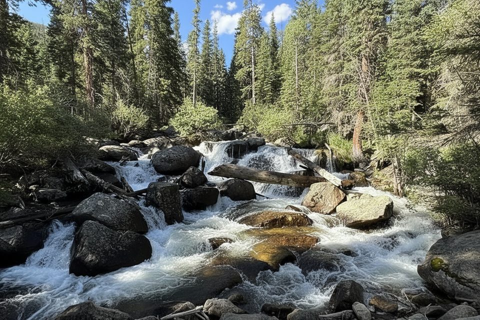
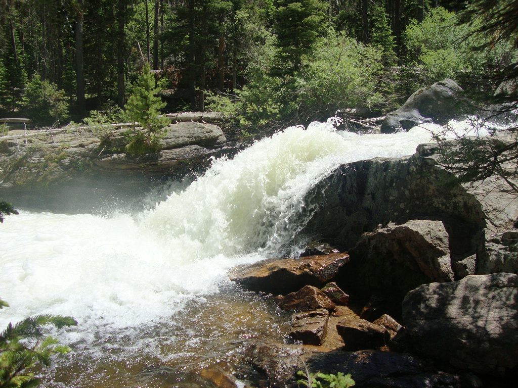
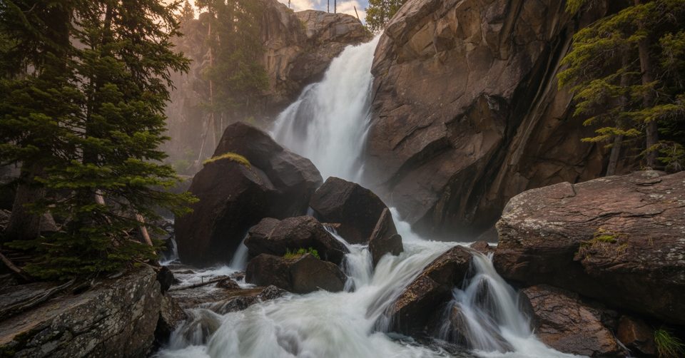
From the Wild Basin Trailhead, most hikers follow the well-traveled Wild Basin/Thunder Lake Trail past Copeland Falls, Calypso Cascades, and Ouzel Falls before turning right at the signed Lion Lake junction roughly 4.6–4.8 miles in. This “waterfalls route” is the most scenic approach and totals about 14 miles round-trip.
Looking for fewer crowds? A primitive spur along North St. Vrain Creek bypasses the big falls and links to the Thunder Lake corridor, trimming the day to around 12.1 miles round-trip. It’s quieter but skips the marquee cascades.
This hike is demanding due to length, sustained elevation gain, and a rugged finish. Above the junction, the Lion Lake Trail steepens and the tread fades in places, crossing rock slabs where cairns guide the way. Route-finding skills help, and an offline map is smart—cell service is unreliable. Trekking poles are a good call for the long descent.
Early miles shadow North St. Vrain Creek through cool subalpine forest with multiple waterfall stops if you take the main approach. Higher up, the trail breaks out into a broad meadow littered with granite boulders and big views of Chiefs Head Peak, Mt. Alice, Pilot Mountain, and Tanima Peak. Summer brings wildflower color, and the basin around Lion Lake No. 1 often feels surprisingly quiet for such a popular park. Strong parties can continue on an unmaintained, cairned path toward Trio Falls, Lion Lake No. 2, and Snowbank Lake.
July through September is the sweet spot; snow can linger into early summer. Start early—afternoon thunderstorms are common, and you’ll want to be back below treeline by early afternoon. Weekdays help with parking in Wild Basin and reduce trail traffic to the waterfalls.
Start at the Wild Basin Trailhead in the park’s southeastern corner. From Estes Park, drive about 12–13.5 miles south on CO-7, turn right at the Wild Basin Road junction, then right again after roughly 0.4 miles into the park. Continue about 2.2 miles on a narrow gravel road (generally fine for 2WD when dry) to the trailhead. Parking is limited—arrive early. In winter (roughly October–May), the road to the trailhead may not be plowed; you’ll need to park at a winter lot, adding about 3 miles one way to your day. Food storage lockers are available at the trailhead for overnight users.
Timed-entry permits are required May–October. Pets are not allowed on this trail. There are several reservable backcountry campsites along the lower Wild Basin corridor, making this a great overnight objective. The path above Lion Lake No. 1 is unmaintained; stock is not permitted beyond the Thunder Lake junction.
Park at the Wild Basin Trailhead at the end of a narrow 2.2-mile gravel road off CO-7; arrive early as parking is limited. In winter months the road may not be plowed—use the winter lot and expect an added 3 miles one way. Food storage lockers available for overnight users.
Long, strenuous day with faint sections on rock slabs; follow cairns and carry an offline map (cell service is unreliable). Afternoon thunderstorms are common—start early and plan to be below treeline by early afternoon.
Place · 0 mi away
Place · 0.1 mi away
Place · 0.1 mi away
Place · 0.1 mi away
Moderate · 0 mi away
Moderate · 0 mi away
Challenging · 0 mi away
Moderate · 0 mi away

Parkwolf Tour Guide
