
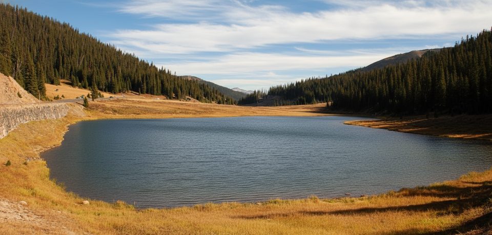
Place · 4.2 mi away
Challenging
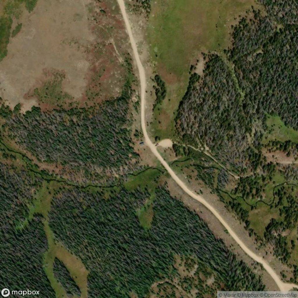
This is a long, rewarding out-and-back to a true alpine cirque in the park’s remote northwest corner. From the Corral Creek Trailhead, it’s roughly 12.8 miles total with about 2,000–2,100 feet of gain, topping out near 11,000 feet at Mirror Lake. Expect 6–8 hours for most hikers. There’s a longer alternative from the CSU Mountain Campus, but most go via Corral Creek for the best effort-to-payoff ratio.
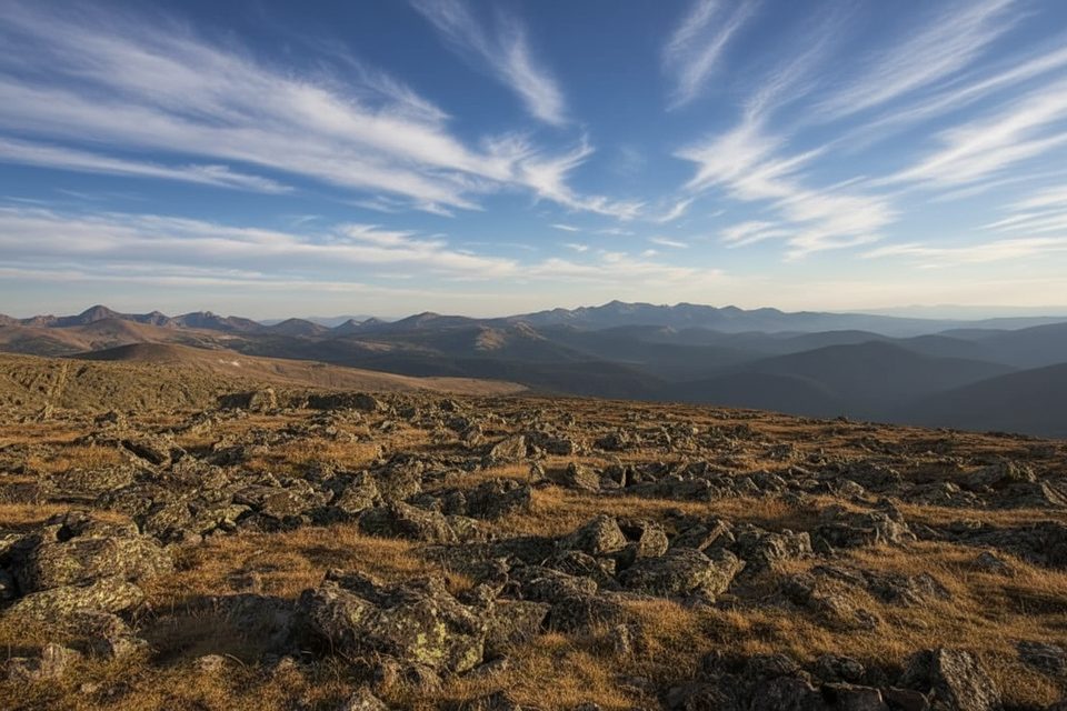
You’ll start in the Comanche Peaks Wilderness on a gentle descent through forest and small meadows along Corral Creek, then cross La Poudre Pass Creek—this is where you officially enter the national park. The path threads alongside the Cache la Poudre River, passes the Hague Creek area, and climbs steadily through meadows. Post-fire openings mean less shade but far bigger valley and peak views as you gain elevation. Near the top, look for suspended ponds and talus where American pikas call; Mirror Lake rests below a jagged, serrated ridge that makes the finish feel grand. Earlier in summer, wildflowers pop in the meadows, and you may see mountain bluebirds and other high-country birds along the way.
This is moderate–strenuous because of length, elevation, and some burn-area obstacles like occasional deadfall. If you’re comfortable with 13-mile alpine days and want a quieter, less-touristed destination than the park’s east-side classics, this is an excellent pick. If you want a short wow-hike, choose something closer to the Bear Lake corridor instead.
Aim for late June/July through September. Snow can linger well into summer at higher elevations, and summer afternoons routinely bring thunderstorms—start at first light and plan to be headed down by early afternoon. The burn has reduced shade, so sun protection matters even on cooler days. Weekdays and early starts see the fewest people.
Reach the Corral Creek Trailhead via Long Draw Road (a gravel forest road off CO-14). It’s a remote approach—allow extra time and expect seasonal opening/closing of the road. You begin outside the park and hike in on foot; standard park entry fees/passes still apply. Parking is at the trailhead; this area does not have the same crowding issues as the main east-side lots, but don’t expect services.
You’ll cross from national forest into the park, and rules change at the boundary. Dogs are allowed before the boundary but are not permitted inside the park—plan your turnaround accordingly if you brought a pup. Designated backcountry sites in this corridor (Hagues Creek, Desolation, Mirror Lake) require a park wilderness permit/reservation. Campfires are prohibited; treat all water; no privies. Bear-resistant canisters are required from April 1–October 31.
Cell service is unreliable—download offline maps. Expect more sun and occasional blowdowns in burn sections. Snow and ice can linger early season—trekking poles (and sometimes light traction) help. Altitude is real here; pace yourself, hydrate, and carry warm/waterproof layers even in midsummer. If storms build, retreat from exposed areas promptly.
Park at Corral Creek Trailhead off Long Draw Road (FR 156) from CO-14; remote gravel approach, allow extra time. Standard park entry fees/passes apply even when hiking in from outside the boundary.
Remote, high-altitude route with burn-scar exposure, occasional blowdowns, unreliable cell service, frequent summer storms, and lingering early-season snow. Dogs not allowed past the park boundary.
Place · 4.2 mi away
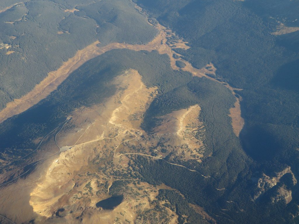
Place · 5 mi away
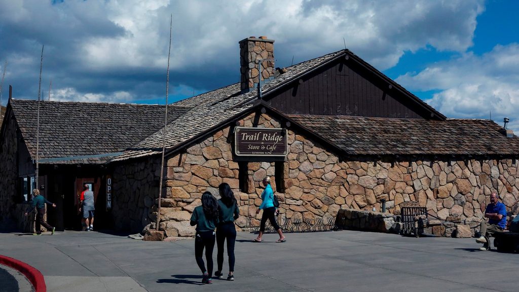
Place · 5.4 mi away
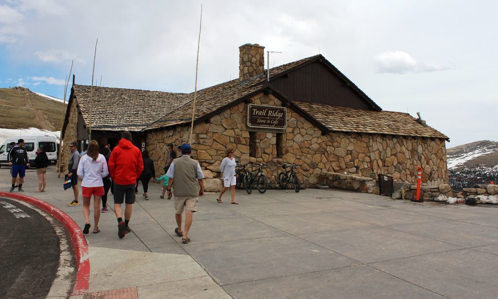
Place · 5.4 mi away
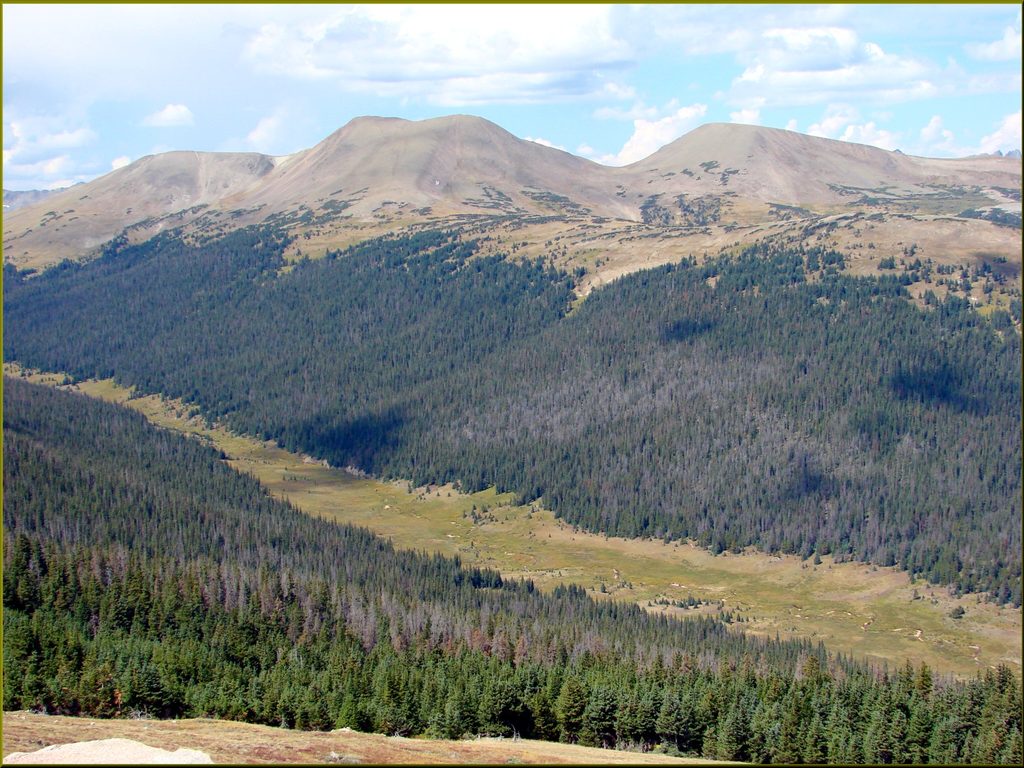
Moderate · 3.7 mi away
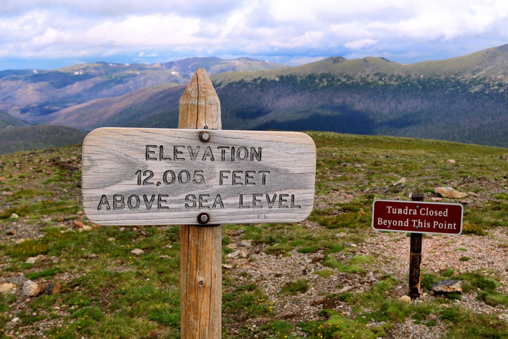
Easy · 5.4 mi away
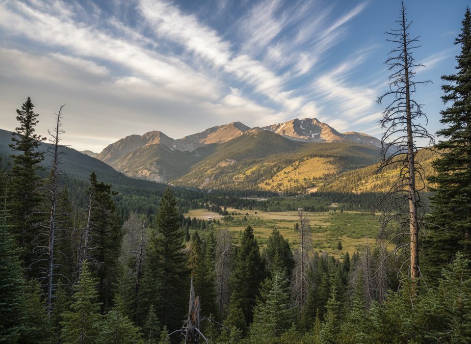
Challenging · 6.1 mi away
Challenging · 6.1 mi away

Parkwolf Tour Guide
