
Place · 0.2 mi away
Challenging
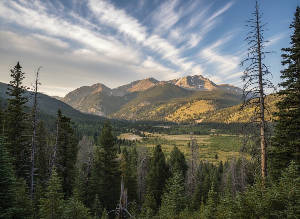
This is a proud alpine link-up of three Mummy Range summits—Mount Chapin, Mount Chiquita, and Ypsilon Mountain—via a mostly above-treeline ridge. Expect roughly 8.3–8.5 miles total (out-and-back) with around 3,100–3,450 feet of gain, topping out at 13,514 feet on Ypsilon. It’s strenuous, wild, and weather-exposed. If you love big views and don’t mind faint tread and talus, CCY delivers.
Start from the Chapin Pass/Chapin Creek area on Old Fall River Road. Within ~0.1 miles, take the signed right toward the summits. Another split around 0.66–0.7 miles: right trends toward all three peaks over Chapin’s north flank, while the left branch bypasses Chapin and heads to the Chapin–Chiquita saddle. An unmarked spur around 1.7 miles tags Mount Chapin (12,454 ft) on easy tundra/talus; from its broad top you’ll peer into Horseshoe Park.
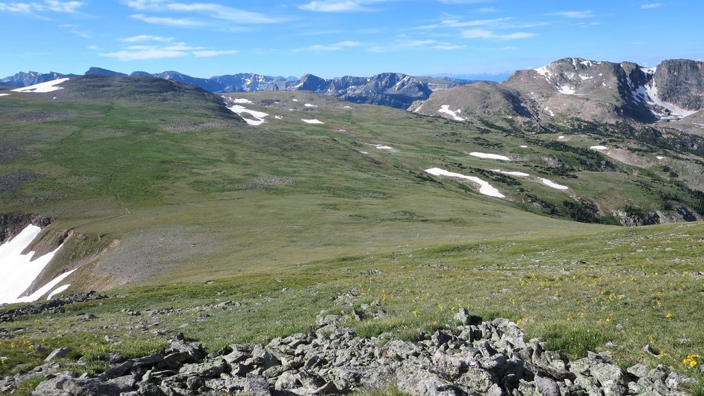
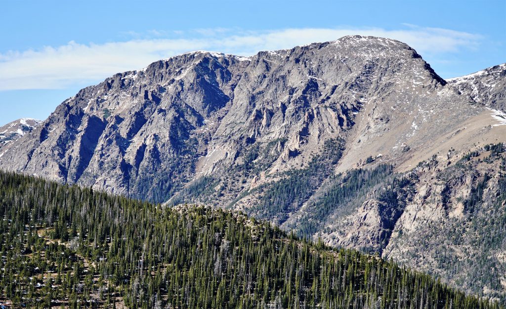
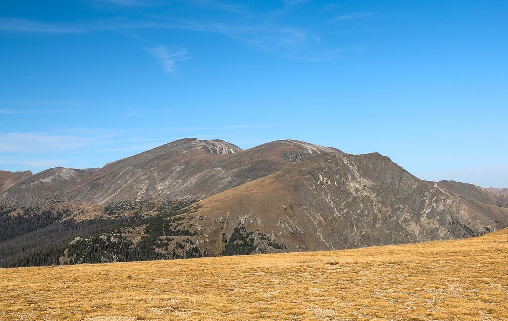
From the Chapin–Chiquita saddle, the climb to Mount Chiquita (13,069 ft) steepens and turns bouldery near the top. The path fades into cairned options and light Class 2 scrambling. Beyond Chiquita, the ridgeline to Ypsilon is largely on tundra with intermittent talus and multiple cairned lines—no formal trail, but the way is intuitive in clear weather. Views explode into the Y-shaped couloirs on Ypsilon’s face and down to basins holding Spectacle and nearby lakes; wider panoramas sweep the Mummy Range, Lawn Lake valley, and far ranges.
For the return, most hikers simply re-summit Chiquita and descend via the saddle. Confident navigators can contour around Chiquita on a faint social path across easy tundra from the Ypsilon–Chiquita saddle to rejoin the main trail, avoiding the re-climb.
This is a full alpine day: strong winds, cold temps even in summer, and fast-building thunderstorms are the norm. Start early to be below treeline before afternoon weather. The upper route involves unmaintained, sometimes faint user paths, talus travel, and Class 2 moves—download a map or carry a printed one, and be comfortable choosing among cairned lines. Acclimatization helps; the day begins near 11,000 feet and stays high for hours.
Access is via Old Fall River Road—a one-way dirt/gravel road with ruts and potholes and very limited pullout parking at the trailhead. Arrive early; there are no facilities. The road runs one-way uphill; you’ll exit the area via Trail Ridge Road. The road is seasonal, so verify status before you go; park access controls may also be in effect.
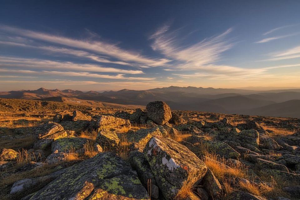
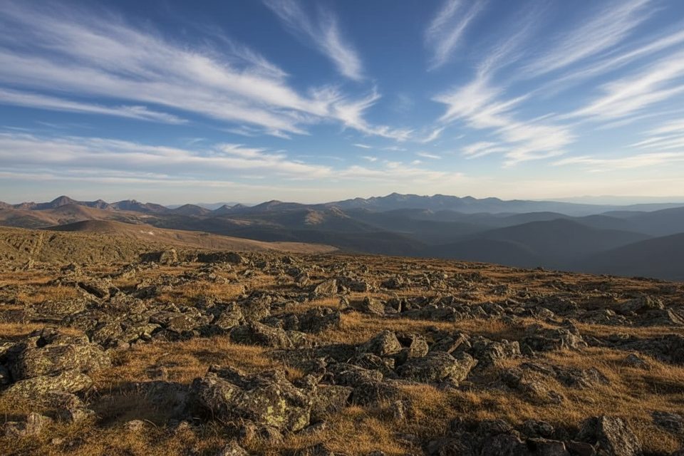
This tundra ridge is a good place to spot Clark’s Nutcrackers and White-tailed Ptarmigan (sometimes with chicks). On the geology front, upper slopes and summits feature broad alpine talus; some rocks near Chiquita appear layered like ancient sediments. The real show, though, is the high-country panorama—near-constant 360° views from all three summits.
Mid-summer on clear, stable days is best, ideally with a pre-dawn or very early start to beat wind and lightning. Before early July, snow can linger and complicate the talus and ridgelines. Weekdays help with parking and a quieter ridge. Golden-hour light paints the cirques beautifully, but prioritize safety and storm timing over sunset aesthetics.
Very limited pullout at Chapin Pass/Chapin Creek along Old Fall River Road (one-way dirt/gravel). Arrive early; no facilities. Access is uphill via Endovalley, and you’ll exit the area via Trail Ridge Road when leaving.
Fully alpine: severe wind, cold, and fast thunderstorms; long exposure above treeline; light Class 2 talus and faint user paths with cairned options; seasonal snow; verify Old Fall River Road status. Acclimatize and start early to avoid lightning.
Place · 0.2 mi away
Place · 1.3 mi away
Place · 1.3 mi away
Place · 1.4 mi away
Challenging · 0 mi away
Challenging · 0 mi away
Challenging · 0 mi away
Easy · 1.3 mi away

Parkwolf Tour Guide
