
Place · 0.2 mi away
Challenging
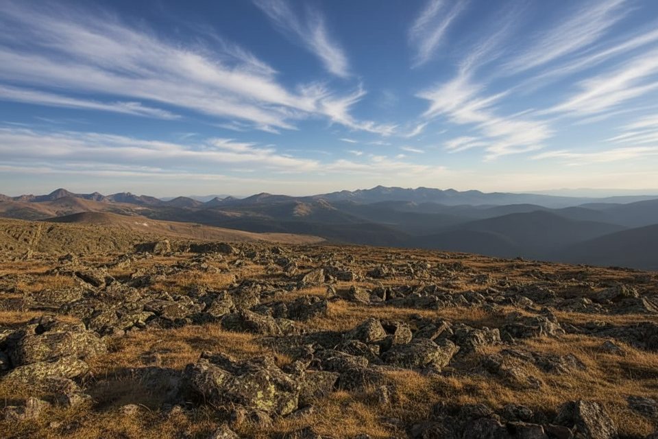
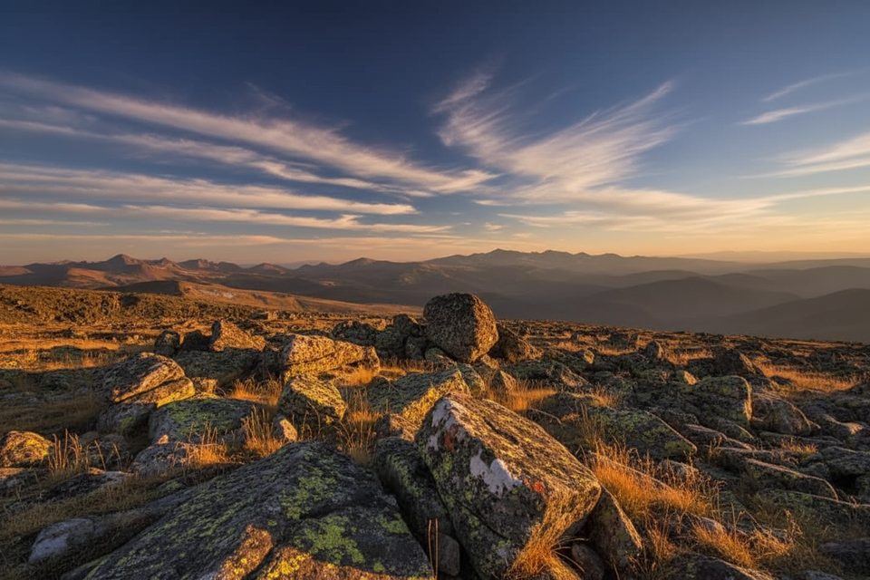
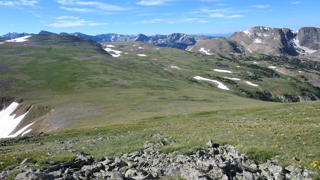
Chapin Pass is a high-alpine, above-treeline hike with outsized views and fewer people than the park’s headline trails. The classic outing is an out-and-back to Mount Chapin: 4.0 miles total with about 1,473 feet of gain, topping out near 12,455 feet. Expect a quick punch out of the trees, then miles of tundra, wind, and big sky. It’s challenging mostly because of altitude and some rocky, steep sections near the top.
The trailhead is along Old Fall River Road, a historic, one-way, unpaved road approached from the east via Endovalley. Parking is roadside and limited—pullouts fill early, and the shoulder can be narrow with drop‑offs. After your hike you’ll continue uphill toward the Alpine Visitor Center (you can’t drive back down).
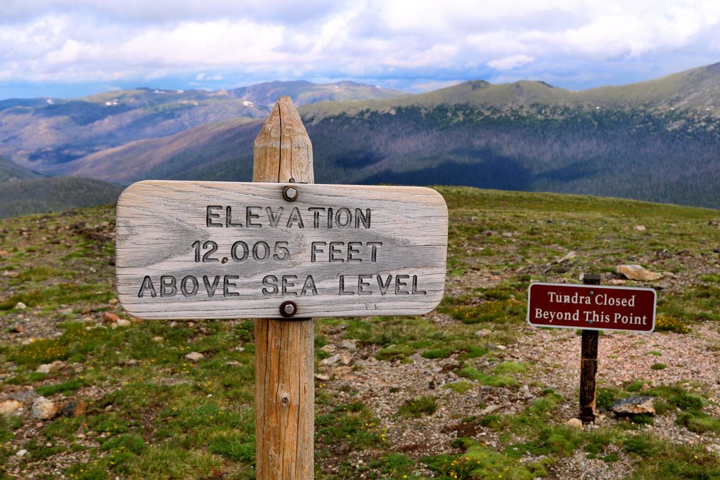
The grade starts steep through subalpine forest, then breaks into open tundra around 11,500 feet. The route is signed as not maintained but is generally easy to follow; higher up it may fade into rock-hopping. Look for elk on the slopes, marmots and pika among boulders, and aerial acrobatics from Clark’s Nutcrackers. On lucky days, you might spot White‑tailed Ptarmigan nestled in the tundra. In mid-summer, wildflowers like alpine poppy, king’s crown, and phlox dot the meadows—step carefully; tundra plants are fragile. Geology fans: nearby summits show layered rock that hints at ancient seafloors uplifted over millennia.
Aim for mid-summer to early fall after snow melts. Start at dawn to beat fast-building afternoon thunderstorms and wind common on the tundra, and to snag parking. During peak season, timed-entry permits can be required; for areas outside the Bear Lake corridor, expect a mid-morning/midday reservation window. You can also enter outside the permit hours.
Altitude makes everything harder here—acclimatize if you can. Bring layers (including a wind shell), sun protection, plenty of water and snacks, and sturdy footwear; trekking poles help on scree or lingering snow. The summit area is often windy and cold even in July. No dogs on any park trails.
If you want big alpine views without the usual crowds, this is a gem. The summit push is rocky and the navigation gets a bit fuzzy up high, but that’s part of the adventure. If you’re short on time or still acclimating, the Lower Fork loop delivers nearly the same scenery with less effort.
Roadside pullouts along Old Fall River Road at Chapin Pass/Chapin Creek; limited shoulder parking, one-way east-to-west access only. Arrive very early.
High altitude, rapid weather shifts, strong wind, faint unmaintained path near the top, thunderstorms, seasonal one-way road access, and timed-entry requirements in peak season. No dogs.
Place · 0.2 mi away
Place · 1.3 mi away
Place · 1.3 mi away
Place · 1.4 mi away
Challenging · 0 mi away
Challenging · 0 mi away
Challenging · 0 mi away
Easy · 1.3 mi away

Parkwolf Tour Guide
