
Place · 0 mi away
Easy
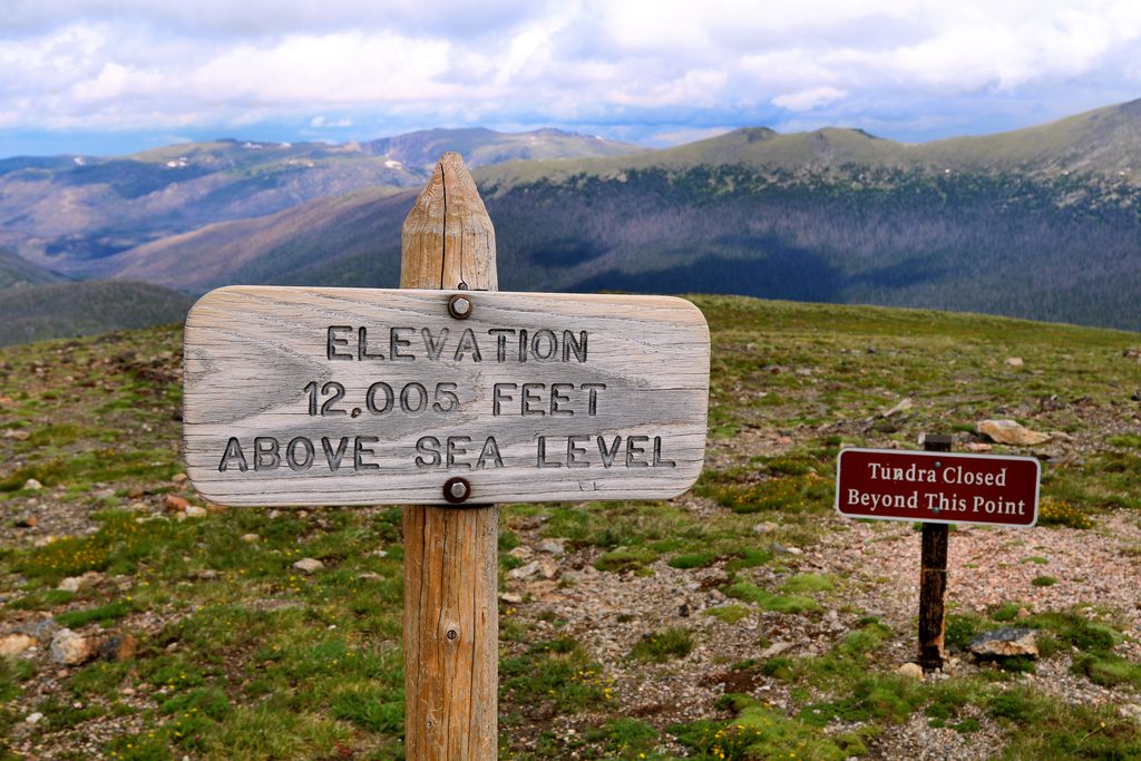
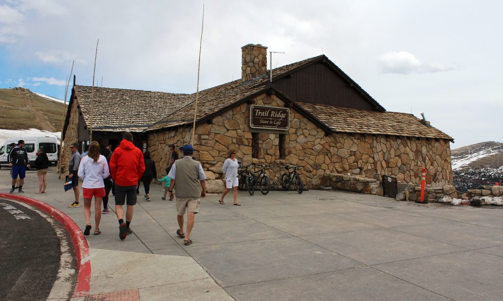
This is the park’s quintessential “taste of the alpine.” Starting at the Alpine Visitor Center on Trail Ridge Road, the Alpine Ridge Trail is a 0.6-mile round-trip, paved out-and-back with roughly 162 feet of gain. Don’t be fooled by the stats—at 11,796 feet to a signed high point of 12,005 feet, the thin air makes the short climb feel real. Locals lovingly call it “Huffer’s Hill” for a reason.
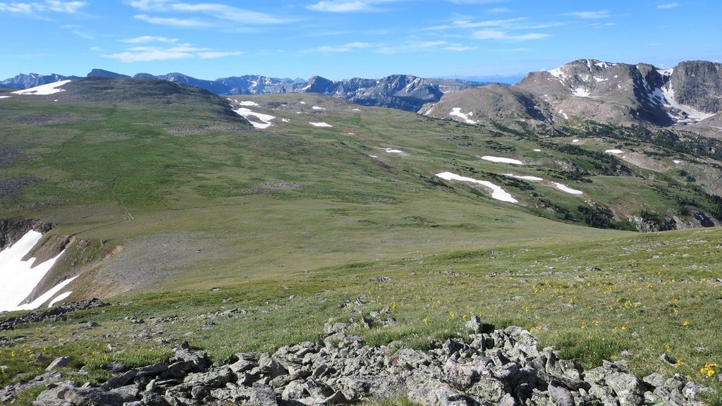
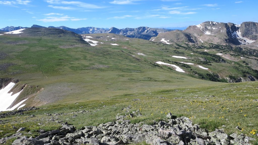
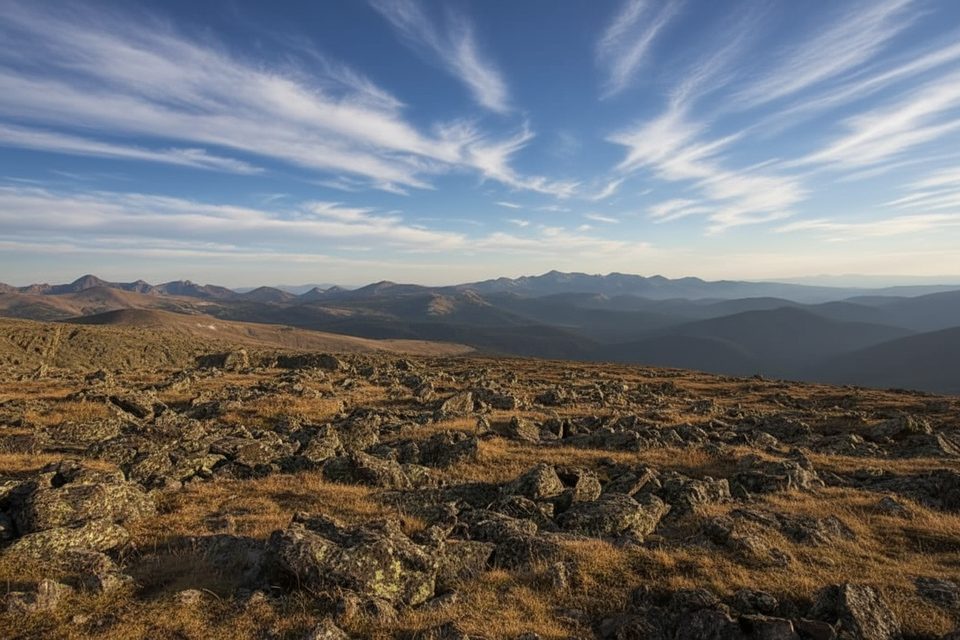
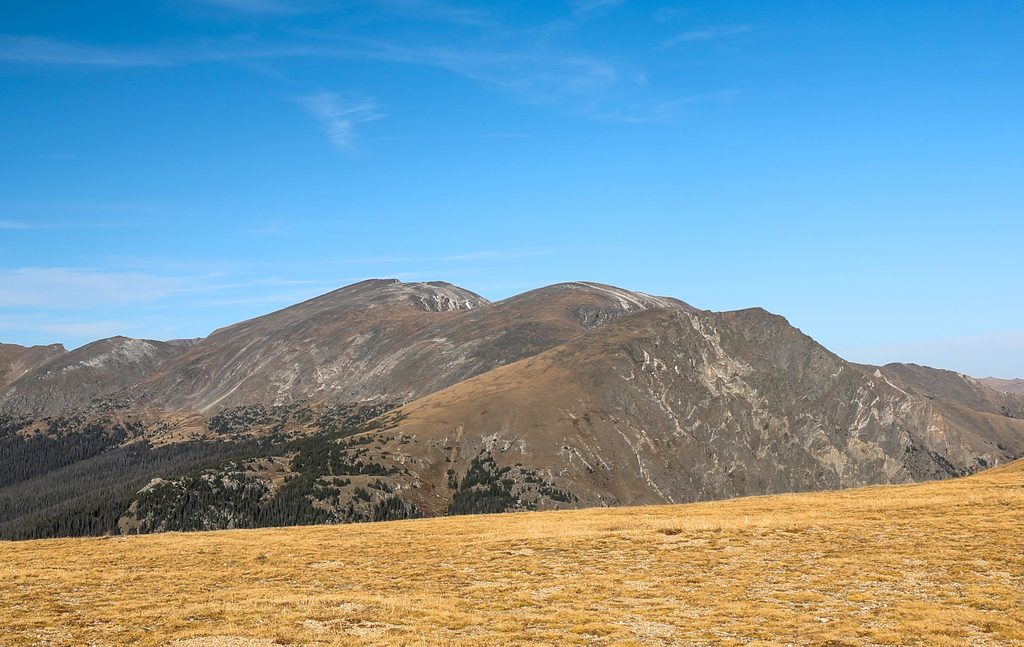
The path is paved and includes multiple stair sections with a steady, lung-testing grade. You’re fully exposed above treeline: no shade, often windy, and noticeably colder than the valleys below—even in summer. Expect 360-degree views from the top, including the Never Summer Mountains and, on exceptionally clear days, distant plains to the north. Along the way, interpretive signs point out peaks and explain the fragile tundra you’re walking through. Most people take 15–30 minutes depending on how altitude feels that day.
You’re in true alpine tundra—look for low, hardy wildflowers like alpine avens, moss campion, and alpine forget‑me‑nots hugging the ground. Keep an eye (and ear) out for marmots and pikas in the rocks, and you might spot elk moving across high slopes. Mountain goats are occasional visitors.
High-country access is highly seasonal. This trail typically opens mid to late June due to lingering snow and ice. Summer mornings are best for calmer winds, softer light, fewer crowds, and to dodge typical afternoon thunderstorms—aim to be off the ridge by noon. Trail Ridge Road itself can close for snow well into early summer and again in fall, so always verify current status on the day you visit.
Park at the Alpine Visitor Center lot; restrooms, food, and the visitor center are right there when open. This is a very popular stop, especially mid-day in summer—go early (or late) to sidestep crowds and get easier parking. Pets are not allowed on this trail. In some seasons, a timed-entry system may apply for park access—plan accordingly.
Altitude is the main hazard. Common symptoms include headache, nausea, dizziness, and unusual fatigue. Pace yourself, sip water, eat a little, and if symptoms worsen, descend—the real remedy is lower elevation. Weather flips fast on the divide: carry a warm layer, wind shell, sun protection, and watch for building clouds. Stay on the pavement to protect fragile tundra—damage can take centuries to heal.
Loved the alpine feel but want a longer, less stair-heavy wander? Consider a nearby segment of the Ute Trail for a broader tundra ramble and big views without the constant steps.
Park at the Alpine Visitor Center lot on Trail Ridge Road; restrooms and food available when open.
High altitude, rapid weather changes, and frequent afternoon lightning; no shade. Trail often closed by snow until mid–late June. Stay on pavement to protect fragile tundra; pets not allowed.
Place · 0 mi away
Place · 0.1 mi away
Place · 0.1 mi away
Place · 0.1 mi away
Challenging · 1.3 mi away
Challenging · 1.3 mi away
Challenging · 1.3 mi away
Challenging · 1.3 mi away

Parkwolf Tour Guide
