Pros & cons
PROS
- Huge alpine panoramas with minimal effort
- Quick tundra walk adds even bigger views
CONS
- No on-site restrooms or services
- Windy, storm-prone, and very high elevation
Overview
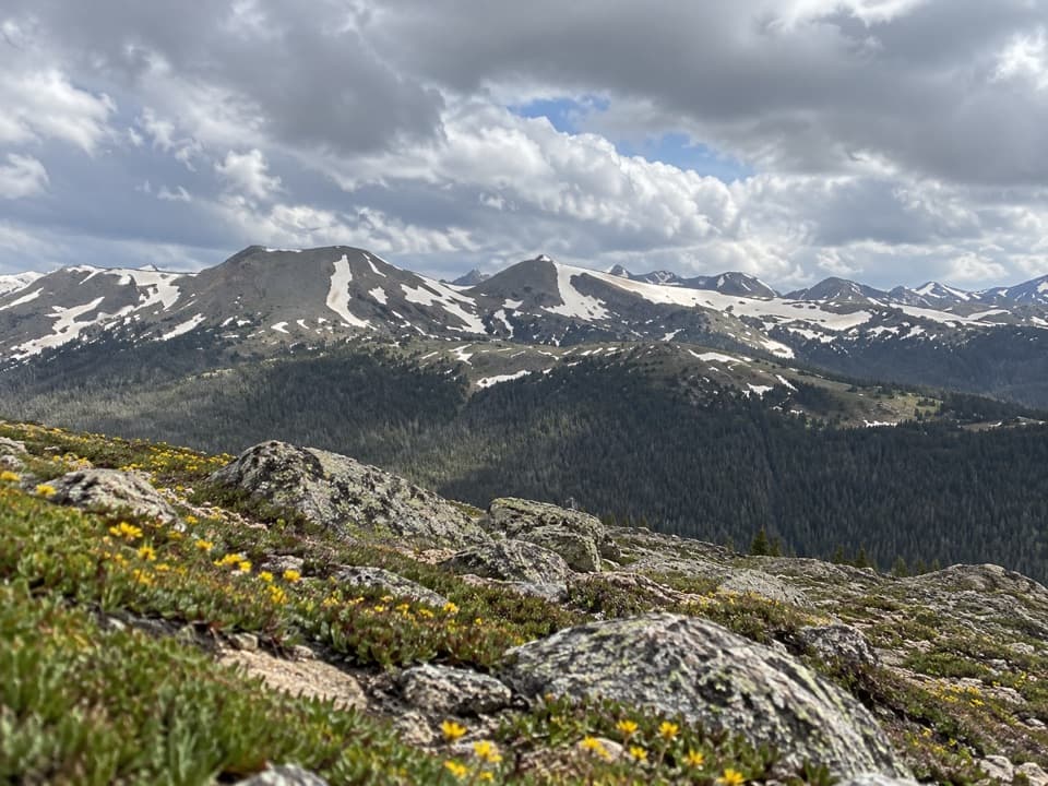
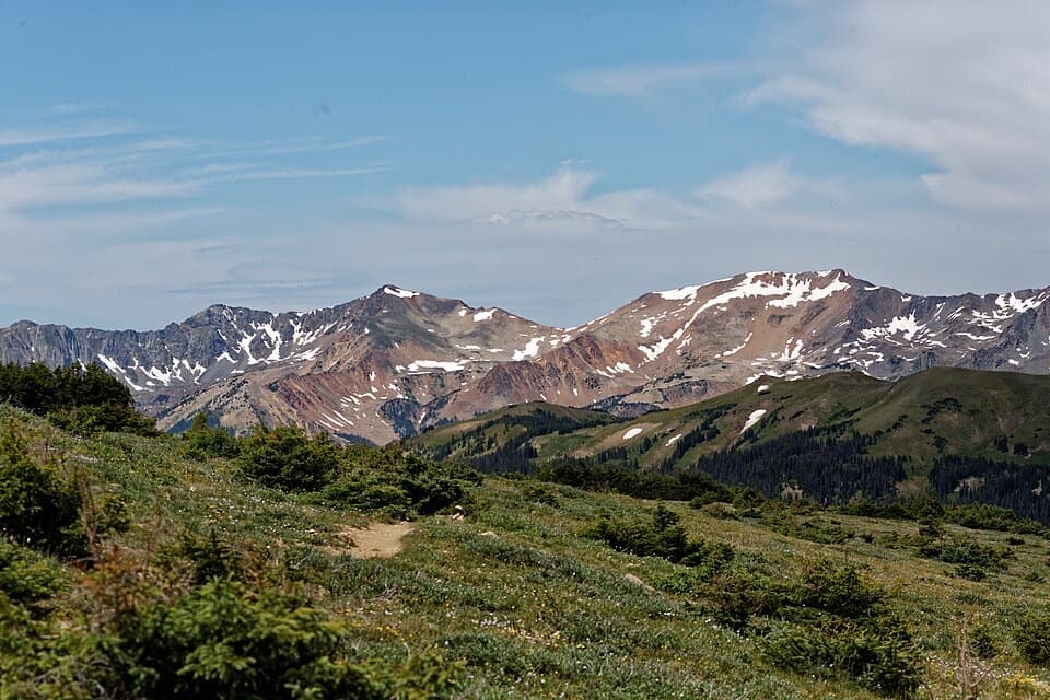
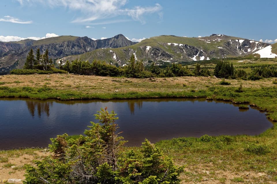
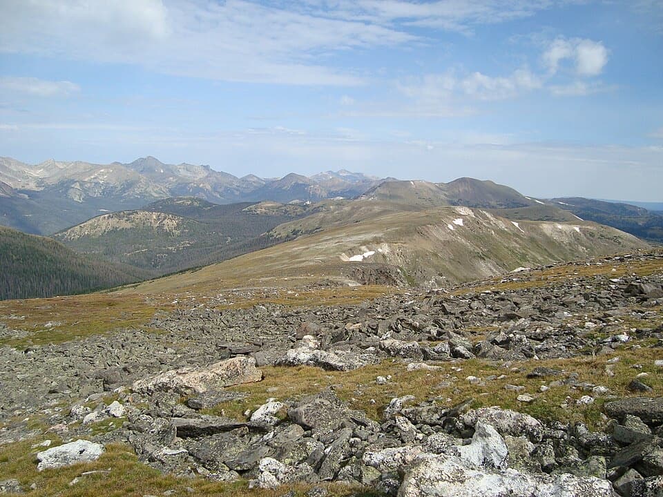
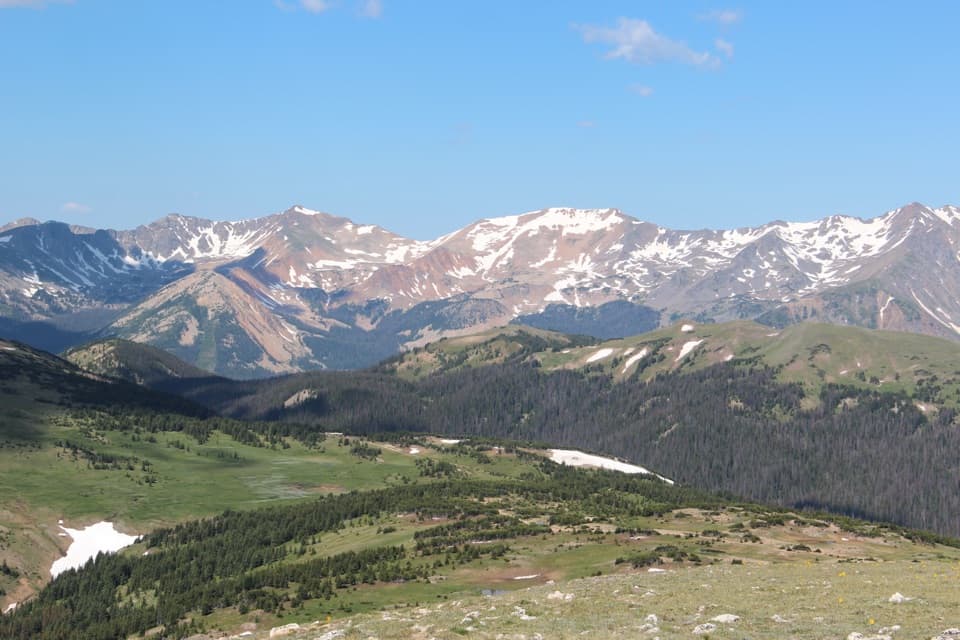
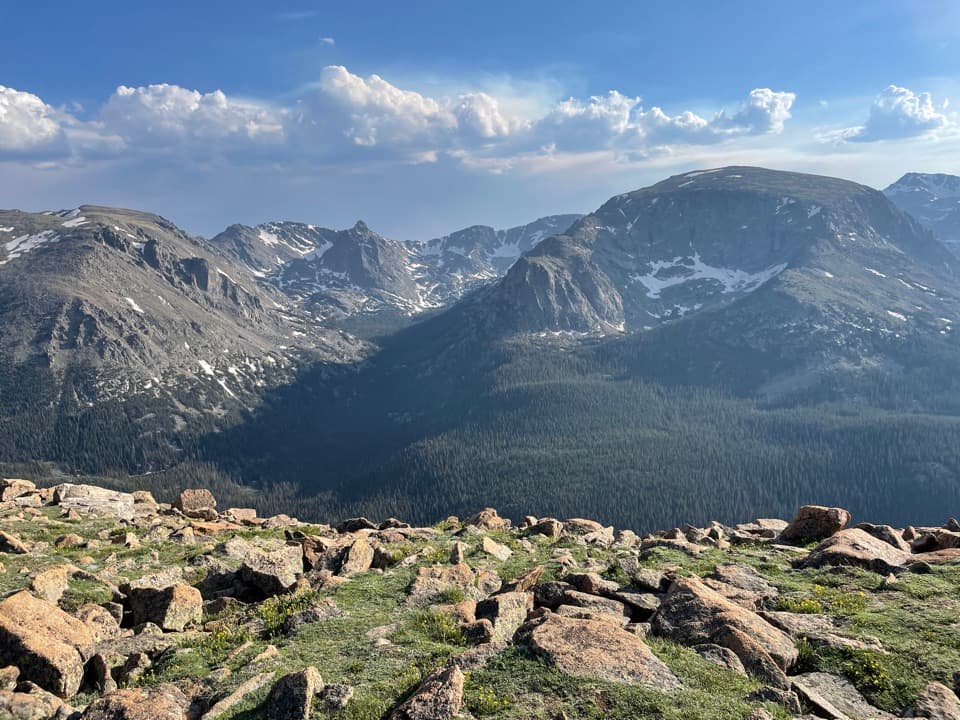
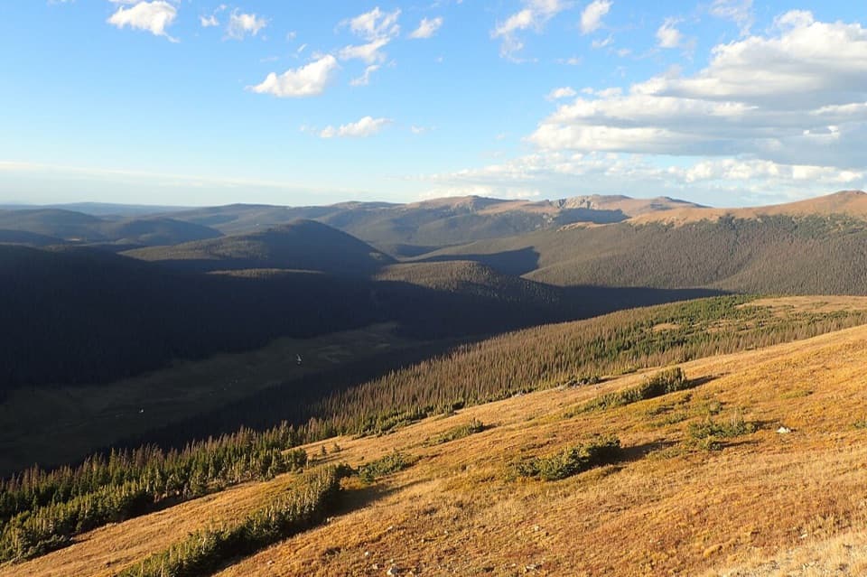
Medicine Bow Curve sits high on Trail Ridge Road at about 11,640 feet, above treeline in true alpine tundra. It’s a classic pullout with a sweeping view across the high country—on clear days you can even see into Wyoming to the north. The skyline includes the Never Summer Mountains and features like Mineral Point and the historic Grand River Ditch.
What You’ll See
From the curbside viewpoint you get a widescreen look at the Never Summers, including peaks such as Baker Mountain, Mt. Stratus, Mt. Nimbus, Mt. Cumulus, Red Mountain, and Howard Mountain. The sightlines north pick up the distant Medicine Bow country when the air is crisp. It’s one of those rare stops where you step out of the car and the whole landscape feels like it’s right at your feet.
The Short Tundra Walk
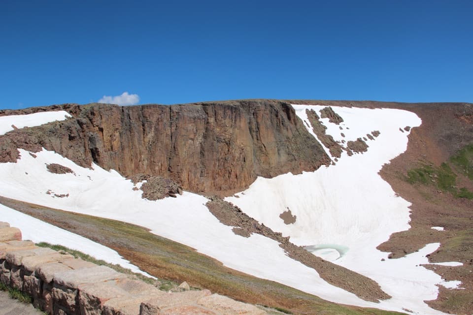
At the upper end of the lot, an easy, unofficial spur path wraps around the slope for broader angles. It’s roughly 0.7 miles round-trip with about 100 feet of gentle gain—15–25 minutes if you linger for photos. Stay on the established path; the tundra here is fragile and recovers slowly from off-trail footsteps.
Wildlife
This high, open terrain draws wildlife. Visitors frequently spot elk grazing on the slopes and hear or see marmots scampering among the rocks. Sharp-eyed folks occasionally note ptarmigan blending into the tundra. Bring a camera and a patient gaze.
Know Before You Go
Weather changes fast above treeline. Afternoon storms are common in summer, wind is a regular companion, and lightning is a real risk—keep an eye on the sky. The elevation can hit newcomers hard; carry water, a snack, and add a warm layer even on sunny days. There are no facilities at the curve itself; plan restroom stops elsewhere along Trail Ridge Road.
Logistics and Seasonality
Trail Ridge Road is a seasonal, high-mountain highway—open dates vary with snow conditions. In peak season (roughly late May through early October), the park uses a timed-entry system, and this pullout has only a modest amount of parking that can fill during busy hours.
Best Time to Visit
Shoot for mornings on clear days: calmer winds, easier parking, and the most reliable views before afternoon clouds build. Midday can be harsh for photography; late-day light is lovely if the forecast is stable. If storms are forming, skip the walk and enjoy the views from the car-side area.
Where it is
40.4472, -105.7541Tips for Medicine Bow Curve
- 01Stop first at Alpine Visitor Center or Milner Pass for restrooms, then swing by the curve.
- 02Aim for early morning for easier parking and steadier weather.
- 03Carry layers—wind and sudden temperature drops are common above treeline.
- 04Stay on the path to protect delicate alpine tundra.
- 05A timed-entry pass is required in peak season; secure it in advance.
Amenities
Near Medicine Bow Curve
All places →All trails →
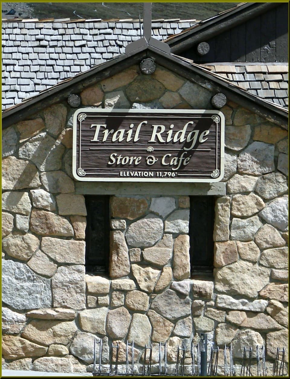
0.4 mi awayTrail Ridge Store & CaféHigh-alpine pit stop with the park’s only in-park food and coffeeFood · Restaurant
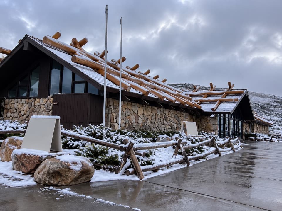
0.4 mi awayAlpine Visitor CenterHigh-alpine hub with tundra views, a café, and a quick summit walkVisitor Center · Restroom
0.4 mi awayAlpine Ridge TrailShort, stair-steep climb to 12,005-foot tundra panoramas.Easy · 0.6 mi · 20 min
0.5 mi awayFall River Pass Historic ShelterStone alpine wayside beside Alpine Visitor Center with big tundra viewsExhibit · Parking
0.5 mi awayFall River PassWindswept alpine pass with big views and the high Alpine Visitor CenterVisitor Center · Restroom
1.5 mi awayChapin–Chiquita–Ypsilon (CCY)Triple-summit ridge walk with big tundra views and real weather.Challenging · 8.4 mi · 7.5 hr
1.5 mi awayChapin Pass TrailHigh-alpine tundra stroll with big views and a quiet summit optionChallenging · 4 mi · 2.7 hr
1.5 mi awayMount ChapinShort high elevation climb to big tundra views without all day effortChallenging · 4 mi · 2.7 hr