
Place · 0 mi away
Challenging
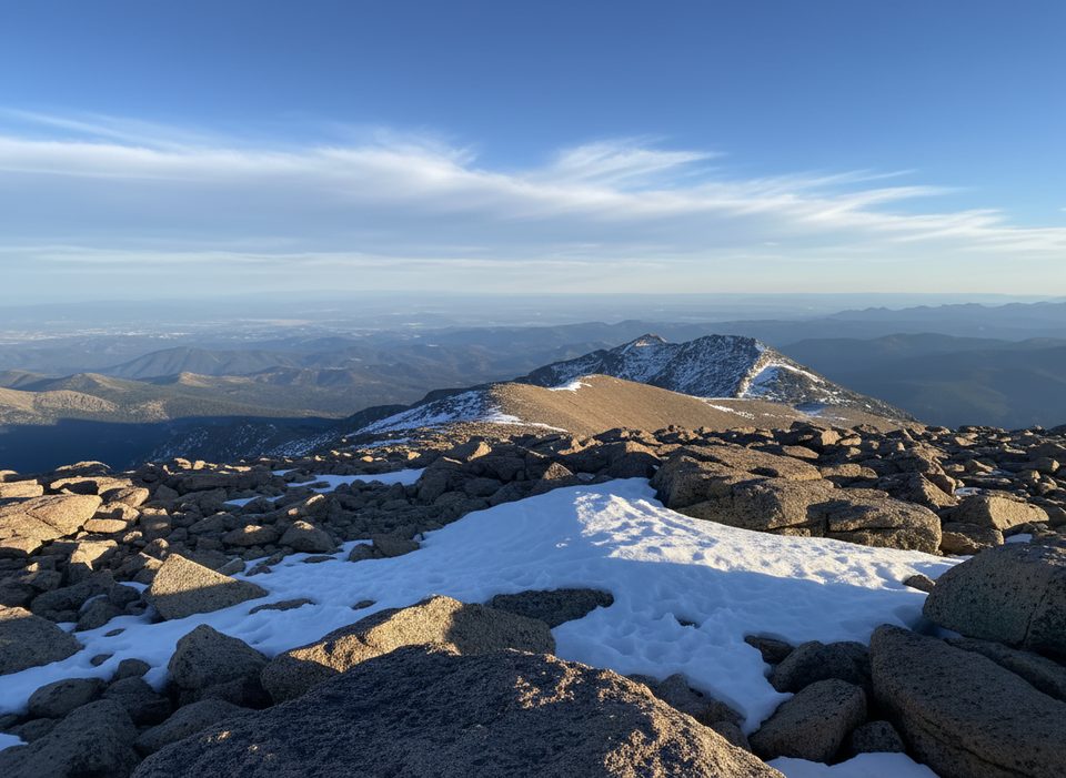
The North Longs Peak Trail is a high, rocky connector that links the Boulder Brook approach to Granite Pass and on toward the Boulderfield/Keyhole area. It’s not a casual stroll or a marquee destination by itself—it’s a workhorse segment used on long summit days or big alpine traverses. Expect narrow, uneven singletrack, steep pitches, and classic alpine exposure to wind, sun, and fast-changing weather. Official guidance emphasizes that conditions above 10,000 feet can include lingering snow and ice well into summer, and winter-like weather can occur any time of year.
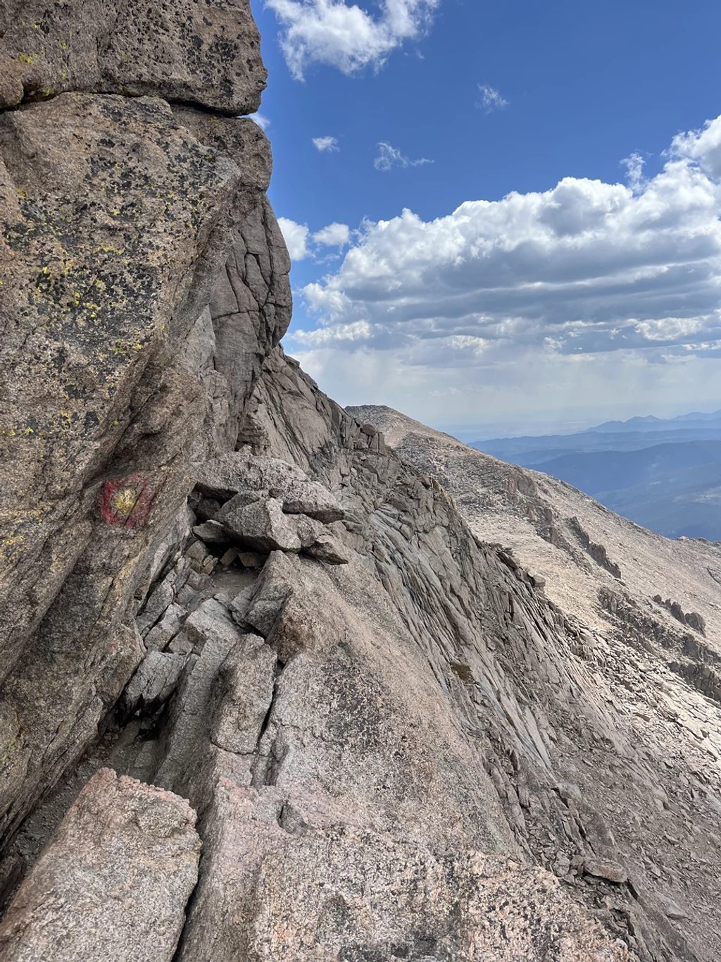
Measured as a standalone segment, the trail runs about 3.1 miles with roughly 1,700 feet of net elevation change. Most hikers reach it by climbing from the park interior via Boulder Brook to Granite Pass, then continuing on this trail toward the Boulderfield. The tread is rocky and loose in places, with sustained grade. Water is generally unreliable once you break treeline—plan to carry what you need. If you push past the Boulderfield to the Keyhole and beyond, know that the route to Longs Peak’s summit becomes true scrambling with real exposure (the Ledges, Trough, Narrows, and Homestretch). That upper section is not a hike and demands comfort with Class 3 terrain and objective hazards like rockfall and sudden weather.
High-elevation weather is fickle: rain, hail, sleet, snow, and rapid temperature swings are all possible in a single day. Afternoon thunderstorms are common in summer—plan an alpine start and aim to be back below the Boulderfield by midday. Above 10,000 feet, expect snow/ice patches; traction devices and trekking poles can be wise, and you should be ready to turn around if slabs are wet or icy. Don’t rely on footprints for navigation—carry a map, compass, or GPS and know how to use them. Watch for falling trees/branches in forested sections, perform tick checks, and wear closed-toe footwear with good traction. If you continue beyond the Keyhole, many parties don helmets due to rockfall.
Most parties park inside the park near Sprague Lake or the Storm Pass area to access the Boulder Brook Trail, then climb to Granite Pass and join the North Longs Peak Trail. Parking is limited; arriving very early helps, and the seasonal park shuttle can reduce parking stress. During the busy season, timed-entry reservations are required during certain hours (with a separate permit window covering the Bear Lake Road Corridor). Pre-dawn starts often avoid the timed-entry windows, but verify current rules before you go. Pets aren’t allowed on park trails.
The most practical window is summer into early fall when snow coverage is typically lowest (commonly June–September), but even then storms and ice are possible. Start in the dark for calmer weather, more solitude, and firmer footing. Shoulder seasons demand mountaineering skills and gear; winter travel here is specialized and serious.
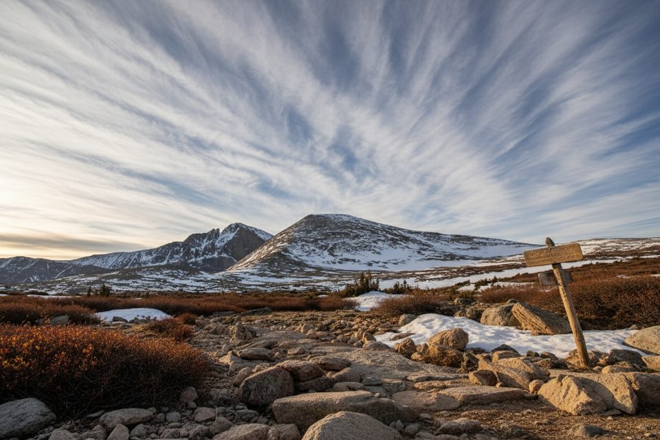
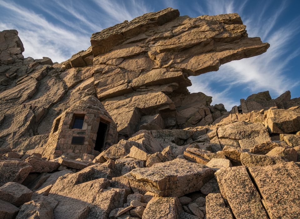
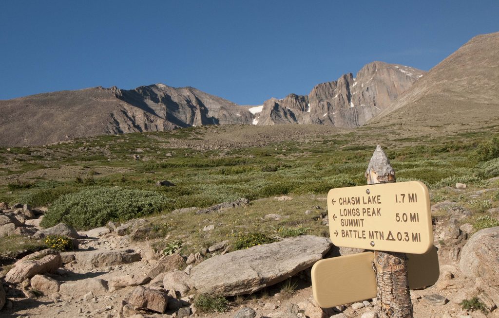
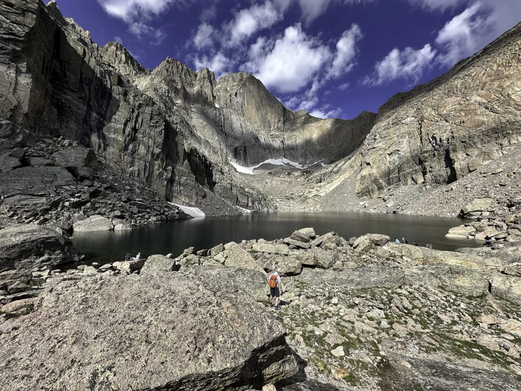
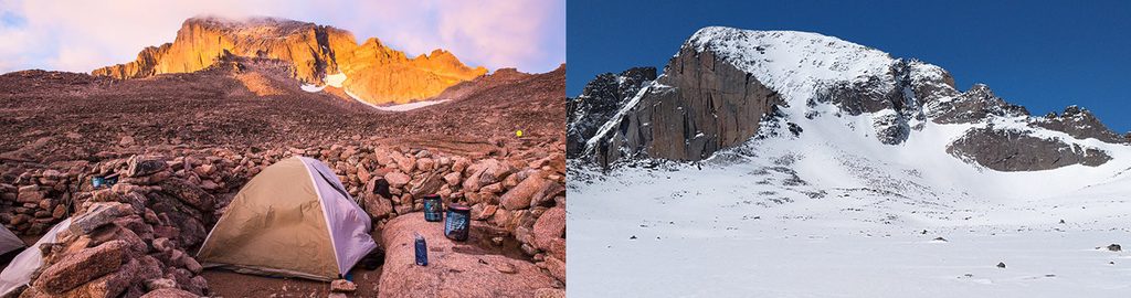
As you gain Granite Pass and move toward the Boulderfield, the alpine world takes over—huge granite blocks, sweeping views, and the unmistakable profile of Longs. If you venture to the Keyhole, you’ll see the historic Agnes Vaille Shelter and look through to the mountain’s wild west side—turnaround point for many on stormy or icy days.
Park inside RMNP near Sprague Lake or the Storm Pass area to access the Boulder Brook Trail; climb to Granite Pass and join the North Longs Peak Trail. Arrive very early; parking is limited and a seasonal shuttle can help.
High-elevation weather changes fast; afternoon thunderstorms are common. Above 10,000 feet expect lingering snow/ice—use traction if needed and be ready to turn back. Navigation can be tricky; don’t follow footprints. Rockfall and serious exposure exist beyond the Keyhole; helmets are common up high. Limited water above treeline.
Place · 0 mi away
Place · 0.2 mi away
Place · 1.6 mi away
Place · 1.7 mi away
Challenging · 0 mi away
Challenging · 0 mi away
Challenging · 0 mi away
Challenging · 0 mi away

Parkwolf Tour Guide
