
Place · 0.6 mi away
Moderate
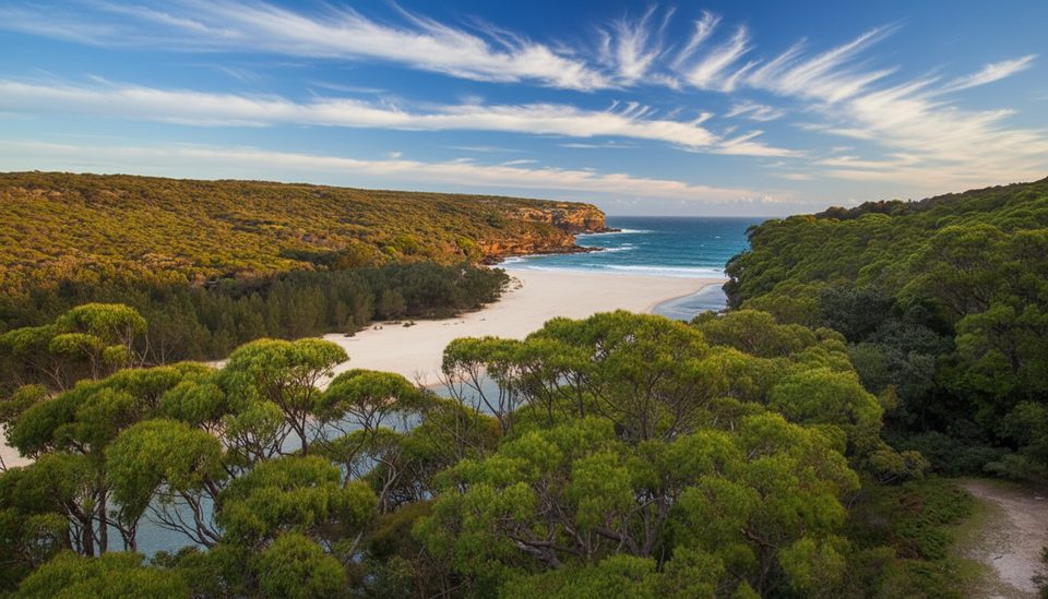
This northern slice of the Coast Track runs one way from Bundeena to Wattamolla, about 10 km/6.2 miles, and typically takes 5–6 hours with photo and swim stops. Expect a well‑formed path that mixes boardwalk, coastal heath, sandstone rock platforms, and long beach stretches. It’s officially on the challenging side thanks to sand walking, stairs, exposure, and a few short climbs, but most reasonably fit day walkers will be fine if they pace themselves.
Start near the corner of Eric Street and Beachcomber Avenue in Bundeena (small car park and a toilet). Early cliff‑top views arrive fast, followed by the photogenic Wedding Cake Rock—fenced off for safety, so enjoy it from behind the barrier. South of there, Little Marley and Marley Beaches deliver classic sand‑and‑surf walking and good picnic/swim options. Closer to the finish, detours around Curracurrang Cove and the Eagle Rock lookout area add drama before you drop into Wattamolla’s lagoon and picnic area. Facilities at Wattamolla include toilets, picnic tables, and a kiosk that operates seasonally—don’t rely on it.
There’s no public transport inside Royal National Park to Wattamolla, so plan a car shuffle or arrange pickup at the finish. A popular car‑free start: train to Cronulla, ferry to Bundeena, then a 15–20 minute walk to the Eric St/Beachcomber Ave trailhead. Carry all your water; there are no reliable drinking taps along this section. Vehicle entry fees apply in the park, and areas can close during severe weather or high fire danger.
This walk works year‑round, but start early on hot days—there’s plenty of sun exposure. May–October adds a bonus: migrating humpback whales offshore. Weekends and holidays see busy car parks at Wattamolla; arrive early or carpool if you’re finishing there. For photos, morning light flatters the north‑to‑south coastline and the pale sandstone around Wedding Cake Rock.
Stay behind cliff‑edge barriers (especially at Wedding Cake Rock) and watch rock platforms after rain or swell. The sand trudges can be deceptively tiring—budget extra time. Download offline maps in the NSW National Parks app; reception can be patchy. Pack sun protection, a light wind/rain layer, and enough food and water for the full 10 km one‑way.
Still feeling strong? Continuing past Wattamolla toward Garie Beach makes the day about 16 km, or save it for another visit. The full Coast Track between Bundeena and Otford (about 26–27 km) is typically done over two days with a pre‑booked campsite; for this day section, no permit is required.
Start at the small car park near Eric St & Beachcomber Ave in Bundeena (toilet available). Finish at Wattamolla picnic area with a large car park that fills early on weekends/holidays; vehicle entry fees apply. No public transport inside the park—arrange a car shuffle or pickup.
No drinking water along the route; significant sun and heat exposure; cliff edges and fenced lookouts (stay behind barriers); rock platforms can be slippery after rain or swell; check park alerts for closures.
Place · 0.6 mi away
Place · 0.9 mi away
Place · 1 mi away
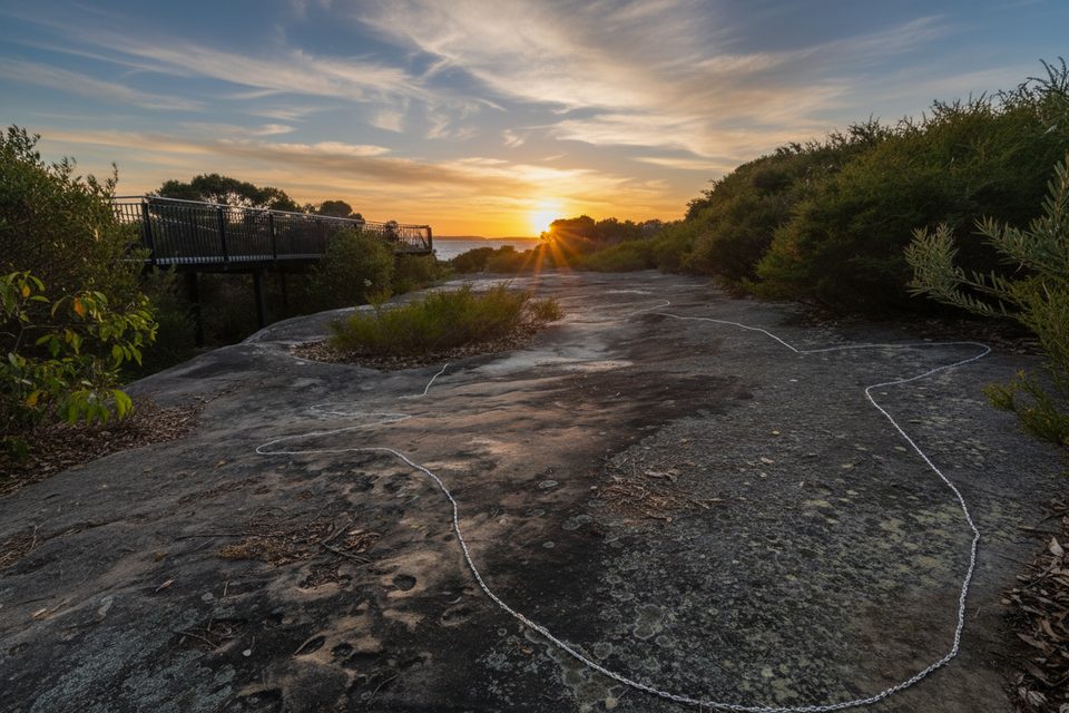
Place · 1.1 mi away
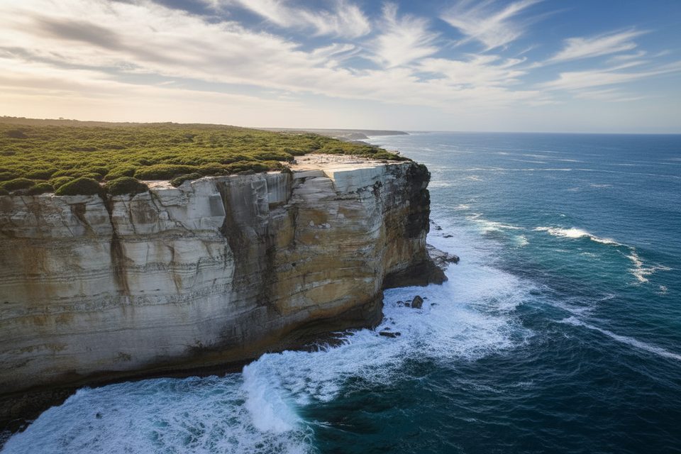
Moderate · 0 mi away
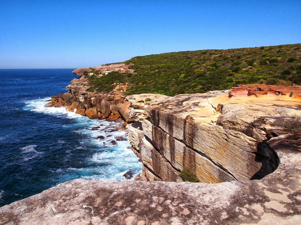
Moderate · 0.2 mi away
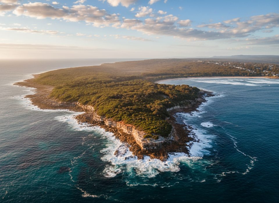
Easy · 0.6 mi away

Easy · 0.9 mi away

Parkwolf Tour Guide
