Parking
Start at the Coast Track trackhead and mapped carpark on Beachcomber Avenue in Bundeena. The walk ends at Otford Station, so arrange transport between the two ends before setting out.

#1 of 69 trails in Royal
Royal National Park, NSW
A 27 km coast crossing through beaches, cliffs and rainforest.
Overview
Map & elevation
Plan your hike

The highest, rockiest slopes around here are a summer buffet for grizzly bears.
Royal Tour Guide
Parkwolf is a GPS audio tour guide for Royal National Park. As you drive, it chimes in with what’s ahead: hidden gems, upcoming stops, history, geology, and wildlife, right through your car’s speakers.
See the Royal audio tourRecorded for this trailhead
Bundeena Coast Track to Wedding Cake Rock“You're approaching the Coast Track start in Bundeena, where you can walk to Wedding Cake Rock. Allow about two and a half hours return over rough sandstone, boardwalk and stairs, with cliff views along the way.”
Plays as you drive up to this trailhead in the Parkwolf Royal Tour Guide.
More stories near here in the app
“Fantastic app with many points of information… It’s great to just turn on while you’re driving and it gives you an audio tour of the national Park. We love it!!!!”


Trail guide
The Coast Track is a 27 km (16.8 mi) point-to-point walk from Beachcomber Avenue in Bundeena to Otford Station. It follows Royal National Park’s coastal edge through sandstone headlands, sandy beaches, heath and forest, then finishes in shaded coastal rainforest and cabbage-tree palms. This is the park’s big walk, not a quick lookout stroll: it is Grade 4, with long exposed stretches, sandstone steps and substantial climbs. The published stage estimates add to about 10 hours on foot. The planned itinerary splits it over two days with Garie Beach as the overnight stop. If that is more than you want, choose a shorter section and return the way you came rather than expecting the full route to loop back.
The Coast Track starts at Beachcomber Avenue. Use the toilet and refill water there; it is the last confirmed drinking-water refill before Garie. Bring enough food and water for the whole section, plus sun protection and sturdy shoes. The route is exposed to sun and wind in places, and the track has uneven sandstone underfoot. Garie Beach has water, but it is untreated and needs treatment before drinking. Pets are not permitted in the park except certified assistance animals.
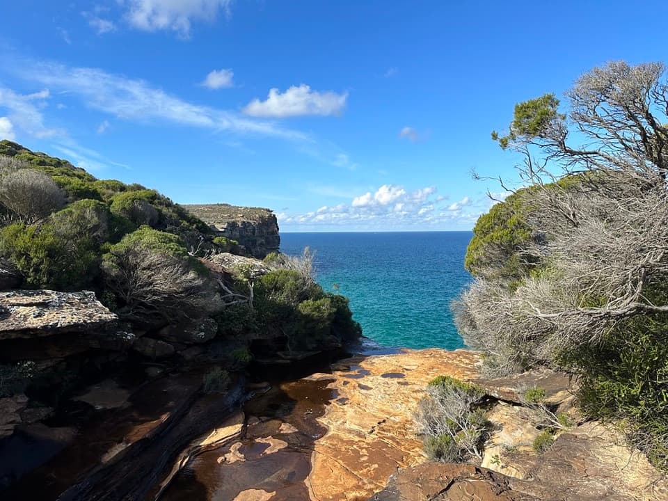
The northern stage is 17 km and takes at least 7 hours. It leaves the Bundeena streets for sandstone escarpments, coastal heath and forest, with sandy beaches and open ocean between the headlands. Wedding Cake Rock and the Marley beaches are early highlights; the pale rock is fragile, so enjoy it from the established track instead of climbing out for a closer view. At cliff lookouts, keep a strip of sandstone in the foreground so the sea cliffs read as a real drop rather than just another blue horizon.
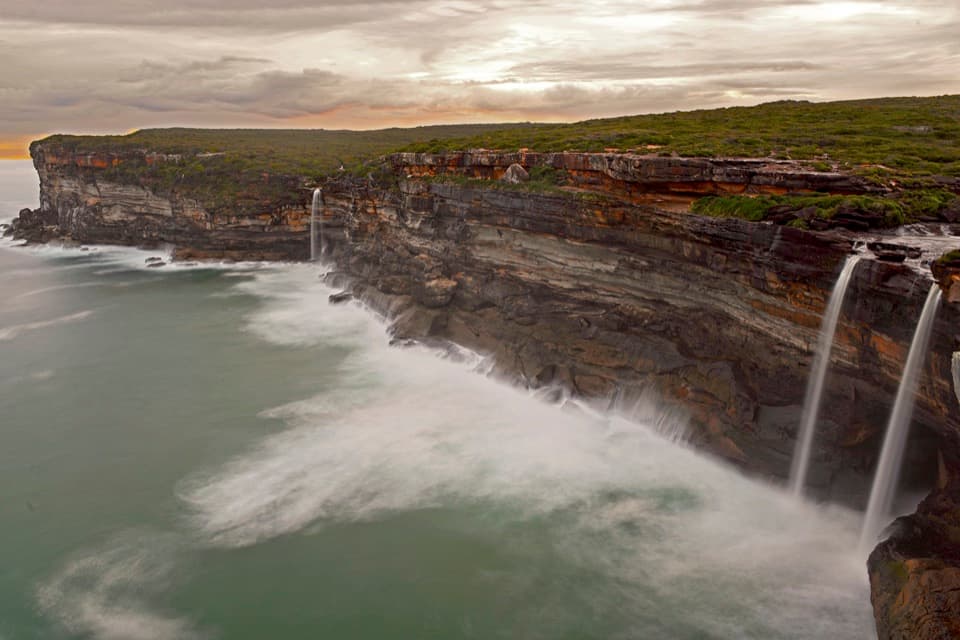
Wattamolla is a useful break on the northern section, with a beach and picnic area if you want time by the water. Farther south, the Coast Track opens above Curracurrang Cove and Eagle Rock lookout. This is a good stretch to slow down: the cove, headlands and surf are the reason to walk this much coastline, and they keep changing as the path crosses heath and drops back toward the shore.
Garie Beach marks the end of the 17 km first stage and is the natural place to rest, swim or split the walk. The campground has limited capacity and requires an advance booking. Its raised timber platform fits two small one-person tents or one two-person tent. Campers can use the picnic-area toilets and cold beach showers; the water there is untreated. Carry your own food and plan water treatment rather than counting on a shop or a potable tap.
The southern stage is 10 km and is estimated at about 3 hours, but it starts with quite a bit of uphill climbing. The route passes the pastel heritage shacks at North Era, then continues toward Burning Palms Beach. Those small beach houses date to the 1930s and are part of the coast’s old shack landscape, not visitor accommodation. After the open headlands and beach, the walk turns into cooler shade through coastal rainforest and cabbage-tree palms. Ridge Trail carries the final stretch to Otford Station.
The open headlands make the walk a good place to watch for migrating humpback whales in the cooler months, and seasonal wildflowers bring colour to the heath. Neither is guaranteed on a given day. If you can’t arrange transport between Bundeena and Otford, the track can also be sampled from Bundeena, Wattamolla, Garie Beach, Garawarra Farm or Otford; walk a few kilometres and turn back from the same access. That gives you a real slice of the coast without committing to a 27 km through-hike.
Wildlife
 56 sightingsHumpback WhaleMost seen around 11 AMSighting map
 70 sightingsWhite-bellied Sea-EagleMost seen around 9 AMSighting map
 12 sightingsKoalaMost seen around 6 PMSighting map
 34 sightingsJavan RusaMost seen around 6 PMSighting map
 70 sightingsShort-beaked EchidnaMost seen around 5 PMSighting map
 11 sightingsRed FoxMost seen around 5 PMSighting map
Sighting maps show where each species has been reported across Royal. Wildlife moves, so no sighting is guaranteed.
Keep exploring
 EasyFisherman’s Cave Walk2 km · 1 hr · At the trailheadA cliffside cave house with ocean views and an exposed finish
 ModerateWedding Cake Rock Track5.6 km · 2.5 hr · At the trailheadCoastal walk to a fragile rock, viewed safely from behind the fence.
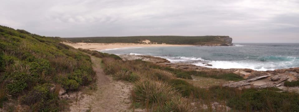 ModerateBundeena to Marley Beaches10.6 km · 3.5 hr · At the trailheadTwo remote beaches after a cliff-top walk through coastal heath.
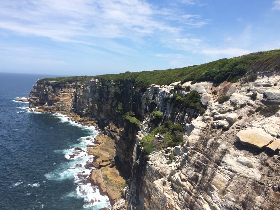 ModerateWedding Cake Rock and Big Marley Circuit7.7 km · 3 hr · At the trailheadCoastal cliffs, a sculpted sandstone shelf, and Marley beach views
 ModerateBundeena to Jibbon Head Circuit7.5 km · 2.5 hr · 1 km awayBeach, headland engravings and a quieter sandy return in one circuit.
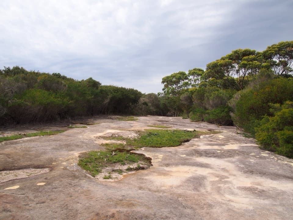 EasyJibbon Head Engravings Walk2.6 km · 1.3 hr · 1.2 km awayA beach walk to a whale carved in Dharawal sandstone.
 EasyJibbon Loop Track5.2 km · 2 hr · 1.2 km awayA sandy beach, Dharawal engravings and a rugged headland in one loop.
 ChallengingGreat South Coast Walk Stage 01: Bundeena to Wollongong63 km · 20 hr · 1.2 km awayThree days from sandstone cliffs to the Wollongong waterfront.
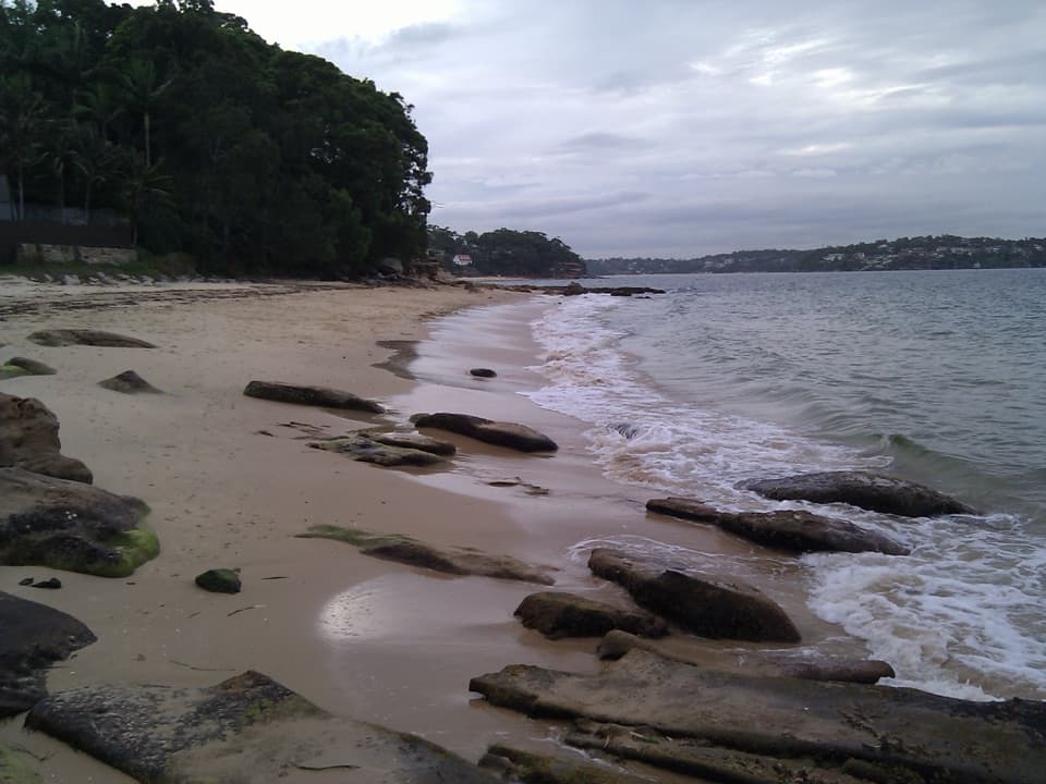 Beach · 1.1 km awayGunyah BeachA Bundeena beach of sand pockets and rocky shelves.
 Sight · 1.2 km awayBundeena WharfA ferry landing for Jibbon walks and Dharawal rock engravings.
 Beach · 1.3 km awayHorderns BeachBundeena's sandy waterfront, steps from the ferry and village.
 Beach · 1.3 km awayJibbon BeachAn 800-metre crescent, with a Dharawal cultural site beyond.
 Beach · 1.8 km awayShelley BeachA quiet cove of sand and rock pools off Jibbon Head.
 Sight · 1.9 km awayJibbon Rock EngravingsA beach-and-bush walk ends at a protected Dharawal engraving site.
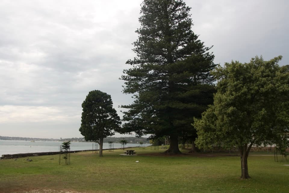 Picnic area · 1.9 km awayBonnie Vale Picnic AreaA shady picnic lawn beside sheltered water for swims and paddles.Sight · 2 km awayWedding Cake RockA fragile white landmark reached along a rugged coastal walk.
Parkwolf’s Royal ranking

The audio tour guide for the drive, plus offline maps, trails, and wildlife heatmaps for when the signal drops.