
Place · 0 mi away
Easy

An easy, close‑to‑Sydney ramble that strings together sandy foreshore, mangrove–saltmarsh boardwalks, and a cheeky estuary wade, this loop is more about variety than views. It’s roughly 3.6 miles (5.8 km) total with ~177 ft (54 m) of gentle gain, and most walkers take 1–1.5 hours.
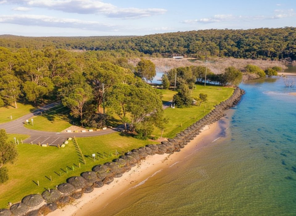
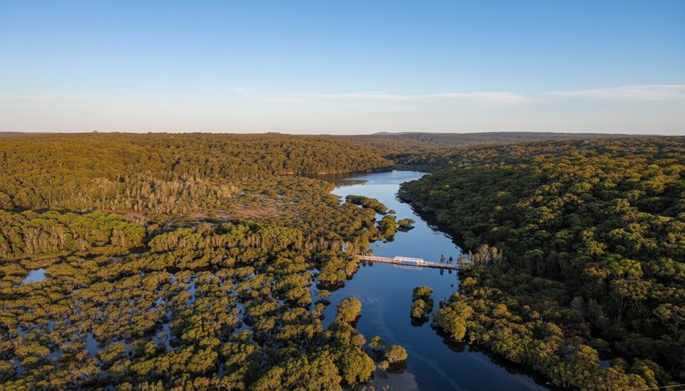
Start at Bonnie Vale and meander the boardwalk through coastal wetlands toward Maianbar. You’ll skirt the Hacking River foreshore, swap planks for beach walking, then time an estuary crossing at the Maianbar end. Expect to get your feet wet—this crossing is part of the fun and the main variable on the day. From there, continue the loop along the shoreline back toward Bonnie Vale. If you’re itching to go longer, you can link with other signed tracks nearby.
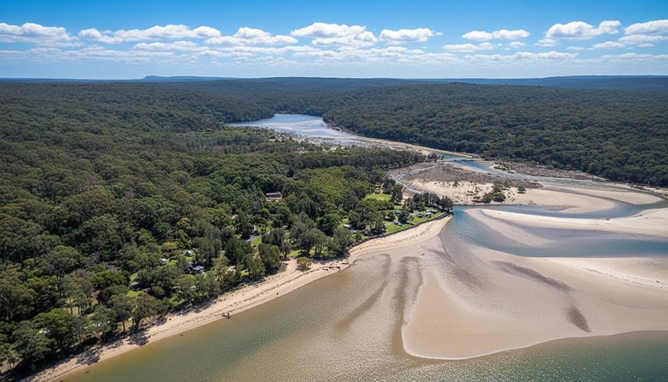
The charm here is the ecosystem mash‑up: saltmarsh and mangroves on the boardwalk sections, then estuarine sands and beaches along the Hacking River. You’re in classic northern Royal National Park country—think Sydney Basin sandstone landforms with weathered rock shelves and dune‑backed shores. Keep an eye on the wetlands for subtle seasonal changes, and know that the area supports deer (active management occurs nearby).
The single biggest factor is the tide. Aim for a low‑tide window so the Maianbar crossing is safe and ankle‑to‑knee deep rather than a no‑go. Early or late in the day gives kinder light on the wetlands and beach. On days with a Total Fire Ban, walking tracks in the park are closed; plan around those days and always recheck park alerts before you go.
Royal National Park sits about 45 minutes south of central Sydney. You can drive and park at Bonnie Vale, or reach the Bundeena side via train to Cronulla and the ferry across Port Hacking, then walk to the start. Footwear that’s fine in saltwater and sand pays off here, along with sun protection and water.
Park at Bonnie Vale picnic area near the campground entrance; start the loop on the boardwalk toward Maianbar.
Plan the Maianbar estuary crossing for low tide (expect to wade). All walking tracks close on Total Fire Ban days. Night closures for deer control operate Mon–Thu between sunset and sunrise until 19 December 2025 around Bonnie Vale and the Bundeena/Maianbar area.
Place · 0 mi away
Place · 0.3 mi away
Place · 1 mi away

Place · 1.1 mi away

Easy · 0.7 mi away
Moderate · 0.9 mi away
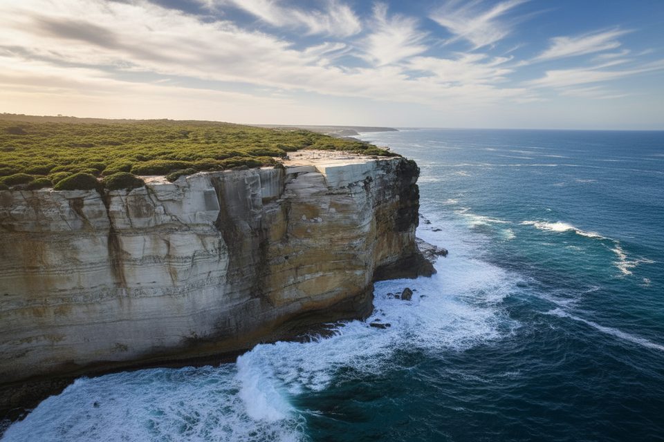
Moderate · 0.9 mi away
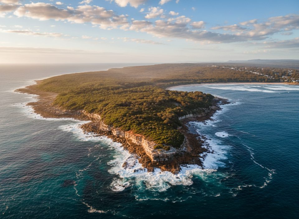
Easy · 1 mi away

Parkwolf Tour Guide
