
Place · 0.6 mi away
Moderate
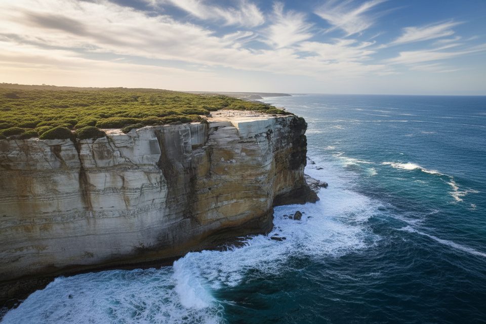
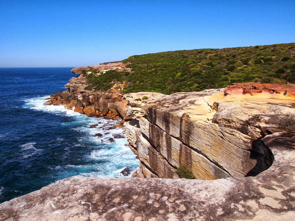
This loop strings together the famous (and fenced) Wedding Cake Rock with the broad, breezy headlands around Big Marley. Expect cliff‑top boardwalks and rocky paths with constant Tasman Sea views. Wedding Cake Rock’s brilliant white sandstone is white because iron has leached out, leaving it unusually soft—one reason it’s now fenced and off‑limits after a 2015 geotechnical check found it severely undercut and at risk of collapse.
Plan on a loop of about 7.7 km (4.8 miles) starting from Bundeena’s Beachcomber Avenue trailhead. Follow the Big Marley Fire Trail to reach Marley, then turn north onto the Coast Track past Wedding Cake Rock to close the loop. Prefer a simpler day? The out‑and‑back to Wedding Cake Rock alone is roughly 8.9 km (5.5 miles) total. Either way, signage is good, but the Marley side can feel rougher and slower with sandy stretches.
Yes, you’ll stop at the Wedding Cake Rock lookout—but the best scenery is the sweeping cliff lines and the Big Marley dunes and beach beyond the crowds. In season you might spot migrating whales or pods of dolphins from the headlands. Keep an eye out for snakes; hikers report occasional brown snake sightings along the walkway.
The start is at the end of Beachcomber Avenue in Bundeena. Street parking is common and tight on busy days; there’s also a very small dirt pull‑off near the start with a toilet and bubbler. If you’re car‑free, take a train to Cronulla and the ferry to Bundeena, then walk to the trailhead. The Coast Track here is rough, often steep and rocky, with limited phone reception and no water or bins along the track—carry everything. Expect an unbridged creek near Marley and, after rain, muddy and overgrown sections. Beaches in the park are unpatrolled and can have strong rips.
Stay behind the fence at Wedding Cake Rock—cliff edges are unstable. The track may close on total fire ban days; check park alerts before you go. Drones aren’t allowed for general recreational use, pets aren’t permitted (assistance animals excepted), and smoking is prohibited in the park.
Crowds spike late morning to mid‑afternoon, especially on weekends. Go early for easier parking, cooler temps, and softer light. November to March can be hot and exposed; start early, pack sun and wind protection, and plenty of water. Cooler months often bring whale sightings. If surf or weather looks dicey, keep beach time short and stick to the clifftop track.
If you’re here just for a photo on the rock, you’ll be disappointed by the fence. Come for the coastal walking and make it a loop to Big Marley—you’ll get bigger views and fewer people than at the lookout.
Street parking near the Beachcomber Avenue trailhead in Bundeena; tiny dirt pull‑off with toilet and bubbler at the start. Park entry fee applies if you drive into Royal National Park (about $12 per vehicle).
Wedding Cake Rock is fenced and unstable—do not cross barriers. Steep, rocky sections with limited phone reception; unbridged creek near Marley; track may close on total fire ban days. Unpatrolled beaches with strong rips. No drones, no pets, no smoking.
Place · 0.6 mi away
Place · 0.9 mi away
Place · 1 mi away
Place · 1.1 mi away
Moderate · 0 mi away
Moderate · 0.2 mi away
Easy · 0.6 mi away

Easy · 0.9 mi away

Parkwolf Tour Guide
