
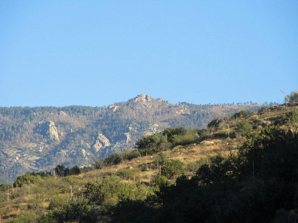
Place · 0.9 mi away
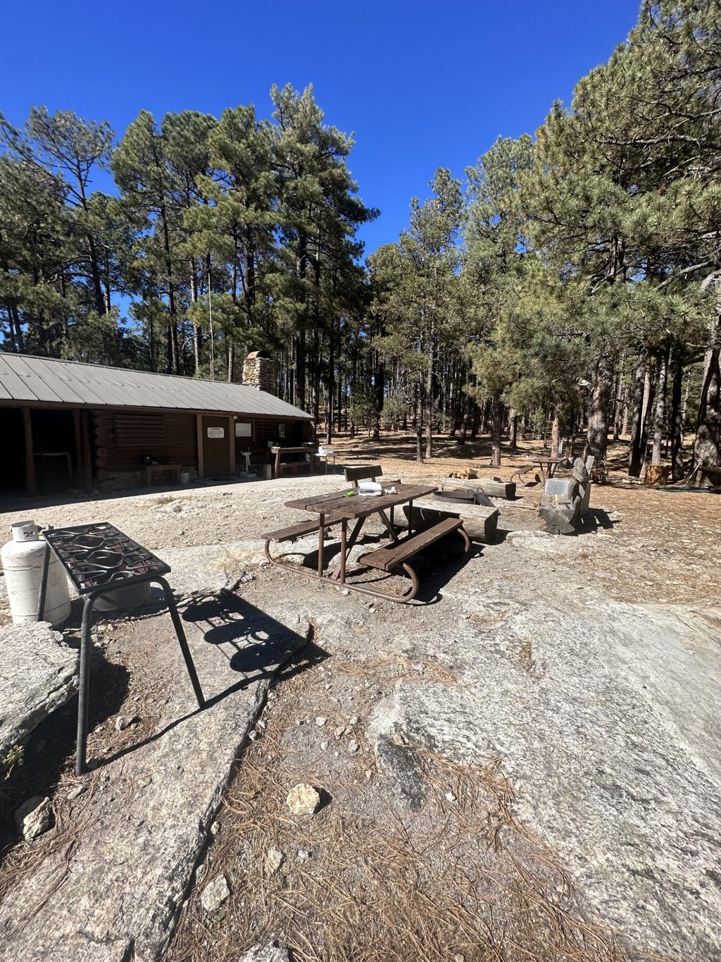
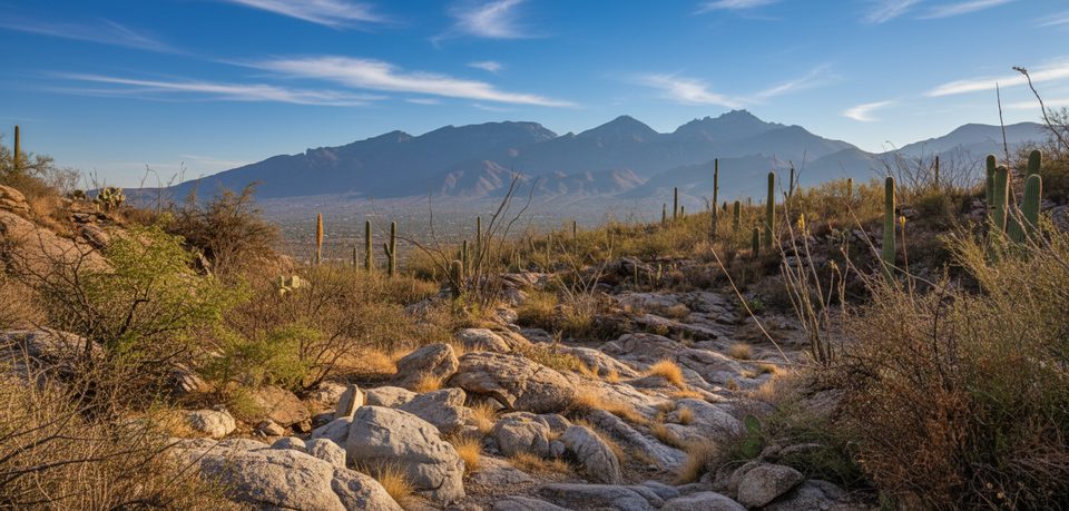
Perched around 7,920–8,000 feet in the Rincon high country, Manning Camp Campground trades saguaros for towering pines and crisp mountain air. This is classic sky‑island backpacking: a long, hot climb from desert washes into cool forest, with temperatures often 15–20°F lower than Tucson and summer highs rarely topping the mid‑80s.
The historic Manning Cabin (built in 1905 by former Tucson mayor Levi Manning) sits nearby and serves park staff; it’s not open to the public. Expect six designated tent sites tucked among the trees—quiet, shaded, and far from any road.
This is hike‑in only—no vehicle access. Routes range from about 7.5 miles (Turkey Creek) to as much as 18 miles one‑way, with 3,500–6,500 feet of cumulative gain. East‑side trailheads like Turkey Creek and Miller Creek are reached via rough, often unmaintained roads that commonly require high‑clearance 4WD and can be impassable after storms. A west‑side approach via Tanque Verde Ridge is longer but has straightforward trailhead access and parking.
Trails are steep and rocky in places; trekking poles help. Start early to beat the heat on lower, exposed miles.
A short walk takes you to a helispot with sweeping views over the Tucson basin—prime for sunset if you have the energy.
A perennial spring near the cabin is a standout feature and has reportedly only dried up twice in park history. Treat or filter all water. The cabin tap is usually off and not for public use. Even with a reliable spring, carry ample capacity; other camps and approaches can be dry.
This is bear and mountain lion country—store all food and scented items properly and follow encounter guidance. Bees are possible. Weather swings quickly at elevation: nights can dip below 40°F well into late spring, and winter storms bring snow. Summer monsoon cells can arrive fast; don’t push flooded crossings. Cell service is spotty—ridges with line‑of‑sight toward Tucson or Benson are your best bet.
A backcountry permit is required for each site per night. Camping is allowed only in designated backcountry campgrounds (no dispersed or vehicle camping). Fires are permitted here in established rings; follow any seasonal fire restrictions.
Backpackers who want a hard‑earned, high‑country base with shade, reliable water, and big‑view sunsets. It’s also a key stop for long‑distance travelers passing through on the Arizona Trail.
Place · 0.9 mi away
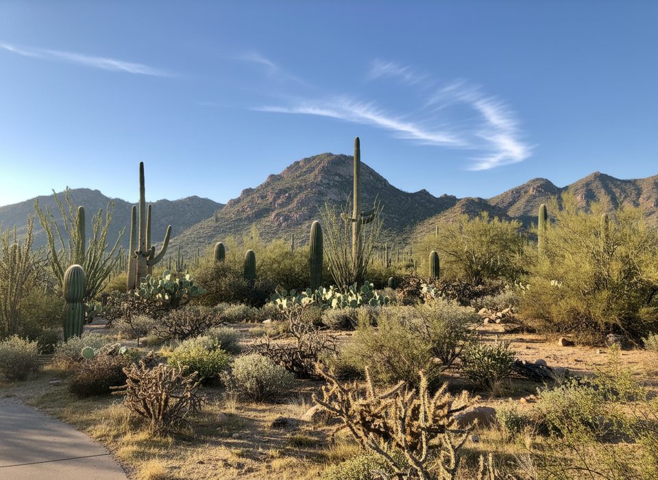
Place · 1.1 mi away
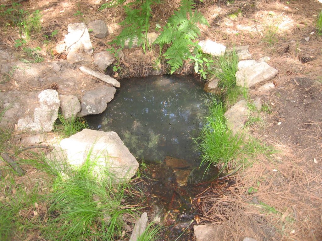
Place · 1.3 mi away
Place · 2.7 mi away
Easy · 7.8 mi away
Challenging · 8 mi away
Challenging · 8 mi away
Moderate · 8 mi away

Parkwolf Tour Guide
