Mica Mountain

Remote highpoint with cool pines; best views near Spud Rock
Mica Mountain, Saguaro National Park
InsideSaguaro National Park

Overview

Mica Mountain is the roof of the park at 8,666 feet in the Rincon Mountain District. You won’t drive this one—every route is a genuine backcountry effort—but the reward is a classic sky-island transition from desert to oak–pine woodlands and mixed conifer forest. It’s a great heat escape in warm months and can even see snow in winter.

Routes and Difficulty

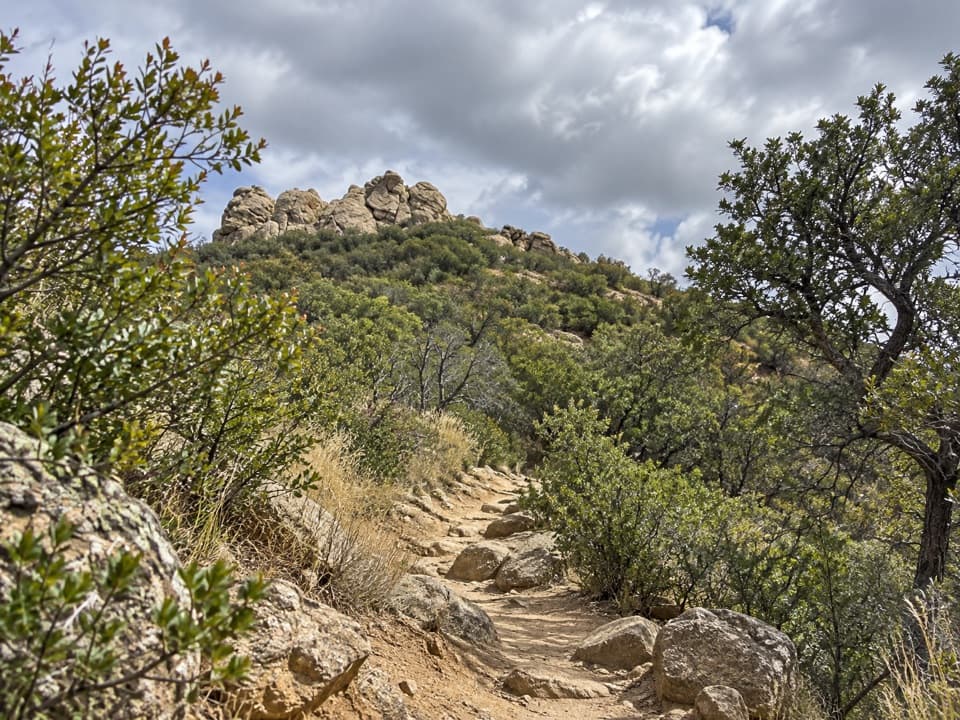
There are several ways up, all committing. From the Douglas Spring side, expect a very long day or a backpack; the full Mica Mountain out-and-back clocks in around 26+ miles with over 6,000 feet of gain and gets noticeably steeper after Douglas Spring Camp. Other common approaches link Loma Alta/Hope Camp to Grass Shack and up to Manning Camp, or Tanque Verde Ridge from the Javelina Picnic Area. The Happy Valley side (Turkey or Miller Creek) is shortest to a campground but requires rough, high-clearance driving and can be impassable when wet. However you go, start early—water is limited and climbs are sustained.

What It’s Like Up Top

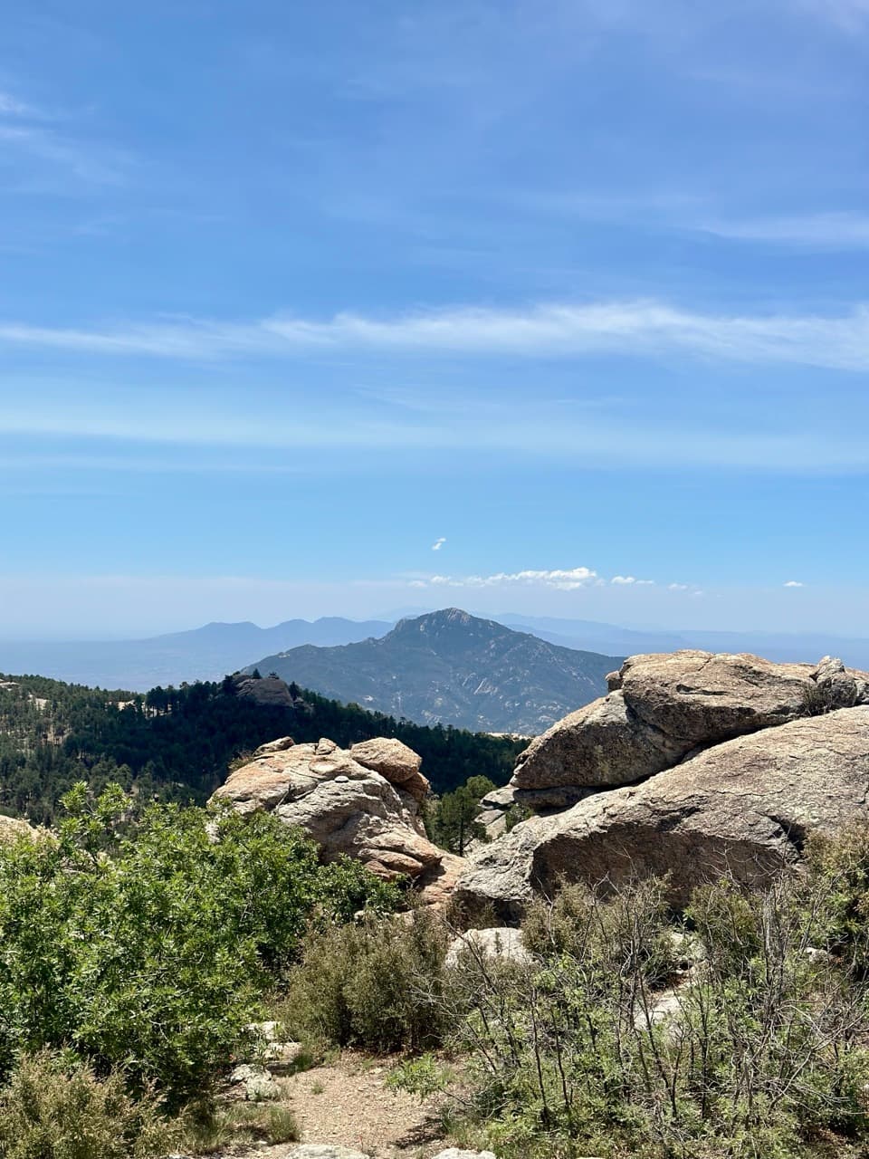
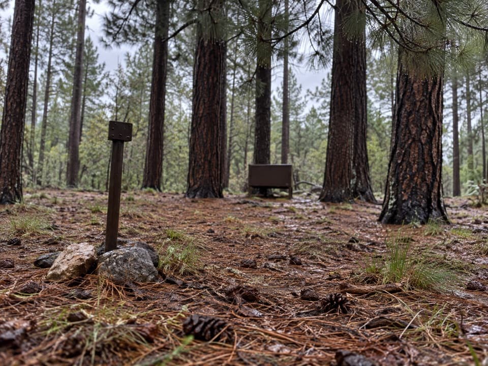
The upper mountain shifts into cool, shaded forest. Don’t expect a grand panorama from the true summit—trees block most sightlines. For views, detour to nearby Spud Rock, which opens up big vistas. Wind is common, and the thin air is noticeable this high.

Backcountry Camping and Water

Designated backcountry campgrounds make a multi-day push very doable:

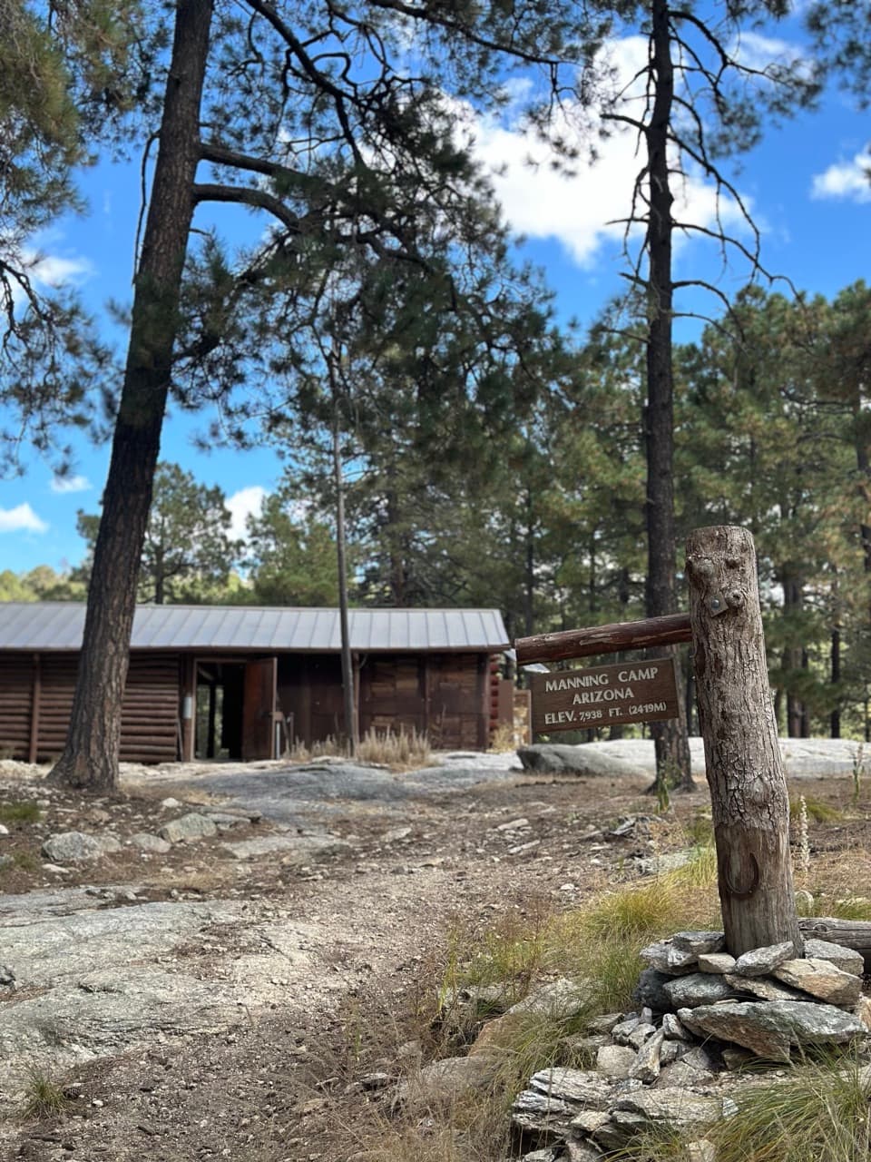
  • Manning Camp (~7,900–8,000 ft): 6 sites; typically reliable perennial water, but plan conservatively in drought.
  • Spud Rock Spring (~7,400 ft): 3 sites; seasonal water; composting toilet; cool pine/aspen setting.
  • Douglas Spring (~4,800 ft): 3 sites; very seasonal trickles; no campfires.
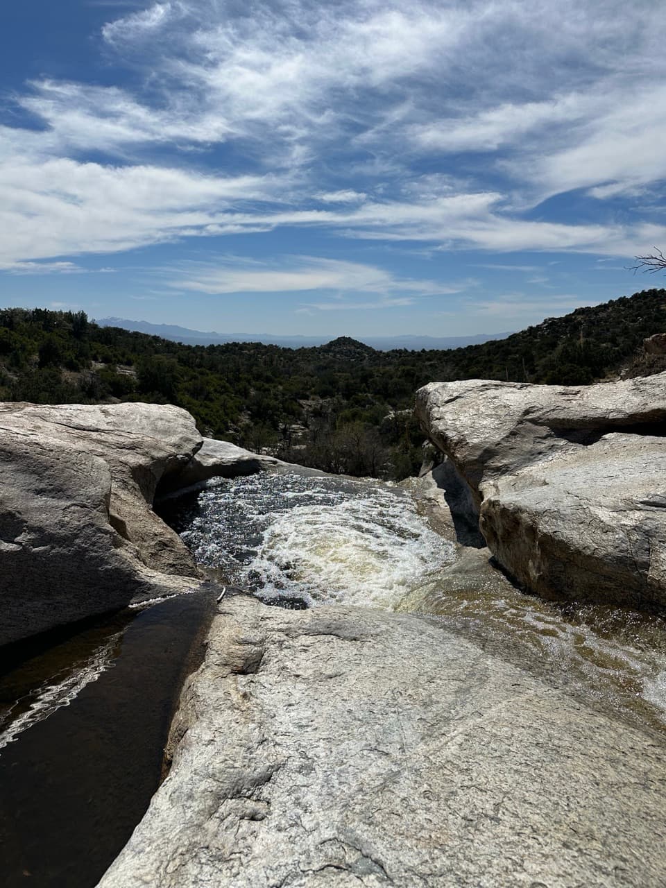
  • Grass Shack (~5,200 ft): 3 sites; Chimenea Creek usually flows; no campfires.
  • Juniper Basin (~6,000 ft): 3 sites; water highly seasonal.
  • Happy Valley Saddle (~6,200 ft): 3 sites; water only during wet periods.

Backcountry permits are required (per-site nightly fee; max 6 people per site). No vehicle camping anywhere in the park. Carry at least 1 gallon per person per day (more in heat) and treat all surface water. Always call the Rincon Mountain District visitor center for current water conditions before you go.

Wildlife and Ecology

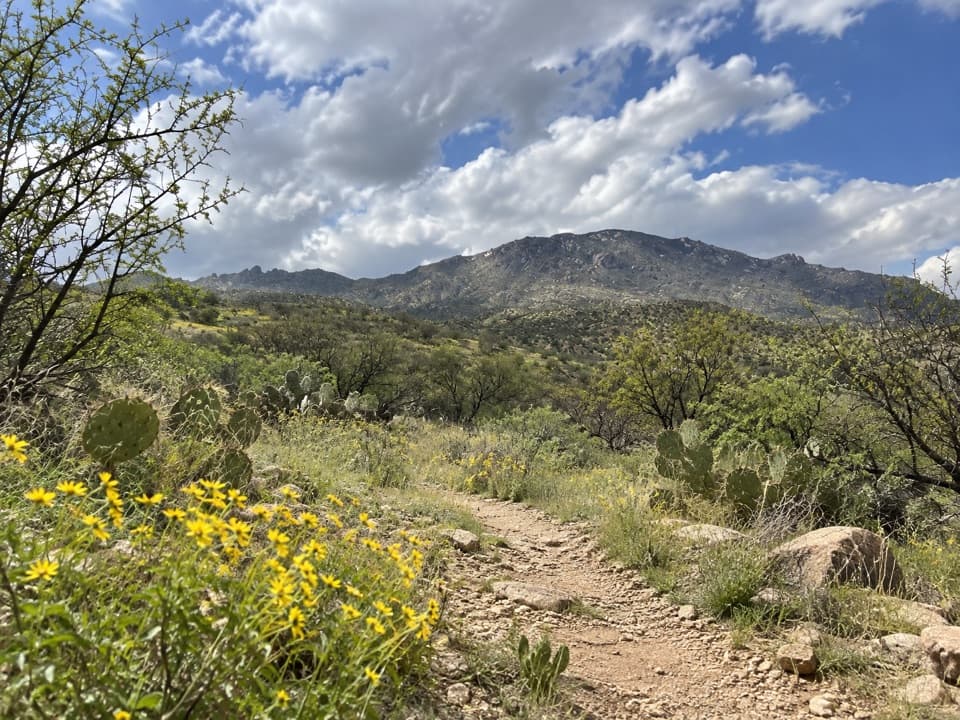
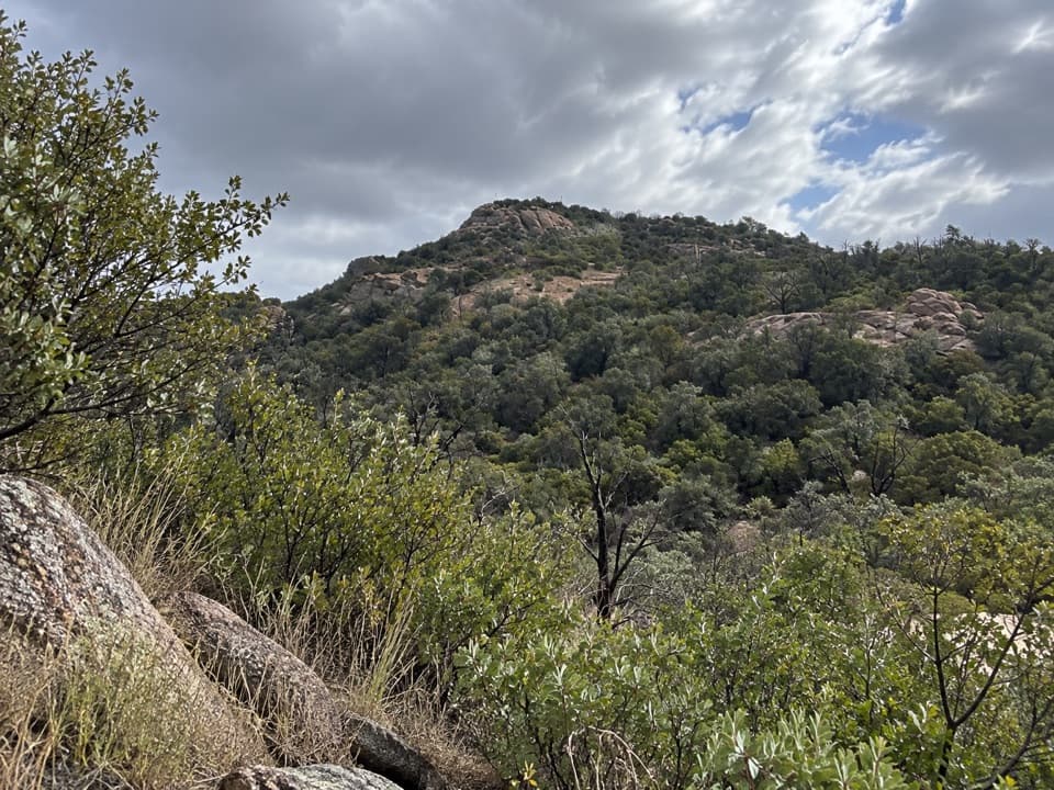
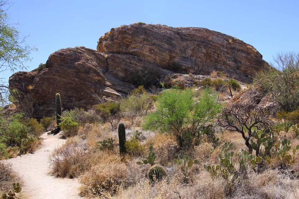
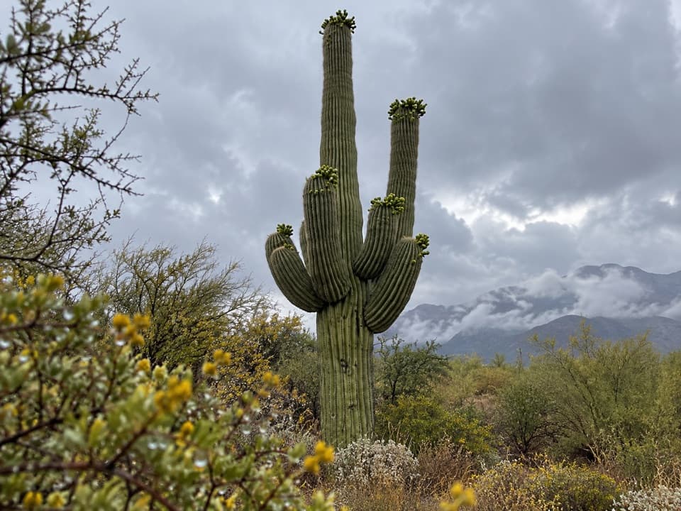
This is classic sky-island country: older saguaro stands give way to desert grasslands and then oak and pine, topping out in mixed conifer—an entirely different feel from the low desert. Cooler temps and forest shade make the upper mountain inviting, especially in summer.

Best Time to Visit

November through March is prime for big mileage without brutal heat. In warmer months, begin at dawn and finish late; expect very little water on the way up. Roads within Cactus Forest Drive (for approaches that use it) operate on limited daylight hours—check current gate times and any trail advisories with the park before committing.

Planning Notes

  • The Arizona Trail traverses the mountain, and it’s a handy, well-worn corridor on some approaches.
  • Fires are prohibited at lower camps like Douglas Spring and Grass Shack; follow current regulations elsewhere.
  • Visitor centers are the smart last stop for restrooms, information, and filling bottles before you hit the trailheads.

Bottom line: if you want sweeping summit views, tag Spud Rock; if you want the park’s most immersive backcountry and a true high-country vibe, Mica delivers.

Pros

  • Highest point in the park with a cooler pine-forest feel
  • Backcountry camp network (Manning, Spud Rock, Grass Shack) supports multi-day trips
  • Multiple approach routes; the Arizona Trail crosses the mountain

Cons

  • Very long, strenuous approaches (often 10+ miles one way)
  • Forested summit has limited views; Spud Rock offers better vistas
  • Water is scarce/seasonal along routes—plan to carry and treat

Tips

  • Start at dawn and budget for a very long day or plan a backpacking itinerary.
  • Carry at least 1 gallon per person per day and treat all surface water.
  • Call the Rincon Mountain District visitor center for current water reports at camps.
  • Detour to Spud Rock for the best vistas; the true summit is mostly treed in.
  • Happy Valley approaches require high-clearance and can be impassable when wet.
The Parkwolf tour guide sitting on a phone mounted in a car

Parkwolf Tour Guide

Like a tour guide in your car.

Save the places you found around Saguaro, then let Parkwolf guide the drive between them.Download Parkwolf on the App Store