Parkwolf Tour GuideThe highest, rockiest slopes around here are a summer buffet for grizzly bears.
Saguaro Tour Guide
Saguaro, narrated.
Parkwolf is a GPS audio tour guide for Saguaro National Park. As you drive, it chimes in with what’s ahead: hidden gems, upcoming stops, history, geology, and wildlife, right through your car’s speakers.
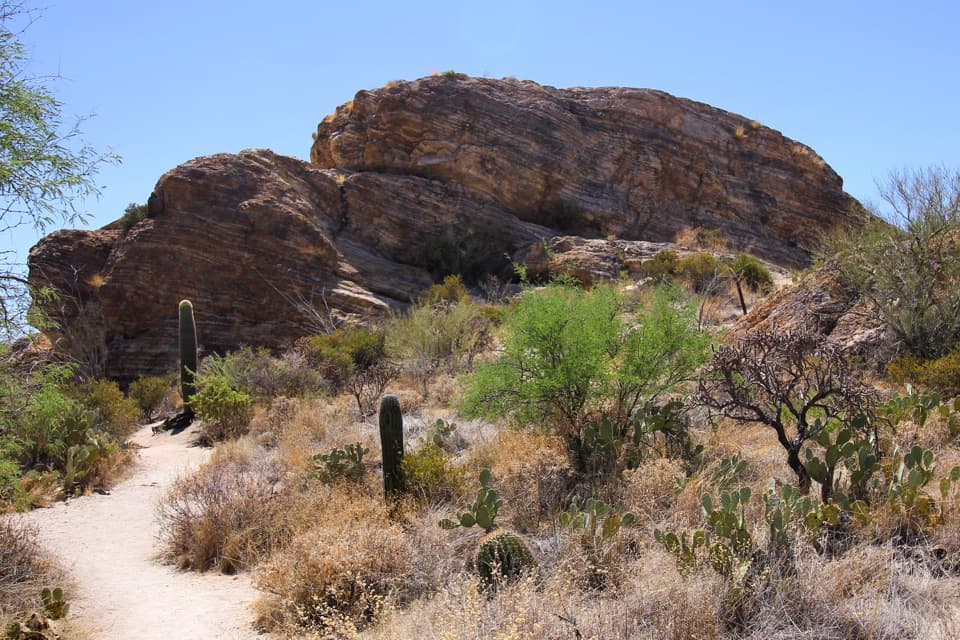
“You're approaching Signal Hill, where more than two hundred Hohokam petroglyphs cover the dark boulders. Keep this stop if you want a little history alongside the cactus scenery.”
Plays as you drive up to Signal Hill in the Parkwolf Saguaro Tour Guide.
More stories near here in the app
How Javelinas Recognize Family
The Packrat’s Time Capsule
Hawks That Hunt Together
Valley View Overlook
43 audio storiesacross Saguaro’s roads, triggered by GPS as you drive
Wildlife heatmapsfor Black Bear, Mountain Lion, Mule Deer, and 13 more
Works offlinemaps, 74 trails, 40 places, and audio download before you lose signal
CarPlay readysimple controls built for the drive
★★★★★
“Fantastic app with many points of information… It’s great to just turn on while you’re driving and it gives you an audio tour of the national Park. We love it!!!!”
ClosureTucson Mountain District road closuresSeveral Tucson Mountain District roads are closed; follow posted closures and use McCain Loop to bypass the Kinney Road closure.Official details
CautionVehicle break-ins reported at trailheadsVehicle break-ins have occurred at King Canyon Trailhead and other park trailheads; secure your vehicle and valuables.Official details