
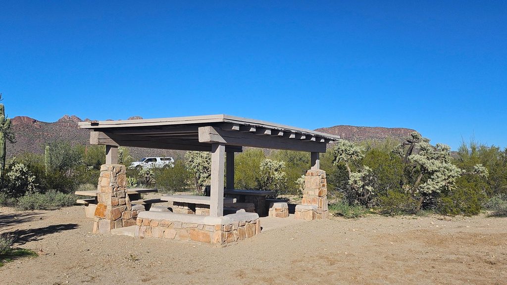
Place · 2.6 mi away
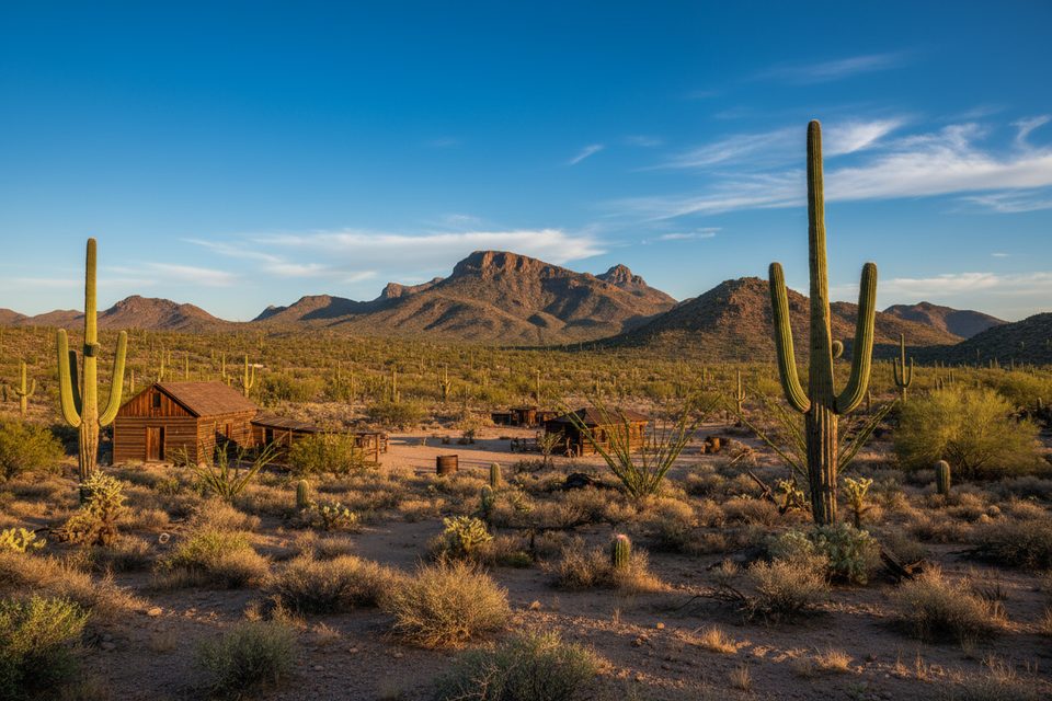
Yuma Mine sits in the Tucson Mountain District and tells a gritty chapter of the park’s mining past. It’s a classic Sonoran Desert hike to a historic site—except the workings themselves are fenced and signed. Treat this as a history-and-geology stop you observe from outside the fence, not a place to poke around.
Getting here typically involves hiking from the King Canyon Trailhead, then picking up Sendero Esperanza and an old mining road spur. The round trip is roughly 3 miles. The last stretch can feel faint in spots—stay alert for the worn tread and any posted signs. Expect two things at the end: a fence with no‑trespassing notices and closures that are enforced. Enjoy the view, then turn back the way you came.
You’ll spot remnants of historic workings—multiple shafts, old structures, and mining hardware—set in rugged volcanic hills. Do not cross fences or approach openings. National Park Service guidance for Abandoned Mineral Lands is simple: stay out and stay alive. Collecting rocks or minerals is prohibited in national parks.
The Tucson Mountains are the eroded rim of an ancient caldera. Magma and mineral‑rich fluids once coursed through fractures here, concentrating metals like lead, silver, copper, and vanadium. Yuma Mine became known for showy minerals such as vanadinite and wulfenite in addition to lead ores. Today it’s a closed site that illustrates how the park’s fiery geologic past drew miners into these hills.
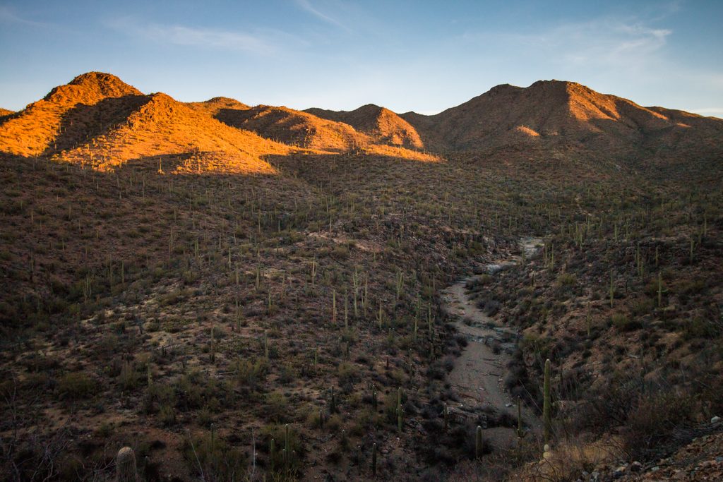
You’re in classic Sonoran habitat, so keep an eye out for lizards, birds, and—seasonally—snakes and other desert critters. Give all wildlife space and watch where you place hands and feet near rocks and brush.
October through April is the sweet spot for temperatures and hiking comfort. Start at sunrise for cooler air, softer light on the saguaros, and better wildlife activity. Summer heat is no joke; thunderstorms and lightning ramp up July–September. Midday light is harsh for photos; morning or late afternoon is better.
Place · 2.6 mi away
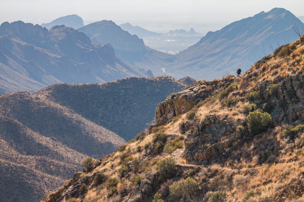
Place · 3.2 mi away
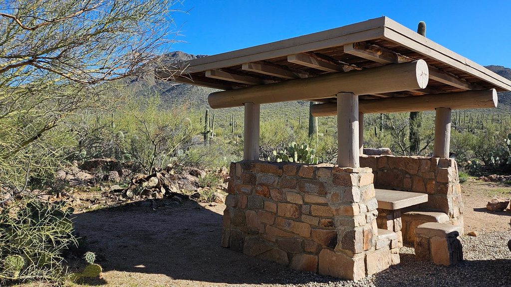
Place · 3.4 mi away
Place · 4.6 mi away
Easy · 2.6 mi away
Moderate · 3.4 mi away
Easy · 5.1 mi away
Moderate · 5.4 mi away

Parkwolf Tour Guide
