
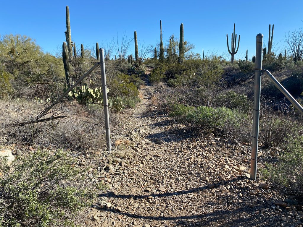
Place · 0.4 mi away
Moderate
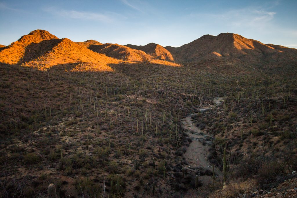
King Canyon is the most direct, classic route to Wasson Peak, the high point of the Tucson Mountains. Expect a steady, rocky climb through a dense saguaro forest to a 4,687-foot summit with wraparound views of Tucson and the Red Hills. The out-and-back runs about 6.9–7.2 miles total with roughly 1,800 feet of gain, and most hikers take around 4 hours.
From the King Canyon Trailhead, you’ll quickly encounter a split between the main trail (right, above the wash) and the sandy King Canyon Wash (left). They reconnect later, so either works. For a more interesting day and friendlier descent, turn the hike into a loop: ascend King Canyon, then descend via the Hugh Norris ridge and Gould Mine segments to avoid King Canyon’s steeper, looser sections on the way down. A common full loop variant is roughly 7.7–7.9 miles with a similar total gain. Note that signs to “Wasson Peak” don’t appear until you’re near the top, and there’s a false summit along King Canyon—save a little gas for the final push.
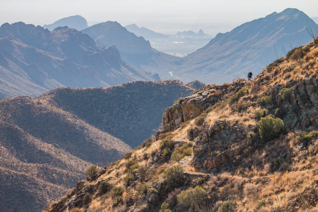
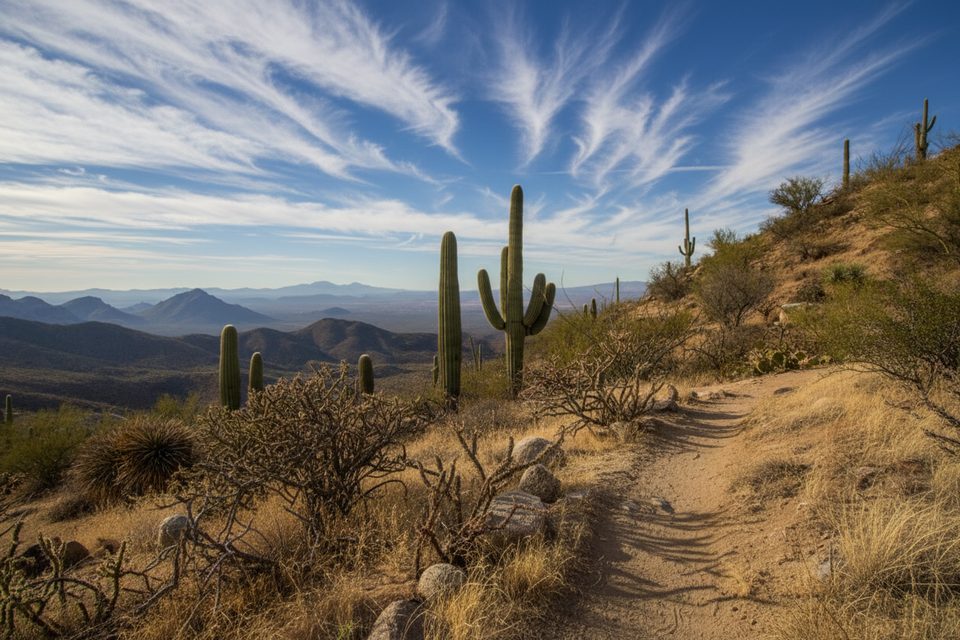
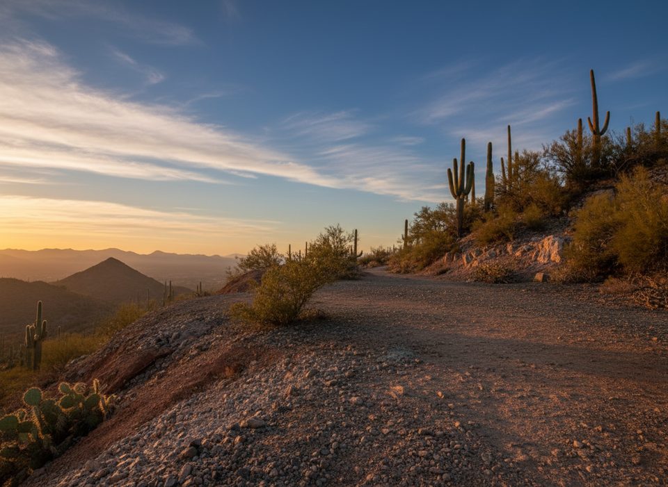
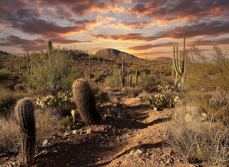
This is a saguaro showcase, with photogenic giants from the first steps and long, airy ridgelines near the summit—prime sunrise or late-afternoon light. You’ll pass old mining relics and fenced shafts around the Gould Mine area if you do the loop. In season, watch for spring wildflowers like owl clover and Mexican goldpoppies, ocotillo blooms in spring to early summer, and saguaro blooms in late spring. On a clear day the 360-degree summit panorama over Tucson and the surrounding ranges is the payoff.
Park at the King Canyon Trailhead on Kinney Road just beyond the Arizona–Sonora Desert Museum. The lot is small and fills early. There are no restrooms or water at the trailhead; the West District visitor center is about a mile up the road. You’ll start in Tucson Mountain Park and enter Saguaro National Park shortly up-canyon—dogs are not allowed on the national park segment. An entrance fee is required for Saguaro National Park.
Go November through March (into April for cooler mornings). There’s essentially no shade and heat is the main hazard, so start early, especially on weekends when parking is competitive. Wind can kick up along the ridges and near the summit; a light layer can be smart even on mild days.
Small lot at King Canyon Trailhead on Kinney Rd near the Arizona–Sonora Desert Museum; arrive early. Restrooms and water are at the West District visitor center about a mile away.
No shade and extreme heat much of the year; carry ample water and start early. Expect rocky, loose footing and potential strong winds on ridges. Junctions can be confusing; download an offline map. Bees may be present in the wash after moisture.
Place · 0.4 mi away
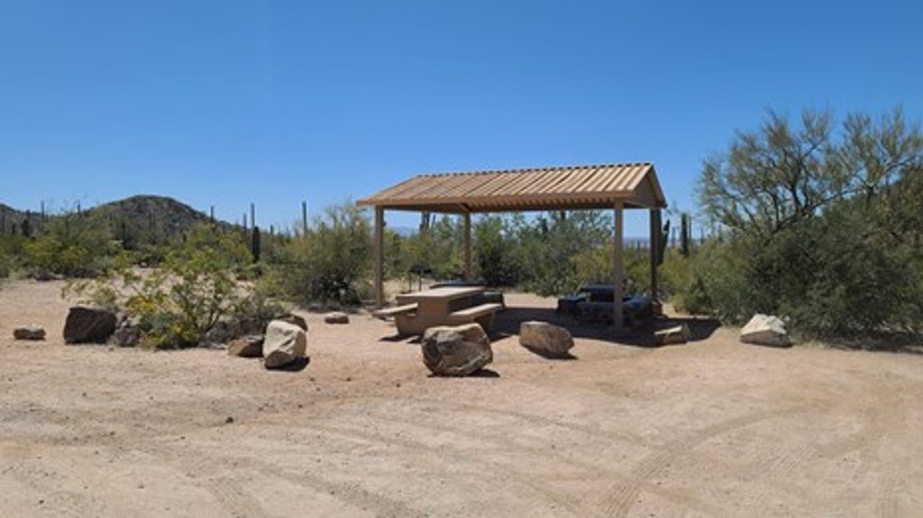
Place · 0.8 mi away
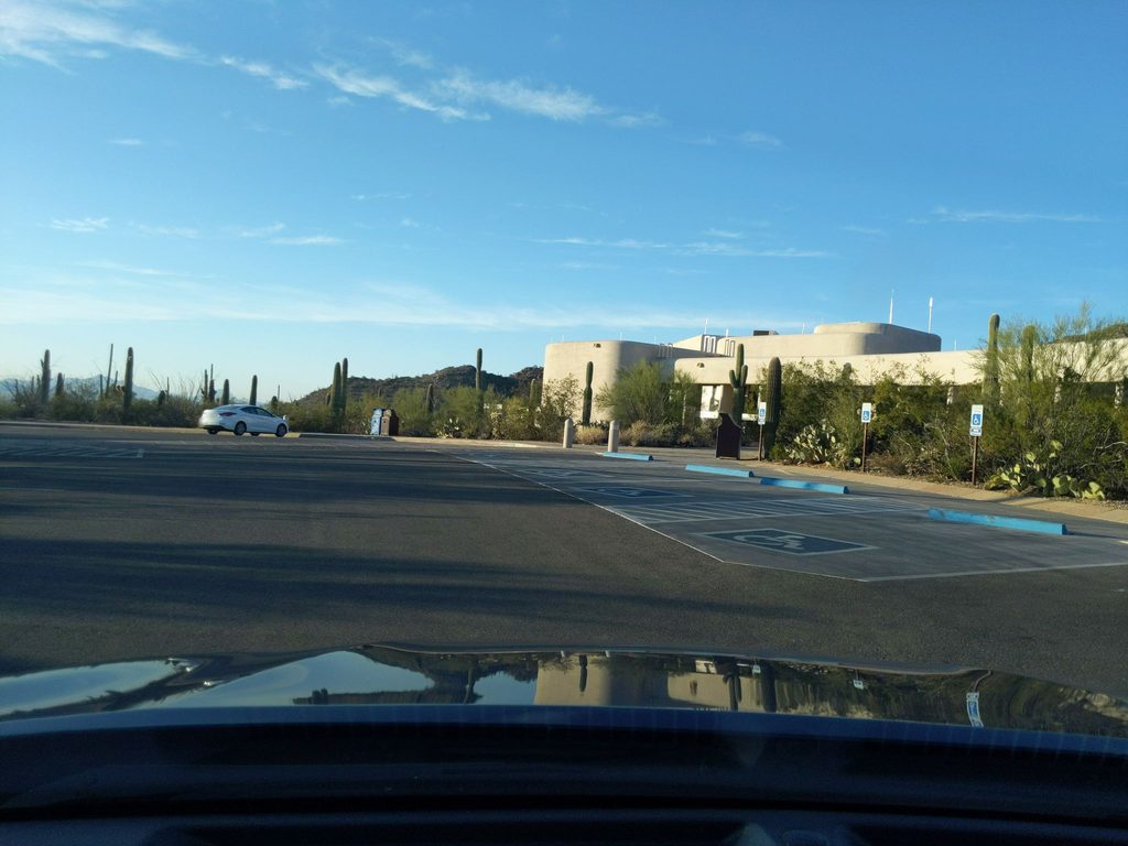
Place · 1.8 mi away
Place · 2.1 mi away
Moderate · 0 mi away
Easy · 0 mi away
Easy · 0 mi away
Moderate · 2.6 mi away

Parkwolf Tour Guide
