Pros & cons
PROS
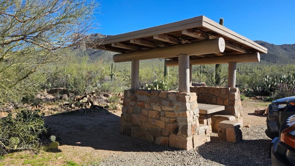
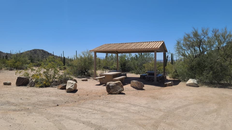
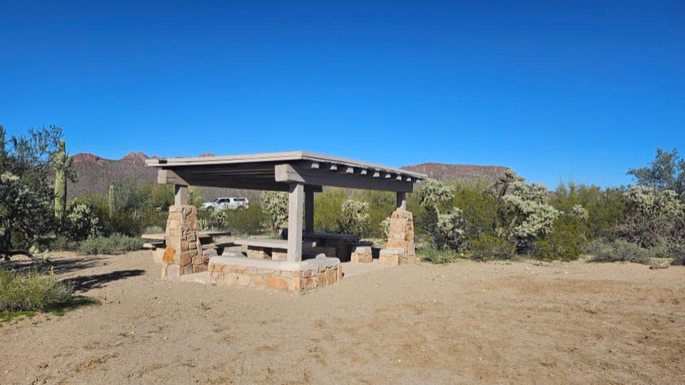
- Shaded ramadas with grills and a waterless restroom
- Easy paved-road access on Picture Rocks Road
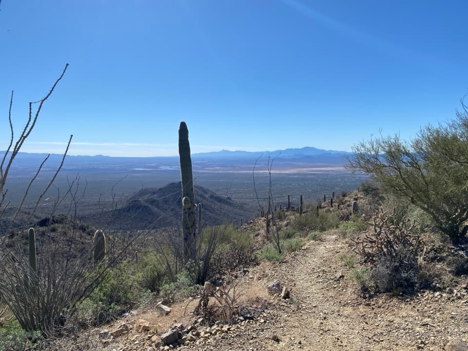
- Big views toward Panther and Safford Peaks
CONS
- Near a road, so you’ll hear some traffic
- Little shade on nearby trails; brutal midday heat in summer
Overview
Cam-Boh Picnic Area is a mellow desert pull-off for lunch and leg-stretching in the Tucson Mountain District (west side). It’s an easy stop off Picture Rocks Road with covered tables, grills, and a waterless restroom—basically everything you need for a low-key break amid saguaro country.
What Makes It Nice
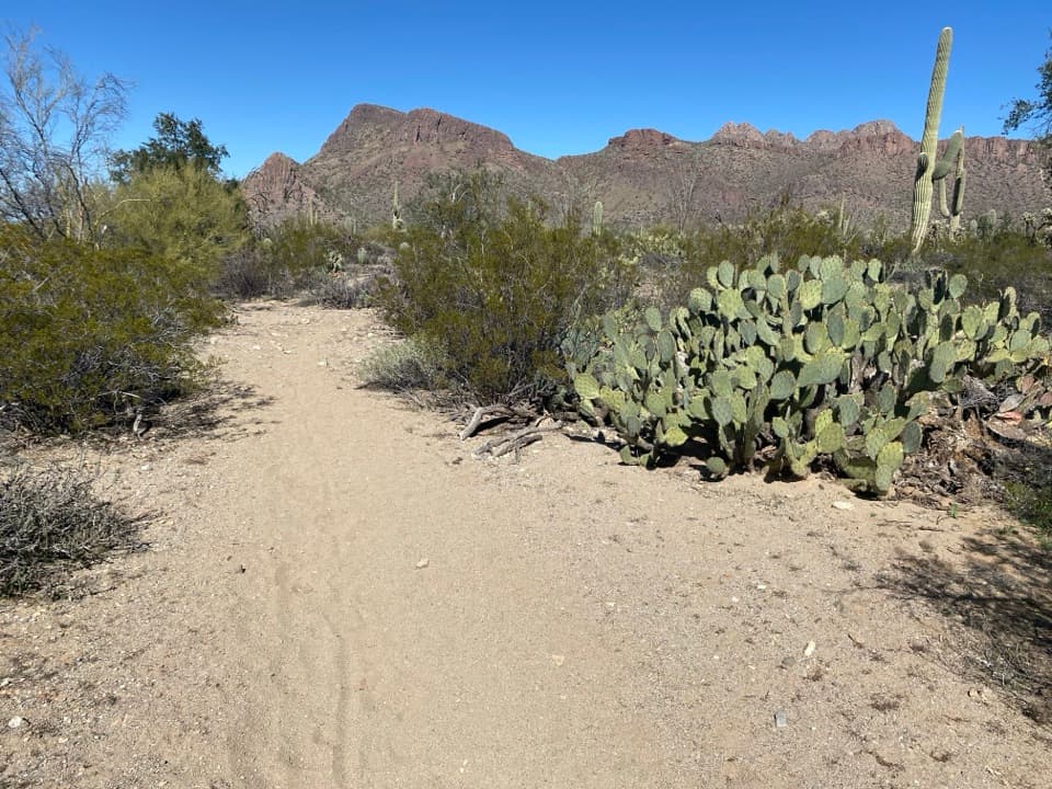
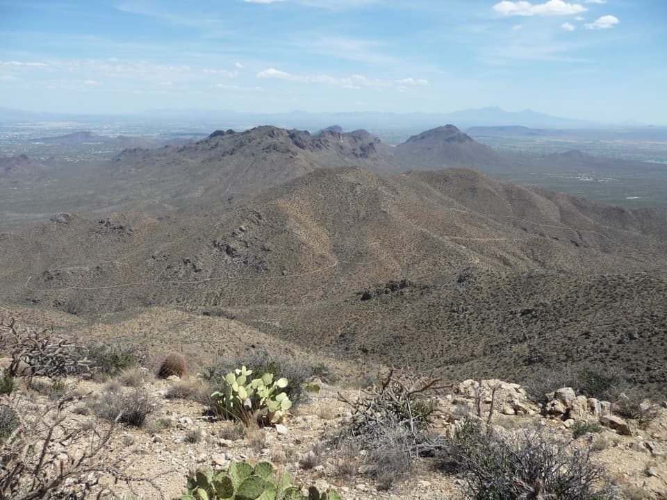
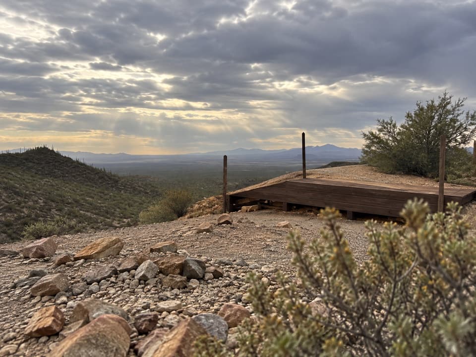
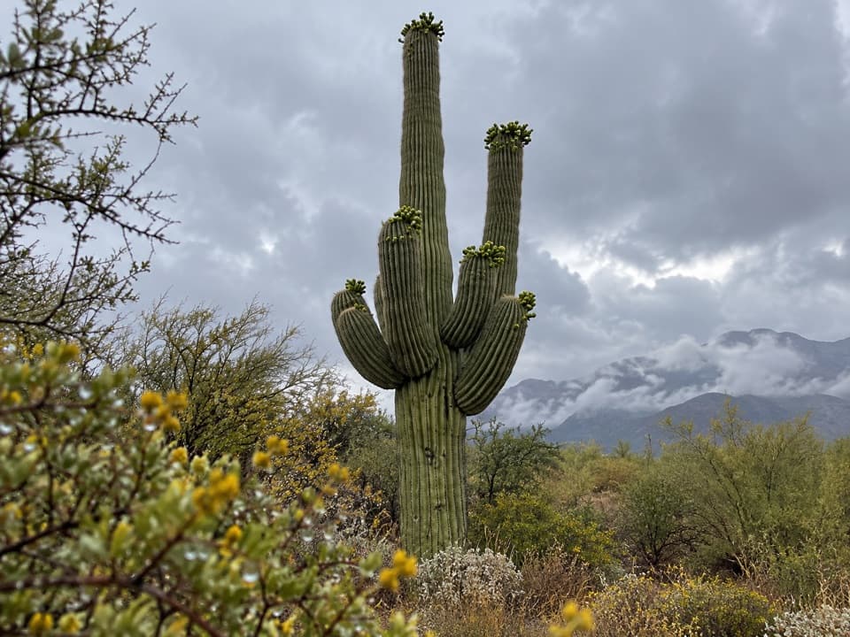
Expect classic Sonoran bajada scenery dotted with saguaros, cholla, and palo verde, plus wide views toward Panther and Safford Peaks to the north and the high country to the east. The shaded ramadas and grills (some CCC-era stonework) make it a genuinely comfortable pause when the sun is sharp.
Amenities & Layout
- Covered picnic tables and multiple grills under ramadas
- Waterless (vault) restroom and bear-proof trash can
- Medium parking area right at the site
It’s simple, clean, and usually calm—exactly what you want from a picnic stop.
Trails From Here
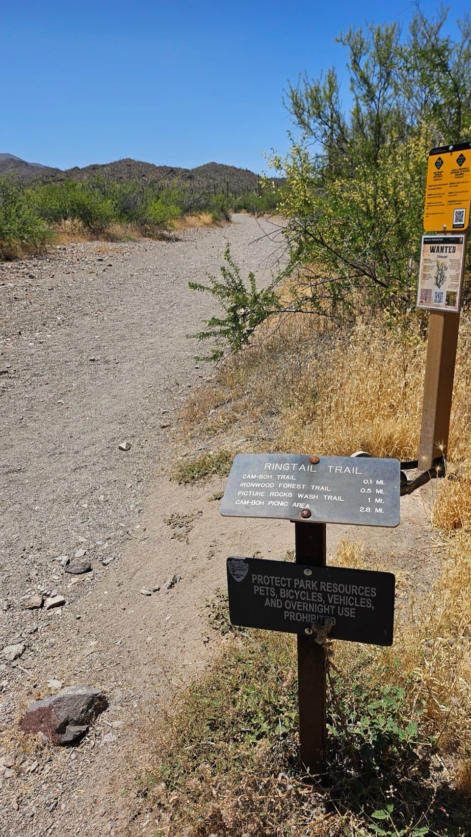
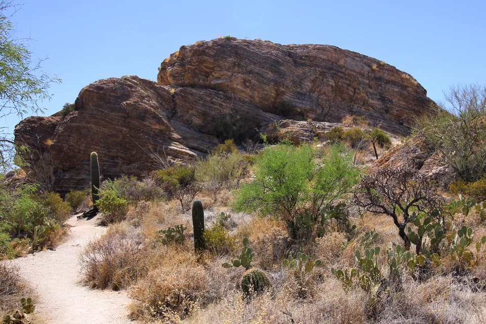
The Cam‑Boh Trail starts nearby and is an easy out-and-back, roughly 5 miles with about 232 feet of gain. It begins in a sandy wash (a bit slower underfoot), then climbs gently with sightlines to Panther Peak and the Santa Catalinas. Expect some rocky sections and metal signposts marking the way. You can also link to other nearby routes like the Esperanza Trail. Horses use the area—yield and give them space.
Geology & Setting
You’re standing on a bajada—an apron of eroded material radiating from the Tucson Mountains. Across Saguaro West, you’ll see jumbled volcanic rocks tied to an ancient caldera event and other layers that frame the rugged skyline. It’s a great place to appreciate the saguaro “forest” set against those volcanic bones of the range.
Wildlife
Dawn and dusk are the peak activity windows. Move quietly, scan wash edges and shady slopes, and watch your footing—snakes are part of this landscape. Give all wildlife plenty of space.
Best Time to Visit
September through May is prime. In summer, start at dawn, picnic early under the ramada, and be off the trail before the heat spikes. Weekends late morning to early afternoon can draw more visitors; early mornings on weekdays are typically quiet. Monsoon season adds flash‑flood risk in washes—keep an eye on forecasts.
Practicalities
- Entrance fee or a valid park pass is required.
- No dogs on the Cam‑Boh Trail.
- Bring more water than you think you’ll need, sun protection, and sturdy footwear (sand and rock). After storms, expect rougher road surfaces and avoid hiking in active washes.
Is It Worth Your Time?
If you want a convenient, shady picnic stop with genuine desert vibes and a casual hike option, Cam‑Boh is an easy yes. It’s not a marquee viewpoint, but as a comfortable base for a short wander among saguaros, it punches above its weight.
Where it is
32.3192, -111.1660Tips for Cam-Boh Picnic Area
- 01Hit the trail at dawn in warm months and picnic before the heat builds.
- 02The first mile of Cam‑Boh Trail is sandy—budget extra time and wear sturdy shoes.
- 03Watch summer monsoon forecasts; avoid hiking in active washes.
- 04If you start from the roadside bend access, use caution—traffic moves fast.
- 05Horses use this area; step off the trail and let them pass.
Amenities
Near Cam-Boh Picnic Area
All places →All trails →
0 mi awayCam-Boh TrailEasy desert stroll with big saguaro and a shady picnic payoffEasy · 5 mi · 1.7 hr
2.3 mi awayEz-Kim-In-Zin Picnic AreaShady CCC picnic nook with big saguaro views and trail accessRestroom · Parking
2.4 mi awaySendero Esperanza TrailSaguaro-studded climb to a ridge with big desert viewsModerate · 5.4 mi · 2.6 hr
2.6 mi awayYuma MineHistoric mine site fenced off; good for geology-minded hikers
3.2 mi awaySignal Hill Petroglyph SiteShort climb to 200+ Hohokam petroglyphs and desert viewsTrailhead · Restroom
3.2 mi awaySignal Hill TrailFast climb to ancient rock art and a wide, sunset-ready desert viewEasy · 0.3 mi · 30 min
3.3 mi awayWasson PeakHigh point of the Tucson Mountains with big desert viewsScenic Viewpoint
3.5 mi awayValley View Overlook TrailShort, easy stroll to a big Sonoran Desert sunset vistaEasy · 0.8 mi · 30 min