Pros & cons
PROS
- Highest point in the Tucson Mountains with 360-degree views
- Varied route options through classic saguaro-studded desert
CONS
- Little to no shade; heat can be intense outside winter
- Bugs can swarm near the summit in warmer months
Overview
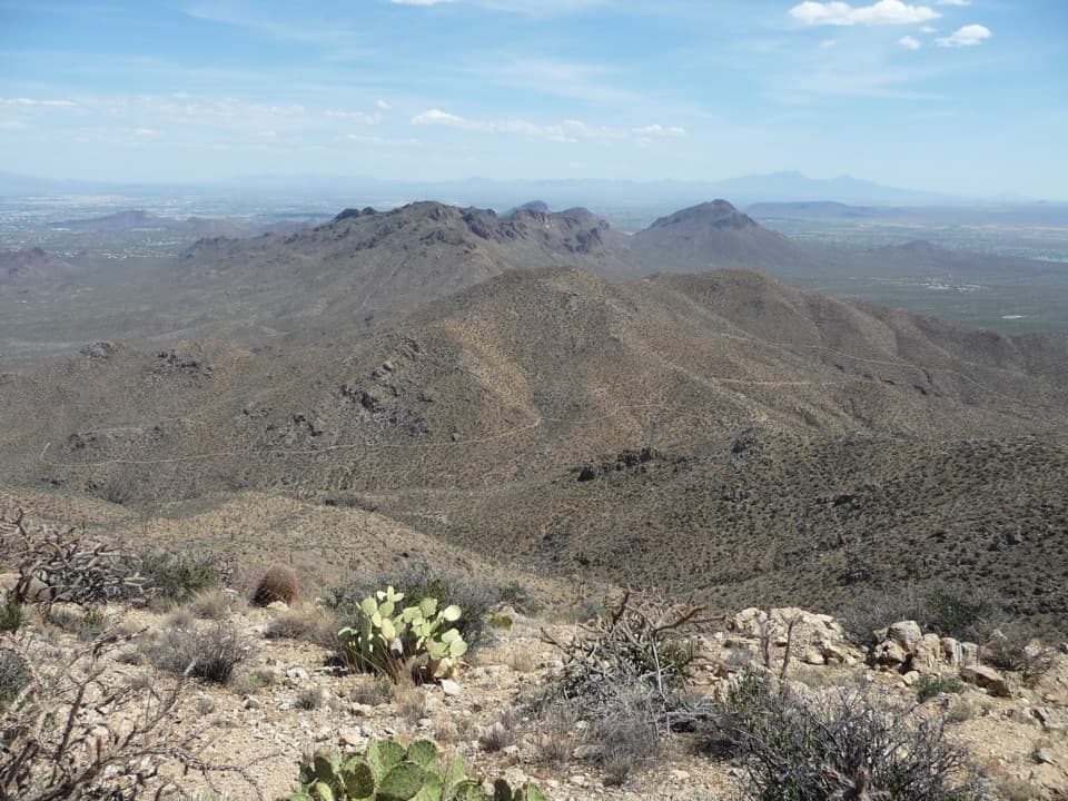
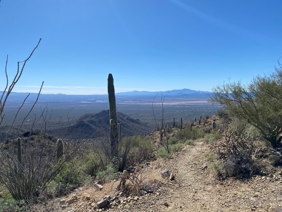
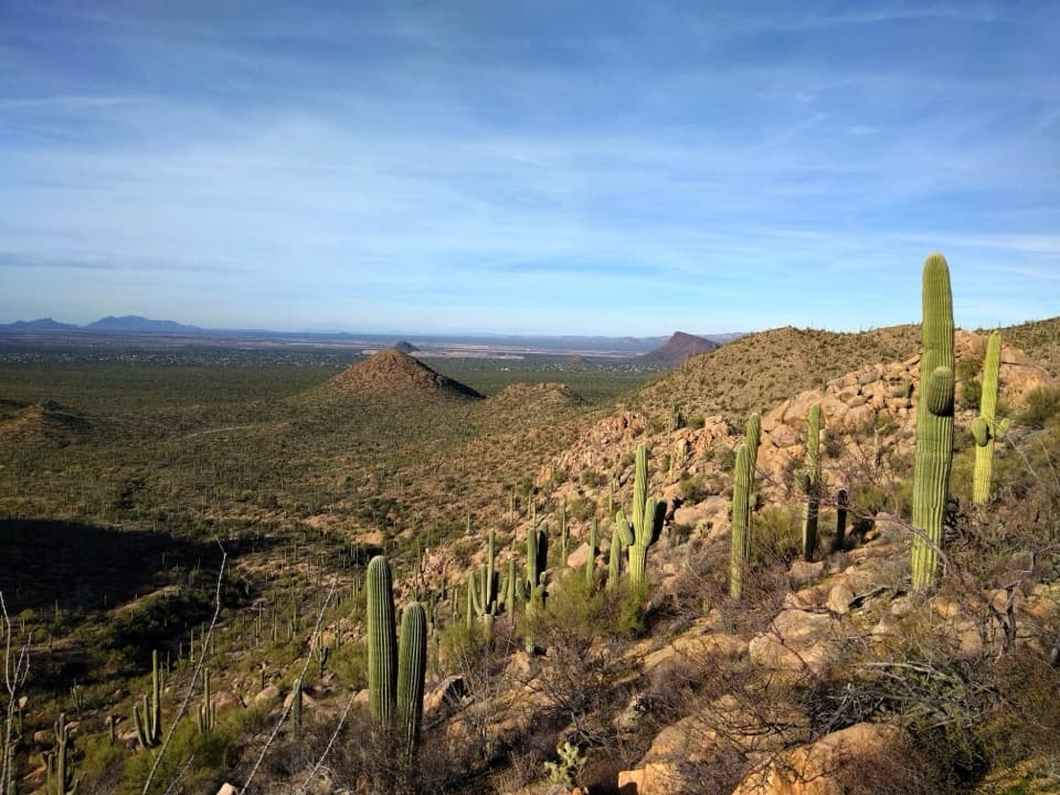
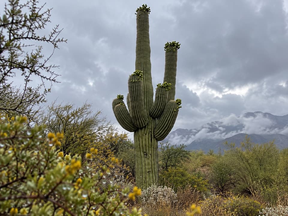
Wasson Peak (4,688 ft) is the high point of the Tucson Mountain District and a bona fide summit hike with sweeping 360-degree views over Tucson and the Sonoran Desert. Expect a sea of saguaros, ridgeline walking, and a satisfying final push to the top.
Routes at a Glance
- King Canyon loop to the summit (via Gould Mine/Hugh Norris): about 7.8–7.9 miles with ~1,860–1,870 ft gain. Many hikers do it counterclockwise for a gentler downhill.
- Sendero Esperanza → Hugh Norris (out-and-back): around 8 miles and ~1,700–1,750 ft gain. Starts higher with an easy first mile, then steep switchbacks to a scenic ridge.
- Hugh Norris Trail (out-and-back): roughly 10 miles and ~2,200 ft gain, with a stout, stair-like climb in the first mile before a steady ridge ascent.
Note: Some loop variations begin at King Canyon outside the park boundary before entering Saguaro National Park.
Difficulty & Terrain
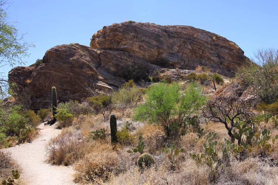
Moderate to strenuous. You’ll encounter sustained climbing, rocky footing, tight switchbacks, and occasional narrow stretches with drop-offs. The Hugh Norris approach hits hard early with step-like climbing; King Canyon begins more gently. It can be windy on the summit.
Wildlife & Safety
This is open Sonoran Desert—watch for rattlesnakes, scorpions, and Gila monsters, and give any bee activity a wide berth. Larger wildlife like coyotes, mountain lions, and bighorn sheep are present. There’s no shade, so sun exposure is constant. Carry plenty of water (a gallon per person for the full hike in warm seasons), add electrolytes, wear closed-toe shoes, and pack sun protection. Download an offline map; junctions are signed but networks interconnect. No mountain bikes.
Trailheads, Parking & Amenities
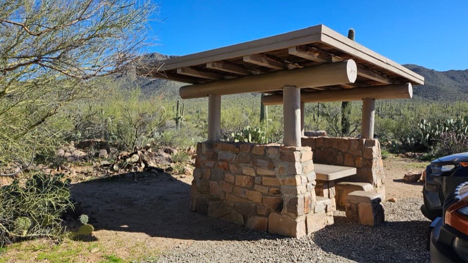
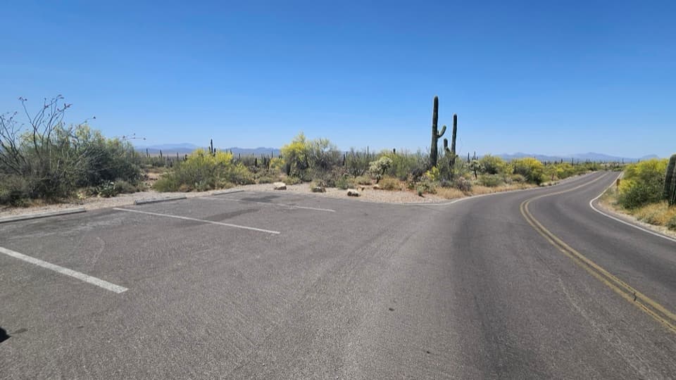
- Sendero Esperanza Trailhead (end of Golden Gate Road): graded dirt access, generally fine when dry; large dirt lot with vault toilets and a picnic area.
- King Canyon Trailhead: closer to town with convenient access for popular loop variations; parking is commonly available, but facilities vary.
- Hugh Norris Trailhead: accessed via unpaved park roads; the route is longer with a steep early climb.
A park entry fee applies.
Best Time to Visit
Late fall through early spring is prime—winter highs in the 60s–70s make for comfortable hiking. Late spring through summer can push into the 90s–100s; start before dawn if you go then, and expect intense sun exposure. In warmer months, bugs may swarm at the top. Morning travel on the counterclockwise King Canyon loop can offer pockets of shade on certain aspects.
Why Go
If you want a true summit with big payoffs and classic saguaro country, this is the west district’s headliner. It’s less of a roadside stroll and more of a real hike—challenging enough to feel earned, but manageable with an early start and smart pacing.
Where it is
32.2733, -111.1477Tips for Wasson Peak
- 01Start before dawn in warm months and carry at least 1 gallon of water per person.
- 02Do the King Canyon loop counterclockwise for a smoother descent and some morning shade.
- 03Prefer facilities and a bigger lot? Begin at the Sendero Esperanza trailhead.
- 04Download an offline map; multiple trails interconnect near the ridge.
- 05Choose Hugh Norris if you want a stout, stair-like climb right out of the gate.
Amenities
Near Wasson Peak
All places →All trails →
1.4 mi awayMam-A-Gah Picnic AreaSecluded hike-in picnic spot with shade, grills, and big viewsRestroom · Picnic Table
1.4 mi awaySendero Esperanza TrailSaguaro-studded climb to a ridge with big desert viewsModerate · 5.4 mi · 2.6 hr
1.5 mi awayEz-Kim-In-Zin Picnic AreaShady CCC picnic nook with big saguaro views and trail accessRestroom · Parking
1.9 mi awayGould MineShort desert loop to eerie copper-mine ruins and big saguaro views
2.1 mi awayKing Canyon TrailSteady desert climb to big 360 views from saguaro-studded ridgesModerate · 7 mi · 4 hr
2.1 mi awayKing’s Canyon to Gould Mine LoopShort saguaro-studded loop with mine ruins and big Tucson viewsModerate · 2.6 mi · 1.2 hr
2.1 mi awayGould Mine TrailShort desert loop to a copper mine, petroglyphs, and saguaro viewsEasy · 2.4 mi · 1.2 hr
2.9 mi awayValley View OverlookShort stroll to a sweeping saguaro-studded valley panoramaTrailhead · Parking