
Place · 2.2 mi away
Moderate
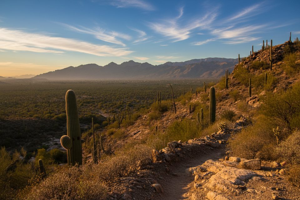
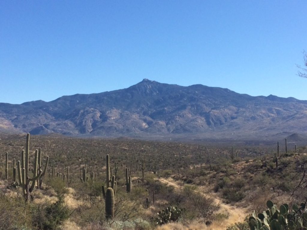
Carrillo Trail is a 3.2-mile singletrack (one way) on the lower flanks of the Rincon Mountains. Expect roughly 750–800 feet of total ascent, easy-to-moderate difficulty, and classic Sonoran Desert hiking: rocky tread, cactus-lined corridors, and big sky. It’s open to hikers, trail runners, and equestrians. The payoff is steady, peaceful climbing with broad views over Tucson and north to Mount Lemmon.
From the south, Carrillo branches off the Squeeze Pen Trail across the bajada. In the first 0.7 miles you’ll cross Wildhorse Creek and pass multiple signed junctions—including Deer Valley and the Garwood Trail—so keep an eye on the signs. Around 1.5 miles you’ll pass near Garwood Dam via the Wildhorse Tank Trail junction, then at roughly 2.2 miles cross Three Tank Trail and an upper drainage. The upper Carrillo was rerouted in 2014 to fix erosion issues; the new alignment heads east from Bajada Wash and meets the Douglas Spring Trail at a saddle about 3.2 miles from the start. The old alignment north from Bajada Wash is abandoned.
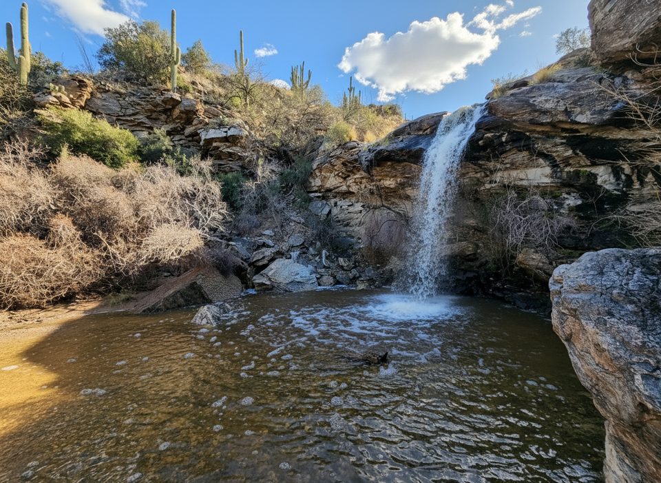
Wildhorse Canyon can hold seasonal pools after rains and in winter/spring; don’t count on it for drinking. Junctions are generally well-signed, but this network is dense—bring a map or track if you’re new to the area.
Fall through spring is the sweet spot. Winter and spring bring cooler temps and the best chance for water in the tanks and washes. Summer heat is punishing; if you must go, start very early. Early mornings during monsoon season can work, but storms and slick rock are real—watch the forecast.
Most hikers start from the Douglas Spring Trailhead and use Carrillo as part of a loop. A popular outing links Garwood → Carrillo → Wildhorse → Douglas Spring for a scenic, moderately strenuous tour with historic stops around Garwood Dam and Little Wildhorse Tank. If you’re aiming for Carrillo’s southern end directly from the Cactus Forest Loop Drive, plan on about 1.5 miles of approach on the Squeeze Pen Trail before you even hit Carrillo.
The trail honors Emilio Carrillo, an 1860s rancher in the Tanque Verde Valley whose story threads through the area’s early ranching era. Geology-wise, you’re walking the edge of a metamorphic core complex: bajada gravels low, with uplifted, altered granitic cores forming the Rincons above. It’s a textbook slice of the region’s deep-time crustal stretching.
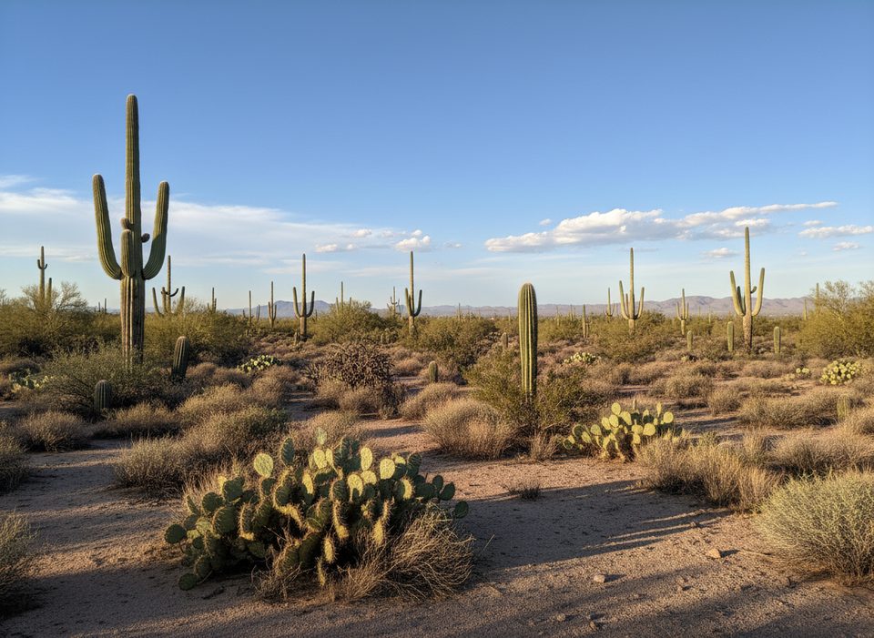
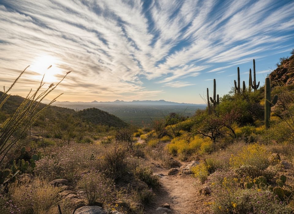
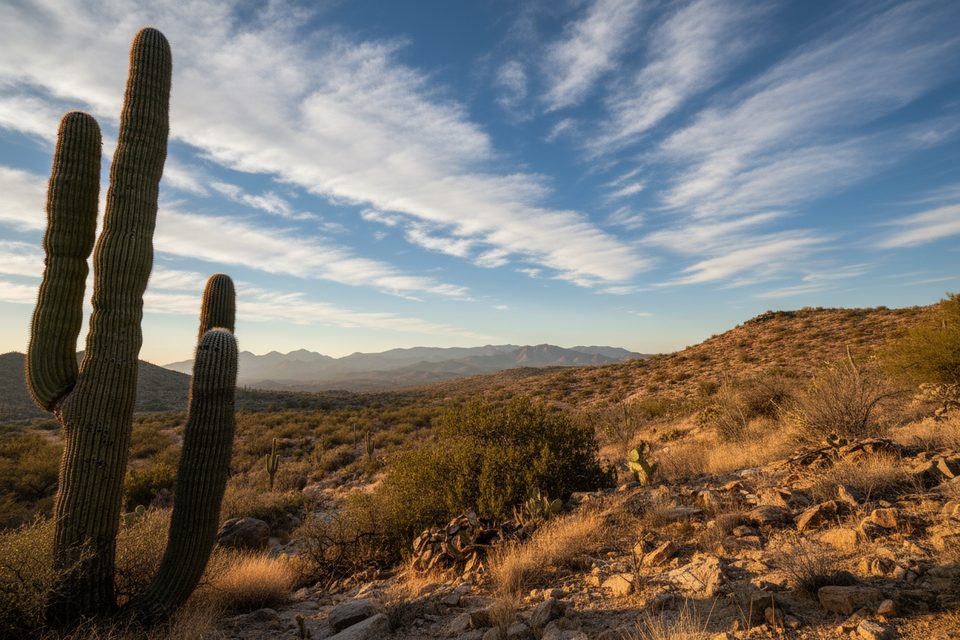
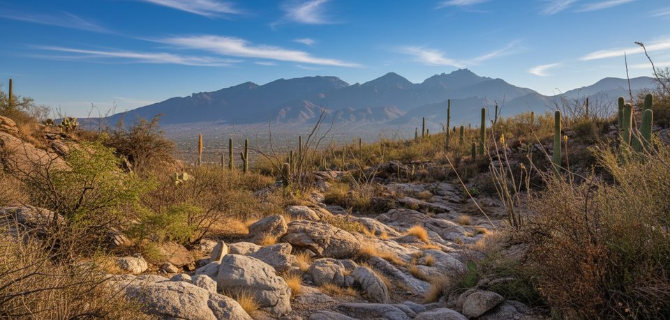
Look for towering saguaros, ocotillo, and cholla. Upper sections grant wide views across the Tucson basin to the Santa Catalina Mountains. Keep an ear out near water for buzzing—bees sometimes concentrate around tanks and pools. Rattlesnakes and scorpions are part of the desert cast; give wildlife space and watch your footing.
Time-wise, the 3.2-mile one-way segment takes most hikers around 1.8 hours. For a moderate half-day, the Carrillo–Douglas Spring loop option is about 5.9 miles and roughly 3.25 hours.
Best access from Douglas Spring Trailhead for loop options; or reach Carrillo’s south end via the Cactus Forest Loop Drive and hike ~1.5 miles on Squeeze Pen Trail to the junction.
Extreme heat, minimal shade, and no reliable water; bees may concentrate near tanks and pools; watch for rattlesnakes, cactus spines, loose rock, and equestrian traffic. Junctions are numerous—carry a map.
Place · 2.2 mi away
Place · 2.6 mi away
Place · 2.8 mi away
Place · 3.8 mi away
Challenging · 0 mi away
Challenging · 0 mi away
Moderate · 0 mi away
Challenging · 0 mi away

Parkwolf Tour Guide
