
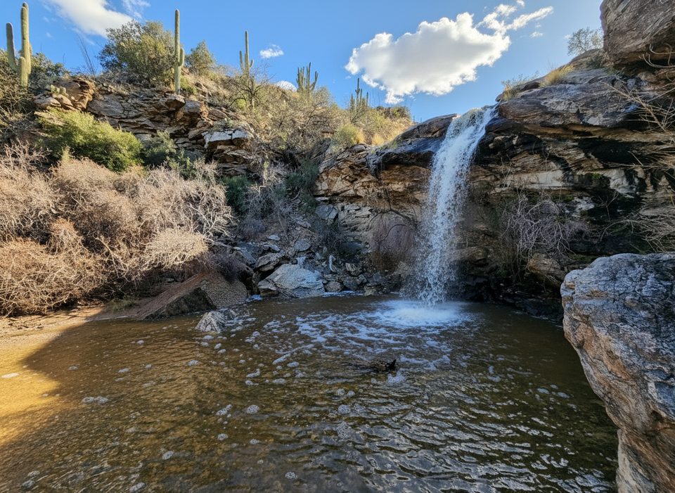
Place · 2.2 mi away
Challenging
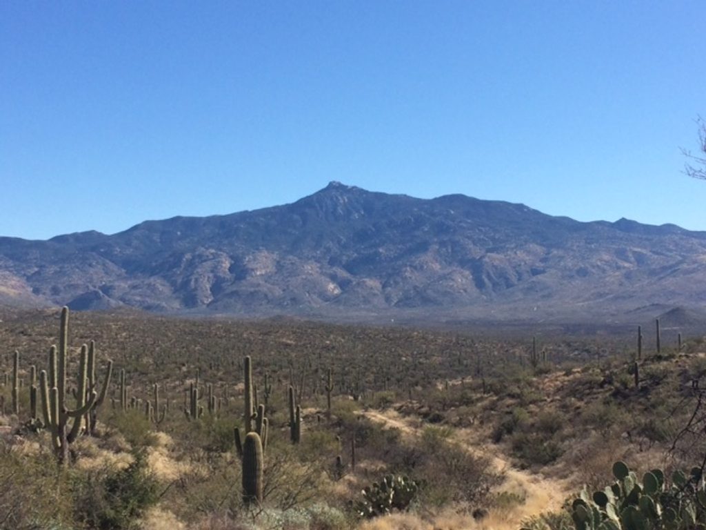
Mica Mountain is the 8,666-foot high point of the Rincon Mountains, and getting there is a serious undertaking. The standard route via Douglas Spring and Cow Head Saddle is roughly 26.6 miles total (out-and-back) with about 6,410 feet of gain—typically a 14+ hour day even for fit hikers. Expect a beautiful but demanding tour from low desert into high-country forest. Fair warning: the actual summit is a rounded, forested hump with little to no view; the big scenery is along the way.
Most hikers start at the Douglas Spring Trailhead and follow Douglas Spring to Cow Head Saddle; grades become notably steeper after Douglas Spring Camp. A shorter but still strenuous alternative comes from the southwest via Happy Valley and the Turkey Creek Trail (~17.2 miles, ~4,200 feet of gain), which strong parties have done in about 10–11 hours. Springs along the Happy Valley approach (like Mud Hole Spring and Deer Head Spring) can exist seasonally, but do not count on water. There’s also nearby Miller Creek (about 2.5 miles from Turkey Creek) that allows creative loop options, sometimes combining Mica Mountain with Rincon Peak.
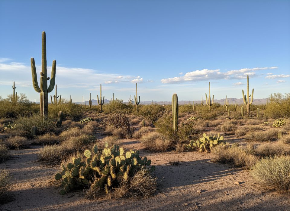
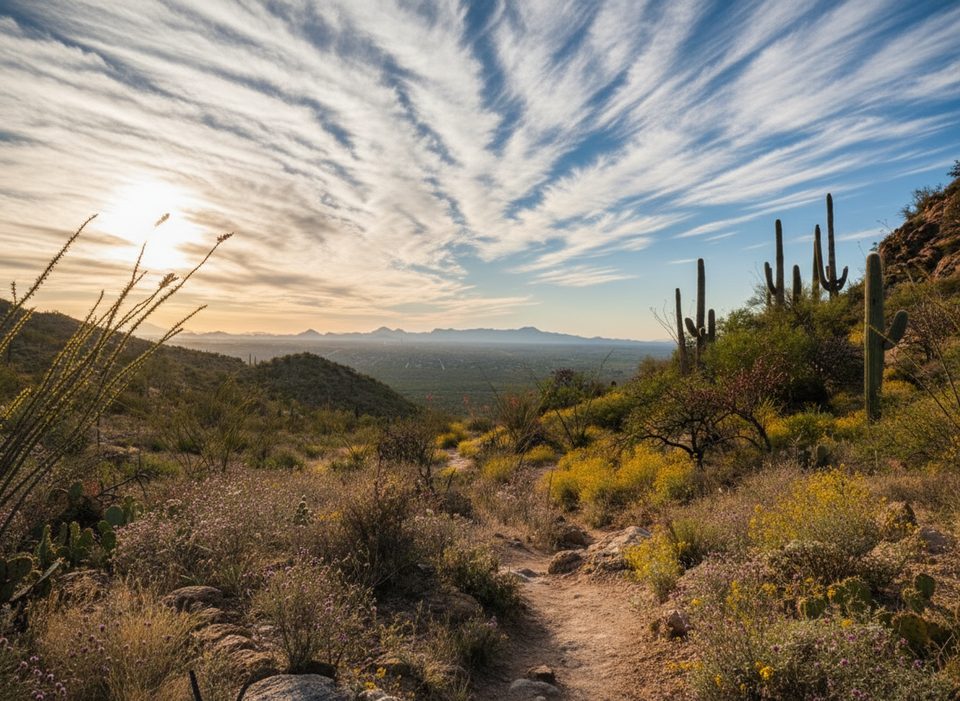
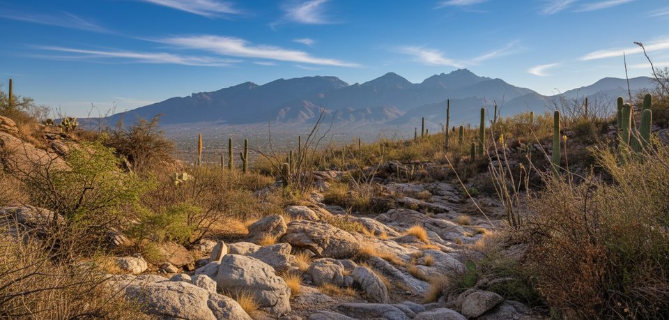
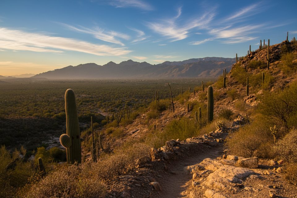
This hike is a life-zone sampler: desert grasses and scrub at the bottom give way to shrublands and then evergreen forests of juniper and pine. Along the Douglas Spring route you’ll get big looks at the Catalina Mountains and Tucson, and pass landmarks like Helens Dome; near the crest, Spud Rock offers better viewpoints than the forested summit. At higher elevations you may encounter soft, needle-covered singletrack and occasional trickling flows in cooler months.
Water is scarce on the Douglas Spring approach and unreliable elsewhere—plan to carry what you need. The 2020 burns left hazards in high-elevation areas: weak ground, slick tread, falling trees, and increased flash-flood risk during rain. Lower elevations have little shade, so heat is a major factor. Start pre-dawn, build generous time margins, and turn around if you’re racing daylight.
Park at the Douglas Spring Trailhead for the standard route—straightforward city access. If you opt for the Happy Valley/Turkey Creek approach, the last mile or so of road is rough and often calls for high-clearance (sometimes 4WD), and seasonal stream crossings can occur in summer and winter. Pets are allowed on a few short, designated low-desert paths, but not on this backcountry summit hike. Day hiking typically does not require permits, but overnight trips in the park do—confirm details before you go.
Go when temperatures are cool and daylight is reasonable—late fall through spring is best. In any warm spell, start very early. Watch for monsoon storms, especially on the exposed lower slopes and in burned areas. Photographers will like first light on the climb and late light on the descent; the summit itself is in forest, so the best vistas are along ridgelines and clearings.
Want a short desert stroll instead of a 20+ mile grind? The Mica View Trail near the picnic area is the classic easy option, though sections have been under repair and not currently ADA-accessible—check status before you go. For reliably accessible desert, the Desert Ecology Trail (paved 0.25-mile loop) is a great substitute.
Park at Douglas Spring Trailhead (city access via the Speedway/Broadway area). For the shorter Happy Valley approach, reach Turkey Creek Trailhead via rough road; high-clearance is encouraged and seasonal stream crossings are possible.
Extremely long, strenuous day with limited water. Burned high-elevation areas have weak ground, slick tread, falling trees, and higher flash-flood risk during rain. Little shade at low elevations—start pre-dawn, carry ample water, and watch monsoon storms. Happy Valley access roads can be rough with seasonal water across the road; high-clearance often needed.
Place · 2.2 mi away
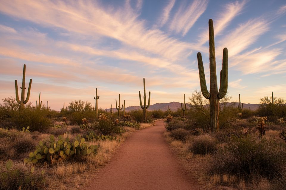
Place · 2.6 mi away
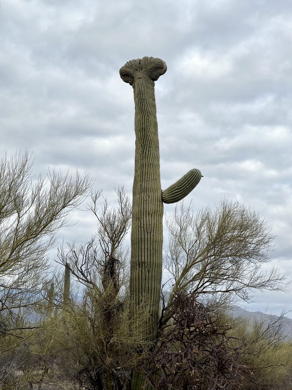
Place · 2.8 mi away
Place · 3.8 mi away
Challenging · 0 mi away
Challenging · 0 mi away
Moderate · 0 mi away
Moderate · 0 mi away

Parkwolf Tour Guide
