
Place · 0.4 mi away
Easy
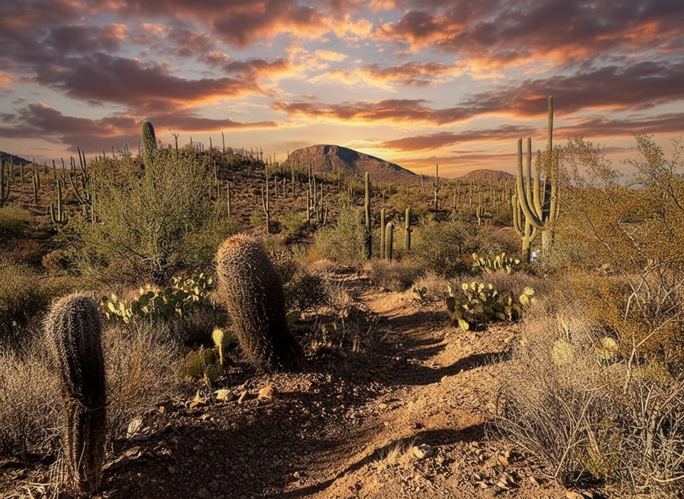
Coyote Pass is a short, quiet connector in the Tucson Mountain District (West) that threads through classic Sonoran Desert and a forest of saguaros, topping out at a small saddle with views toward Tucson and, on clear days, Mica Mountain to the east [hikingproject.com](https://www.hikingproject.com/trail/7010059/coyote-pass-trail). As a stand‑alone out‑and‑back, the trail itself is about 0.8–1.0 miles one way (roughly 1.6–2.0 miles total) with light gain and some descent in each direction [hikearizona.com](https://hikearizona.com/decoder.php?ZTN=1030), [trailforks.com](https://www.trailforks.com/trails/coyote-pass-trail/).
If you want more mileage, two easy expansions are popular. A mellow 4.5‑mile loop via Picture Rocks Wash is listed as Easy and takes around 2 hours depending on pace [hiiker.app](https://hiiker.app/trails/arizona/pima-county/coyote-pass-via-picture-rocks-wash-trail). The fuller “Coyote Pass Loop” weaves several nearby trails into a 5.9‑mile circuit with about 538 feet of gain, typically around 2 hours and 14 minutes for most hikers [alltrails.com](https://www.alltrails.com/trail/us/arizona/coyote-pass-loop-trail). From the pass, you can continue down to the wide, signed Gila Monster wash and string together Ironwood Forest Trail for a more scenic return [hikearizona.com](https://hikearizona.com/decoder.php?ZTN=1030).
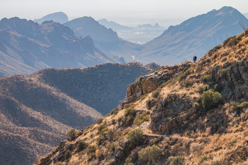
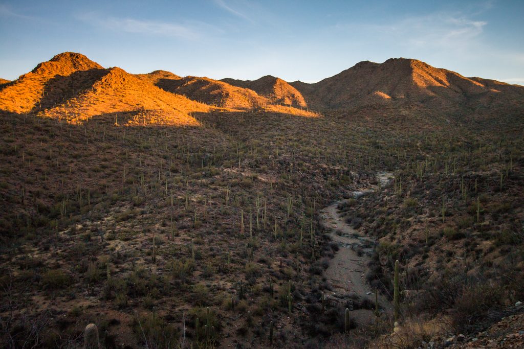
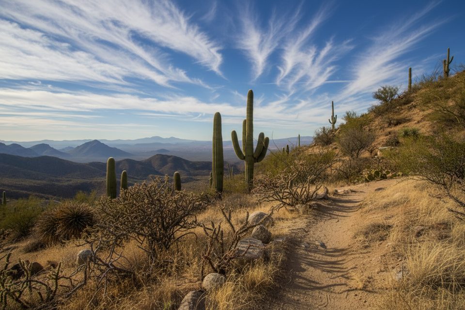
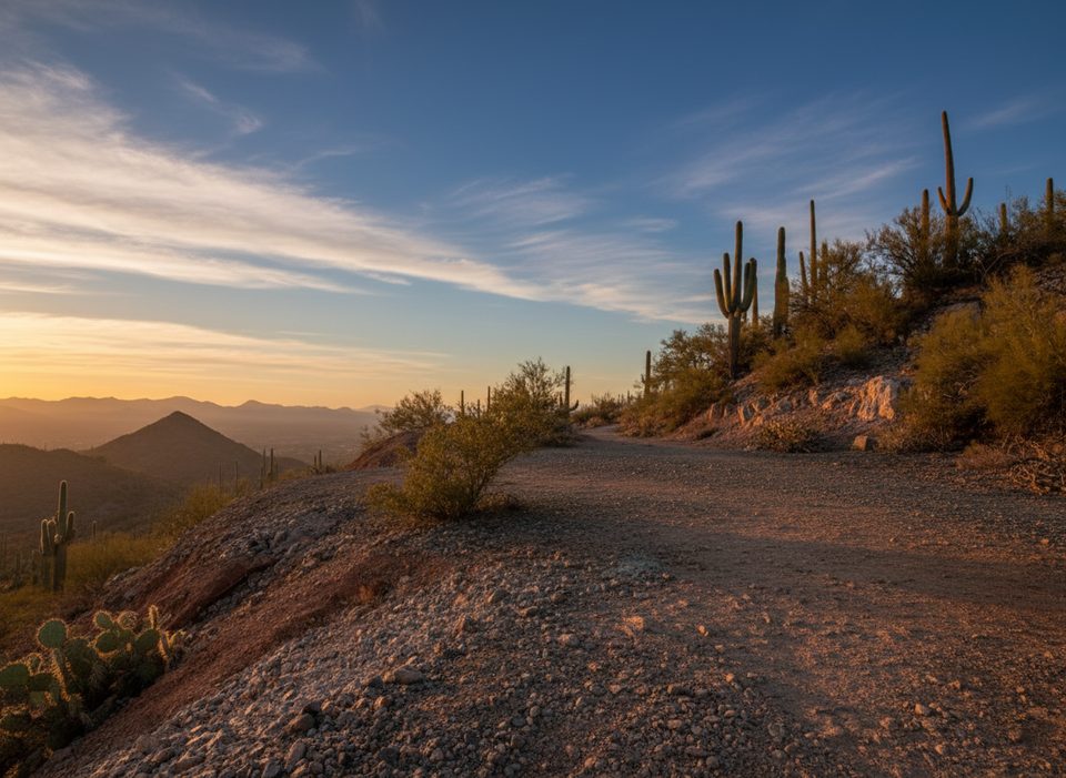
Expect textbook Sonoran Desert: towering saguaros, cholla and prickly pear, with spring wildflowers lighting up the washes in good years [alltrails.com](https://www.alltrails.com/trail/us/arizona/coyote-pass-loop-trail). The high point delivers open desert views toward Tucson and the Tucson Mountains, and hikers note clear sightlines to Mica Mountain from the pass area [hikingproject.com](https://www.hikingproject.com/trail/7010059/coyote-pass-trail). Wildlife along this network can include deer, lizards, birds, and ground squirrels [alltrails.com](https://www.alltrails.com/parks/us/arizona/saguaro-national-park).
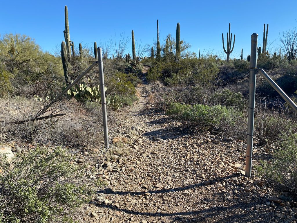
Footing is mixed: stretches of sandy wash, some loose rock, and occasional narrow or slightly overgrown sections. After heavy rain, the junction near Cactus Canyon has been reported washed out—pay attention to signage and bring a map or GPS for the washes where tread can fade [hikingproject.com](https://www.hikingproject.com/trail/7010059/coyote-pass-trail). There’s little to no shade; start early, wear solid footwear, and carry plenty of water—especially outside the cool months [alltrails.com](https://www.alltrails.com/trail/us/arizona/coyote-pass-loop-trail).
A common approach is from Ringtail Trail to Picture Rocks Wash, then roughly 0.4 miles up the sandy wash to the signed “Coyote Pass” turn. From there it’s about 0.8 miles to the Gila Monster wash junction; return the same way or extend via Ironwood Forest Trail for a loop. Reviewers note the northwest (Marana‑side) access has no restrooms—plan accordingly [hikearizona.com](https://hikearizona.com/decoder.php?ZTN=1030), [alltrails.com](https://www.alltrails.com/trail/us/arizona/coyote-pass-loop-trail), [hiiker.app](https://hiiker.app/trails/arizona/pima-county/coyote-pass-via-picture-rocks-wash-trail).
Fall through spring is prime. Early mornings deliver cooler temps, softer light for photography among the saguaros, and the best chance at solitude. Avoid washes during or right after storms due to flash‑flood risk, and expect summer heat to make this short trail feel longer than it is [hikingproject.com](https://www.hikingproject.com/trail/7010059/coyote-pass-trail). Pets are not allowed on this trail, and off‑trail hiking is prohibited below 4,500 feet in the West District—stay on signed routes and washes as posted [nps.gov](https://www.nps.gov/sagu/planyourvisit/rules-and-regulations.htm).
Access via Ringtail Trail to Picture Rocks Wash in the park’s northwest area; limited facilities and no restrooms reported—plan ahead.
Sandy washes, loose rock, and occasional overgrowth; junction near Cactus Canyon may be washed out after storms. Little shade—start early and carry ample water. Stay on-trail (off-trail hiking is prohibited below 4,500 ft) and note that pets are not allowed.
Place · 0.4 mi away
Place · 0.8 mi away
Place · 1.8 mi away
Place · 2.1 mi away
Moderate · 0 mi away
Moderate · 0 mi away
Easy · 0 mi away
Moderate · 2.6 mi away

Parkwolf Tour Guide
