Parking
King Canyon Trailhead is a gravel pull-off on the east side of Kinney Road near the Arizona-Sonora Desert Museum. It is not well signed; the northbound turn is tight for long vehicles, so approaching from the south is easier.
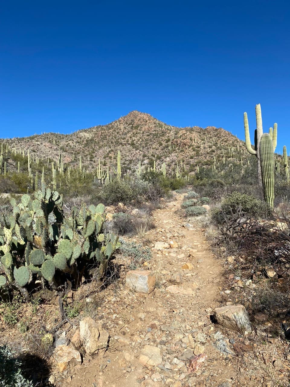
Saguaro National Park, AZ
A climb through cactus scrub ends at an old copper mine.
Overview
Map & elevation
Plan your hike

The highest, rockiest slopes around here are a summer buffet for grizzly bears.
Saguaro Tour Guide
Parkwolf is a GPS audio tour guide for Saguaro National Park. As you drive, it chimes in with what’s ahead: hidden gems, upcoming stops, history, geology, and wildlife, right through your car’s speakers.
See the Saguaro audio tourRecorded for this trailhead
King Canyon: Wasson Peak or Gould Mine“You're coming up on King Canyon Trailhead, where the climb to Wasson Peak starts.”
Plays as you drive up to this trailhead in the Parkwolf Saguaro Tour Guide.
More stories near here in the app
“Fantastic app with many points of information… It’s great to just turn on while you’re driving and it gives you an audio tour of the national Park. We love it!!!!”


Trail guide
Gould Mine Trail is a 2.2-mile out-and-back from King Canyon Trailhead to the old copper workings in Saguaro National Park's Tucson Mountain District. The mapped climb is about 1.1 miles each way along a former road. Allow 1 to 1½ hours to walk it and explore the site; choose the separate 2.5-mile King Canyon/Gould Mine Loop if you want a circuit. Dogs are not permitted on this trail. Start early in warm months and carry water.
From King Canyon Trailhead, follow the old roadbed, cross one major wash, then continue steadily uphill through cactus scrub. Most of the tread is firm desert ground, but there are sections of loose, golf-ball-sized gravel and soft sand. There are no steps; the typical grade is about 5.5%, with short sections reaching 14.4%. Follow the trail carefully through the wash.
The trail reaches colorful tailings, the foundation of a small stone cabin, an old powder house, and scattered wood and ironwork. The main shaft is fenced and covered by an iron grille; stay outside the barrier and away from other openings. For a photo, frame the mine structures with the tailings and surrounding desert rather than approaching the shaft.
S. H. Gould opened the mine in 1906 in search of a rich copper seam, but poor production ended the first operation within a few years. A later attempt to reopen it as a pit mine in the 1950s also failed, and mining ceased in 1954.
The route passes saguaros, prickly pear and several kinds of cholla; ocotillo and hedgehog cactus grow along the trail as well. King Canyon Trailhead is on Tucson Mountain Park land just outside Saguaro National Park, and the hike follows the Gould Mine route from there into the park.
Wildlife
 19 sightingsBlack BearMost seen around 6 AMSighting map
 56 sightingsMountain LionMost seen around 6 AMSighting map
 266 sightingsMule DeerMost seen around 6 PMSighting map
 113 sightingsCollared PeccaryMost seen around 6 PMSighting map
 53 sightingsBobcatMost seen around 6 AMSighting map
 127 sightingsCoyoteMost seen around 6 PMSighting map
Sighting maps show where each species has been reported across Saguaro. Wildlife moves, so no sighting is guaranteed.
Keep exploring
 ChallengingWasson Peak via King Canyon and Gould Mine Loop7.8 mi · 5 hr · At the trailheadA rocky climb to big summit views above Tucson's saguaro forest.
 ModerateKing Canyon Trail to Wasson Peak7 mi · 4.3 hr · At the trailheadA direct desert climb to Wasson Peak and its broad summit views.
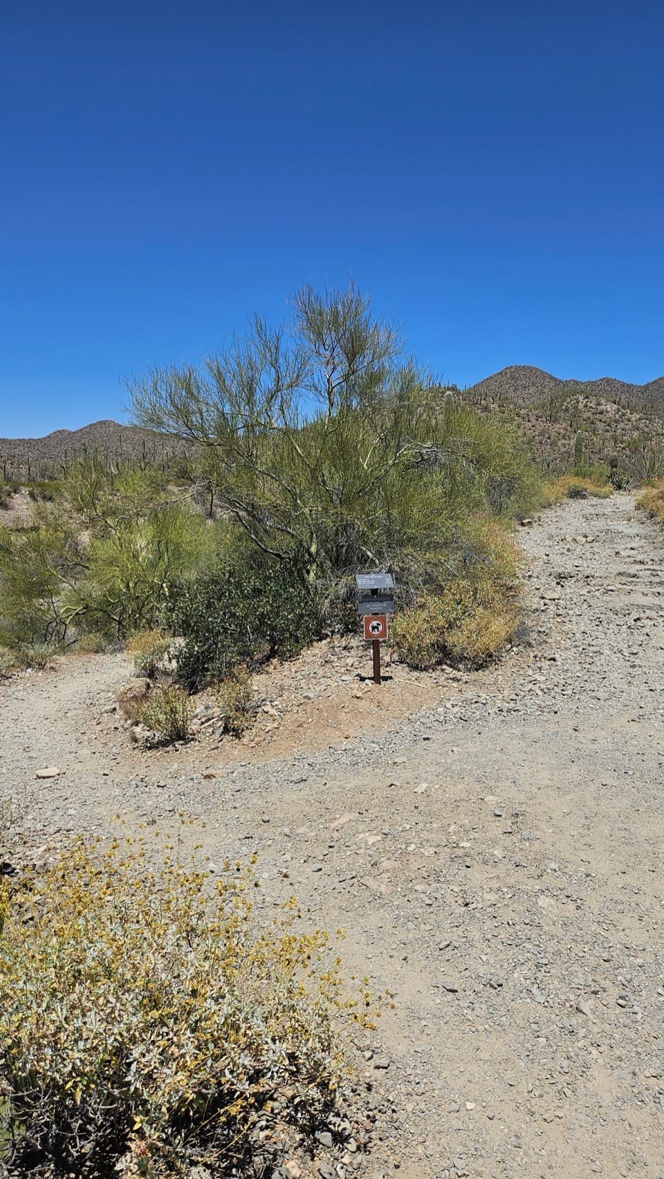 ModerateKing Canyon Short Loop1.8 mi · 1.3 hr · At the trailheadA short canyon wash and a rocky old-road return.
 ModerateKing Canyon / Gould Mine Loop2.5 mi · 1.8 hr · At the trailheadA rugged desert loop visits the remains of a copper mine.
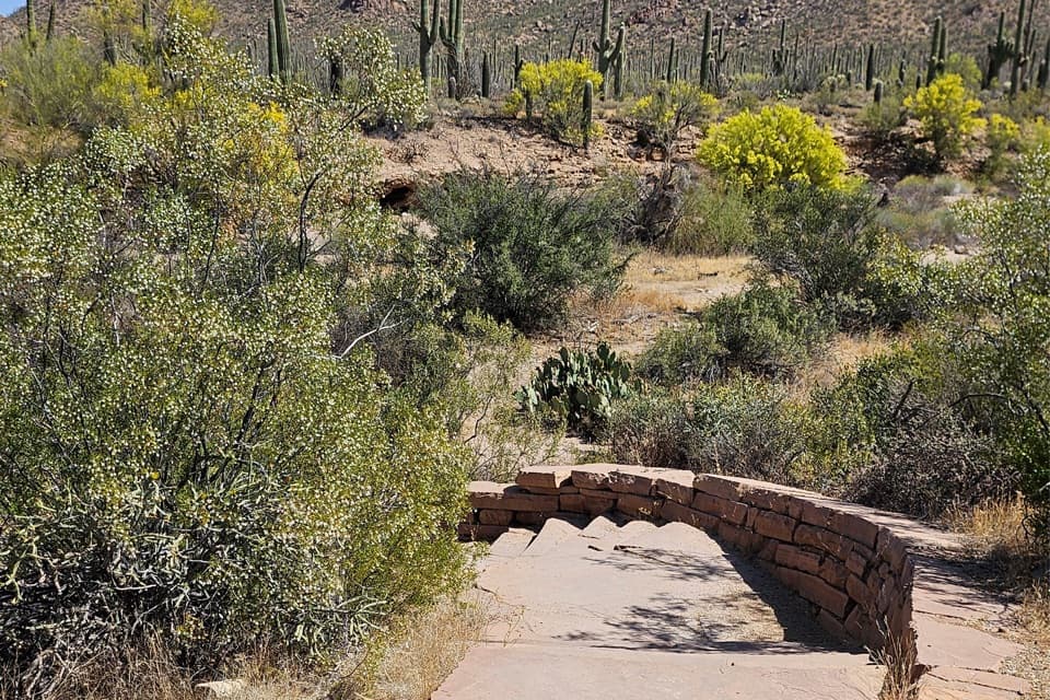 EasyJavelina Wash Trail0.3 mi · 25 min · 1.9 mi awayA short wash loop for sand, burrows, and desert detail.
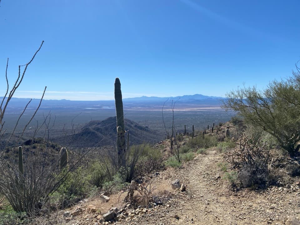 ChallengingSendero Esperanza to Wasson Peak8 mi · 5 hr · 2.6 mi awayClimb to the Tucson Mountains' 4,687-foot high point.
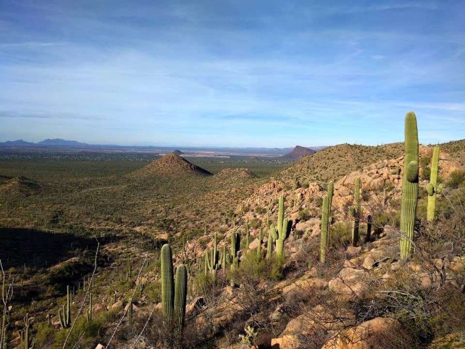 ChallengingSendero Esperanza Trail Big Loop8.5 mi · 5.5 hr · 2.6 mi awayAn 8.5-mile desert loop linking ridge views and sandy washes.
 ModerateGolden Gate Multi-use Trail2.5 mi · 1.5 hr · 2.6 mi awayA wide gravel track links the Bajada Loop and Picture Rocks Road.
 Sight · 0.3 mi awayArizona-Sonora Desert MuseumA living field guide to the Sonoran Desert on a cactus-covered hillside.
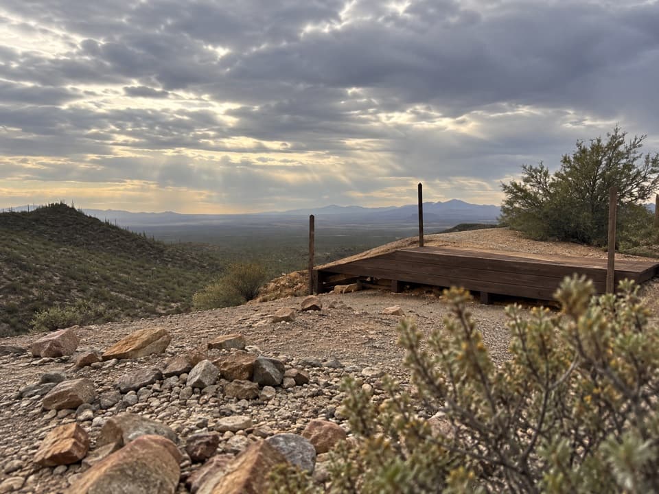 Sight · 0.7 mi awayGould MineCopper mine ruins reached by a desert hike.
 Picnic area · 0.8 mi awayMam-A-Gah Picnic AreaA covered picnic stop with desert views, nearly a mile uphill.
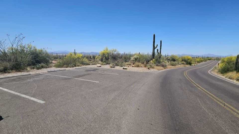 Scenic pullout · 1.6 mi awayKinney Road Sunset PulloutA quick sunset stop with only four parking spaces.
 Visitor center · 1.8 mi awayRed Hills Visitor CenterStart here for desert exhibits, trail advice, and Red Hills views.
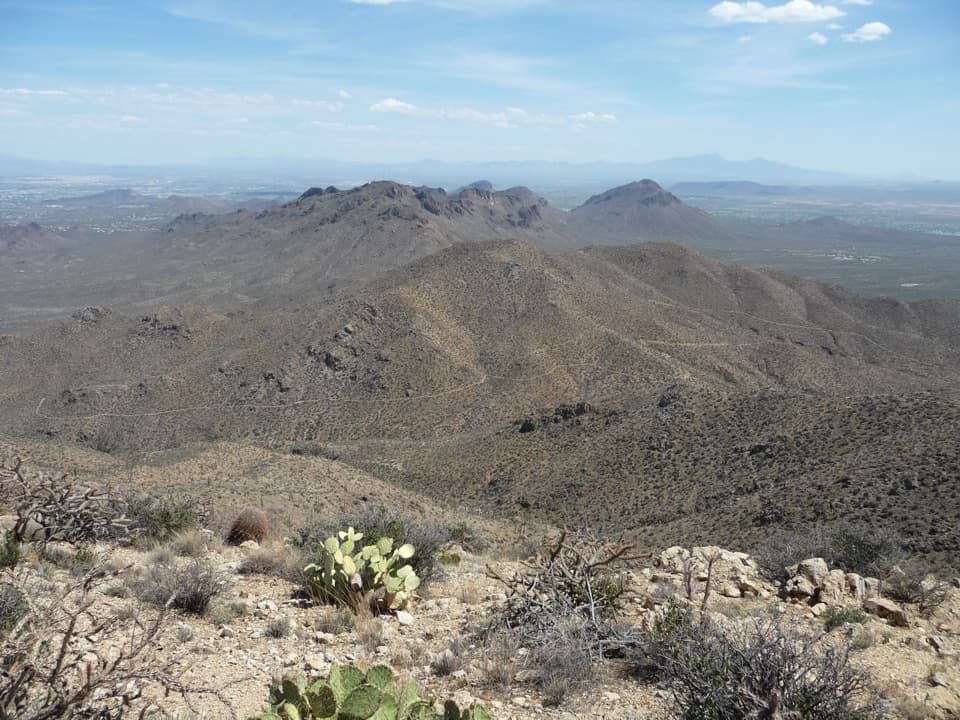 Sight · 2.1 mi awayWasson PeakA hard-earned summit puts Tucson and two mountain ranges in view.
 Picnic area · 2.6 mi awaySendero Esperanza Picnic AreaA simple picnic stop at the end of Golden Gate Road
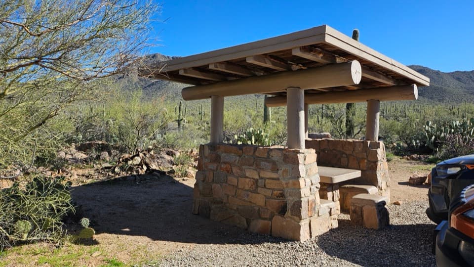 Picnic area · 2.6 mi awayEz-Kim-In-Zin Picnic AreaA stone shelter turns a desert picnic into a proper stop.
Parkwolf’s Saguaro ranking

The audio tour guide for the drive, plus offline maps, trails, and wildlife heatmaps for when the signal drops.



