
Place · 0.3 mi away
Challenging
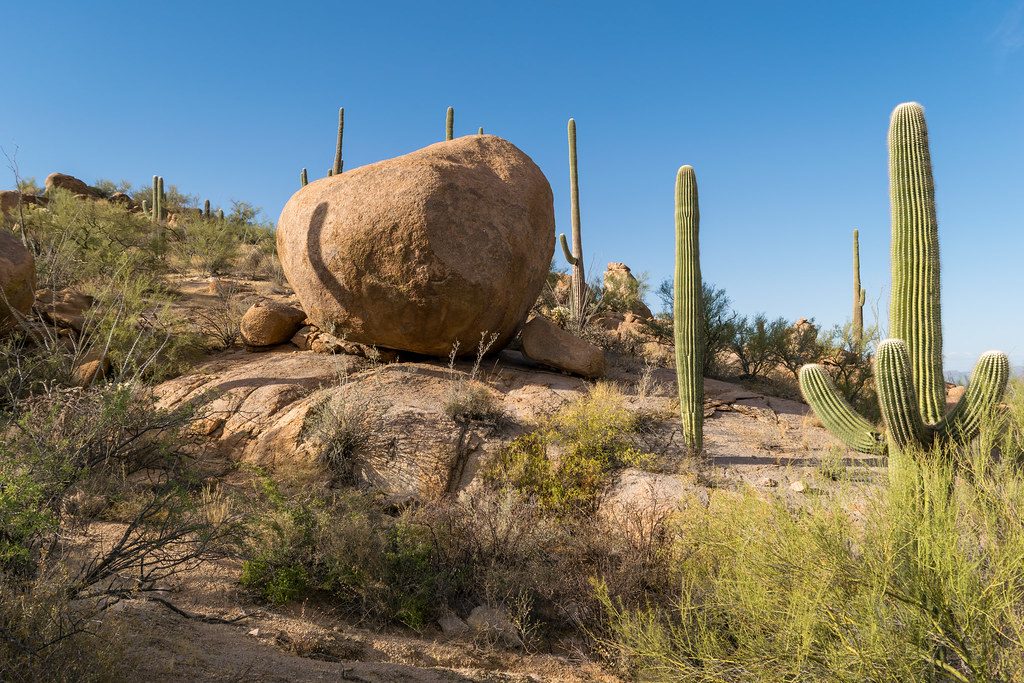
If you want the big, classic ridge walk in Saguaro’s west district, this is it. The Hugh Norris Trail climbs steadily through dense saguaro forest, then rides a ridgeline with wide-open Sonoran Desert panoramas all the way to Wasson Peak—the highest point in the Tucson Mountains. It’s a committed, stepped climb with rocky footing in spots, but the payoff is constant views and a true sense of place in the desert.
Plan on roughly 9.1 miles total (out-and-back) with about 2,100–2,400 feet of gain, taking most hikers around 5–6 hours depending on pace and conditions. The first mile wastes no time—expect stone steps and switchbacks right out of the gate. Past the initial pitch, the trail undulates across saddles before the final push to the summit spur.
This route is a saguaro showcase, with ocotillo, cholla, palo verde, creosote, yucca, mesquite, and tall grasses filling in the scene. After wet winters, late-winter to spring wildflowers can color the slopes. As you gain the ridge, look for old, fenced mine shafts—historic remnants you should admire from a distance. From the higher ridges and Wasson Peak, you get 360-degree views that can include the Catalinas, Rincons, and distant Baboquivari.
The tread is well built and generally easy to follow, but it’s not gentle: many stone steps and sustained climbing will test legs and lungs, and the descent can be knee-jarring. Lower stretches can have fine gravel and sand over rock, so traction varies. There’s essentially no shade—plan for full sun exposure for the entire hike.
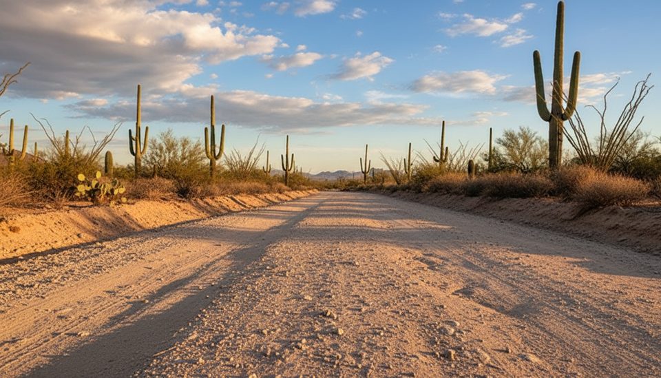
The trailhead sits along the park’s dirt Bajada Loop Drive (Hohokam Road). It’s unpaved, so give yourself extra time to reach the small parking area. The climb begins immediately from the trailhead—no warmup.
Fall through early spring is prime. Summer heat here is real—lower slopes can become an oven by mid-morning. If you must go in hot weather, start at dawn and be conservative with turnaround times. Winter mornings offer crisp air and clear views; late winter into spring brings the best chance for wildflowers.
Small trailhead pullout along unpaved Hohokam Road on the park’s Bajada Loop Drive; allow extra time to reach it from the Red Hills Visitor Center/Kinney Road side.
No shade and intense heat; carry multiple liters and turn around when half your water is gone. Rocky steps can be slick; use poles. Watch for rattlesnakes. Do not enter fenced mine shafts. Access road is unpaved.
Place · 0.3 mi away
Place · 0.5 mi away
Place · 0.5 mi away
Place · 1.2 mi away
Easy · 0.5 mi away
Easy · 0.9 mi away
Easy · 1.3 mi away
Moderate · 2.3 mi away

Parkwolf Tour Guide
