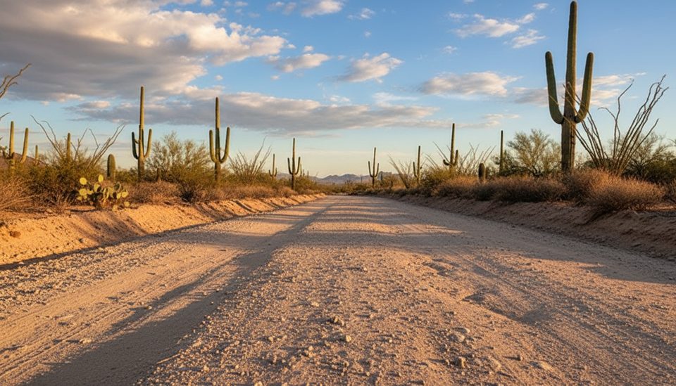
Bajada Scenic Loop

Classic dirt-road cruise past giant saguaros with quick hikes and petroglyphs
Bajada Scenic Loop, Saguaro National Park
InsideSaguaro National Park

Overview

This 6-mile unpaved scenic loop threads through the heart of the Tucson Mountain District’s saguaro forest. It’s a slow, beautiful cruise with classic desert views, quick trails, and historic picnic spots—perfect when you want maximum scenery with minimal effort.

How to Drive It

Most visitors run it counter-clockwise: start on one-way Hohokam Road about 1.5 miles west of Red Hills Visitor Center, then continue onto Golden Gate Road to Sandario. The road is graded dirt—no high clearance or 4WD needed—just take it easy on the bumpy washboard patches. Trailers over 35 feet or vehicles wider than 8 feet aren’t allowed.

Best Stops

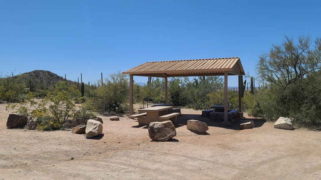
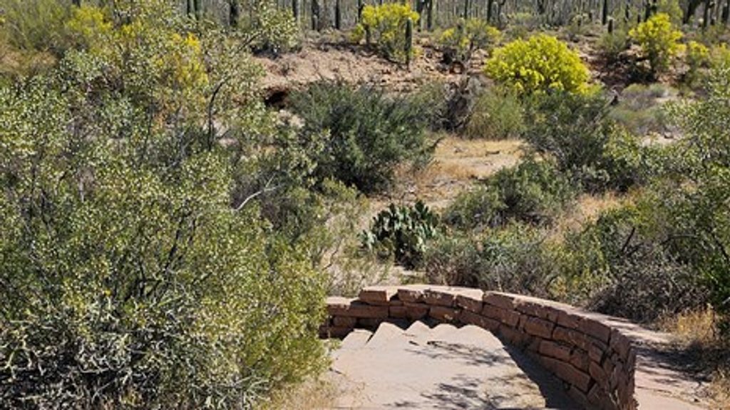
  • Sus Picnic Area: CCC-built stone shelters with shade, grills, and a “comfort station.” It’s also the start of the easy Bajada Wash Trail.
  • Valley View Overlook Trail: A quick, family-friendly walk with big views across a sea of saguaros toward distant ranges.
  • Ez-Kim-In-Zin Picnic Area (short detour): More handsome CCC stonework, quiet tables, and views of Wasson and Amole Peaks; near the Sendero Esperanza Trailhead.
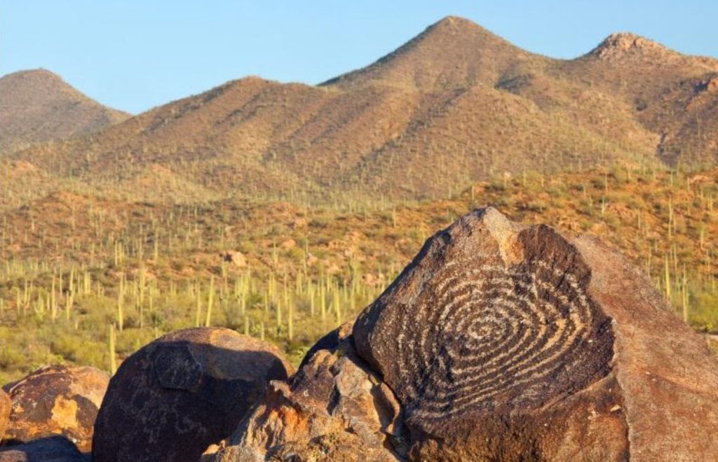
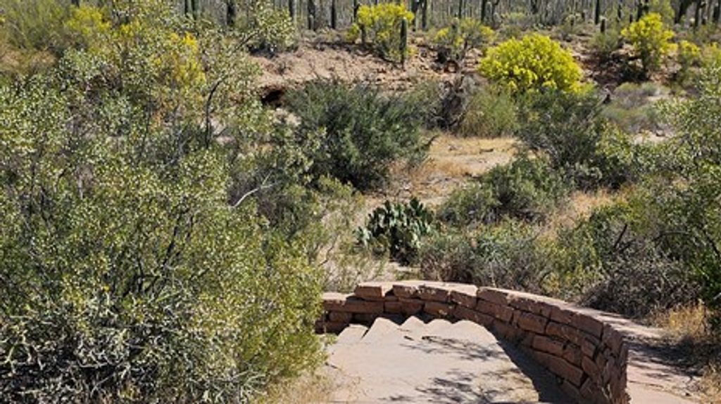
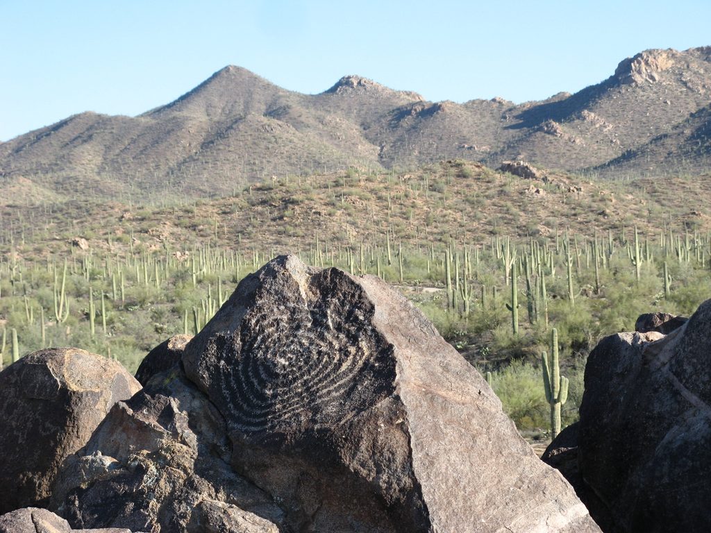
  • Signal Hill Petroglyphs: A short walk climbs stone steps to rock art panels carved by the Hohokam. Note that restoration work can cause periodic closures; when the access road is closed, look for alternate trail access points.

What Makes It Special

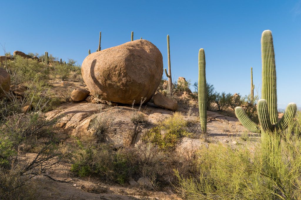
“Bajada” means a broad, gentle slope built from coalesced alluvial fans—exactly the landform you’re cruising. Here it’s studded with towering saguaros, chollas, and creosote, with light that gets better by the minute near sunset. It’s the best sampler of the west district in a single hour.

Wildlife

Keep an eye out for javelinas and coyotes, and know that rattlesnakes are part of the desert scene. Give all wildlife plenty of space and never feed or approach. Early and late in the day are your best odds for sightings.

Biking

Bicycles are allowed on the Bajada Loop (it’s gravel) and on paved roads in this district. Trails are generally off-limits to bikes, with a couple of signed multi-use exceptions.

Essentials

There’s no potable water along the loop—bring what you need. Shade is limited outside the CCC shelters, and the sun is fierce even on short walks. Use designated pullouts and picnic areas, and check the official park site for current road conditions and any project closures (especially at Signal Hill).

Best Time to Visit

  • Early morning for empty pullouts, soft light, and cooler temps.
  • Late afternoon into sunset for photography and wildlife activity.
  • Weekdays are quieter than weekends, especially in peak season.

Pros

  • Easy dirt-road loop for most cars with nonstop saguaro views
  • Short, rewarding stops: Valley View Overlook and Signal Hill petroglyphs
  • Historic CCC picnic areas with shade shelters, grills, and restrooms

Cons

  • Unpaved with occasional washboard sections
  • Signal Hill area may have periodic closures for restoration

Tips

  • Drive counter-clockwise starting on one-way Hohokam Road for the smoothest flow.
  • Hit it at sunrise or sunset for the best light and cooler temps.
  • Bring all the water you’ll need; there’s no potable water on the loop.
  • Check current conditions for Signal Hill closures before you go.
  • Watch for cyclists and wildlife, and use designated pullouts for stops.
The Parkwolf tour guide sitting on a phone mounted in a car

Parkwolf Tour Guide

Like a tour guide in your car.

Save the places you found around Saguaro, then let Parkwolf guide the drive between them.Download Parkwolf on the App Store