Pros & cons
PROS
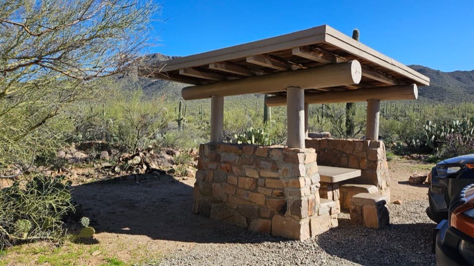
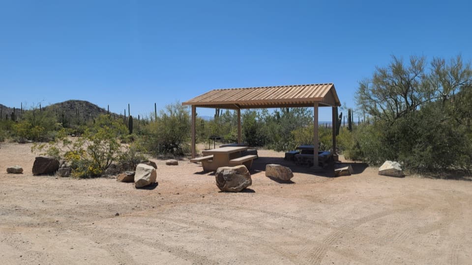
- Historic CCC stone ramadas with shade, grills, and multiple tables
- Trail access to Bajada Wash and nearby CCC check dams after rains
- Convenient first stop on the Bajada Loop (counter‑clockwise)
CONS
- No potable water on-site
- Access is via an unpaved dirt road that can be washboarded
Overview
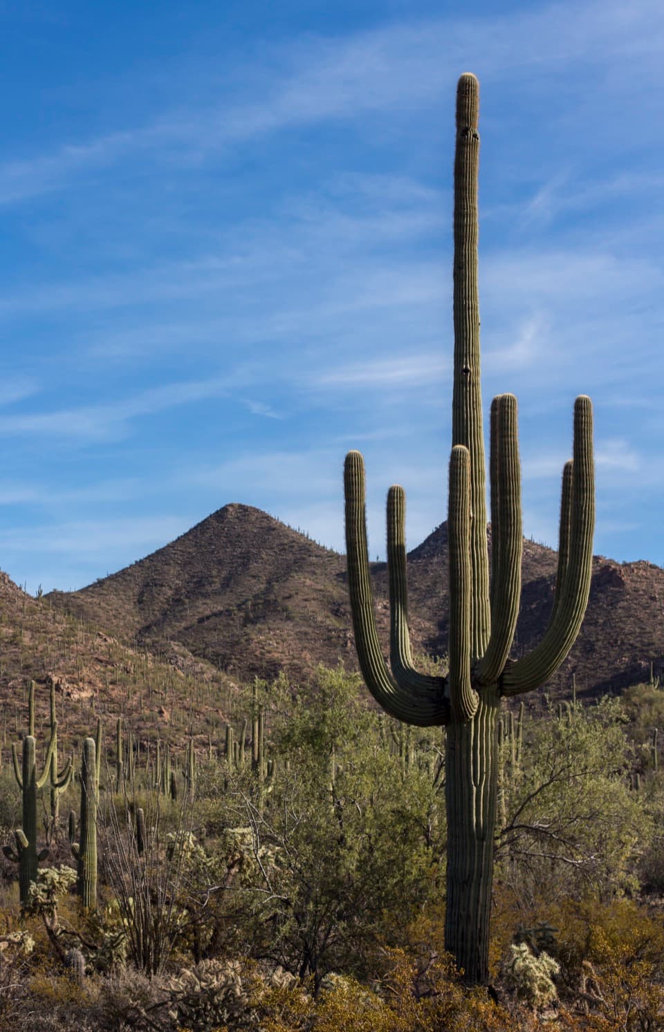
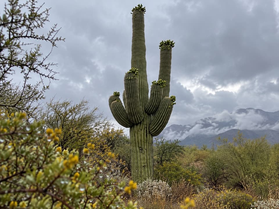
Tucked along the Bajada Loop Drive in the park’s west district, Sus Picnic Area is a mellow, scenic spot ringed by saguaros and low hills. It’s one of the CCC-era sites from the 1930s, so you get sturdy stone tables, grills, and shaded ramadas with a little history baked in.
What You’ll Find
- Covered picnic tables, stone grills, and waterless restrooms.
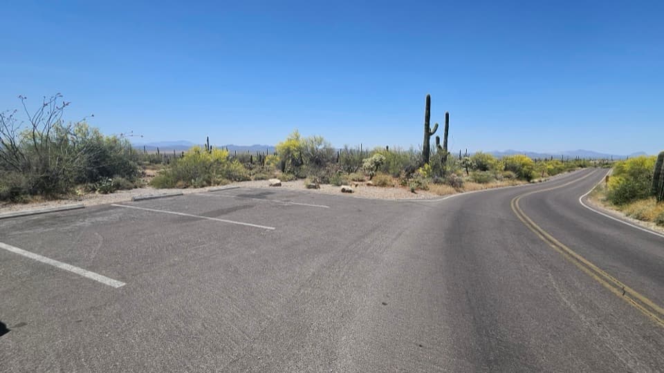
- Parking for cars (and space for larger vehicles) with trash/recycling bins.
- A legit photo stop right from the picnic area—no big hike required.
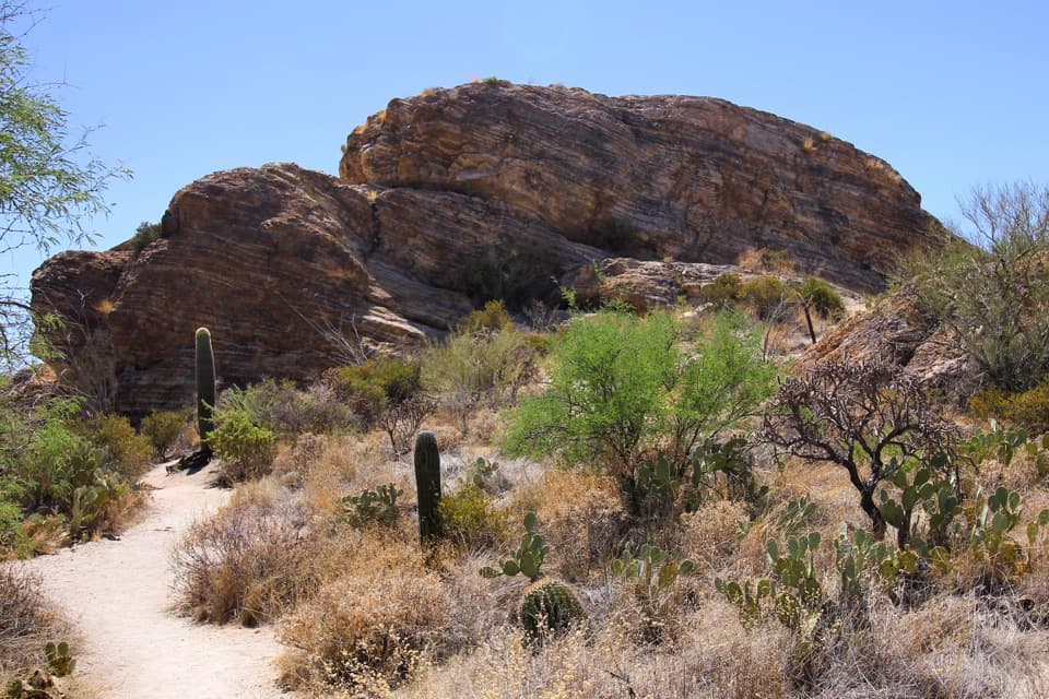
- The Bajada Wash Trail starts here, with easy access to the wash and connections; the wash itself is a relaxed wander and a good way to stretch your legs.
Why It’s Unique
Just downstream from the picnic tables are 1930s Civilian Conservation Corps check dams—small stone structures that slow runoff, catch sediment, and quietly store stormwater in the wash. After monsoon rains, moisture seeps out below the dams like tiny springs, drawing birds and other wildlife. It’s a rare chance to see how simple desert waterworks support the ecosystem, all within a short stroll of your lunch spot.
Getting There
Sus sits off Hohokam Road on the 6-mile, well-graded dirt Bajada Loop Drive. Most visitors drive the loop counter‑clockwise, making Sus the first official stop. It’s also the closest picnic area to the Red Hills Visitor Center, so it’s easy to pair with a quick stop for maps and orientation.
Best Time to Visit
This is a sunrise-to-sunset, day-use kind of place. Go early or late for softer light on the saguaros and cooler temps. After summer monsoon storms, check the wash below the dams for seep flow and wildlife. Midday can see a small bump in activity (especially late morning to noon on Fridays), but overall it’s typically calm—weekday evenings can feel downright empty. In hot months, plan your meal for early morning or late afternoon shade.
Need-to-Know
- No water here—bring all you need.
- Dirt road access is generally fine for low-clearance vehicles, but expect some washboard.
- Washes can flash flood during storms—don’t enter the wash if weather looks dicey.
- Park pass required for entry; day-use only.
Where it is
32.2719, -111.2111Tips for Sus Picnic Area
- 01Bring plenty of drinking water—there’s no potable water on-site.
- 02After monsoon rains, walk down the wash to see seep springs below the CCC check dams.
- 03Drive the Bajada Loop counter‑clockwise to make Sus your first, easy pull-off.
- 04Avoid entering the wash during storms; flash flooding is real here.
- 05The dirt road is usually fine but can be washboarded—slow down and give yourself time.
Amenities
Near Sus Picnic Area
All places →All trails →
0.5 mi awayHugh Norris TrailSaguaro-studded ridge climb to Wasson Peak with all-day desert viewsChallenging · 9.1 mi · 5.1 hr
0.6 mi awayBajada Scenic LoopClassic dirt-road cruise past giant saguaros with quick hikes and petroglyphsTrailhead · Pullout
0.7 mi awayDesert Discovery Nature TrailHalf-mile paved loop through giant saguaros with sunset-friendly viewsEasy · 0.5 mi · 18 min
0.9 mi awayValley View OverlookShort stroll to a sweeping saguaro-studded valley panoramaTrailhead · Parking
0.9 mi awayValley View Overlook TrailShort, easy stroll to a big Sonoran Desert sunset vistaEasy · 0.8 mi · 30 min
1.2 mi awaySignal Hill TrailFast climb to ancient rock art and a wide, sunset-ready desert viewEasy · 0.3 mi · 30 min
1.3 mi awaySignal Hill Petroglyph SiteShort climb to 200+ Hohokam petroglyphs and desert viewsTrailhead · Restroom
1.4 mi awayRed Hills Visitor CenterBest first stop: exhibits, film, deck views, and water refillRestroom · Exhibit