Parking
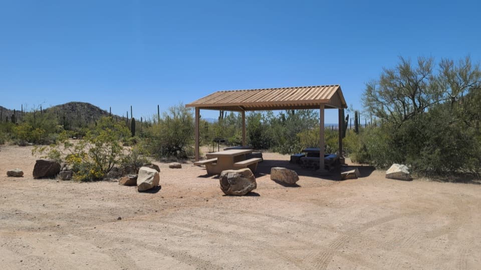
Park at Signal Hill Picnic Area in the Tucson Mountain District. The picnic area has parking, restrooms, tables and a shelter; no food service or drinking water is listed at the trailhead.

#8 of 74 trails in Saguaro
Saguaro National Park, AZ
A quick rocky climb to Hohokam petroglyphs and desert views.
Overview
Signal Hill Trail is a short out-and-back from Signal Hill Picnic Area to a low, boulder-covered hilltop with more than 200 petroglyphs and open desert views. It’s a good choice if you want a little walking and a distinctive cultural site without giving up half a day. Plan on about 0.3 miles round trip and roughly 30 minutes with time to look. Published estimates for the standalone walk range from about 0.3 to 0.4 miles, so the exact count depends a little on where you start in the picnic area. The 4.3-mile Cactus Wren/Signal Hill/Manville loop is a separate, much longer outing.
 Parkwolf’s verdictIs this the walk for you?
Map & elevation
Plan your hike

The highest, rockiest slopes around here are a summer buffet for grizzly bears.
Saguaro Tour Guide
Parkwolf is a GPS audio tour guide for Saguaro National Park. As you drive, it chimes in with what’s ahead: hidden gems, upcoming stops, history, geology, and wildlife, right through your car’s speakers.
See the Saguaro audio tourRecorded for this trailhead
Signal Hill Petroglyphs“You're approaching Signal Hill, where more than two hundred Hohokam petroglyphs cover the dark boulders. Keep this stop if you want a little history alongside the cactus scenery.”
Plays as you drive up to this trailhead in the Parkwolf Saguaro Tour Guide.
More stories near here in the app
“Fantastic app with many points of information… It’s great to just turn on while you’re driving and it gives you an audio tour of the national Park. We love it!!!!”


Trail guide
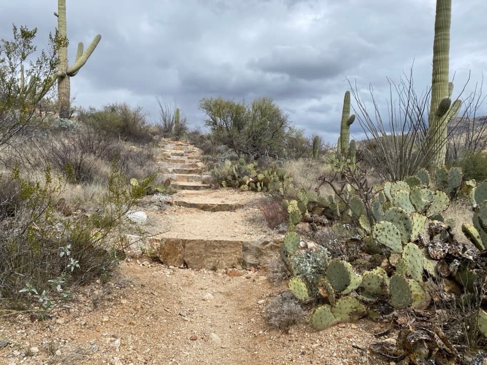
From the picnic area, a dirt path dips toward a wash and crosses it before climbing the rocky hill. Look carefully along the wash; some carved panels can be spotted before the main climb. Near the top, the path uses uneven ground steps and rough rock. The ascent is brief, but it comes quickly, so this isn’t a paved stroll or a good choice if steps and uneven footing are a problem. The trail is not ADA accessible. Turn around at the petroglyph area and return the way you came.
The rock art is the reason to come. Many panels sit on dark boulders along the designated path, with geometric, human-like and animal-like forms among designs that don’t fit an easy category. The carvings are associated with Hohokam people; their precise meanings aren’t known. Keep your eyes on the rocks as you walk, but stay on the marked trail. Touching or stepping on a panel can damage it, and you don’t need to climb onto the boulders to get a good look.
That dark surface is desert varnish, a thin coating that builds slowly as clay and iron and manganese oxides collect on exposed rock, with lichens and bacteria involved in the process. The carvings have been estimated broadly at about 550 to 1,550 years old, but they haven’t been directly dated with artifacts from this site. Over time, new varnish can darken a carved surface again. It’s a good reason to leave the rock exactly as you found it rather than tracing a design or rubbing dust away.
Signal Hill’s picnic area has parking, restrooms, tables and a shelter, so it works well as a short stop or a picnic break. There’s no food service or drinking water listed at the trailhead; bring water for the walk. Pets aren’t allowed on this trail, though service animals are exempt. The hilltop’s saguaro-and-mountain backdrop makes a memorable photo: frame a carving with the desert behind it, and take the picture from the path. In summer, heat can reach the mid-90s to low 110s; the park advises keeping outdoor activity before 10 a.m. or after 4 p.m.
Wildlife
 19 sightingsBlack BearMost seen around 6 AMSighting map
 56 sightingsMountain LionMost seen around 6 AMSighting map
 266 sightingsMule DeerMost seen around 6 PMSighting map
 113 sightingsCollared PeccaryMost seen around 6 PMSighting map
 53 sightingsBobcatMost seen around 6 AMSighting map
 127 sightingsCoyoteMost seen around 6 PMSighting map
Sighting maps show where each species has been reported across Saguaro. Wildlife moves, so no sighting is guaranteed.
Keep exploring
ModerateCactus Wren/Signal Hill/Manville Loop4.3 mi · 2.3 hr · At the trailheadA 4.3-mile loop past petroglyphs and through saguaro flats. EasyWild Dog Trail1.8 mi · 1.2 hr · 1.1 mi awayA 1.8-mile desert walk from Valley View to the Signal Hill turnoff.
 EasyValley View Overlook Nature Trail0.8 mi · 36 min · 1.1 mi awayWash crossings lead to a wide desert view with ridge benches.
 EasyBajada Wash Trail4 mi · 2 hr · 1.3 mi awayA sandy wash walk among saguaros below close desert hills.
 ChallengingHugh Norris Trail to Wasson Peak10 mi · 5.8 hr · 1.3 mi awayA cactus-lined climb to the broad, bare summit of Wasson Peak.
 ModerateHugh Norris Big Loop6.6 mi · 4 hr · 1.3 mi awayDesert ridgeline views, sharp switchbacks, and a loop through two washes.
 EasyCactus Wren/Encinas/Manville Loop1.7 mi · 45 min · 1.7 mi awayA short, mostly level loop through classic Sonoran desert.
 EasyDesert Discovery Trail0.4 mi · 30 min · 1.9 mi awayA gentle paved loop among saguaros, with signs about desert life.Sight · At the trailheadSignal HillMore than 200 Hohokam petroglyphs on a short desert hill walk.Sight · 1 mi awayValley View OverlookA short cactus walk opens onto Avra Valley and its distant ridges.
 Picnic area · 1.3 mi awaySus Picnic AreaA shaded picnic stop with a little CCC history.
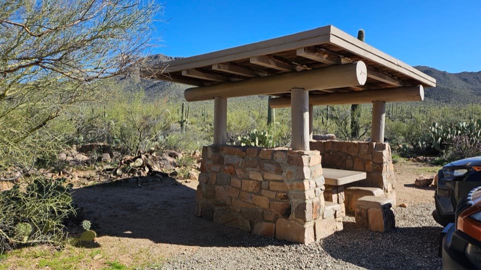 Picnic area · 2.3 mi awayEz-Kim-In-Zin Picnic AreaA stone shelter turns a desert picnic into a proper stop.
 Picnic area · 2.4 mi awaySendero Esperanza Picnic AreaA simple picnic stop at the end of Golden Gate Road
 Visitor center · 2.6 mi awayRed Hills Visitor CenterStart here for desert exhibits, trail advice, and Red Hills views.
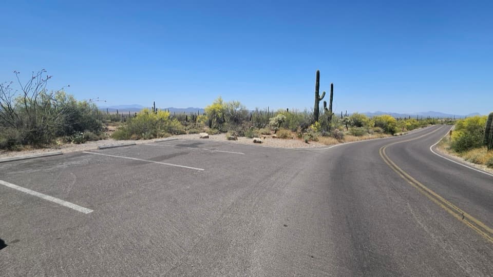 Scenic pullout · 2.8 mi awayKinney Road Sunset PulloutA quick sunset stop with only four parking spaces.
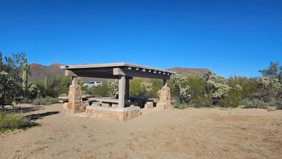 Picnic area · 3.3 mi awayCam-Boh Picnic AreaA shaded meal stop with Panther and Safford peaks to the north.
Parkwolf’s Saguaro ranking
The audio tour guide for the drive, plus offline maps, trails, and wildlife heatmaps for when the signal drops.