Pros & cons
PROS
- Big Avra Valley views for a short, easy walk
- Interpretive signs and a bench at the overlook
CONS
- No restrooms or water at the trailhead
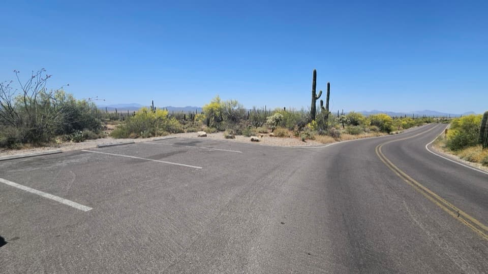
- Small dirt parking lot on an unpaved loop; can fill in peak season
Overview
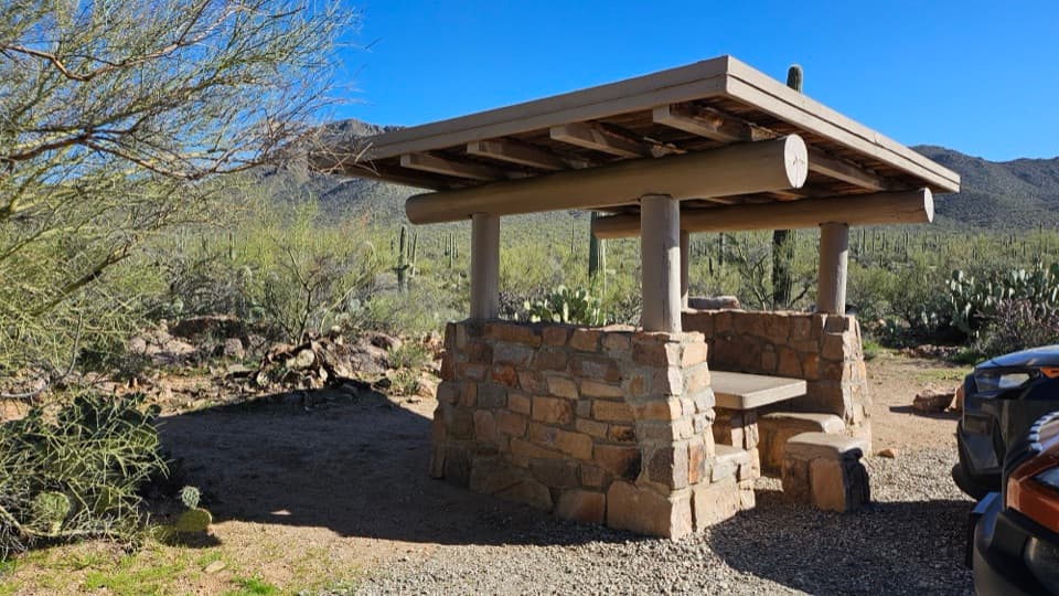
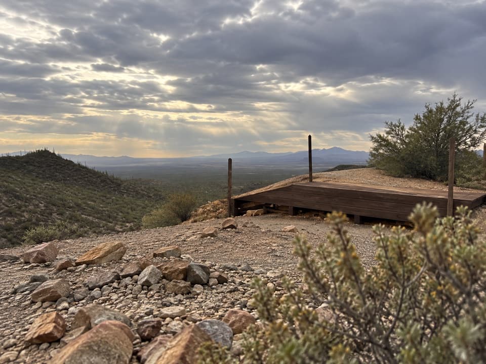
This is the park’s classic quick win in the Tucson Mountain District: an easy, sub‑mile out‑and‑back to a ridge with a sweeping look over the saguaro‑studded Avra Valley. Built by the Civilian Conservation Corps, the path blends gentle stone steps with desert singletrack and ends at a bench where you can soak up the panorama.
What You’ll See
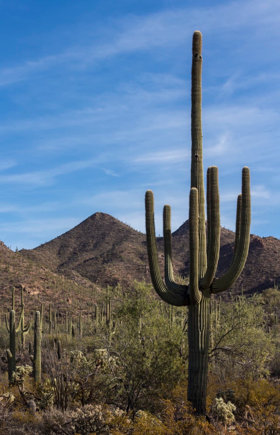
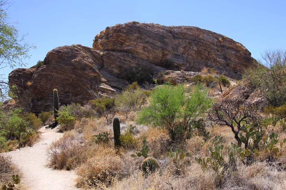
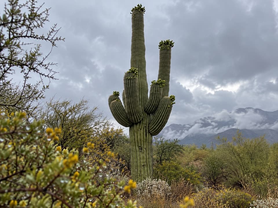
Expect a sea of giant saguaros with long views toward the Rincon Mountains and, on very clear days, Picacho Peak. The trail doubles as a mini desert botany tour—interpretive signs point out common Sonoran Desert plants as you cross a couple of sandy washes and climb gradually to the overlook.
Trail at a Glance
- Distance/elevation: roughly 0.8–1.0 miles round trip with about 50 feet of gain; easy for most hikers.
- Surface: well‑maintained dirt and gravel with short CCC‑built stone steps.
- Amenities: one bench at the viewpoint; otherwise no built facilities.
Getting There
The trailhead sits along the unpaved, graded Bajada Loop Drive in Saguaro West, about 3 miles north of the Red Hills Visitor Center. Standard cars are usually fine in dry conditions, but the road is dirt—check conditions after rain.
Wildlife & Blooms
This is prime saguaro country, and you’ll often spot desert birds and lizards along the way. Spring can bring cholla and other cactus blooms. Don’t count on big‑ticket wildlife here; some visitors report little animal activity on this short stroll.
Add‑On Options
If you want more miles, you can link from the overlook area to nearby routes like the Bajada Wash Trail or Wild Dog Trail. Strong hikers can connect via Dobe Wash toward the Hugh Norris Trail for a far more strenuous outing.
Best Time to Visit
Fall through spring is the sweet spot. In summer, go early or late. Light is best at golden hour, and sunset from the ridge can be excellent. Crowds tend to swell late morning through early afternoon on weekends; weekdays and early starts are quieter. Parking is small but typically manageable outside peak times.
Essentials
There are no restrooms or water at the trailhead—use facilities at Red Hills Visitor Center or picnic areas along Bajada Loop beforehand. Bring sun protection, water, and sturdy shoes for the short stone‑step sections.
Where it is
32.2771, -111.1978Tips for Valley View Overlook
- 01Drive the unpaved Bajada Loop; check road conditions after rain.
- 02Hit golden hour—sunset is outstanding and the heat is kinder.
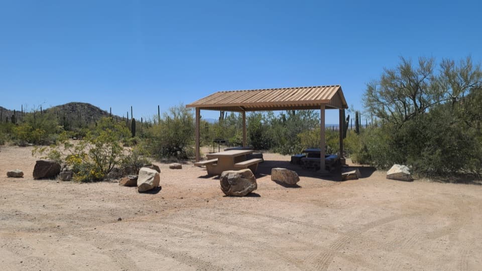
- 03No facilities here; use Red Hills Visitor Center or Sus Picnic Area first.
- 04For extra mileage, continue on Wild Dog or Bajada Wash trails.
- 05Arrive early on weekends to avoid the late‑morning parking crunch.
Amenities
Near Valley View Overlook
All places →All trails →
0 mi awayValley View Overlook TrailShort, easy stroll to a big Sonoran Desert sunset vistaEasy · 0.8 mi · 30 min
0.2 mi awayBajada Scenic LoopClassic dirt-road cruise past giant saguaros with quick hikes and petroglyphsTrailhead · Pullout
0.5 mi awayHugh Norris TrailSaguaro-studded ridge climb to Wasson Peak with all-day desert viewsChallenging · 9.1 mi · 5.1 hr
0.9 mi awaySus Picnic AreaShady CCC-era picnic spot with grills and Bajada Wash trail accessTrailhead · Restroom
1.1 mi awaySignal Hill TrailFast climb to ancient rock art and a wide, sunset-ready desert viewEasy · 0.3 mi · 30 min
1.2 mi awaySignal Hill Petroglyph SiteShort climb to 200+ Hohokam petroglyphs and desert viewsTrailhead · Restroom
1.3 mi awayDesert Discovery Nature TrailHalf-mile paved loop through giant saguaros with sunset-friendly viewsEasy · 0.5 mi · 18 min
1.6 mi awayRed Hills Visitor CenterBest first stop: exhibits, film, deck views, and water refillRestroom · Exhibit