
Place · 2.2 mi away
Moderate

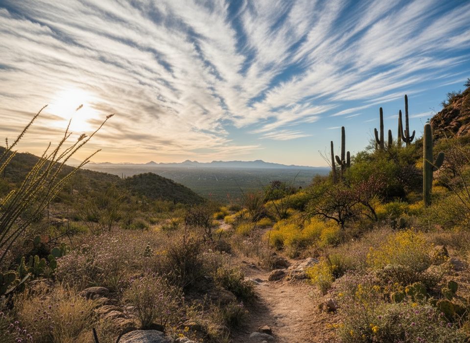
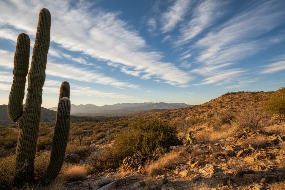
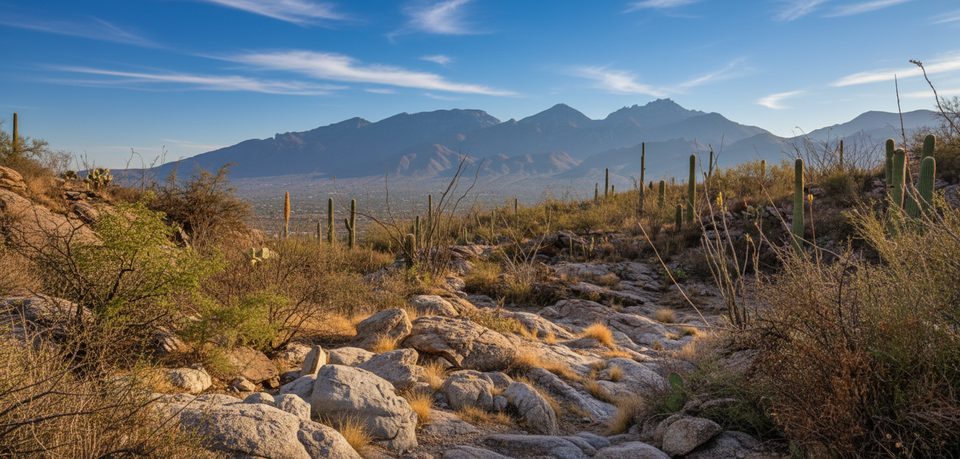
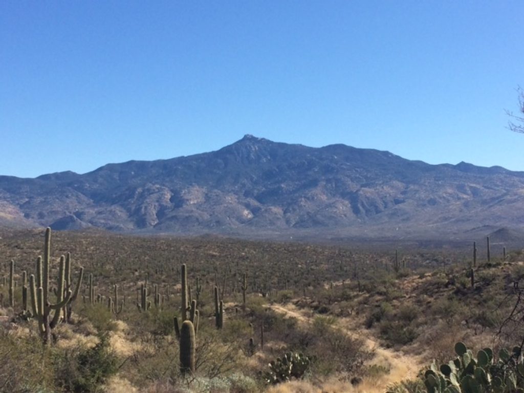
Three Tank Trail is a 2.1-mile one-way connector in the Rincon Mountain District (east side) that links the Douglas Spring and Wildhorse trail networks. Expect a classic Sonoran-desert walk: abundant saguaros, cholla, barrel, hedgehog, and prickly pear, steady ups and downs, and almost no shade. On its own, it’s a solid, moderate traverse; in practice, most hikers fold it into loops.
The trail itself is about 2.1 miles one way with roughly 715 feet of gain (about 770 feet accumulated). There’s no direct vehicle trailhead for Three Tank, so you’ll reach it via other trails, most commonly from Douglas Spring Trail. Good options:
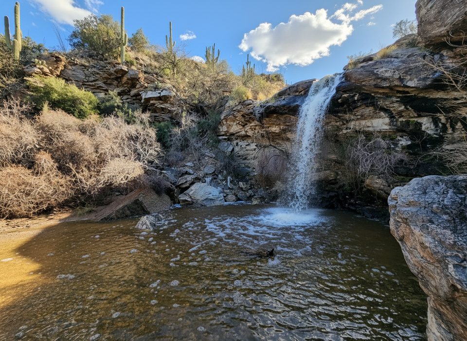
This route is named for historic water features: Aguila Tank, Mica Tank, and Steel (a metal) Tank. Water is seasonal—best after monsoon storms or winter rains—so treat the tanks and creeks as scenic bonuses, not resupply. The trail loosely follows Deer Valley Wash in places, with occasional pools after rains. Views swing between saguaro forests and broad desert-mountain panoramas.
Rated moderate overall. Footing is generally good but rocky, with a few steeper stretches. Some wash crossings can feel less defined—watch for posts or signs through those sections. Because this is a connector in a dense trail network, carry a map; cell service can be unreliable.
This is prime desert habitat. In warm months, be alert for rattlesnakes and even Gila monsters, especially near Aguila Tank. Give wildlife space. There is little to no shade—start early, bring more water than you think you need, and wear sun protection. Dogs are not allowed.
Start from the Douglas Spring Trailhead at the east end of Speedway Boulevard. The lot is modest; arrive early on weekends and in peak season.
Cool-season months are best. Local hikers favor winter through spring—roughly December to April—with especially pleasant conditions in January–March and November. Spring can bring cactus blooms; summer heat is intense. After monsoon storms, tanks and nearby seasonal waterfalls (via spurs off Douglas Spring) are more likely to have water.
As a standalone name on a map, Three Tank is a connector. As part of a loop, it shines: great saguaro country, a touch of history at the tanks, and big views without extreme mileage. If you want an iconic single objective, you might target nearby seasonal falls via Douglas Spring when they’re running. If you prefer a flexible, build-your-own desert loop with character, Three Tank is a strong pick.
Park at the Douglas Spring Trailhead at the end of E Speedway Blvd; small lot, arrive early on busy days.
Full sun exposure and heat, no reliable water, rattlesnakes/Gila monsters possible; cell service can be spotty and washes can obscure the path—carry a map. No dogs.
Place · 2.2 mi away
Place · 2.6 mi away
Place · 2.8 mi away
Place · 3.8 mi away
Challenging · 0 mi away
Challenging · 0 mi away
Moderate · 0 mi away
Challenging · 0 mi away

Parkwolf Tour Guide
