
Place · 0 mi away
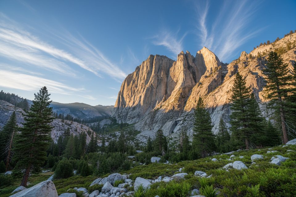
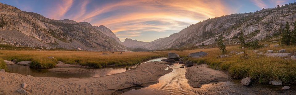
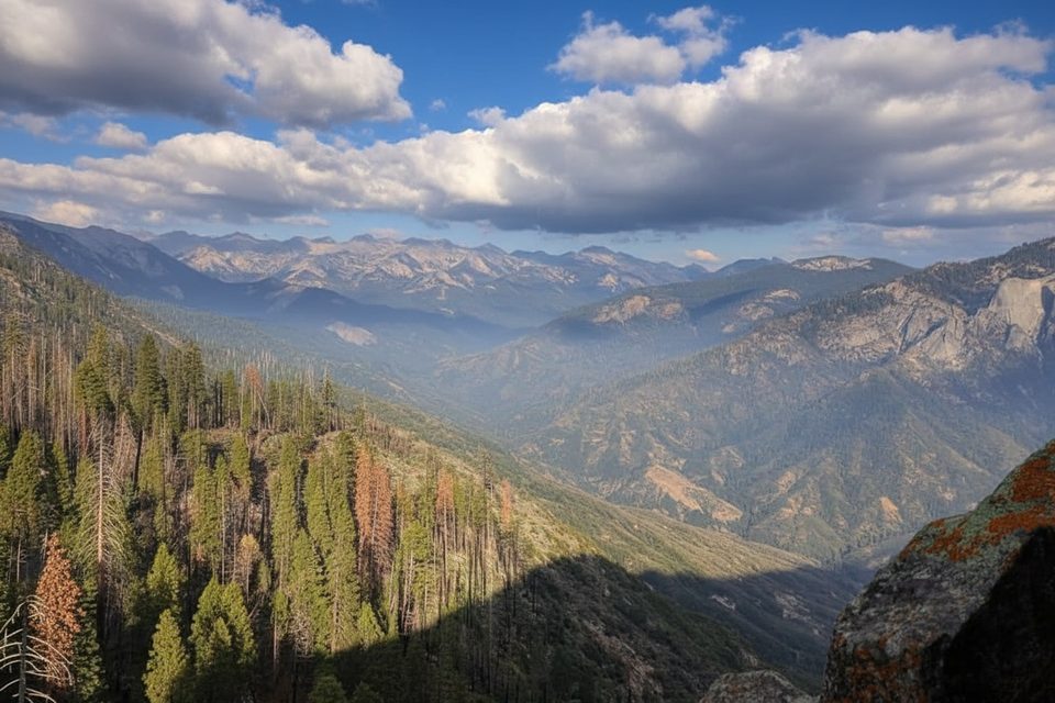
Angel Wings is a colossal granitic wall looming above Hamilton Lakes on the west side of the Great Western Divide. It’s remote, dramatic, and unapologetically wild—one of those places that rewards effort with goosebump views and a true backcountry feel. Its south face is the park’s largest rock wall and is often described by climbers as one of the biggest faces in the Sierra outside Yosemite.
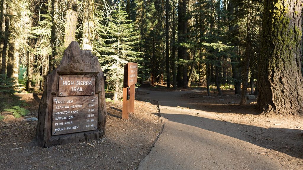
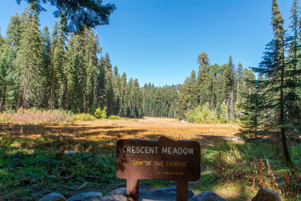
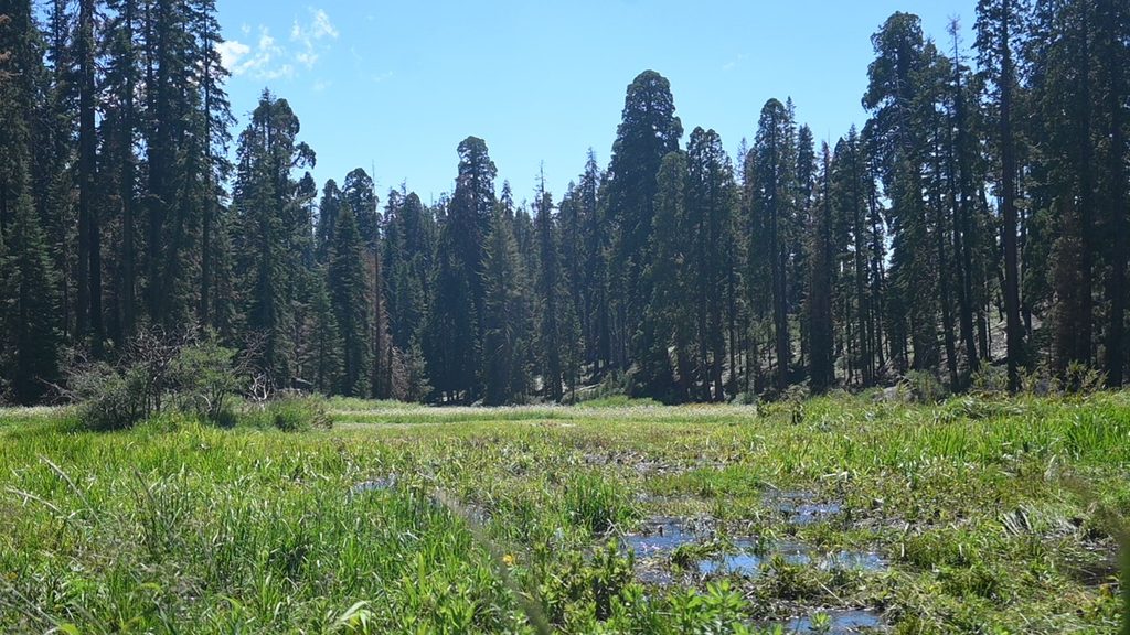
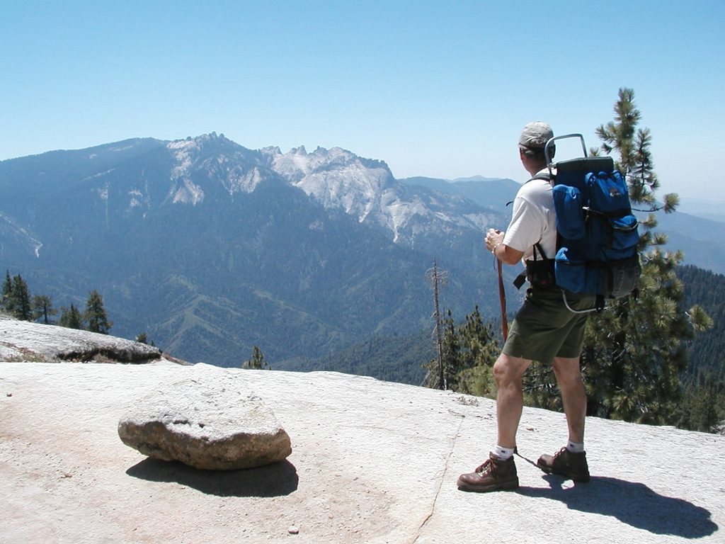
Most parties start at Crescent Meadow in Giant Forest and follow the High Sierra Trail east to Hamilton Lake, with Angel Wings rising above the basin. It’s roughly 16 miles from the nearest road, so plan this as a multi-day trip. Expect no amenities at the wall itself. Park roads to the trailhead are steep and winding, summer shuttles may operate, and there’s no gas in the parks—fill up before you enter.
This is big, remote granite with long alpine rock routes spanning classic grades. Notable lines on the formation include the South Face, South Arête (5.9), Wings Over the Sierra (5.9), Hell on Wings (5.10), South Arête Direct (5.12), Just a Rock in the Park (5.10), Valkyrie (5.11), and Val Kilmer (5.11). Check for any temporary wildlife-related closures on the cliff.
Angel Wings is part of the Sierra Nevada batholith—granitic rocks that crystallized at depth during Cretaceous subduction before uplift and erosion revealed today’s cliffs. Repeated glaciations sculpted this country into U-shaped canyons, hanging valleys, and cirques; waterfalls spill hundreds of feet from the monolith’s flanks above the lakes. The broader parks still hold a few small remnant glaciers, underscoring that icy past. Snow, rain, and steep relief continue to shape the face and drain into tributaries of the Middle Fork of the Kaweah River.
Overnight trips require a wilderness permit. Many parties stage through Hamilton Lake, which carries a one-night camping limit—have alternates mapped out. Use bear-resistant storage per park rules (bear boxes at major trailheads; carry a canister in the backcountry). Dogs are not allowed on the High Sierra Trail. Always verify current road status, shuttle operations, and any cliff closures before you go.
This is alpine country: weather rolls in from the Pacific and drops precipitation as systems lift over the range. Snow often lingers at higher elevations, so timing matters. Summer into early fall tends to offer the most stable travel and climbing conditions, but always check current trail and snow reports.
For the approach, early morning departures from Crescent Meadow help with parking and heat. Weekdays are typically quieter than weekends, and starting before mid-morning avoids the peak bustle around the trailhead. For photography, late afternoon light can paint the south face beautifully from around Hamilton Lakes.
Bears are active along the approach—follow strict food storage rules. Peregrine falcons may nest on cliffs; respect any temporary closures. As with any long approach at altitude, build in time for acclimatization and keep a conservative weather margin.
Place · 0 mi away
Place · 0.3 mi away
Place · 0.4 mi away
Place · 0.4 mi away
Challenging · 0 mi away
Challenging · 0 mi away
Easy · 0 mi away
Easy · 0 mi away

Parkwolf Tour Guide
