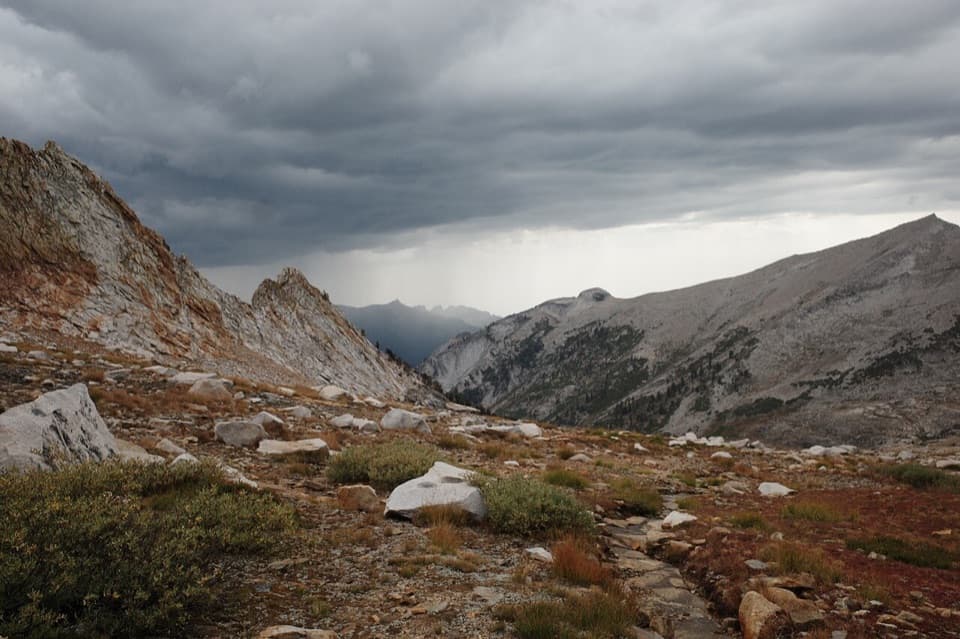
Place · 0 mi away
Challenging

Elizabeth Pass is a high, rugged crossing that links Deadman Canyon (Roaring River side) with the High Sierra Trail near Bearpaw/Hamilton Lakes. Expect solitude, sweeping Sierra views, and honest work. A common through-section for this pass runs roughly 14.7 miles one way between the Tamarack Lake junction and the Roaring River area, topping out around 11,339–11,375 feet. This is not a casual day hike: it’s strenuous, remote, and demands strong legs, good judgment, and solid navigation.
From the Deadman side, the climb to the pass is steep, exposed, and hot—about 3,300 feet in 2.5 miles in places. The north side (Deadman side) has loose talus/scree and faded tread that slows travel. On the west/south side toward the High Sierra Trail, the first mile-plus off the pass is rocky and punishing underfoot; large cairns help keep you on route, but you still need to pay attention. Above the Lonely Lake outlet, expect sections where the tread disappears and you’re following cairns across slabs. Water is generally available from creeks and springs (flows vary with season), but bugs can be intense near water mid-season—permethrin-treated clothing, picaridin, and a head net are worthwhile.
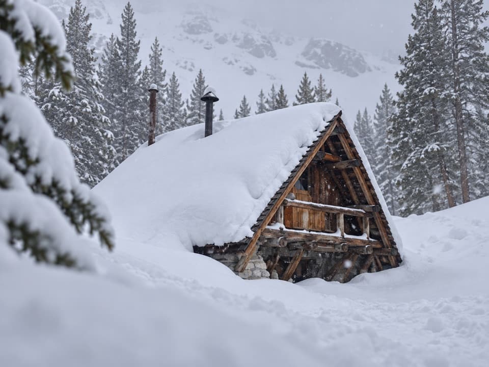
Late July through September is the typical window. Earlier or in high-snow years, expect lingering snow/ice on high, north-facing switchbacks—traction and an ice tool may be warranted if you choose to proceed. Start the Elizabeth Pass climb early to beat heat and take advantage of firmer morning surfaces if snow remains. Afternoon thunderstorms are a reality at these elevations; plan to be over the pass before convection peaks.
As a stand-alone crossing, plan ~14.7 miles one way (not a loop) between the Roaring River side and the High Sierra Trail corridor (via the Tamarack Lake junction), with substantial elevation gain/loss. Many hikers incorporate Elizabeth Pass into a longer Lodgepole–Silliman–Deadman–Elizabeth–HST loop. Traffic is lighter than the High Sierra Trail, especially in Deadman Canyon; you’ll see far fewer people until you rejoin the HST near Bearpaw/Hamilton Lakes. There are bear boxes in the Roaring River Ranger Station vicinity, but don’t count on staff being present—be self-sufficient.
Overnight wilderness permits are required. Proper food storage is non-negotiable—bear canisters are standard practice here, and bears are accustomed to people. Expect mule deer and marmots, too. This is exposed, high-elevation terrain with faint tread, loose rock, and meaningful route-finding. Carry offline maps plus a paper topo/compass; trekking poles are a big help on both the steep ascent and the rocky descent. If you encounter hard, consequential snow above your comfort level, turn around—there are good loop alternatives that bypass the pass.
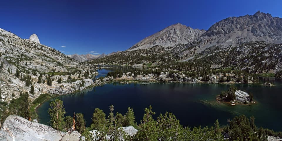
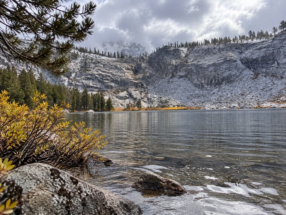
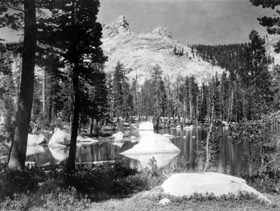
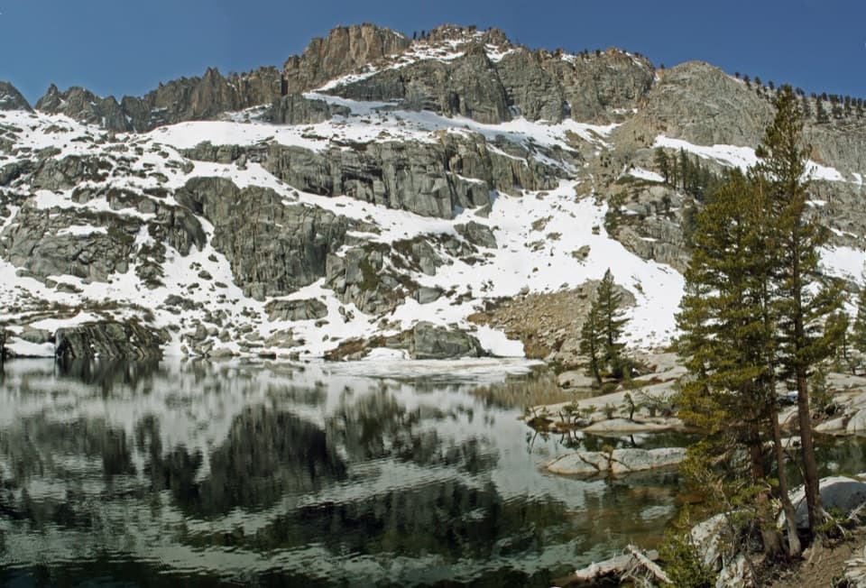
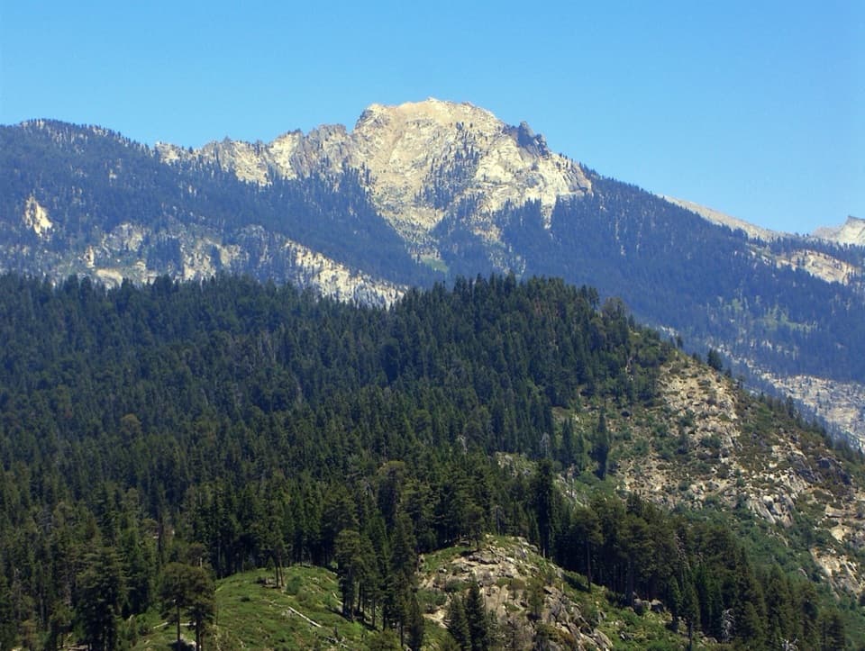
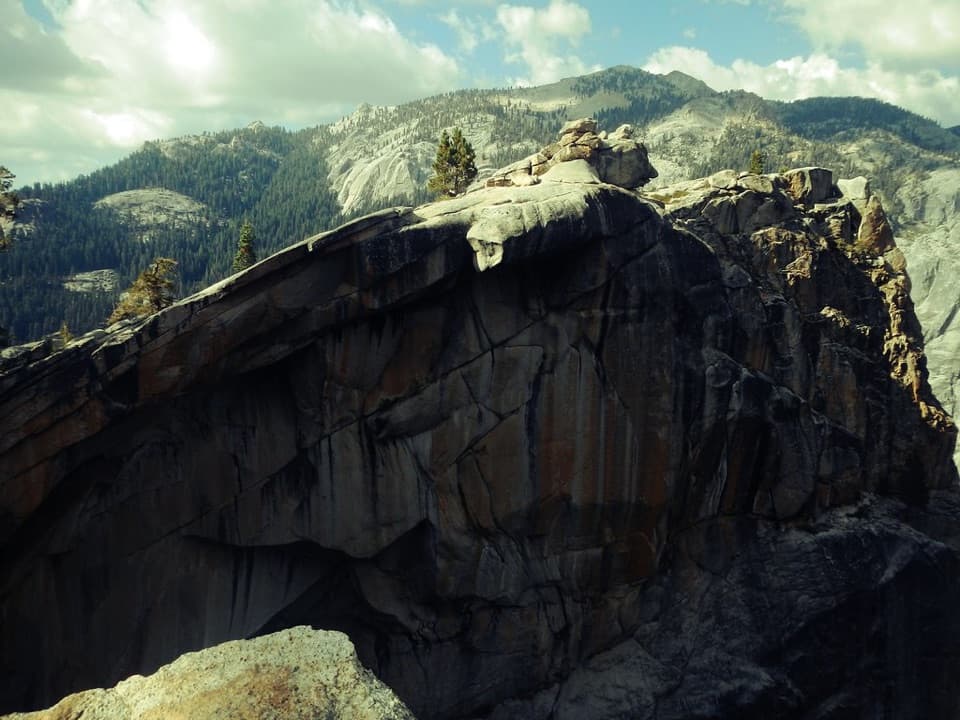
Granite walls and broad meadows in Deadman Canyon, big alpine panoramas from the pass, and classic High Sierra granite country toward Valhalla/Bearpaw. It’s a serious crossing with big rewards—underrated compared to the HST crowds, but with real bite.
Park at Lodgepole or Crescent Meadow depending on your direction; in season, a shuttle links Crescent Meadow and Lodgepole.
Very steep, exposed grades; loose talus and faint tread on the north side; lingering snow/ice possible into late season; strong thunderstorms common; real route-finding required. Use proper bear storage.