Easy

Sugar Pine Trail

Quiet connector between Moro Rock and Crescent Meadow with views
Sugar Pine Trail, Sequoia National Park
Distance3 mi
Typical time1.2 hr
DifficultyEasy
PetsNot allowed

Overview

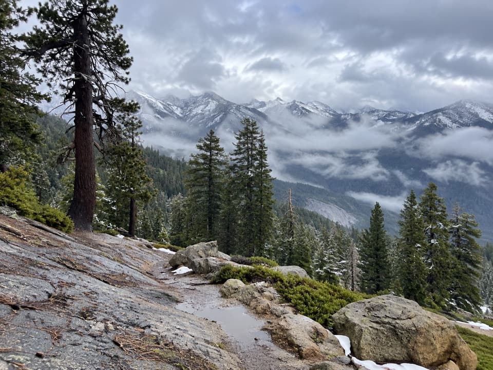
Sugar Pine Trail is a peaceful forest walk that links two Giant Forest hubs—Moro Rock and Crescent Meadow. The trail itself is 1.5 miles one way (about 3.0 miles out-and-back). Many hikers turn it into a short loop that includes Bobcat Point and a stretch of the High Sierra Trail, making for a moderate 1.5-mile loop with roughly 250 feet of elevation change. Expect a mellow grade, a few rocky bits, and a quieter feel than the famous sequoia loops nearby.

Route Options

  • Point-to-point: Hike the 1.5-mile connector between Moro Rock and Crescent Meadow and use the seasonal shuttle to return. Round-trip on foot is roughly 3 miles with about 300 feet of gain.
  • Short loop: From Crescent Meadow, take Sugar Pine Trail to the Bobcat Point spur and return via the High Sierra Trail. About 1.5 miles total with ~250 feet of elevation.
  • Add-ons: Tag the short, steep spur to Bobcat Point for big canyon looks, stroll the Crescent Meadow loop, or climb the Moro Rock stairs if open.

Highlights

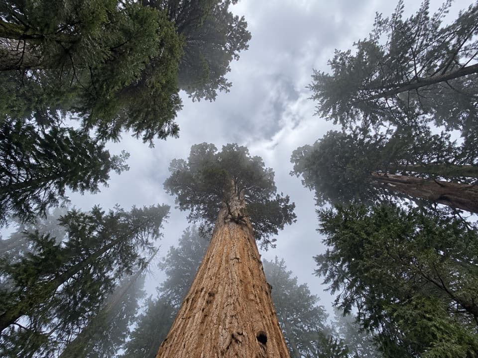
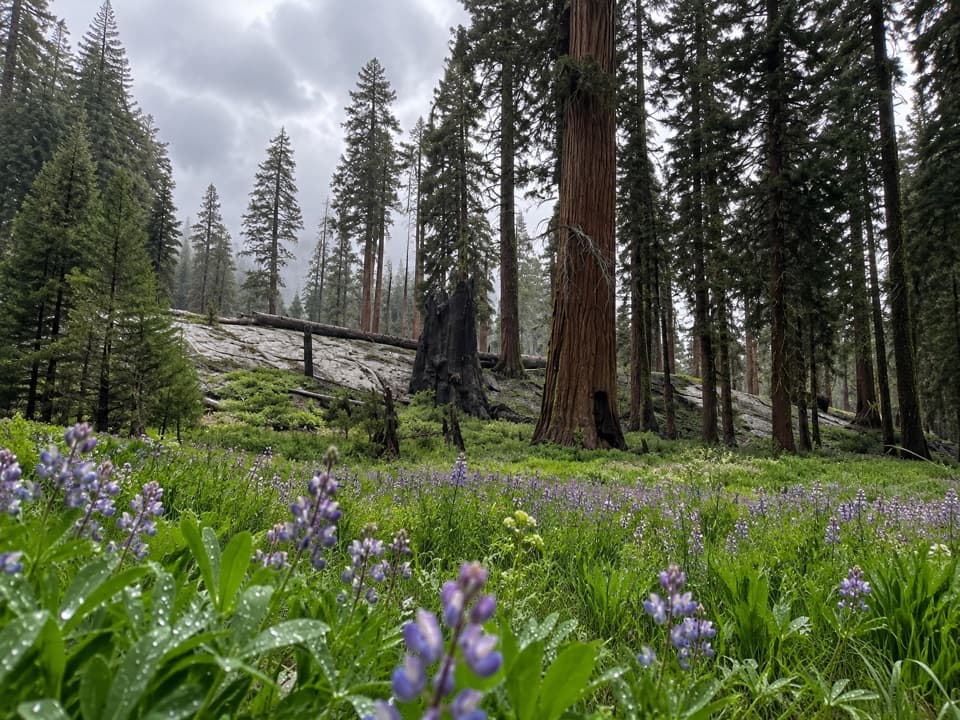
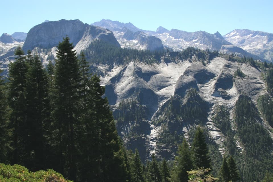
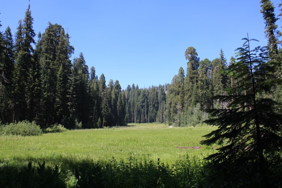
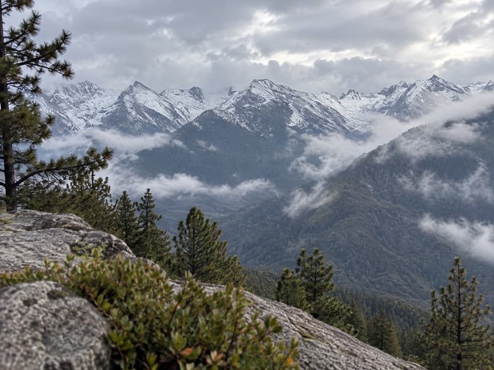
This route is named for elegant sugar pines, famed for their enormous cones (often 12–24 inches). You’ll pass a shady ravine with a small pocket of sequoias near the Moro Rock side, then transition to sunnier pine and cedar slopes. Near Crescent Meadow, a brief spur leads to bowl-shaped “Indian mortars” in granite—evidence of Native American food processing on this landscape. The Bobcat Point outcrop delivers sweeping views into the Middle Fork Kaweah River canyon with a dramatic angle on Moro Rock. The path crosses Crescent Creek at the loop’s low point, where small cascades and pools invite a quick rest; look for seasonal flowers like mustang clover and signs of past wildfire in charred trunks alongside vigorous regrowth.

Logistics

Parking is available at either end, but the Moro Rock lot fills fast. Crescent Meadow usually offers an easier start, and Hanging Rock can serve as overflow near Moro Rock. In peak season, the park shuttle is the stress-free way to make a one-way hike or avoid parking altogether. Note that roads and some features (including the Moro Rock stairs) may close in winter due to snow and ice.

Best Time to Hike

Late spring through fall is the sweet spot for dry trail and open facilities. Start early for soft light, cooler temps, and easier parking; afternoons can be warm and a bit exposed in places. Low-lying sections can be buggy in season, so pack repellent. Winter can be serene, but expect snow, potential closures, and icy sections.

Regulations and Safety

Dogs and bikes are not allowed on this trail. Black bears are common in the Giant Forest—store food properly and never feed wildlife. Bear spray is not permitted in these parks. No special permit is needed for the Sugar Pine/Bobcat Point loop, but the High Sierra Trail (which begins at Crescent Meadow) requires wilderness permits for backpacking beyond day-hike territory.

Pros

  • Short spur to Bobcat Point gives big canyon views for minimal effort
  • Cultural stop at Indian mortars adds context to the landscape

Cons

  • Not a prime giant sequoia walk, so tree lovers may prefer nearby loops
  • Moro Rock parking fills quickly; logistics are smoother from Crescent Meadow

Parking

Park at Moro Rock or Crescent Meadow; Crescent Meadow is usually easier. Hanging Rock can serve as overflow near Moro Rock. In peak season, use the park shuttle to connect trailheads or hike one-way.

Caution

Black bears are active; store food properly. Bear spray is not allowed. Dogs and bikes are prohibited. Expect mosquitoes near drainages in season and possible winter road/trail closures.

The Parkwolf tour guide sitting on a phone mounted in a car

Parkwolf Tour Guide

Like a tour guide in your car.

Bring Sequoia trail research into the car, with offline maps and stories that play as you drive.Download Parkwolf on the App Store