
Place · 1.2 mi away
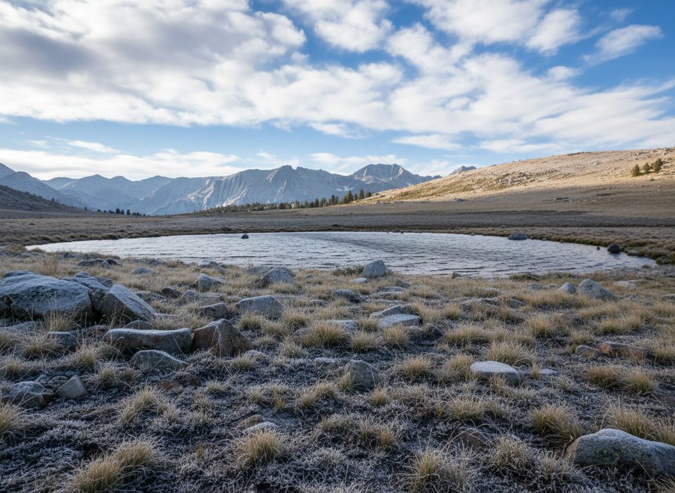
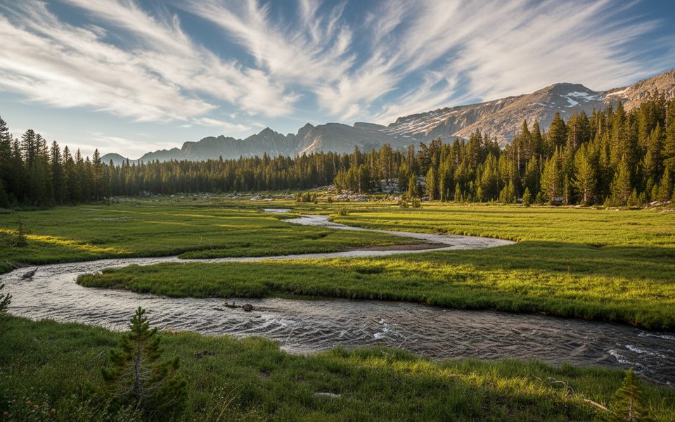
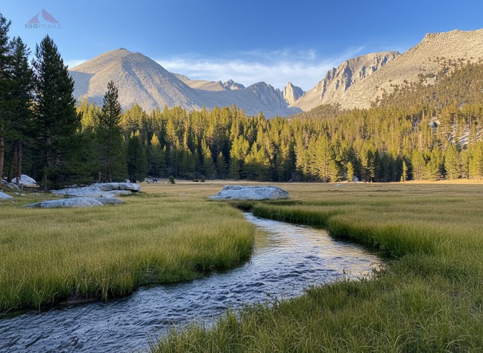
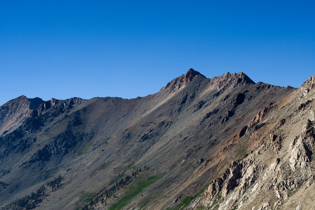
Bighorn Plateau is a high, wind-swept alpine bench along the combined JMT/PCT with knockout views of the Sierra crest to the east and the Great Western Divide to the west. Think big sky, golden-hour alpenglow, and star-filled nights. It’s remote and minimalist—your reward is scenery, solitude from frontcountry bustle, and a sense of the range’s glacially carved scale.
Common approaches follow the JMT/PCT corridor: from the south via Horseshoe Meadow (Cottonwood or New Army Pass) north to the plateau, or from the north via the Forester Pass–Tyndall Creek stretch heading south. Strong backpackers often link this area with nearby basins and high passes on multi-day traverses.
The plateau itself is mostly dry. Reliable water is typically found at its flanks—Tyndall Creek to the north/east and Wright Creek to the south/west. Small tarns on or near the plateau can be seasonal and shallow; don’t count on them late season. Camps can be spectacular but exposed—pick already impacted, durable sites well away from water and the trail, and be prepared for wind. There are no bear boxes; use proper bear-resistant food storage per current regulations.
The prime window is usually July through September in a typical snow year. Early season can hold lingering snow, swollen creek crossings, and mosquitoes. Expect strong sun at ~11,000 feet, cold nights, and the real possibility of altitude effects even on “easy” miles. Afternoon thunderstorms are common—avoid high exposed ground when they build.
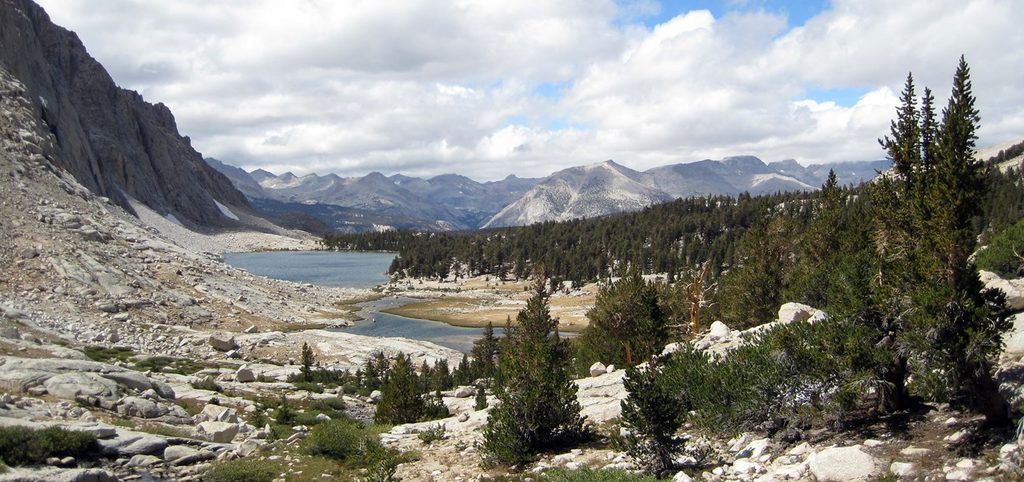
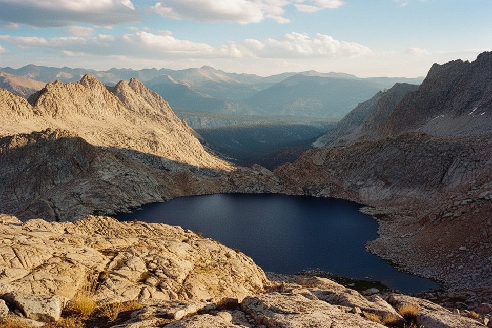
You’re walking a granite highland shaped by repeated glaciations that carved U-shaped valleys, benches, and scattered tarns across the upper Kern Basin. The plateau’s gentle contours and open feel are classic High Sierra glacial signatures—resistant rock polished and planed by ancient ice and then weathered by time.
This is high-country habitat—look for marmots, ground squirrels, raptors, and hardy alpine wildflowers in summer. The area lies within historic range of Sierra Nevada bighorn sheep; sightings are rare, but if you’re lucky enough to see them, give ample space. Creeks and tarns support sensitive amphibians—keep feet and soap out of small waters.
This is true wilderness: no restrooms, no trash cans, no tables, no shelters, and generally no cell service. Practice backcountry sanitation (catholes well away from water, trail, and camp; pack out TP). Wilderness permits are required for overnight trips, and bear-resistant storage is required in some zones and strongly recommended everywhere. Carry a proper map/GPS—snow can obscure tread early season—even though the JMT/PCT is well signed.
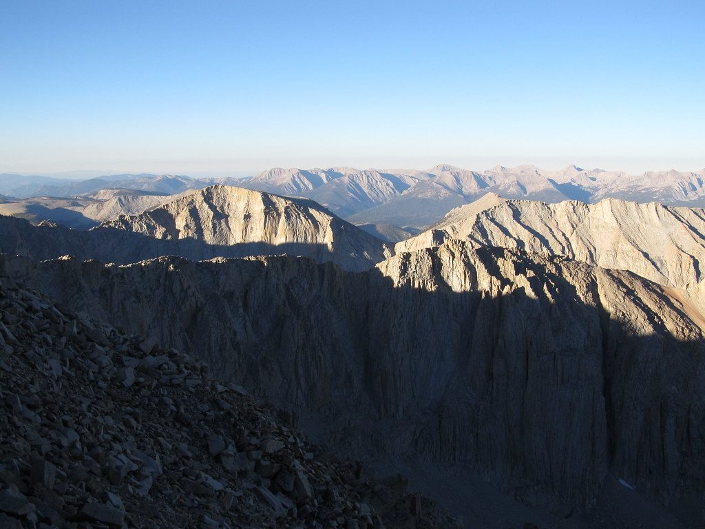
For photography, sunrise and sunset paint the surrounding peaks in warm light; night is phenomenal for stargazing when skies are clear. Summer’s peak season brings the most dependable access and conditions; shoulder weeks at either end of the window can be gorgeous but more variable. Plan your days to be off the exposed high ground before afternoon storms build.
Place · 1.2 mi away
Place · 3.9 mi away
Place · 4.1 mi away
Place · 4.8 mi away
Challenging · 4.8 mi away
Challenging · 7.9 mi away
Challenging · 16.8 mi away
Challenging · 16.8 mi away

Parkwolf Tour Guide
