
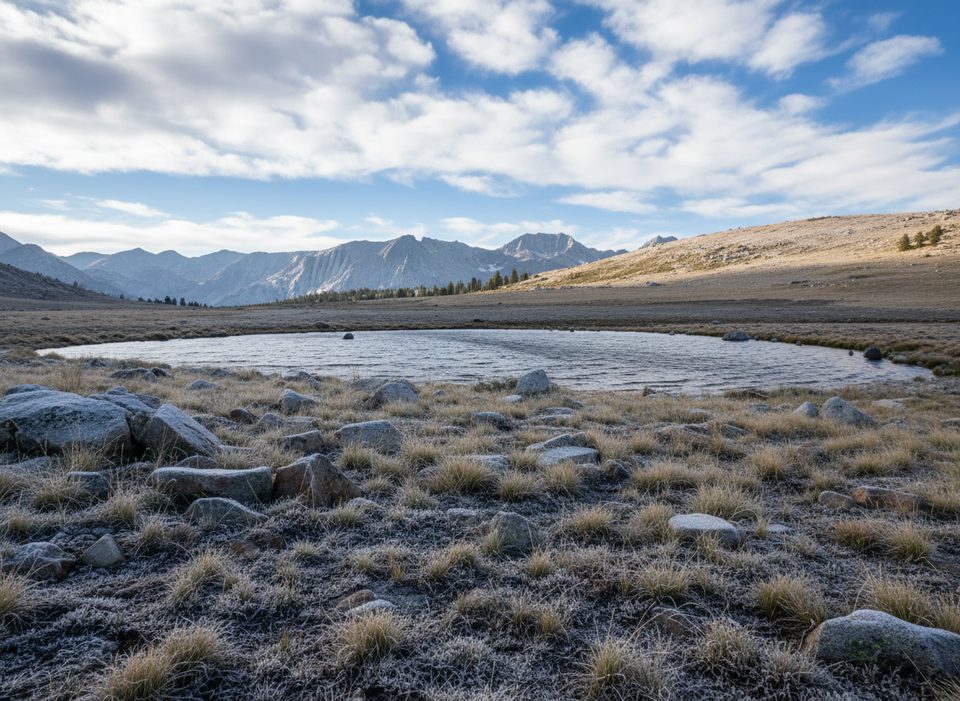
Place · 3.9 mi away
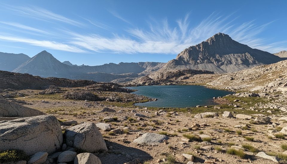
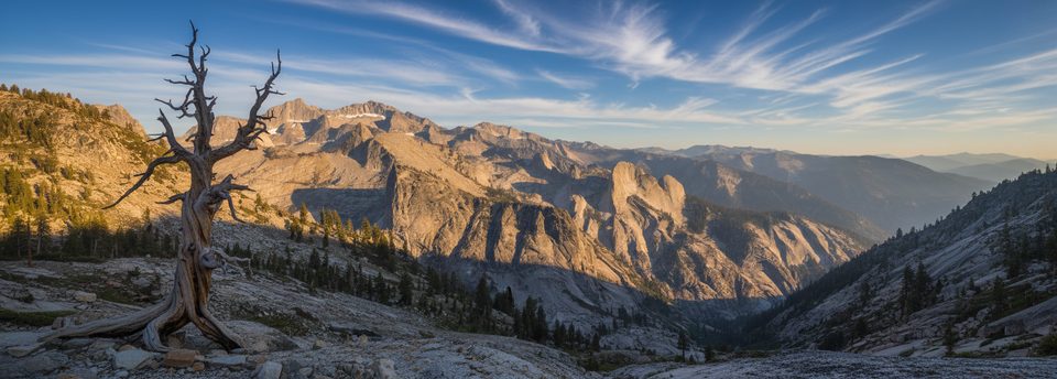
Lake South America sits high in the Upper Kern Basin, a glacially carved, above‑treeline landscape of polished granite, scattered tarns, and sweeping headwaters views. The lake’s distinctive outline draws curious backpackers, but the real appeal is the vast openness and solitude rather than dramatic shore scenery.
Most backpackers approach from the east via Horseshoe Meadow over Cottonwood Pass (or New Army Pass/Cottonwood Lakes), then follow the PCT/JMT north past Tyndall Creek before turning west into the Upper Kern Basin. Expect the final stretch toward the lake to feel off‑trail: faint use paths, sandy ribs, and slabby granite benches. It’s remote, unsigned country—navigation matters.
Travel here blends easy granite walking with short, steep, sandy climbs. You’ll pass rocky knolls, occasional sun‑cupped snow patches in some years, and mosquito‑prone meadows. The basin is classic High Sierra batholith sculpted by ice—broad U‑shaped valleys, benches, and cirque‑fed lakes framed by the Great Western Divide.
Marmots are common in the alpine, and a high‑elevation bald eagle sighting has been reported. On approaches along the Kern corridor, rattlesnakes are possible. Early season or high runoff can make creek crossings tricky; use bridges where provided and treat unbridged fords with real caution. Sun exposure is relentless and lower canyon sections can run hot—carry ample water and protection. In summer, mosquitoes can be fierce in marshy stretches.
This is true wilderness: no restrooms, no bear boxes, no signage at the lake—pack out all waste and follow food‑storage rules. Overnight wilderness permits are required, and east‑side entries like Cottonwood Pass/New Army Pass operate under quotas. A bear canister and full self‑sufficiency are standard here.
Aim for mid to late summer into early fall for the most reliable travel in the Upper Kern Basin. Early season can bring lingering snow and swollen creeks; peak summer can be buggy. Crowds are minimal compared to marquee park spots, but start days early for cooler temps and calmer afternoon winds. Photographers will like soft morning or late‑day light across the granite basins.
If you’re after solitude, headwaters geography, and a bit of route‑finding, yes. If you want a postcard‑pretty lakeshore or an easy day hike, this one can feel austere and is better suited to experienced backpackers linking big Sierra routes.
Place · 3.9 mi away
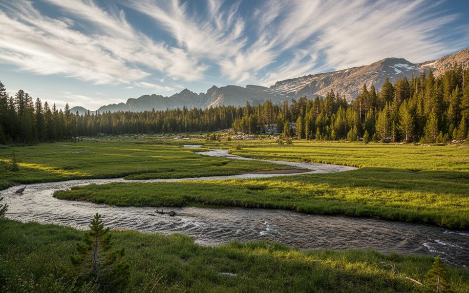
Place · 4.1 mi away
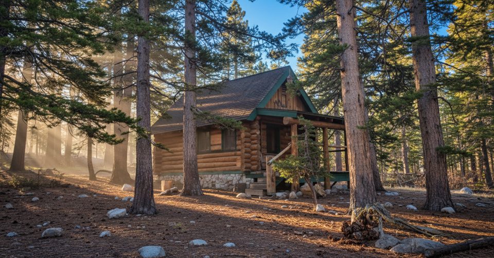
Place · 7.9 mi away
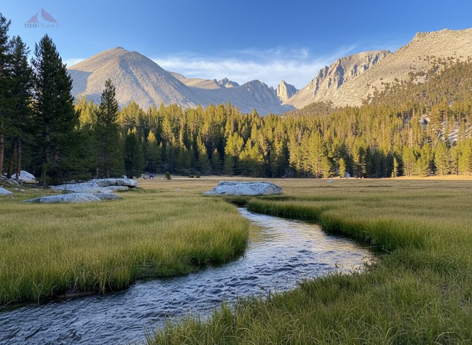
Place · 8.5 mi away
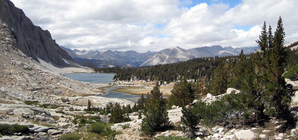
Challenging · 8.5 mi away
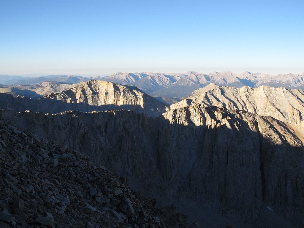
Challenging · 11.3 mi away
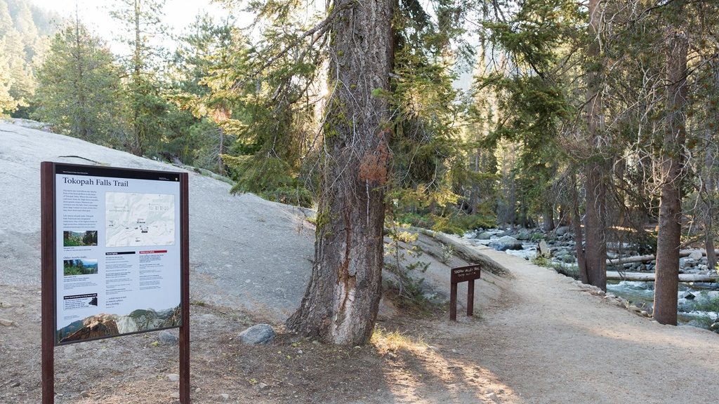
Easy · 17.3 mi away
Moderate · 17.3 mi away

Parkwolf Tour Guide
