Pros & cons
PROS
- High, non‑technical summit reached on a well‑built Class 1 trail.
- Two logical high camps with nearby water make acclimatization easier.
CONS
- Highly competitive permit lottery with firm claim deadlines.
- Mandatory human‑waste pack‑out and bear‑aware food storage add logistics.
Park at Whitney Portal trailhead west of Lone Pine. Large lots with bear‑proof lockers and trailhead toilets; arrive very early during quota season.
Altitude sickness is common; acclimatize and set a conservative turnaround time. Early season snow/ice may require traction and ice axe. Little to no cell service. Mandatory WAG bag use—pack out all solid waste. Short exposed traverse with cable handrails near the crest; strong winds and afternoon thunderstorms are frequent.
Overview
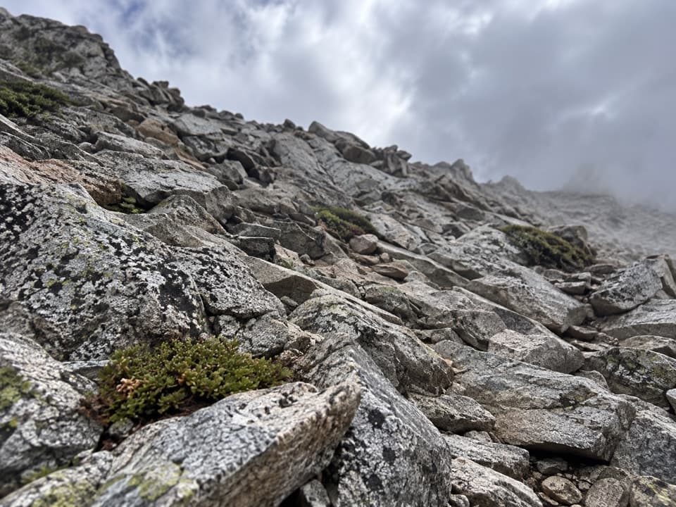
This is the classic non‑technical route to the 14,505‑foot summit of Mount Whitney, an all‑day sufferfest that rewards you with the highest point in the contiguous United States. Expect roughly 22 miles round trip (out‑and‑back, total) with over 6,200–6,600 feet of gain—rocky tread, long switchbacks, and big exposure to sun, wind, and altitude. The trail starts at Whitney Portal on the east side and finishes on the summit within Sequoia National Park.
Route Highlights
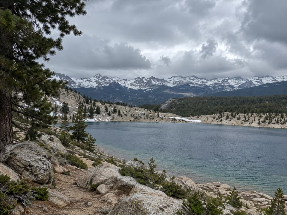
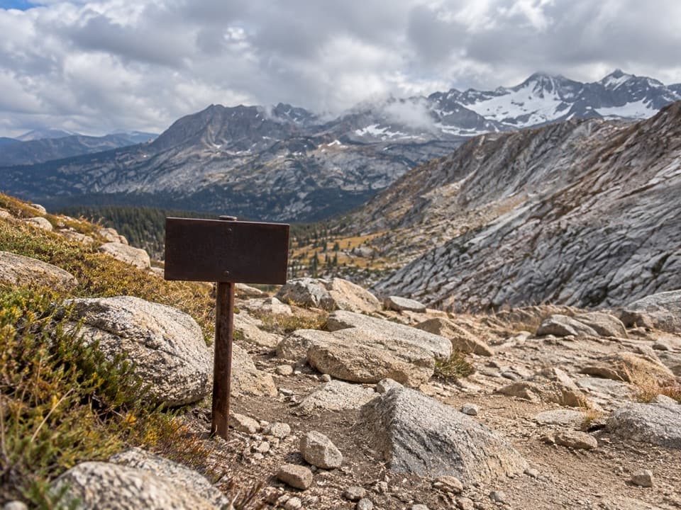
From Whitney Portal, the path climbs along Lone Pine Creek past a chain of photogenic lakes—Lone Pine Lake, Mirror Lake, and Consultation Lake—before reaching Outpost Camp and then Trail Camp (the high, exposed basin below the switchbacks). The infamous “97” (often called 99) switchbacks haul you up to Trail Crest, where a short traverse along the crest—with some airy sections and one spot with cable handrails—leads to the summit and the historic stone shelter. Note you’ll lose some elevation beyond Trail Crest that you’ll re‑climb on the return.
Difficulty and Who It’s For
This is a very strenuous hike even for fit, experienced hikers. The altitude is the wildcard—many strong hikers get slowed or stopped by it. Acclimatize if you can, start pre‑dawn (2–4 am is common), pace yourself, and bring a real headlamp for the early/late miles.
Permits and Regulations
Permits are required year‑round for the Mount Whitney Zone, with a competitive quota‑season lottery for both day‑use and overnight trips. Lottery results post in mid‑March with deadlines in April to claim; unclaimed spots roll out afterward. If you are only day‑hiking to Lone Pine Lake, the dedicated Whitney permit isn’t required, but overnight camping anywhere still requires a wilderness permit. Pack out all solid human waste—WAG bags are provided and mandatory. Bears are active at Whitney Portal: store food in bear boxes at the trailhead, keep your pack with you, and use a bear‑resistant canister for overnights. Dogs are not allowed on trails where the route enters Sequoia National Park, including the summit area.
Camping and Water
Popular camps break the climb into two days: Outpost Camp (about 3.8 miles from the trailhead, in a sheltered meadow with flowing water) and Trail Camp (about 6 miles, exposed, windy, and rocky). The small lake at Trail Camp is the last reliable water; treat all sources. Camping is allowed at Lone Pine Lake and Consultation Lake (follow distance rules from shore and trail), but not at Mirror Lake or Trailside Meadow.
Best Time to Hike
The main hiking window is typically July through late September when the route is usually snow‑free and non‑technical. In spring and early summer, expect snow and ice—traction (microspikes or crampons) and an ice axe may be necessary, along with comfort on firm snow. Summer afternoons often bring thunderstorms; an early start helps you tag the summit and get off high ridges before weather builds.
Gear and Tips
Bring layers (including windproof/waterproof shells, hat, and gloves), plenty of calories, and enough water capacity to bridge dry stretches—then filter from natural sources. Trekking poles save knees on the long descent. A firm turnaround time is smart given distance, altitude, and fickle weather. Don’t rely on cell service for navigation or help.
Elevation
22 mi · 13 hrWhere it starts
36.5870, -118.2401Wildlife on this trail
Near Mount Whitney Trail
All places →All trails →
3 mi awayMount WhitneyHighest Lower 48 summit via a demanding alpine trekScenic Viewpoint
3 mi awaySmithsonian Institution ShelterHistoric summit hut on Whitney with big views and bigger weatherScenic Viewpoint
3.4 mi awayTrail CrestHigh, windy pass with knockout ridge views on the Whitney route
4.2 mi awaySky Blue LakeRemote sapphire lake in a granite amphitheater of Miter Basin
6.9 mi awayCrabtree Lakes TrailRemote alpine chain above Crabtree Meadow with faint pathsChallenging · 7.4 mi · 6 hr
21.8 mi awayFranklin Lakes TrailSteady Mineral King climb to alpine lakes beneath the Great Western DivideChallenging · 12 mi · 6.5 hr
21.8 mi awayFranklin Pass TrailMineral King’s big pass with lakes, red rock, and wide-open viewsChallenging · 21.4 mi · 12 hr
21.9 mi awayUpper Big Five Lakes TrailQuieter, view-rich alpine basins off Mineral King’s classic loopChallenging · 30 mi · 96 hr