
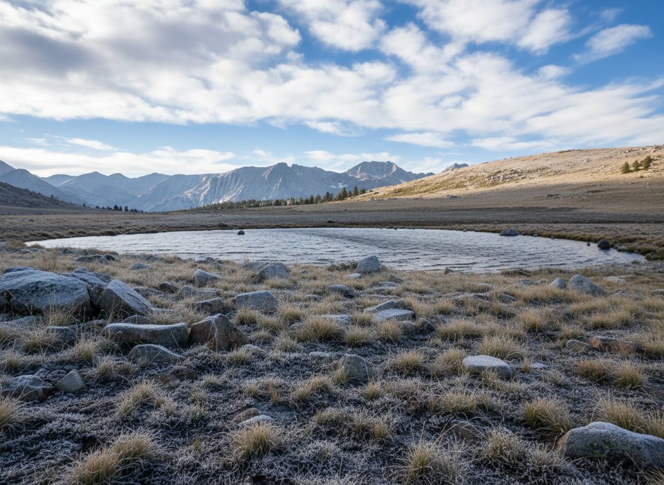
Place · 1.2 mi away
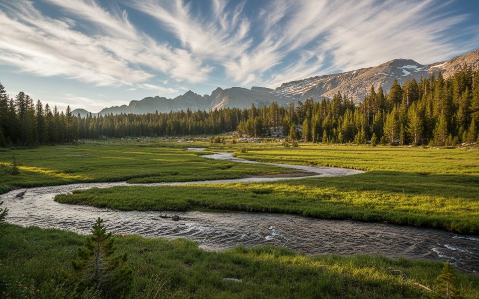
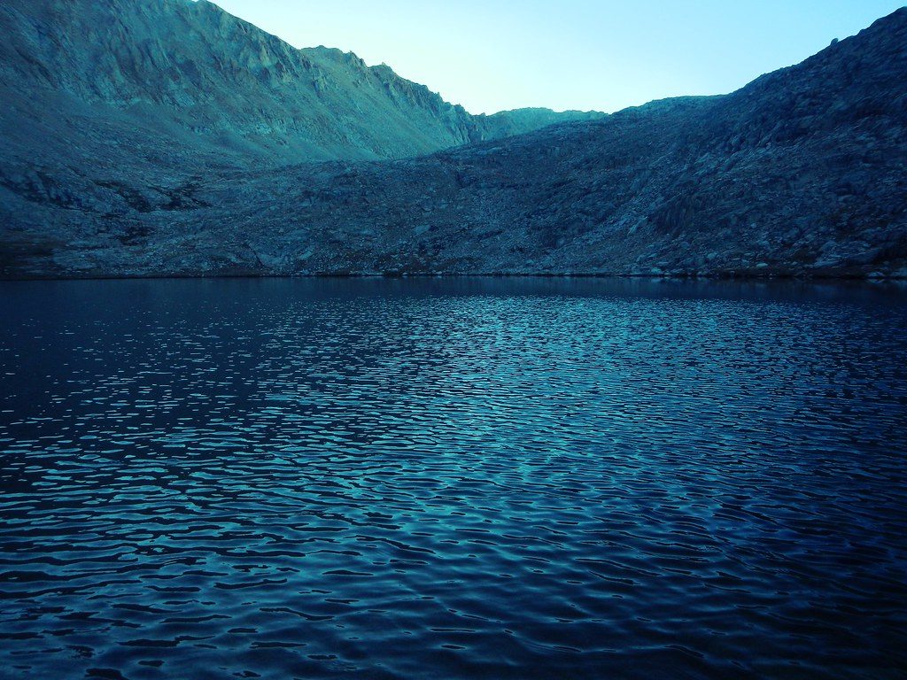
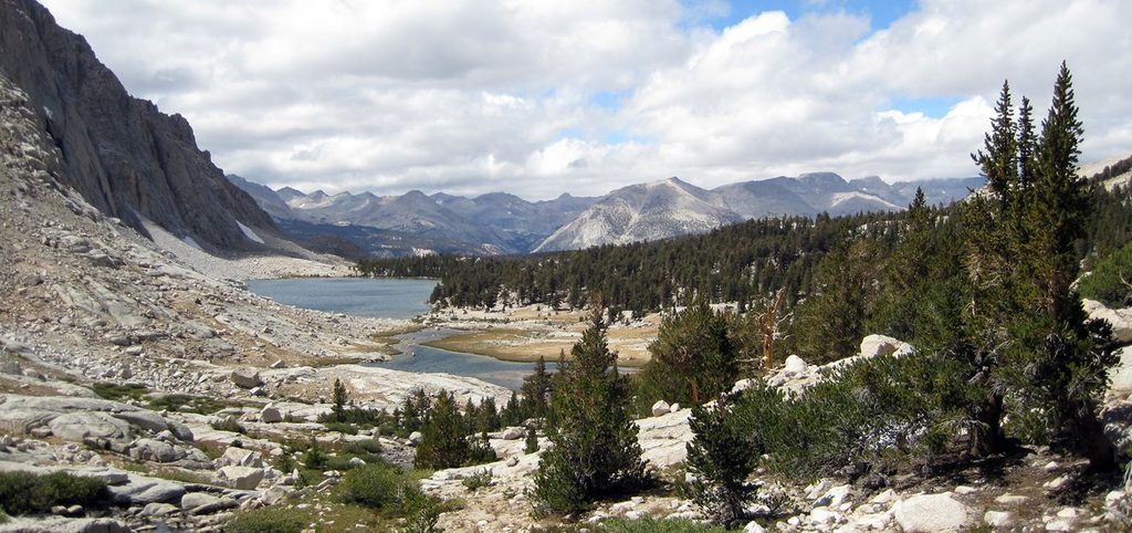
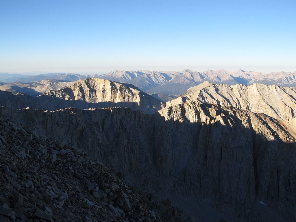
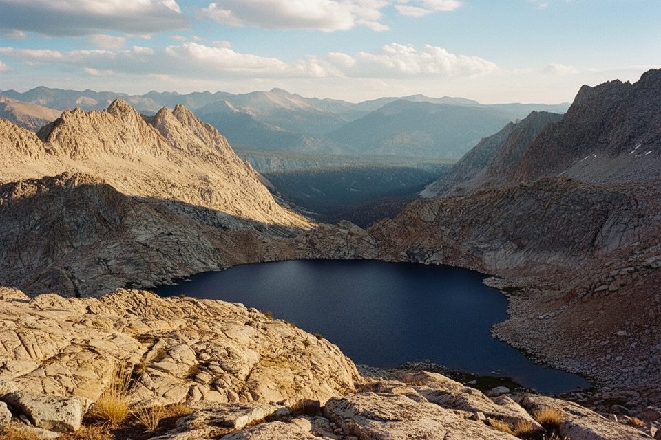
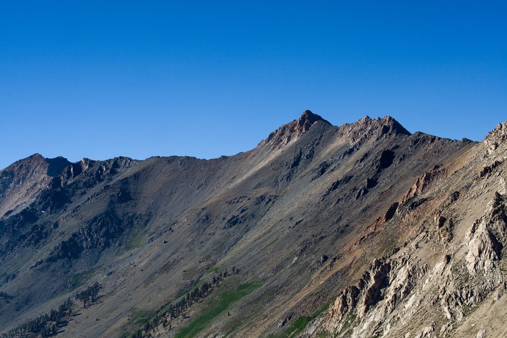
Wright Lakes Basin is classic High Sierra: a broad, glaciated granite bowl dotted with multiple alpine lakes around 11,000–11,400 feet. It sits just west of the PCT/JMT near Wright Creek, offering open slabs, tundra-like meadows, and sweeping views toward the crest. If you’re craving solitude and big mountain feel, this basin delivers.
Most strong parties reach the basin via the east-side Shepherd Pass approach. It’s a serious undertaking: you climb to roughly 12,000 feet over a long, exposed trail, then head south along the crest corridor to the Wright Creek area and make a short, straightforward cross-country ramble into the basin. As a reality check, the out-and-back to the Wright Creek vicinity is on the order of ~40 miles with nearly 10,000 feet of total elevation gain; the basin lies just beyond via easy off-trail travel. Expect long waterless stretches above treeline, intense sun, wind, and the effects of altitude.
Travel is mostly on polished granite benches with occasional talus and open meadows. Camps are found on durable granite near the lakes—spread out and avoid fragile turf. Water is generally plentiful in-season, but always filter and never count on a single source late in the year. The vibe is wild and quiet; you’ll feel far from the front-country bustle.
Typical high-country residents are around: mule deer, marmots, raptors, and songbirds. Black bears are more common in the forested approaches—regardless, keep food secured at all times and give wildlife space.
This is true wilderness—no toilets, tables, or trash service. Follow Leave No Trace, use proper backcountry sanitation, and pack out everything. Wilderness permits are required for overnight trips during quota season. Bear-resistant food storage is required, and campfires are prohibited above 10,000 feet in this region of the park. Carry a paper topo and offline maps; the final approach is off-trail and weather can change fast.
July through September is the usual window, highly dependent on snowpack. Early season can leave snow lingering near Shepherd Pass; afternoons often bring thunderstorms. Start big days early for cooler temps, calmer winds, and more stable skies. Weekdays see fewer people on the approach, and sunrise/sunset light makes the granite glow—plan your photos around golden hours.
Place · 1.2 mi away
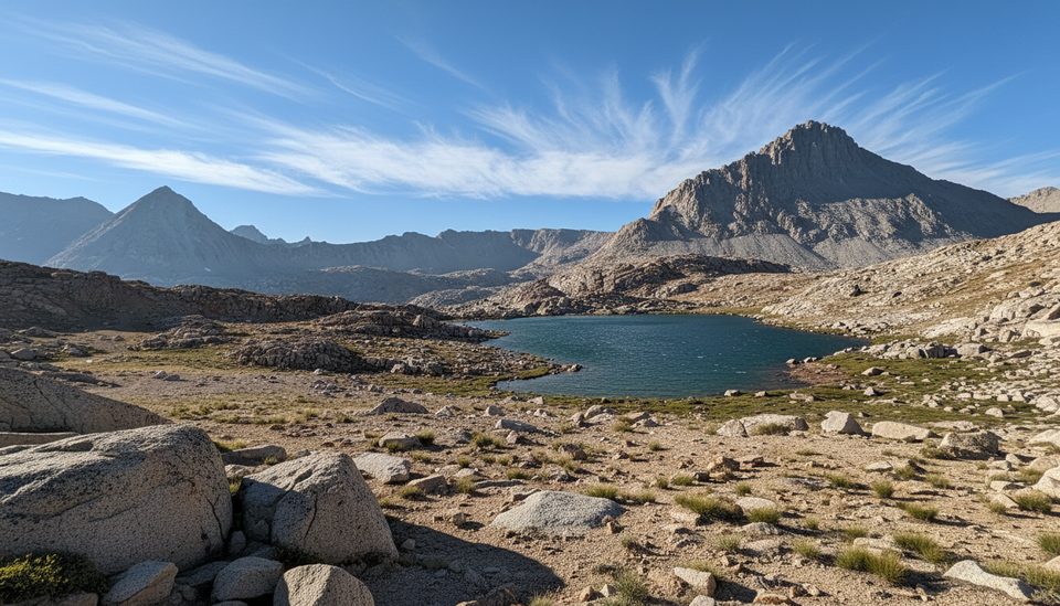
Place · 4.1 mi away
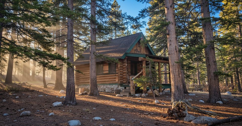
Place · 4.6 mi away
Place · 4.8 mi away
Challenging · 5.4 mi away
Challenging · 7.2 mi away
Challenging · 18 mi away
Challenging · 18 mi away

Parkwolf Tour Guide
