
Place · 0.6 mi away
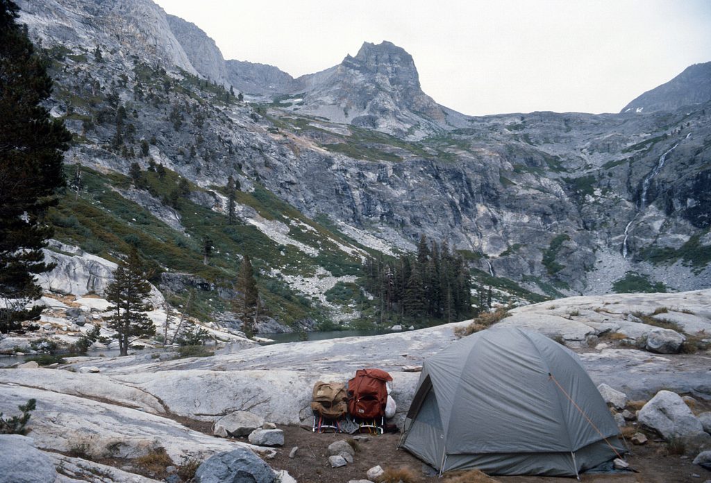
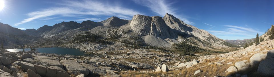
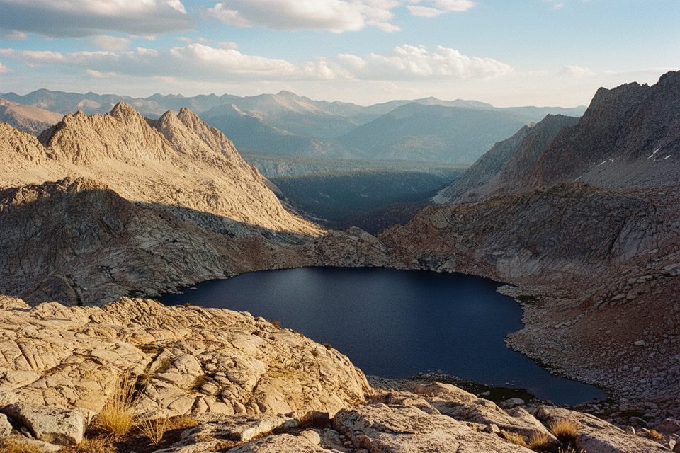
Kaweah Gap is a 10,700‑foot pass on the High Sierra Trail, crossing the Great Western Divide between Precipice Lake and the Big Arroyo. It’s roughly 20 miles east of the Crescent Meadow trailhead, fully backcountry, and unforgettable for its sweeping granite scenery and horizon-to-horizon views.
Most backpackers reach the gap from Crescent Meadow. Common legs are Crescent Meadow to Bearpaw Meadow (or Nine Mile Creek for a shorter first day), then to Hamilton Lakes, and up past the blasted ledges above Hamilton Gorge and the stark basin of Precipice Lake to Kaweah Gap. From the pass, the trail drops gently into the open Big Arroyo, where many parties camp.
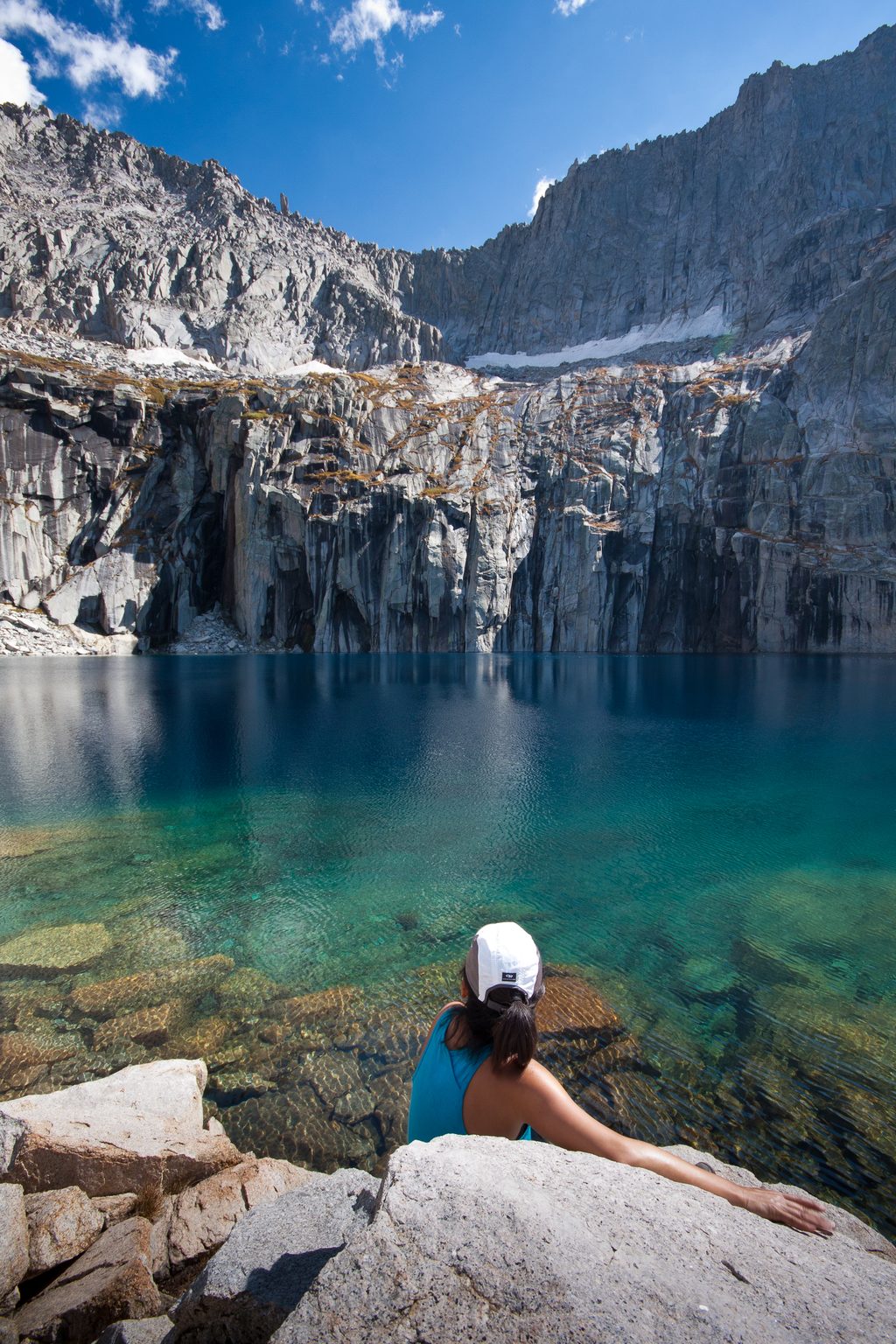
Expect classic High Sierra granite and glacially carved basins. You’ll pass the former Hamilton Gorge bridge site (lost to a 1937 avalanche; the trail now uses blasted ledges and short tunnels), the often-icy waters of Precipice Lake well into summer, and austere alpine terrain with thin soils and hardy shrubs. From the gap itself, the views feel endless.
A wilderness permit for the High Sierra Trail is required on this segment; Alta Trail permits are not valid between Seven Mile Hill and Kaweah Gap. In peak season, permits are reserved in advance, and pickup is typically at Lodgepole Visitor Center.
Snow can linger near Precipice Lake and Kaweah Gap into early summer, and early‑season creek crossings can run high. Start early to avoid typical afternoon thunderstorms on exposed terrain. At these elevations, watch for altitude sickness and descend if symptoms worsen. Rattlesnakes are possible at lower elevations on the approach, and standard food storage practices apply throughout the backcountry.
Anglers often find trout (brook, rainbow, golden) at Big Hamilton Lake below the pass—follow regulations. Higher up, wildlife is more about hardy alpine birds and occasional marmots, while the lower approach hosts more diverse species.
There are no facilities at Kaweah Gap—no restrooms, treated water, or stores. Treat all natural water. Restrooms are available back at the Crescent Meadow Picnic Area, and frontcountry water and supplies are in the Lodgepole/Wuksachi corridor; plan before you head out.
July through September is the sweet spot. July may still hold patches of snow near the pass; August is usually snow‑free but can see wildfire smoke; September brings cooler, clearer air with low creek crossings. For photography and calmer weather, crest the pass in the morning on a midweek day to avoid the busier Hamilton Lakes corridor and typical afternoon build‑ups.
Place · 0.6 mi away
Place · 0.8 mi away
Place · 1.4 mi away
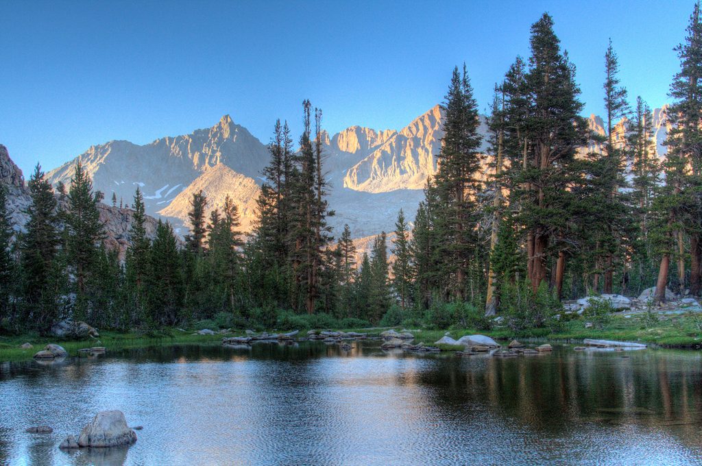
Place · 3.8 mi away
Challenging · 7.6 mi away
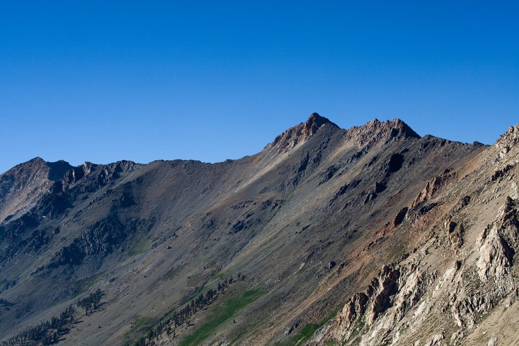
Challenging · 7.6 mi away
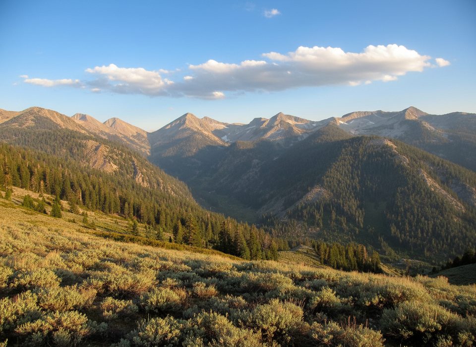
Challenging · 7.6 mi away
Challenging · 7.7 mi away

Parkwolf Tour Guide
