Parking
Use the day-use lot by the Lodgepole Campground entrance; additional campground parking is available. The signed trailhead is just beyond Marble Fork Bridge inside the campground.

#8 of 99 trails in Sequoia
Sequoia National Park, CA
Follow the Marble Fork to a 1,200-foot granite cascade
Overview
Map & elevation
Plan your hike

The highest, rockiest slopes around here are a summer buffet for grizzly bears.
Sequoia Tour Guide
Parkwolf is a GPS audio tour guide for Sequoia National Park. As you drive, it chimes in with what’s ahead: hidden gems, upcoming stops, history, geology, and wildlife, right through your car’s speakers.
See the Sequoia audio tourRecorded for this trailhead
Lodgepole and Tokopah Falls“Lodgepole is coming up, where the trail to Tokopah Falls follows the river into a glacier-carved granite canyon.”
Plays as you drive up to this trailhead in the Parkwolf Sequoia Tour Guide.
More stories near here in the app
“…The kids and my husband and I all agree that the narration really added to our experience driving through the parks. We learned so much about the history and the flora & fauna.”


Trail guide
Tokopah Falls is an out-and-back from the trailhead just beyond Marble Fork Bridge in Lodgepole. The mapped path is about 1.9 miles each way, or 3.8 miles round trip, with roughly 600 feet of climbing; plan on about two hours of walking, plus time at the falls. Published distances range from 3.4 miles round trip in official park descriptions to about 3.7–4.1 miles in mapped accounts, depending on the measured trail end and campground approach. Plan for close to four miles. The climb starts gently, but the high elevation and rough finish make it more than a stroll.
After the bridge, the trail follows the Marble Fork upstream through pine woods, with the river close by and granite walls rising above it. The maintained path climbs steadily, crossing several bridges and stairways, with smaller streams along the way. Around Horse Creek bridge the trees begin to thin and the canyon opens; the falls come into view as you approach the boulder field. The broad, mostly maintained path still feels like a mountain trail, with bridges and stairs rather than a paved stroll. Horse Creek is a useful landmark: beyond it, the pine cover breaks up and the falls are easier to pick out. The final stretch also loses much of the earlier shade.
The last few hundred yards wind over and between large granite boulders. This stretch is noticeably rougher and steeper than the earlier trail, so expect slower footing. The route ends on a broad, flat area beside the lower part of the falls. You are looking at a long cascade over steep granite, not a single plunge, and the trail does not continue to the waterfall’s unseen top. The unpaved route, stairs and boulders are not wheelchair accessible.
A glacier carved Tokopah Valley, leaving the high granite walls that frame the walk. The Watchtower is a distinct landmark above the river; including a bit of trail or river below it gives a photo a sense of scale. This is a high-country canyon walk rather than a sequoia-grove route: there are no sequoias on this trail. Marmots, deer and bears live in the canyon, though sightings are never guaranteed.
Use the day-use parking area by the Lodgepole Campground entrance; additional campground parking is available. The trailhead is just beyond Marble Fork Bridge inside the campground. Lodgepole Market and Grill are nearby for supplies and casual meals, separate from the walking route; check their seasonal operation. Dogs are not allowed on park trails.
Wildlife
 691 sightingsBlack BearMost seen around 6 PMSighting map
 17 sightingsMountain LionMost seen around 6 AMSighting map
 18 sightingsBobcatMost seen around 7 PMSighting map
 24 sightingsCoyoteMost seen around 7 PMSighting map
 15 sightingsGolden EagleMost seen around 11 AMSighting map
 20 sightingsSpotted OwlMost seen around 7 PMSighting map
Sighting maps show where each species has been reported across Sequoia. Wildlife moves, so no sighting is guaranteed.
Keep exploring
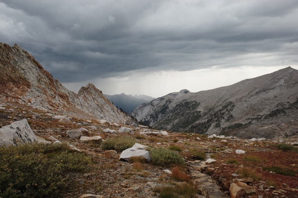 ChallengingDeadman Canyon Loop49 mi · 1.3 days · At the trailheadA six-day traverse from Lodgepole to Deadman Canyon’s granite headwall
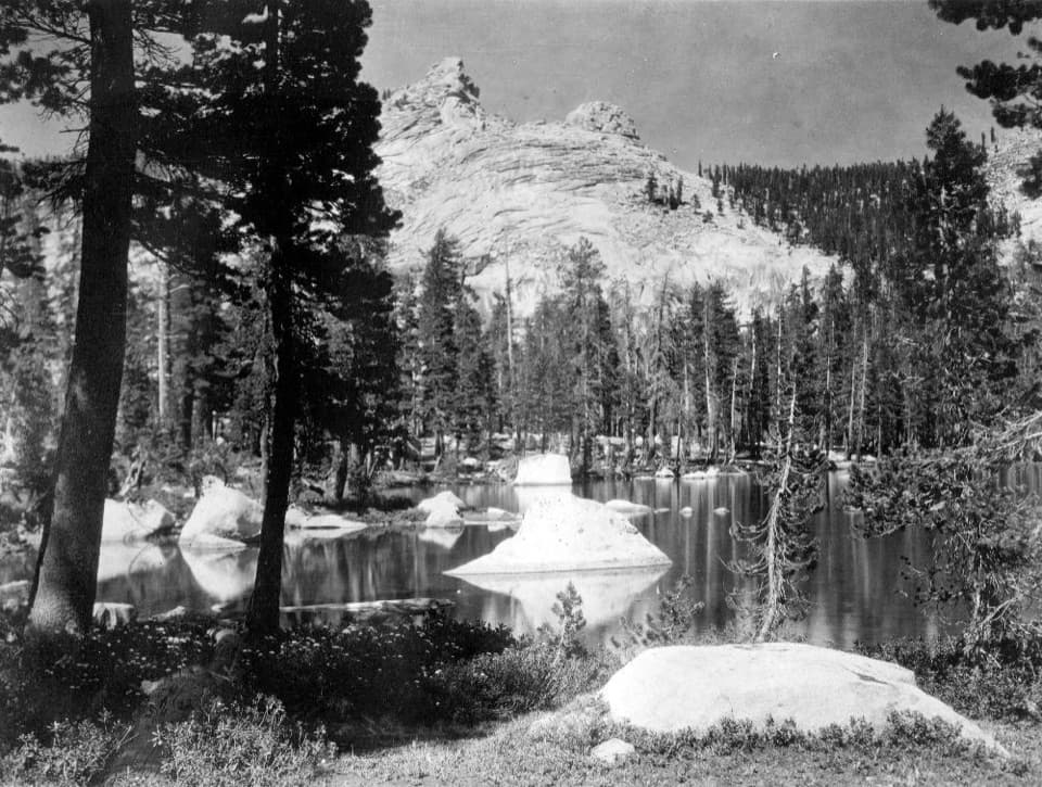 ChallengingSilliman Pass Trail15.4 mi · 10 hr · At the trailheadA long, strenuous hike to Twin Lakes and a wooded Sierra pass.
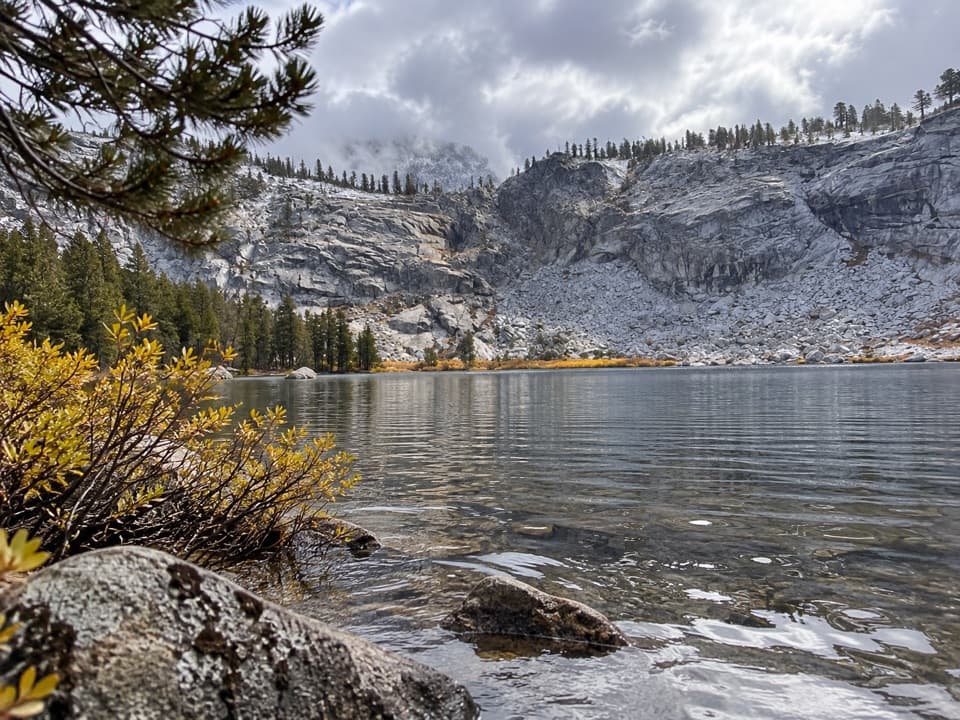 ChallengingTwin Lakes Trail13.6 mi · 8 hr · At the trailheadWorth the long pine climb for two quiet high Sierra lakes.
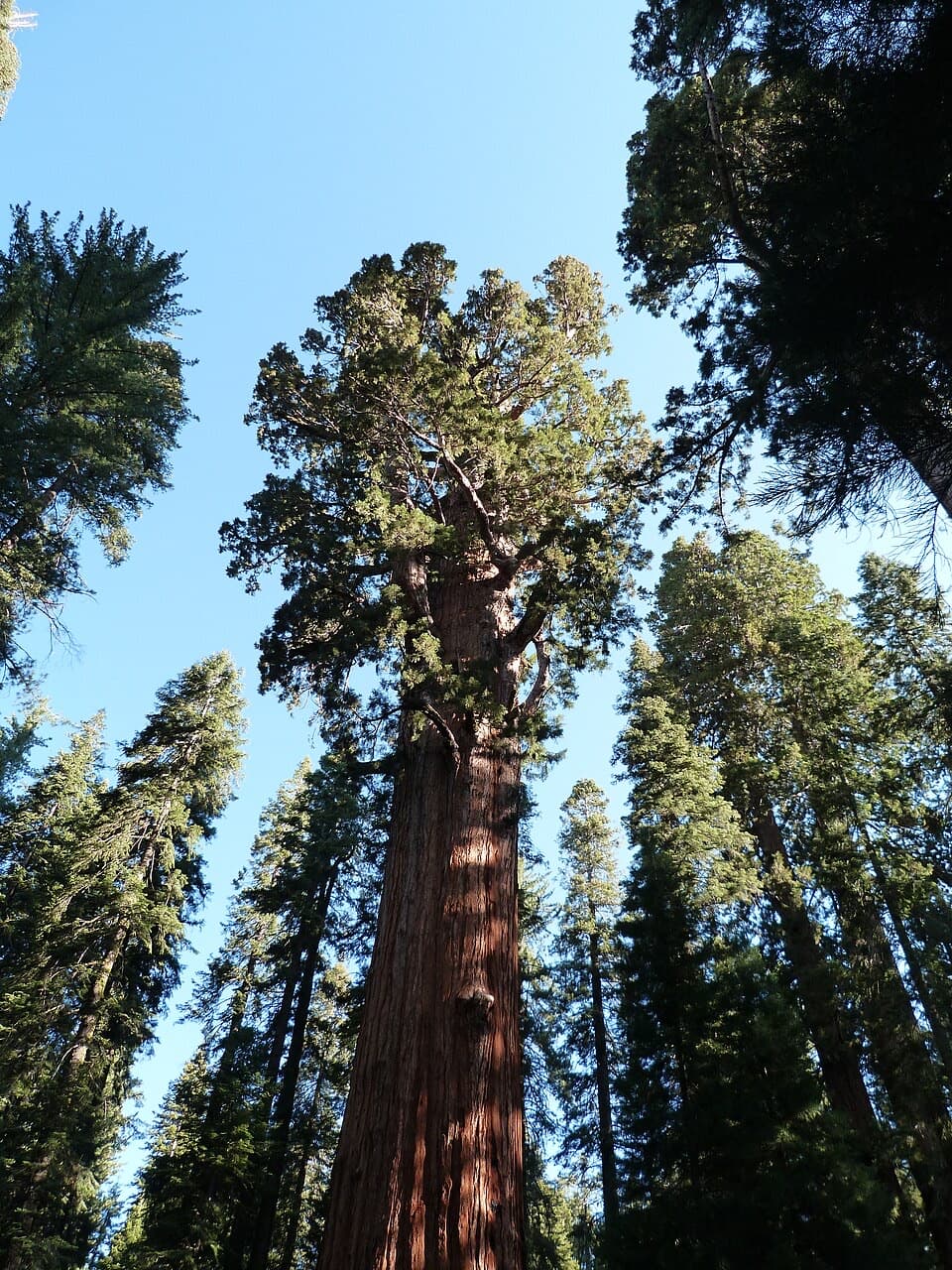 ModerateLodgepole–Sherman Tree Trail2.8 mi · 3.5 hr · 0.2 mi awayA 2.8-mile walk through sequoias to General Sherman Tree.
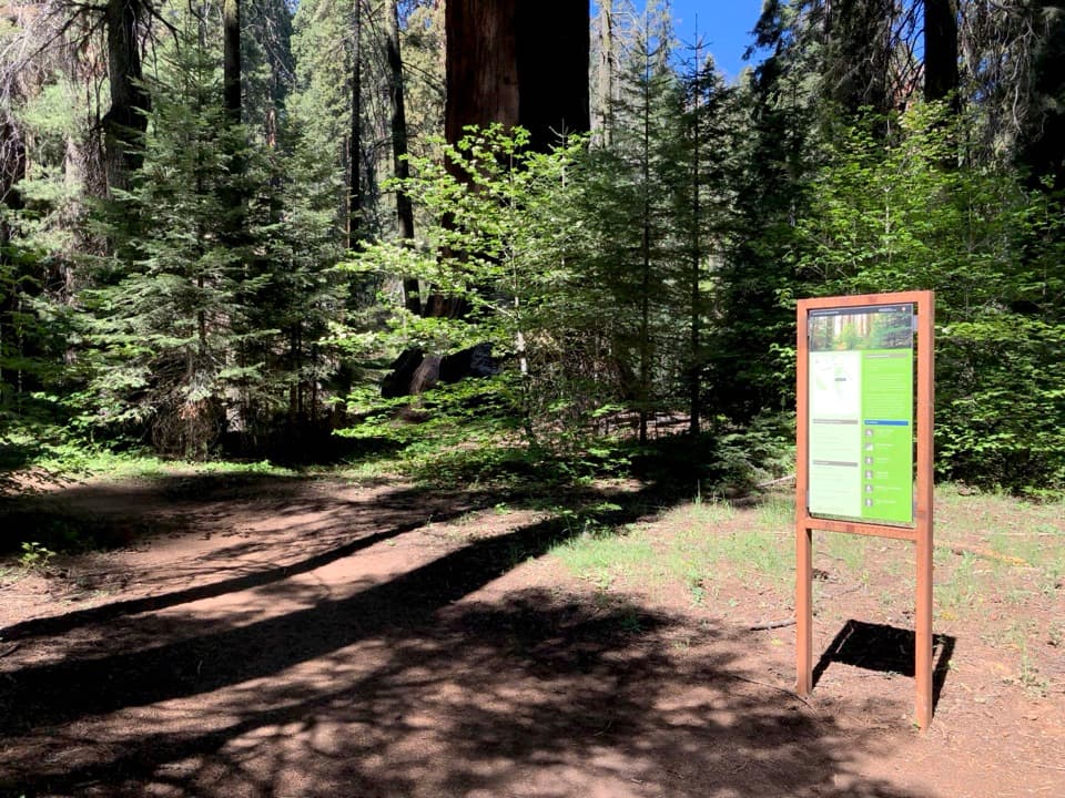 ChallengingAlta Winter Trail6.2 mi · 7 hr · 0.8 mi awayA winter ridge drops into Giant Forest's giant sequoias.
 ModerateLong Meadow Loop2.8 mi · 1.5 hr · 0.8 mi awayA quiet loop around a wet meadow where wildlife is the point.
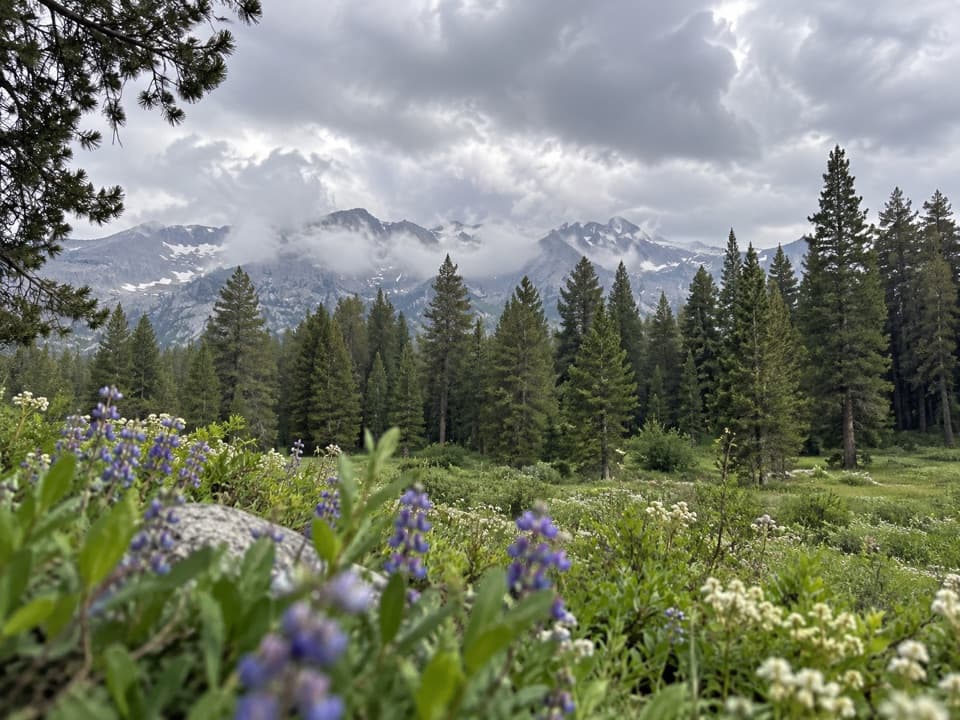 ChallengingAlta Meadow Trail13.1 mi · 7.5 hr · 0.8 mi awayA hard climb ends in a meadow beneath the Great Western Divide.
 ChallengingLakes Trail to Pear Lake12.8 mi · 7.5 hr · 0.8 mi awayFrom forest switchbacks to the glacial bowl around Pear Lake.
 Campground · 0.2 mi awayLodgepole CampgroundCamp beside the Marble Fork, with a shuttle to Giant Forest.
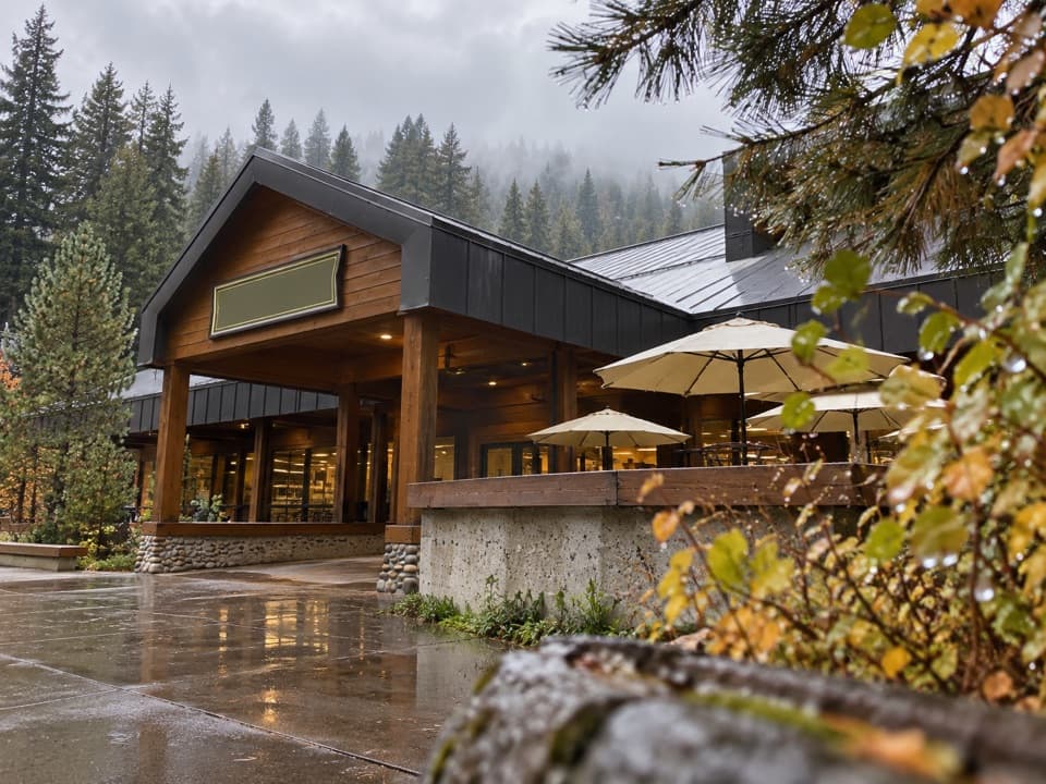 Store · 0.5 mi awayLodgepole Market CenterA high-country supply stop with groceries, a grill, showers, and laundry.
 Visitor center · 0.5 mi awayLodgepole Visitor CenterGet oriented before the big trees, with exhibits that travel by sound.
 Picnic area · 0.7 mi awayLodgepole Picnic AreaA shaded riverside picnic with Lodgepole's village services close by.
 Picnic area · 0.9 mi awayWolverton Picnic and Snowplay AreaA meadow picnic spot with winter snowplay when conditions allow.
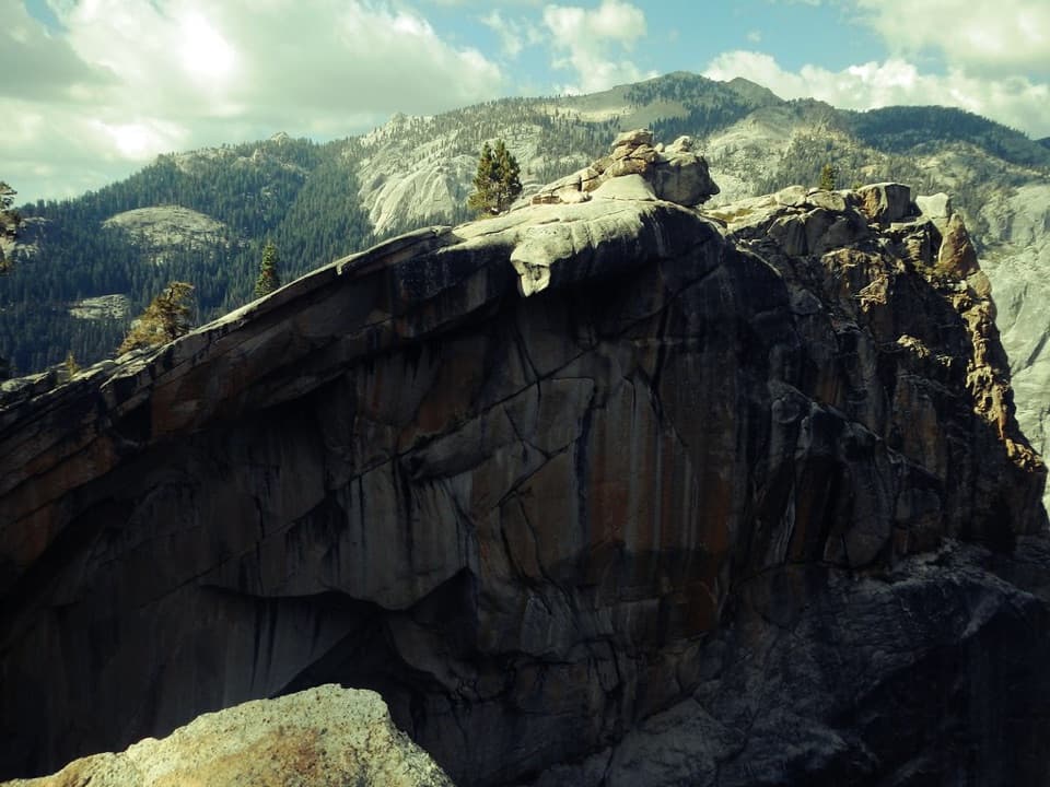 Sight · 1.3 mi awayThe Watchtower ViewpointA long climb pays off with Tokopah Falls far below.
 Sight · 1.6 mi awayTokopah FallsA granite canyon walk ends at a 1,200-foot waterfall.
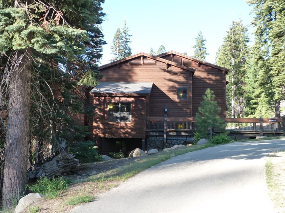 Lodging · 1.7 mi awayWuksachi LodgeA wooded, in-park base with meals and starry skies.
Parkwolf’s Sequoia ranking

The audio tour guide for the drive, plus offline maps, trails, and wildlife heatmaps for when the signal drops.




