
Place · 1.3 mi away
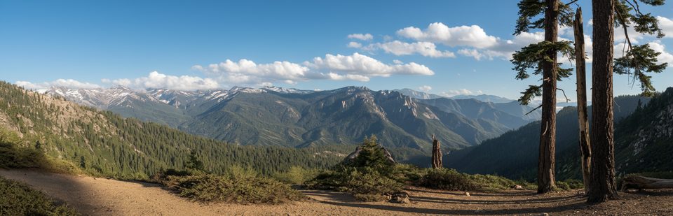
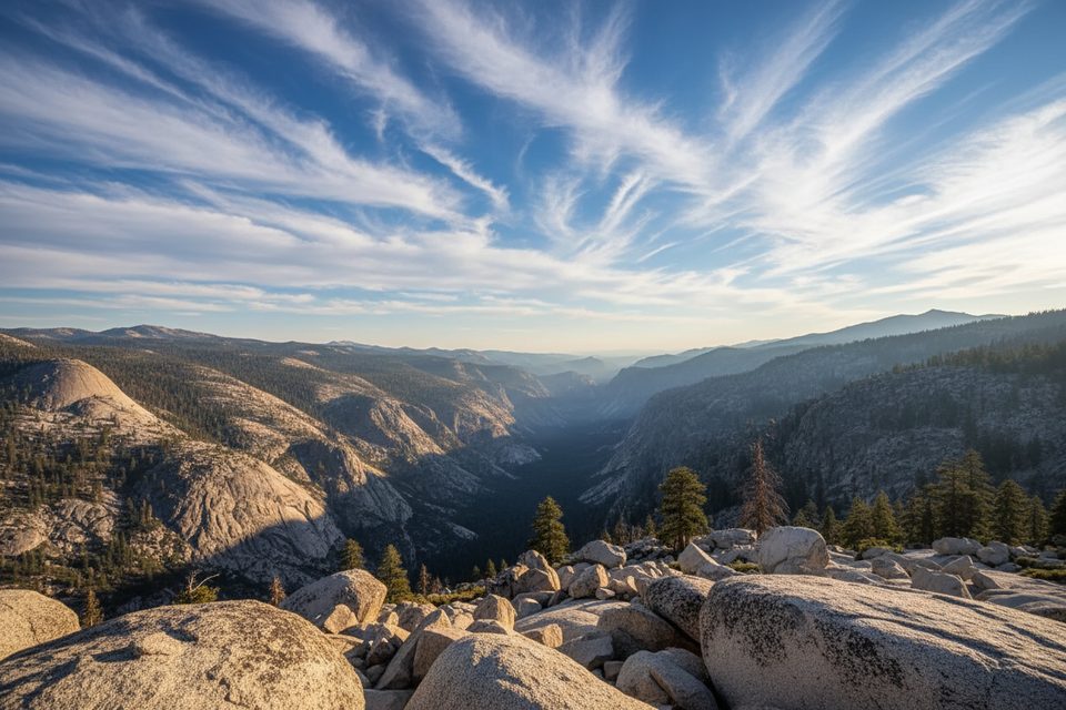
Panther Gap is a high pass tucked between Panther Peak and Mehrten Meadow, perched above Panther Meadow and Wolverton Creek. It’s the kind of spot where the landscape suddenly opens—delivering big views into the Middle Fork Kaweah drainage with craggy Sierra granite all around. Think short-to-moderate effort for a classic payoff.
Most hikers start at the Wolverton area and take the Lakes & Panther Gap Trail to the pass. Expect roughly 5.5 miles round‑trip with about 1,230 feet of gain, taking around 3 hours for fit hikers. If you want a bit more variety, there’s a loop option of about 6.7 miles and ~1,450 feet of gain that threads meadows like Panther, Red Fir, and Long Meadow. Notes from recent hikers mention a steady climb, occasional overgrown stretches or storm debris, and seasonal creek crossings—start early and bring bug spray in mid‑summer.
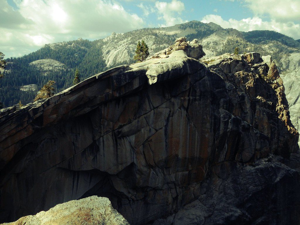
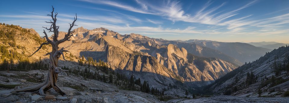
From the gap, you’re looking across quintessential Sierra Nevada terrain shaped by uplift, erosion, and multiple glaciations. The Great Western Divide dominates the skyline, while the Kaweah Basin’s deep canyons spill away below. The Giant Forest uplands sit on ancient erosion surfaces around 6,500–7,000 feet, and nearby summits like Panther Peak rise higher—reminders of just how layered the Sierra’s geologic story is.
This is prime Sierra habitat: mule deer, marmots in the higher meadows, and a healthy black bear population. Keep a clean pack, give wildlife space, and follow park food‑storage guidance—bears work picnic areas and trailheads. In early season, snow can linger near the pass; footing and wind exposure at the gap can make conditions feel more serious than the mileage suggests.
Wolverton is the usual trailhead, with parking that fills on busy summer weekends. When operating, park shuttles help ease congestion. There’s a pit toilet at or near the trailhead, and proper restrooms, water spigots, and picnic facilities are close by at Wolverton and Lodgepole picnic areas. Lodgepole Village adds showers, laundry, and a market/grill; Wuksachi offers dining and typically has Wi‑Fi. No gas in the park—fill up before entering. Carry all the water you’ll need on trail; there are no reliable fills along the route.
Late spring through fall is the sweet spot. Expect lingering snow near the pass in early June some years, and bring microspikes or poles if warranted. Summer brings crowds and parking pressure—arrive early or use shuttles if they’re running. In winter and shoulder seasons, roads can close and chains may be required.
Feeling strong at the gap? Many hikers continue toward Alta Peak for a bigger day. Multi‑day adventurers sometimes link this area into Tablelands/Moose Lake loops—spectacular, but with off‑trail navigation and more exposure suited to experienced backcountry travelers. Overnight trips require a wilderness permit.
Place · 1.3 mi away
Place · 1.4 mi away
Place · 1.8 mi away
Place · 1.8 mi away
Easy · 1.7 mi away
Challenging · 1.8 mi away
Moderate · 1.8 mi away
Challenging · 1.8 mi away

Parkwolf Tour Guide
