
Place · 2.1 mi away
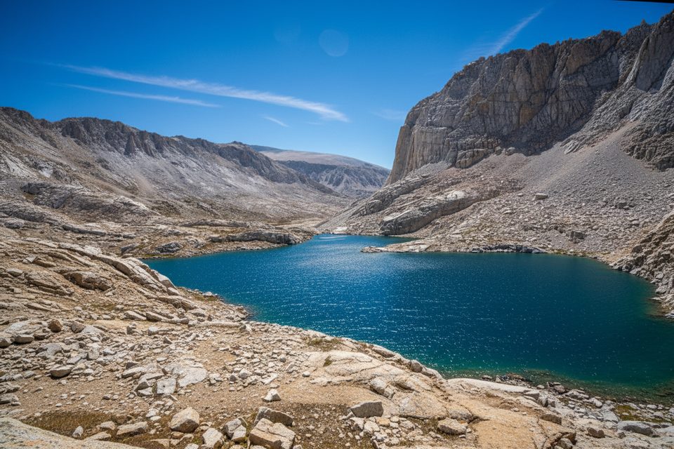
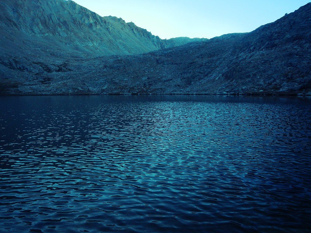
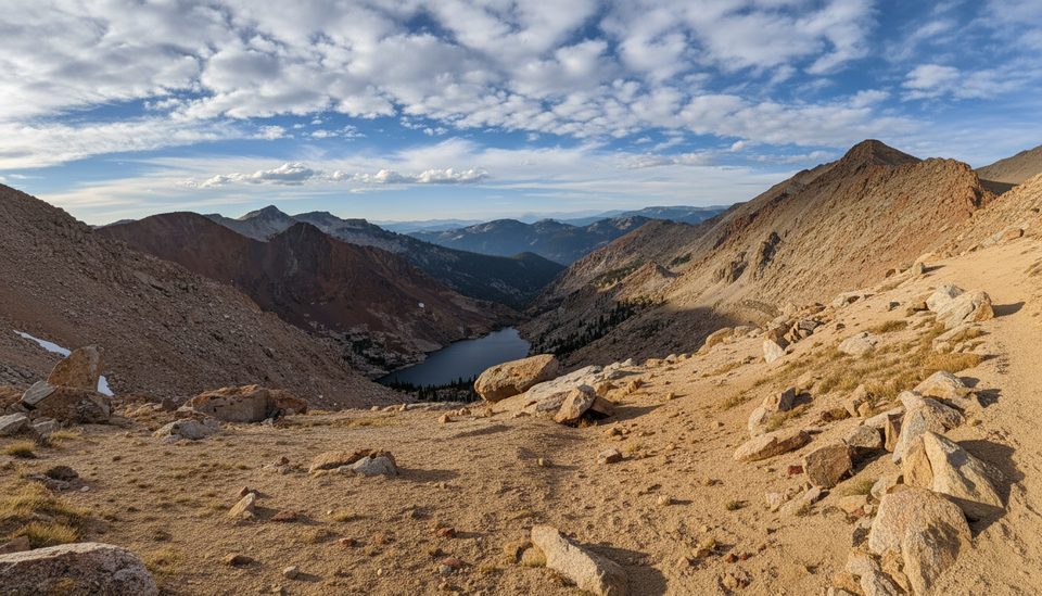
Sky Blue Lake sits around 11,550 feet at the head of Miter Basin, a broad, glacially carved amphitheater of pale granite and sparse trees. The lake’s namesake blue color pops against serrated ridgelines and blocky cliffs, with a wild, remote feel you don’t get near the roads.
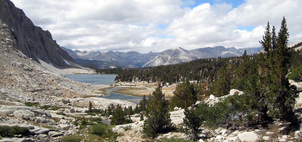
Most hikers approach from Horseshoe Meadow via Cottonwood Pass or New Army Pass, then through the Soldier Lakes area and up Rock Creek into Miter Basin. From Lower Soldier Lake, it’s roughly 3.5 miles one-way to Sky Blue Lake. Expect intermittent tread: above Rock Creek the use-trail fades, and you’ll follow terrain and bits of path on the north side as you climb into the basin. A handy shortcut between Soldier Lake and Miter Basin avoids dropping all the way to Rock Creek Meadow (otherwise you’ll lose and regain about 500 feet). There’s no road access and no built trail in the final stretch.
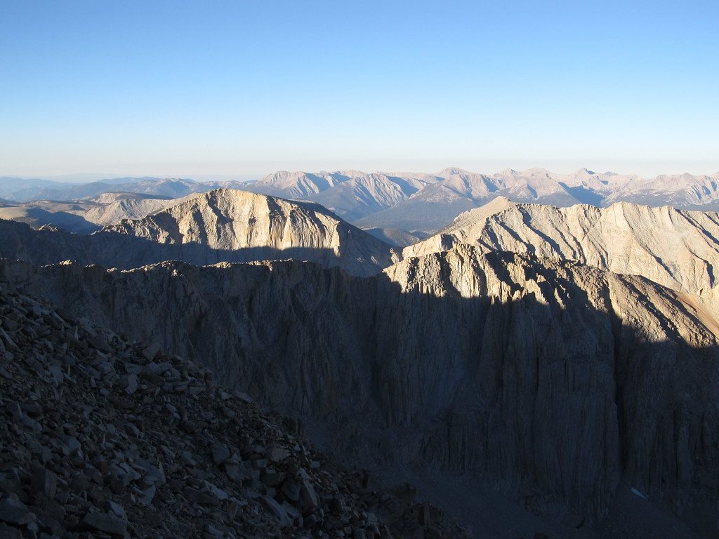
This is classic high Sierra country: stark granite, clear water, and big horizons. The basin is ringed by dramatic peaks; hikers call out the striking walls and pinnacles and the amphitheater feel of the terrain. An ice shelf often lingers along the lake’s west shore; if you’re circling the lake, the east side is typically easier travel.
This is true backcountry: no toilets, no trash cans, no tables, no bear boxes at the lake, and no signage near the top. A wilderness permit and a bear canister are required for overnights. Many parties stage at Lower Soldier Lake, where there’s a signed spur to a communal food storage box, then day-hike up to Sky Blue Lake. Carry a topo map or GPS—expect use-trails to vanish in upper Miter Basin—and follow Leave No Trace.
Late summer into early fall typically offers the best balance of melted snow and fewer bugs. Start early to avoid afternoon storms on the exposed high country. Because it’s a long approach, most visitors plan 2–3 days, often pairing a weekday start with a camp at Soldier Lake before heading up to Sky Blue.
Place · 2.1 mi away
Place · 3.3 mi away
Place · 3.4 mi away
Place · 3.4 mi away
Challenging · 4.2 mi away
Challenging · 4.8 mi away
Challenging · 18.7 mi away
Challenging · 18.7 mi away

Parkwolf Tour Guide
